© Bregenzerwald Tourismus - Elisabeth Schneider

© Bregenzerwald Tourismus - Benjamin Schlachter

© Diedamskopf Alpintourismus - Alex Kaiser

© Bregenzerwald Tourismus - Christoph Lingg

© Bregenzerwald Tourismus - Elisabeth Schneider

- Brief description
-
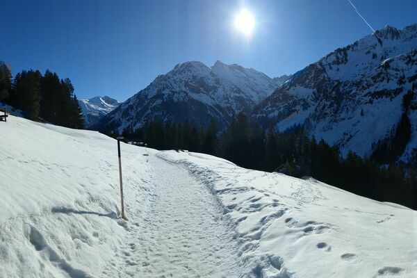
Steep sections make this tour advisable for seriously fit bikers.
- Difficulty
-
difficult
- Rating
-
- Starting point
-
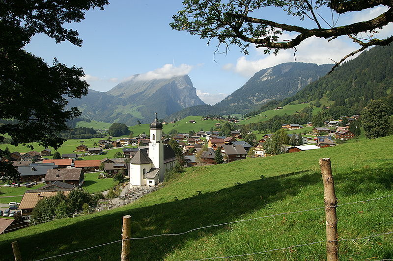
Schoppernau, Town Hall
- Route
-
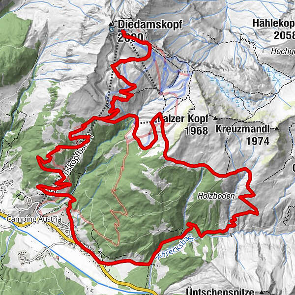
St. Philippus & Jakobus0.0 kmSchoppernau (852 m)0.1 kmZum Fraaanz Restaurant0.1 kmAlpe Unterdiedams5.5 kmAlpe Mitteldiedams6.2 kmOberdiedamsalpe9.0 kmAlpe Mitteldiedams14.3 kmBreitenalpe16.6 kmNeuhornbachhaus (1,700 m)18.5 kmNeuhornbach Alpe19.2 kmÜntschele23.4 kmHotel Gasthof Adler24.5 kmTresoli24.6 kmSchoppernau (852 m)24.8 km
- Best season
-
JanFebMarAprMayJunJulAugSepOctNovDec
- Description
-
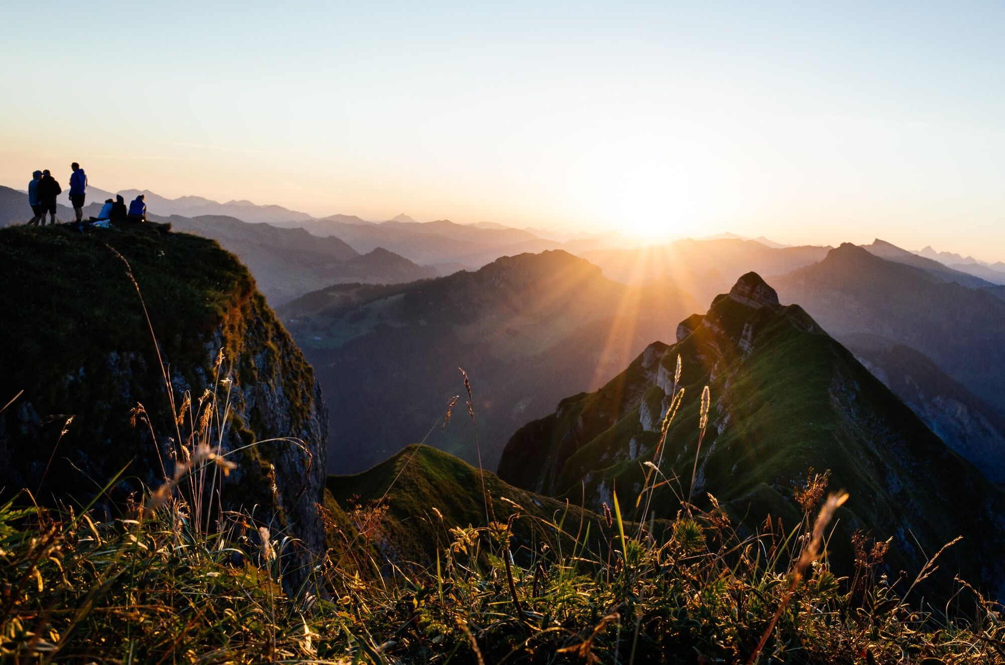
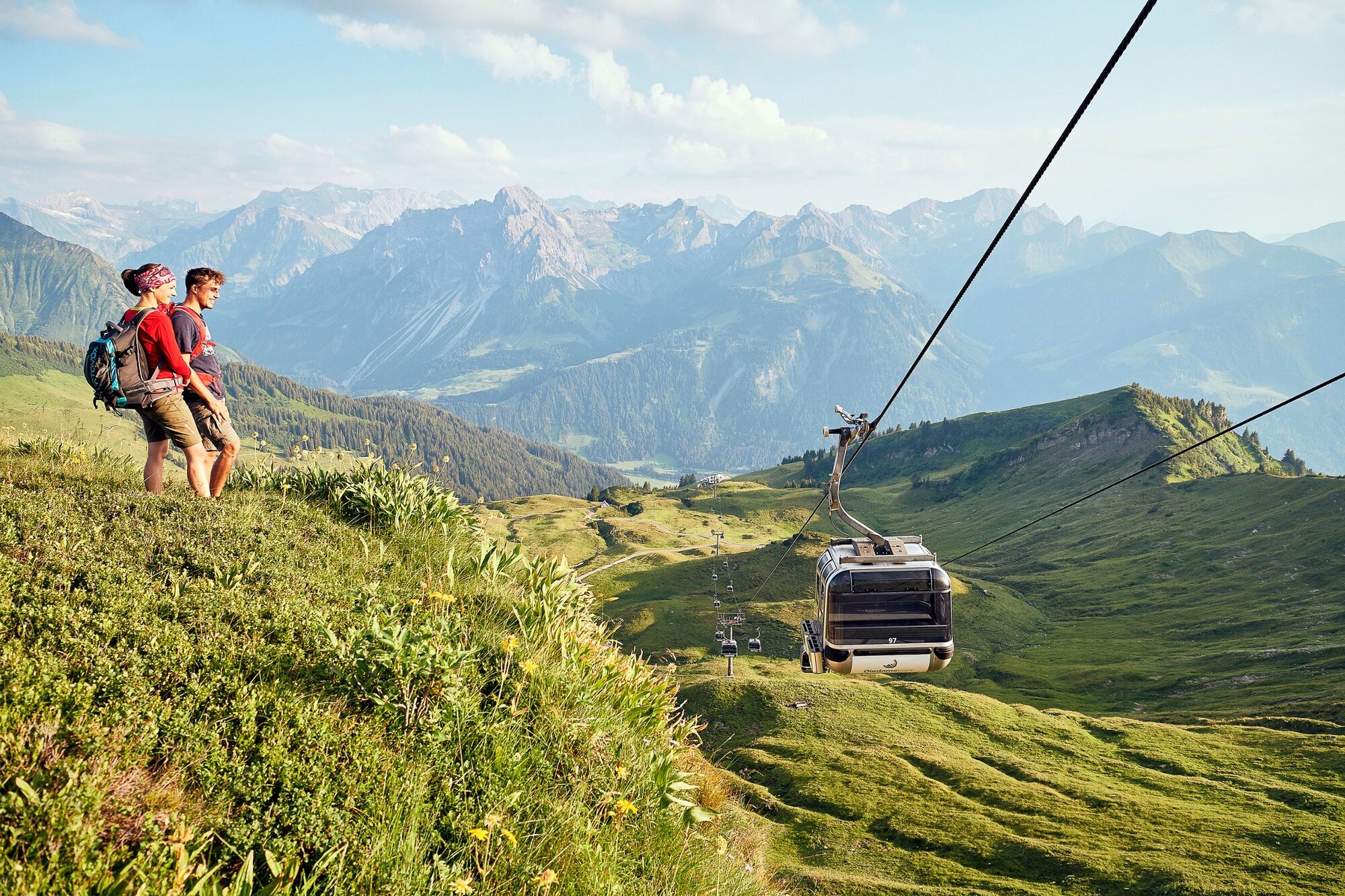
From Schoppernau, you take the alpine path, which is steep in parts, as far as Mitteldiedamsalpe. You then continue uphill to the Diedamskopf cable car mountain station. Tip: from here, it is worth taking a detour on foot to the summit, revealing an impressive panorama of the mountains and as far as Lake Constance. You come back the same way as far as Mitteldiedamsalpe, then along the mountain slope upwards to Breitenalpe. A single trail takes you to the Neuhornbachhaus. The trip back into the valley is via a forest path.
- Highest point
- 2,004 m
- Endpoint
-
Schoppernau, Town Hall
- Height profile
-

- Safety instructions
- Tips
-
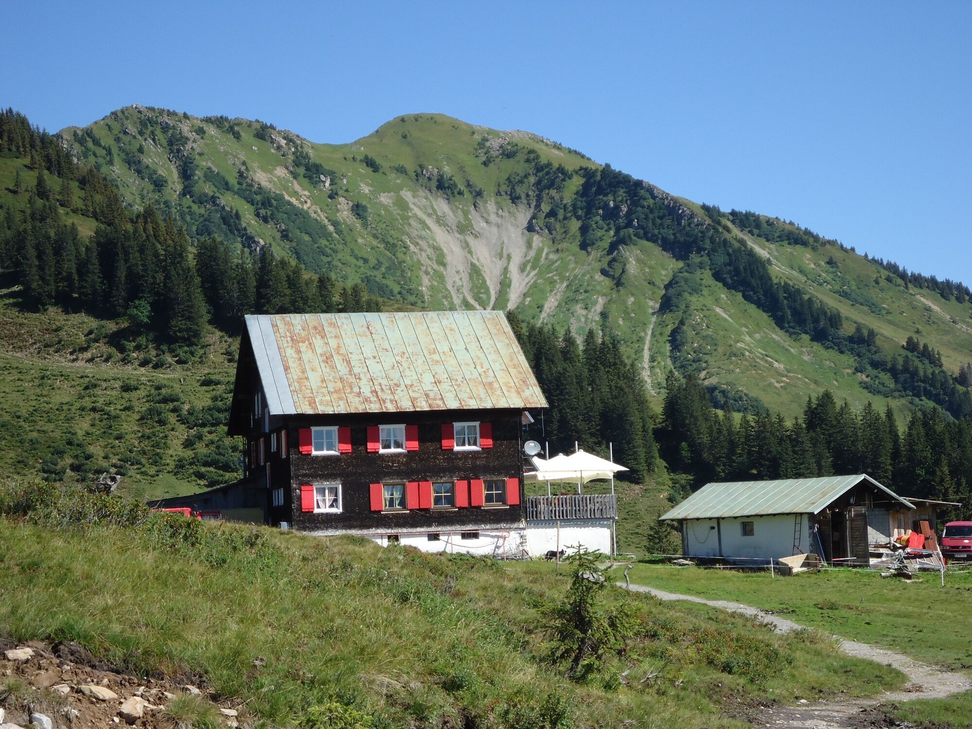
Chances to stop off for a drink/food: Alpe Mitteldiedams during the alp season from mid June to mid September.

- Author
-
The tour Schoppernau | Diedamskopf - Neuhornbachhaus is used by outdooractive.com provided.
GPS Downloads


General info
Refreshment stop
A lot of view
Other tours in the regions
-
Bregenzerwald
233
-
Diedamskopf
102