
- Brief description
-
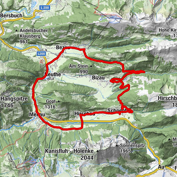
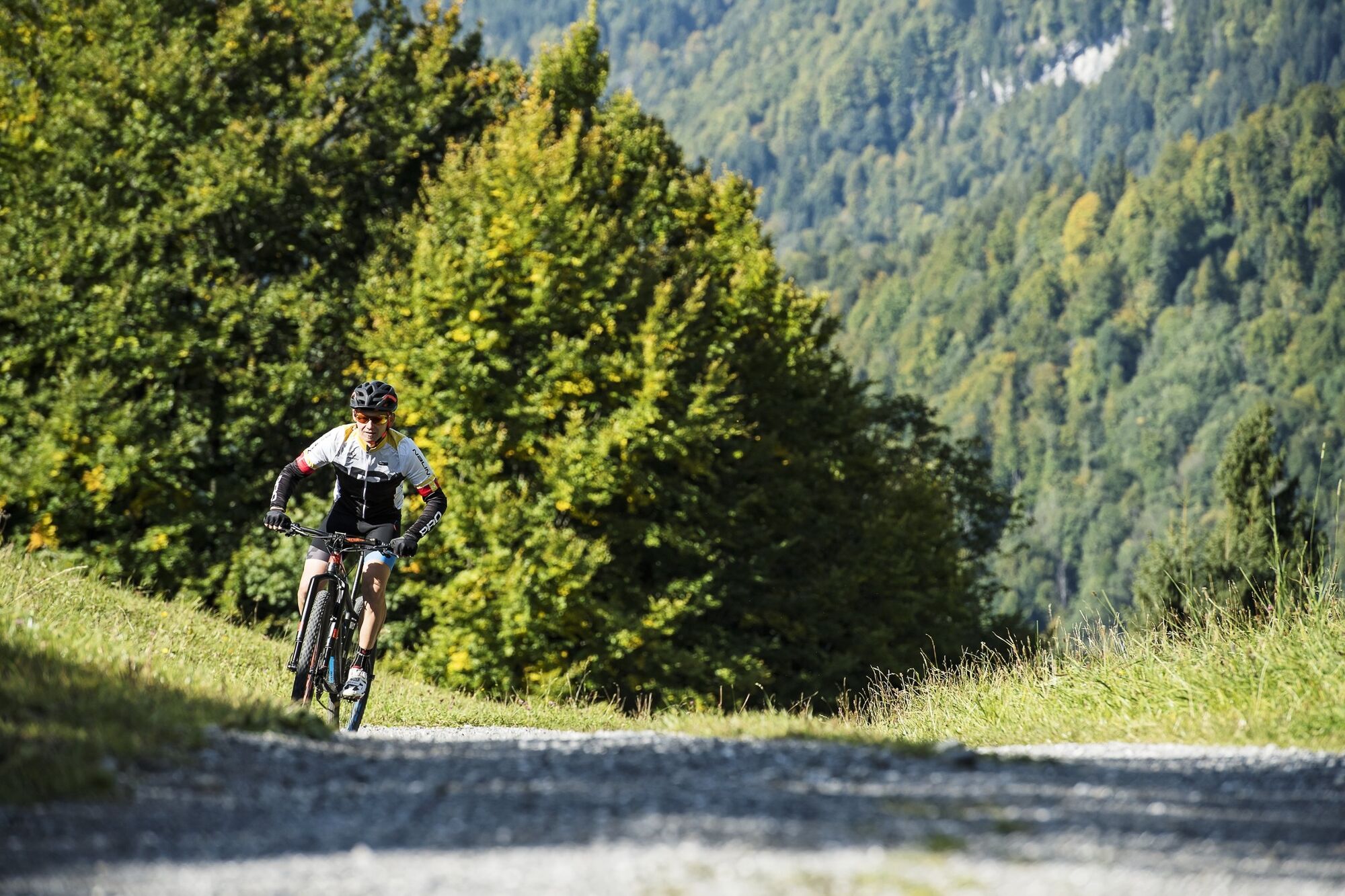
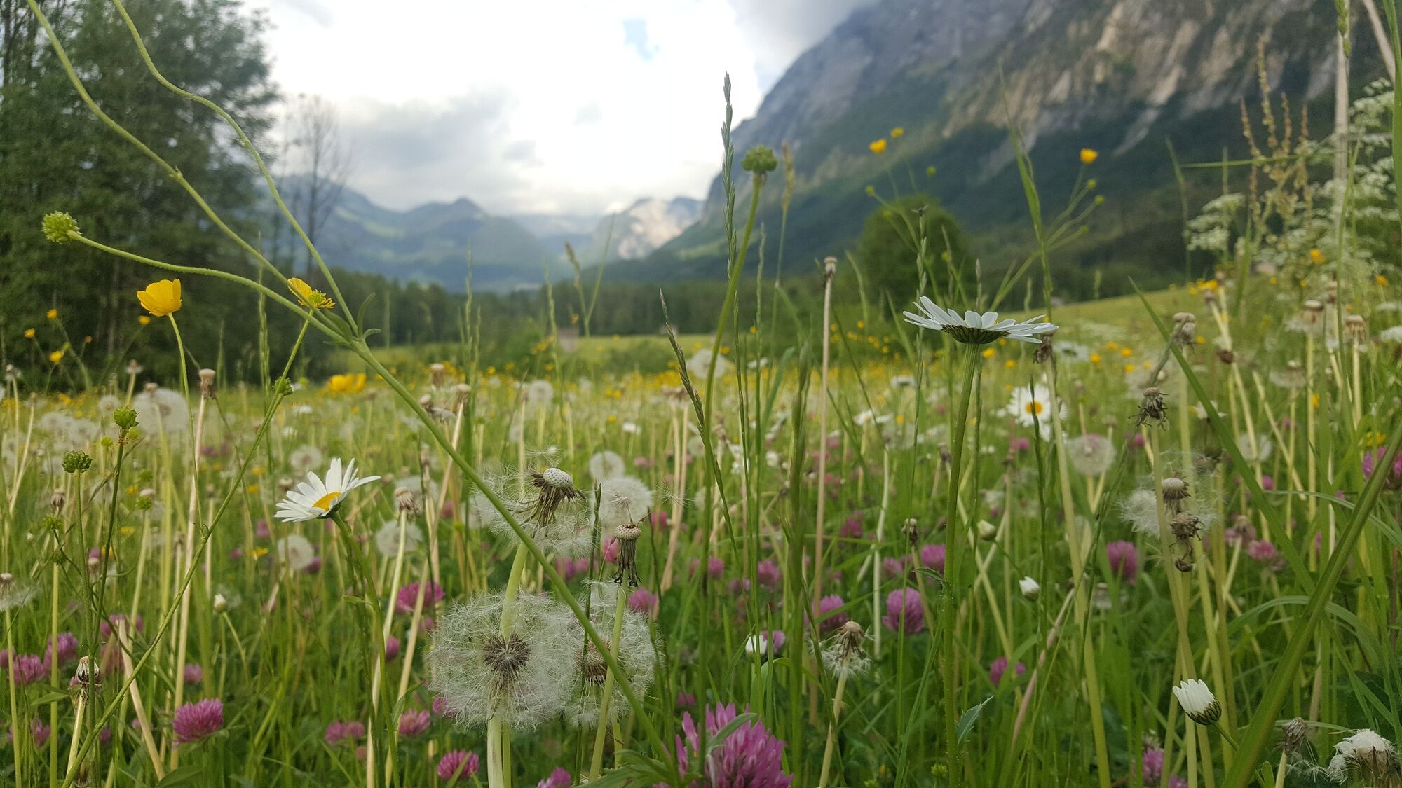
A wonderful circular tour through the villages of Schnepfau, Bezau, Mellau and Hirschau. A tour for beginners, with an elevation gain of 465 metres.
- Difficulty
-
easy
- Rating
-
- Starting point
-
Schnepfau town hall
- Route
-
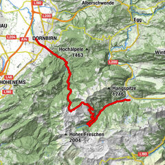
SchnepfauPfarrkirche Schnepfau0.0 kmSchnepfegg1.9 kmBerghaus Kanisfluh1.9 kmHilkat5.8 kmRimsgrund10.3 kmSandriese12.0 kmObere12.3 kmGasthof Engel13.3 kmSt. Jodokkirche13.3 kmBezau13.5 kmGasthof Hirschen13.6 kmKlosterkirche Bezau13.6 kmDost Kebap14.1 kmKatrina14.1 kmEllenbogen14.6 kmReuthe15.4 kmKlaus16.8 kmIn der Mellen17.6 kmZimmerau18.0 kmÜbermellen18.3 kmRistorante Pizzeria Sandro18.4 kmPlatz18.5 kmPfarrkirche Mellau18.6 kmMellau18.6 kmMoos18.6 kmNaze's Hus18.7 kmTempel18.8 kmAchsiedlung19.0 kmHinterbündt19.1 kmTanna19.8 kmEnge21.1 kmLourdeskapelle22.4 kmKapelle Hl. Martin22.4 kmHirschau22.5 kmSchnepfau24.8 kmPfarrkirche Schnepfau24.8 km
- Best season
-
JanFebMarAprMayJunJulAugSepOctNovDec
- Description
-
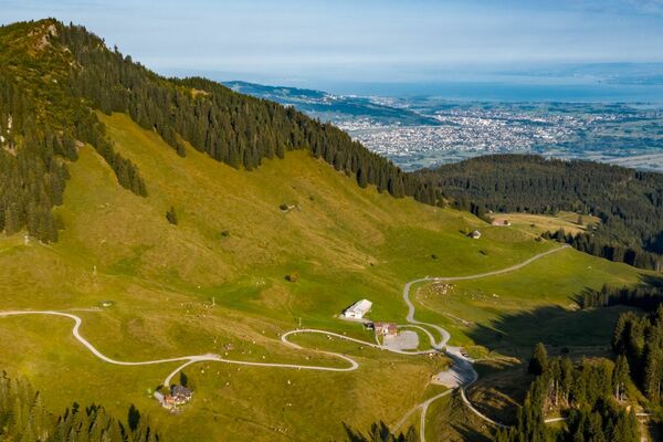
This tour commences with an ascent to the Schnepfegg from where it continues down the other side of the mountain to Bizau. It then follows the freight trail above Bizau to Bezau. From Mellau, the route carries on back to Schnepfau through the beautifully situated Engevorsäß alpine settlement.
- Directions
-
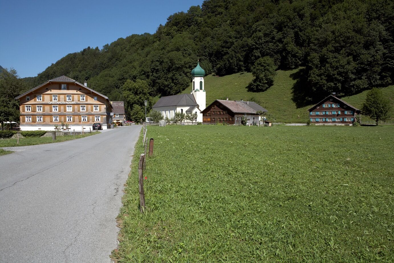
From Schnepfau (734 m), cycle up the road to the Schnepfegg (880 m): from there, cycle back downhill towards Bizau. Once you have arried in Bizau-Oberdorf (695 m), turn off on to the road which heads towards Schönenbach. Follow this road until you reach the turn-off at the Langenalpe (820 m). From there, an agricultural path gently takes you upwards to Hilkat (860 m), a part of the village located above Bizau with a stunning view. Through the Rimsgrund, the path follows the Rimsbach as far as Bezau (650 m). Now take the road through the village as far as Ellenbogen. There, you cross the Bregenzerach and join the Bregenzerwald cycle path. Follow it via Mellau back to Schnepfau.
- Highest point
- 894 m
- Endpoint
-
Schnepfau town hall
- Height profile
-

- Safety instructions
-
- Responsible cycling at controlled speeds where the view is obstructed particularly in bends because obstacles must be anticipated at all times: stones, branches, road damage, temporarily stored wood, grazing livestock, cattle gates, barriers, vehicles and forestry machinery, road closures, etc. - Hikers and pedestrians have the right of way. Considerate overtaking takes place at a walking pace. - Agricultural and forestry management has the right of way on the open paths. Cattle gates must be closed again, temporary road closures must be observed.- Do not leave the designated, signposted routes. That protects nature and wildlife habitats.- Good tour planning takes the difficulty of the route and your own abilities into account. That also includes helmet, protective equipment and a bike that is in perfect working order.
- Tips
-
Refreshment possibilities: Schnepfegg (Berghaus Kanisfluh), Bezau, Mellau
- Author
-
The tour Schnepfau | Around the Gopf is used by outdooractive.com provided.


General info
-
St. Gallen - Bodensee
152
-
Bregenzerwald
224
-
Bizau
98