Damüls | Rundtour Oberdamüls

Logo Damüls | Rundtour Oberdamüls
Tour data
10.05km
1,367 - 1,684m
Distance
315hm
318hm
Ascent
01:30h
 
Duration
Brief description

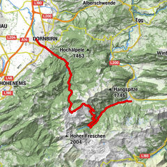
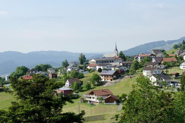
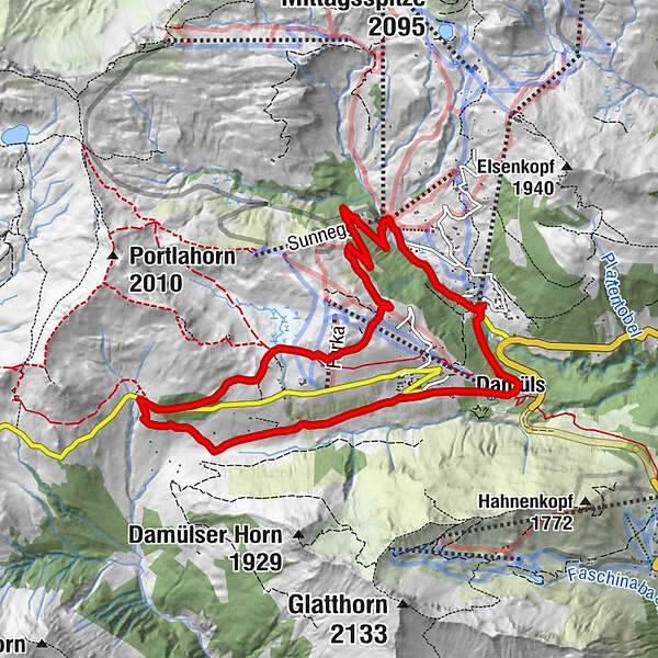
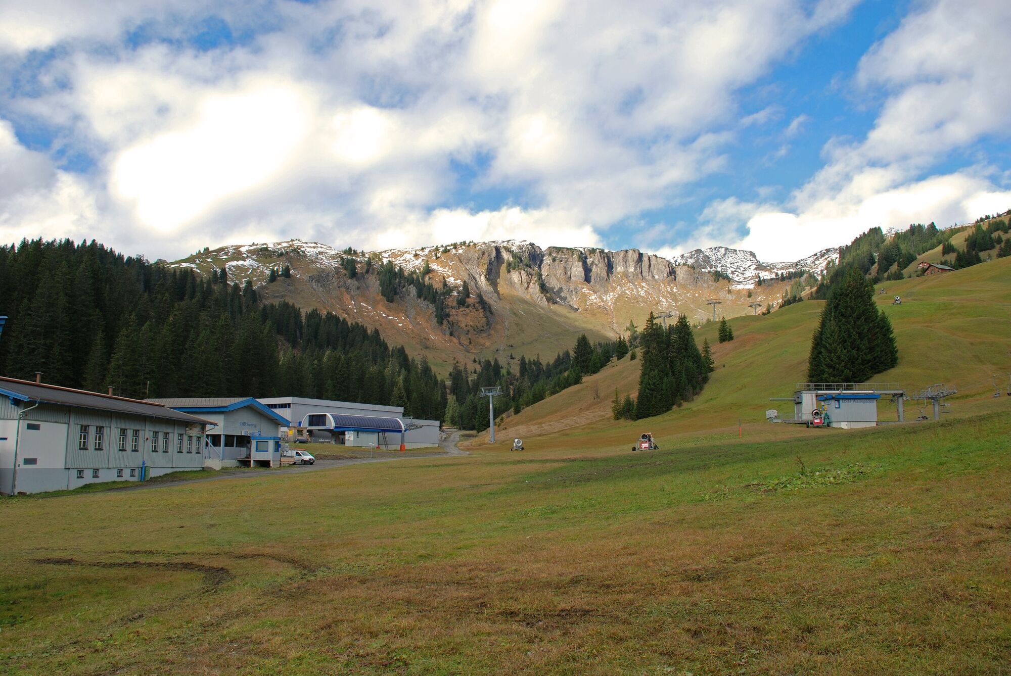
Talstation Uga-Express – Kirchdorf - Unterdamüls - Alpe Oberdamüls - Talstation Sunnegg - Talstation Uga-Express

Difficulty
medium
Rating
Technique
Fitness
Landscape
Experience
Route
Damüls (1,423 m)
0.9 km
Hotel Alpengasthof Jägerstüble
4.4 km
Stofel
5.5 km
Alpe Oberdamüls
5.7 km
Furka
6.0 km
Sunnegg
6.5 km

Best season
Jan
Feb
Mar
Apr
May
Jun
Jul
Aug
Sep
Oct
Nov
Dec
Highest point
1,684 m
Endpoint

Talstation Uga-Express

Height profile

Author
The tour Damüls | Rundtour Oberdamüls is used by outdooractive.com provided.

Overall rating

5

0

%

4

0

%

3

0

%

2

0

%

1

0

%

Error
An error has occurred. Please try again.
Thank you for your review

Rating has been deleted

GPS Downloads
  • GPX GPS Exchange Format (XML)
  • KML Google Earth, Google Maps
QR Download Codes for Mobile Phones

General info

Refreshment stop
A lot of view
Other tours in the regions

Popular tours in the area

Spullersee mountainbike round

medium Mountainbike
51.23km | 1422hm | 07:20h

Dornbirn - Unterfluhalpe - Obermörzelalpe - Mellau

difficult Mountainbike
28.76km | 1290hm | 03:30h

Stuben - Lech - Zugertal - Formarinsee - Steinbockweg - Dalaas - St...

difficult Mountainbike
48.28km | 1270hm | 06:30h

Gulmtour

difficult Mountainbike
36.07km | 1360hm | 06:00h