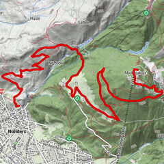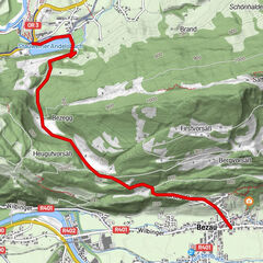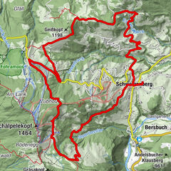
Tour data
28.76km
417
- 1,668m
1,290hm
1,037hm
03:30h

- Brief description
-
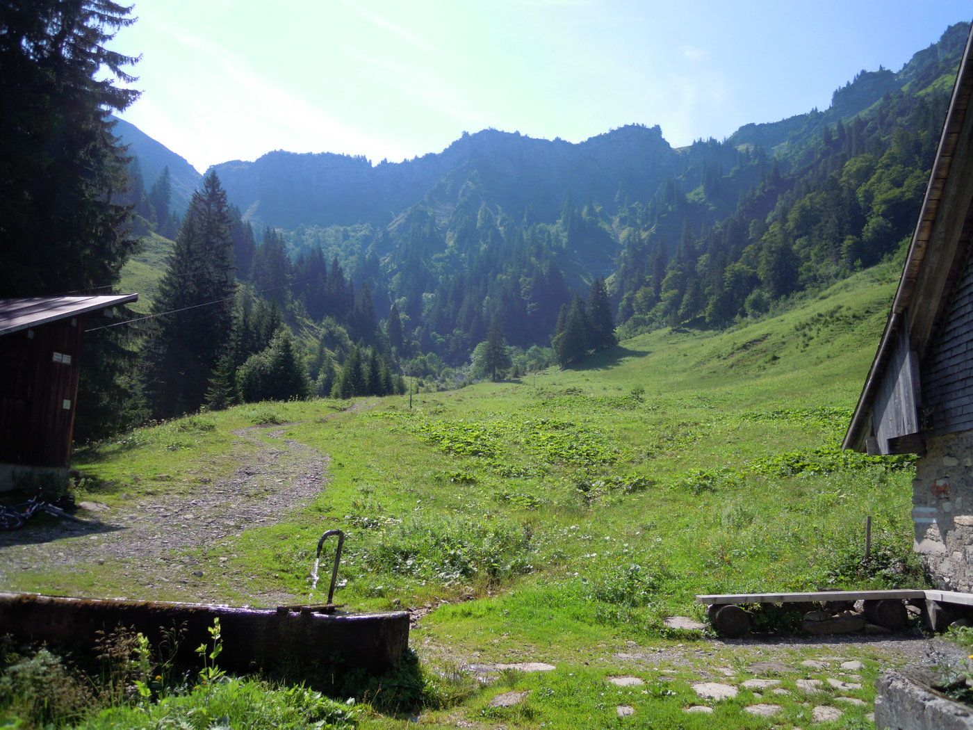
Mountainbikeroute von Dornbirn Richtung Mörzelspitze, über den Grat ins Mellental
- Difficulty
-
difficult
- Rating
-
- Starting point
-
Dornbirn
- Route
-
Dornbirn (437 m)1.1 kmGütle4.6 kmOswald21.1 kmDös26.5 kmBengath27.2 kmUnterrain28.0 kmMellau28.4 kmOberfeld28.5 kmKapelle Oberfeld28.5 km
- Best season
-
JanFebMarAprMayJunJulAugSepOctNovDec
- Highest point
- 1,668 m
- Endpoint
-
Mellau
- Rest/Retreat
-
s'Bärle in Mellau
GPS Downloads


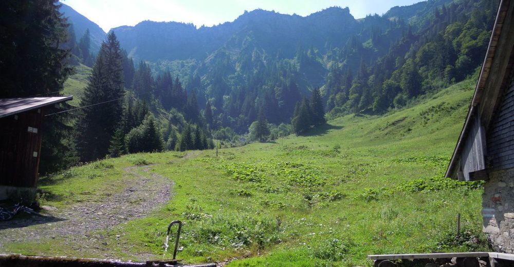
Surfaces
Asphalt
(10%)
Gravel
(90%)
Forest
Mountain paths
Single trails
Trial
Traffic
Other tours in the regions