
- Brief description
-
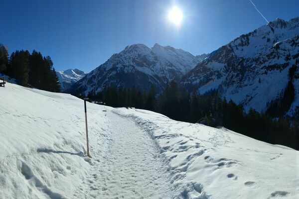
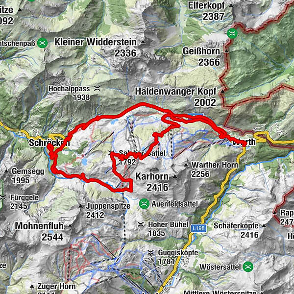
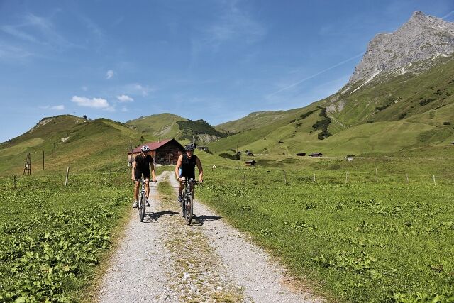
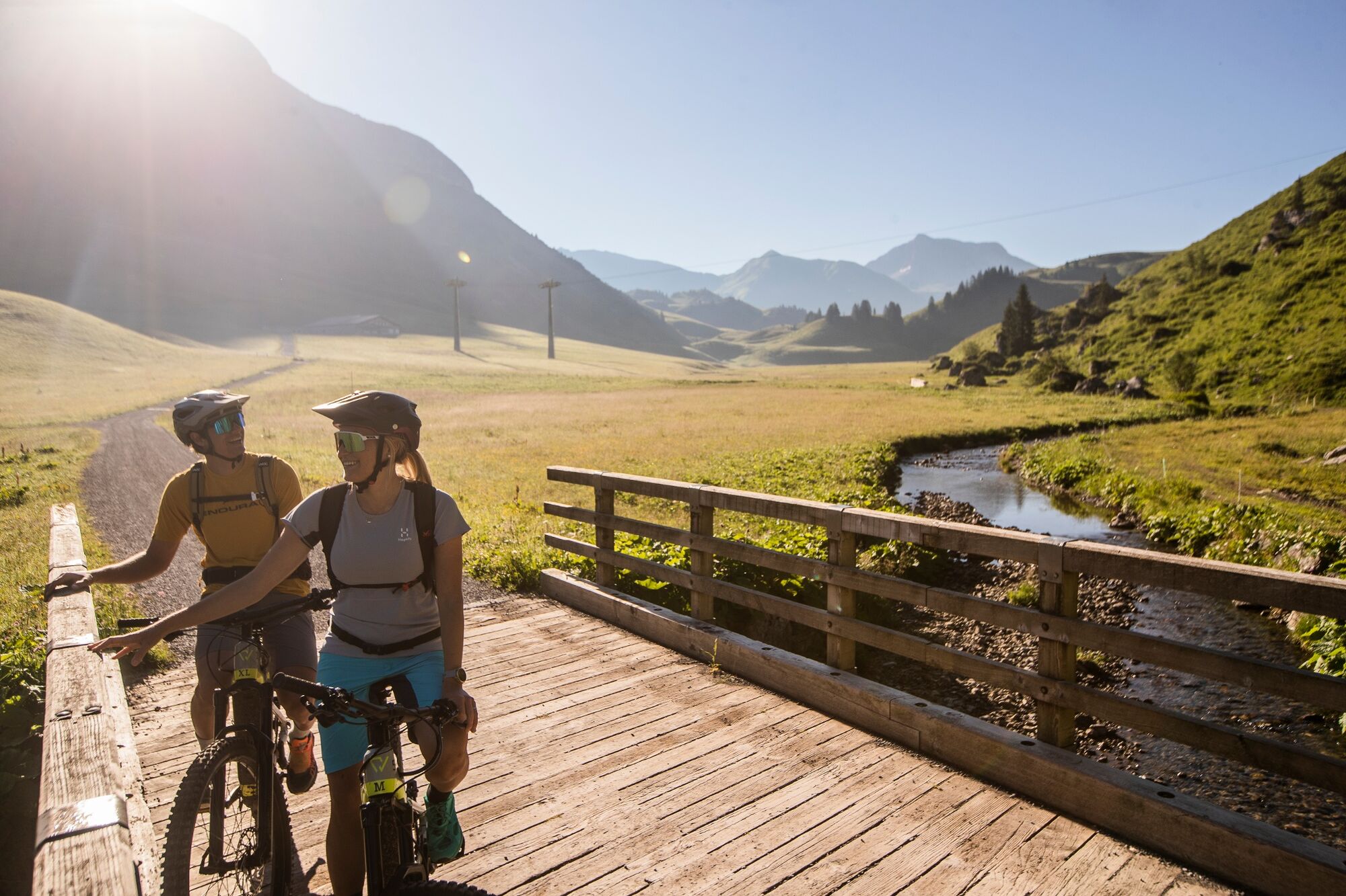
In Warth at the village square you start in the direction of plot Wolfegg, from where you get on the way steeply up to the junction Alte Salzstraße. Via the Alte Salzstraße, a somewhat narrow path, you reach the Jägeralpe. Now you should regain all your strength again, because from here it goes steadily upwards to the Hochalphütte. Just take a little break in the Hochalphütte, before you master the last stretch up to the Saloberkopf. Up here you should get off your mountain bike for a short while and look at the infinite expanse, because now you have arrived at the highest point of your tour. From here, the path leads you down to the Salobersattel and further towards Auenfeld. The Auenfelder hut in the middle of this lush green floodplain invites you to linger and maybe there is just a fresh apple strudel? Strengthened we continue on the wide path past the Alpe Batzen to the Alpmuseum Uf'm Tannberg. A short stop in the museum is really worthwhile, because there you can see the old craftsmanship of the mountain farmers. This path continues to the village of Schröcken, from where it goes up again on the old federal road into the plot Nesslegg. From here it continues up the main road to the Hochtannbergpass and then downhill back to the village of Warth.
The tour can of course also be started from Schröcken.
- Difficulty
-
medium
- Rating
-
- Starting point
-
Village square Warth/Village square Schröcken
- Route
-
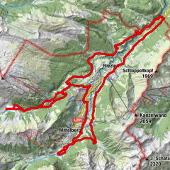
Warth (1,495 m)0.0 kmPfarrkirche St. Sebastian0.3 kmKitzeliftle0.6 kmWolfegg1.4 kmHolzbodenalpe2.7 kmJägeralpe3.6 kmSennkuchl3.6 kmHochkrumbach3.9 kmHochalpbahn6.0 kmHochalphütte6.3 kmSaloberkopf7.1 kmHochalpbahn7.2 kmSalober-Jet7.3 kmSonnencruiser7.7 kmSalober-Sattel (1,792 m)8.9 kmAuenfelder Hütte9.8 kmObere Auenfeld Alpe (1,732 m)10.3 kmTannberg16.3 kmSchröcken (1,269 m)16.3 kmMaterialseilbahn Körbersee16.8 kmHolzschopf19.2 kmNesslegg19.2 kmHochkrumbach22.8 kmKitzeliftle26.3 kmPfarrkirche St. Sebastian26.6 kmWarth (1,495 m)26.9 km
- Best season
-
JanFebMarAprMayJunJulAugSepOctNovDec
- Description
-
Touring.
Warth village square - Plot Wolfegg - Alte Salzstraße - Jägeralpe - Hochalpe - Saloberkopf - Salobersattel - Auenfeld - Alpe Batzen - Alpmuseum uf'm Tannberg - Village square Schröcken - Plot Neßlegg - Hochtannbergpass - Warth village square
- Directions
-
Touring.
Warth village square - Plot Wolfegg - Alte Salzstraße - Jägeralpe - Hochalpe - Saloberkopf - Salobersattel - Auenfeld - Alpe Batzen - Alpmuseum uf'm Tannberg - Village square Schröcken - Plot Neßlegg - Hochtannbergpass - Warth village square
- Highest point
- 2,034 m
- Endpoint
-
Village square Warth/Village square Schröcken
- Height profile
-

- Equipment
-
This should never be missing on the mountain.
Backpack, First-Aid Set incl. Bladder plaster, telephone with emergency number, cash, drinking bottle, pocket knife, provisions, sun protection in good weather.
- Safety instructions
-
Emergency numbers.
140 - Alpine emergencies throughout Austria
144 - Alpine emergencies in Vorarlberg
112 - Euro emergency call
- Additional information
- Directions
- Public transportation
- Parking

- Author
-
The tour Warth-Schröcken mountainbike round is used by outdooractive.com provided.