
- Brief description
-
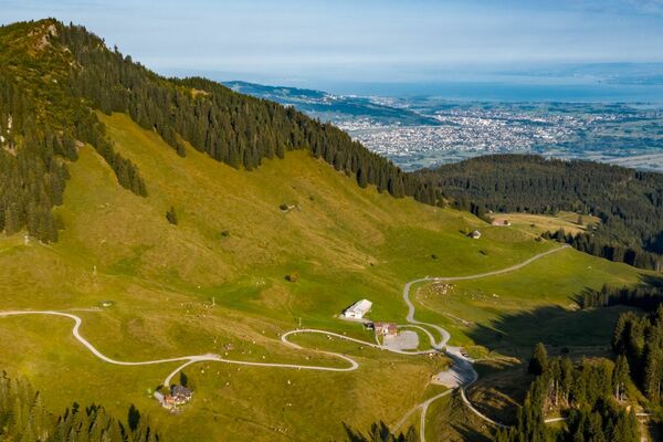
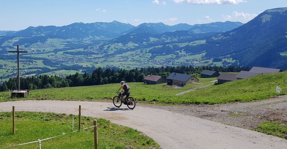
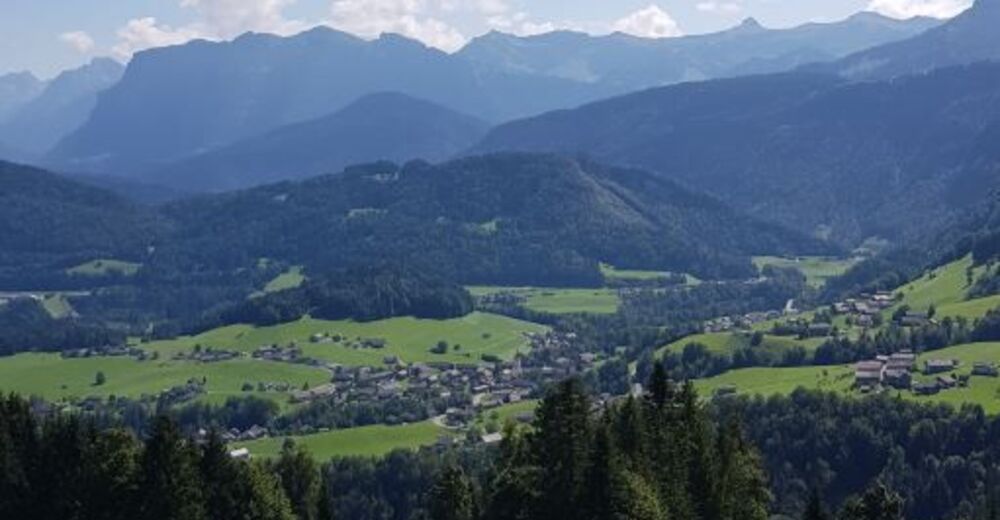
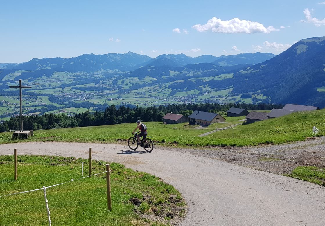
This cycle tour offers you the chance to lap Schwarzenberg’s very own mountain, the Hochälpele. On top of that, you can enjoy the breath-taking view towards the Bregenzerwald, and get a panoramic view of the lovely Rhine Valley.
- Difficulty
-
medium
- Rating
-
- Starting point
-
Villag square Schwarzenberg
- Route
-
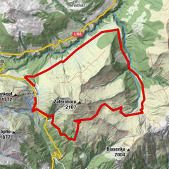
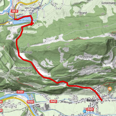
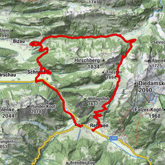
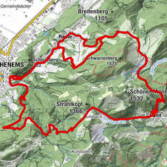
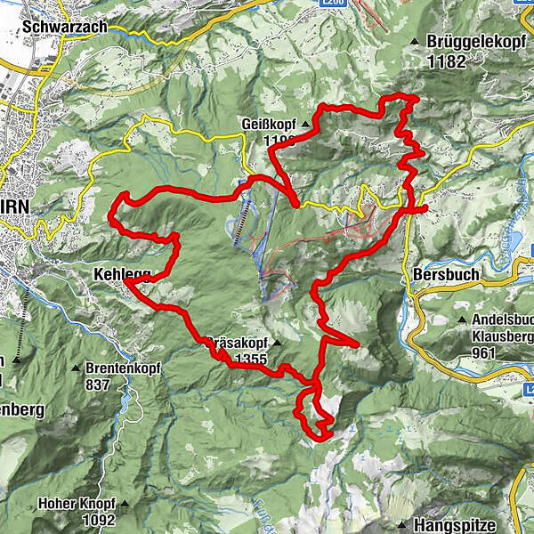
Pfarrkirche Schwarzenberg - Heiligste Dreifaltigkeit0.1 kmAdler0.1 kmHotel Gasthof Hirschen Schwarzenberg0.2 kmSchwarzenberg (696 m)0.3 kmKapelle Hl. Theresia2.3 kmJakob Bader Maurer Kapelle (1657)2.7 kmEixer8.4 kmWeißtanne9.4 kmBödele10.1 kmDornbirn (437 m)13.5 kmSchwendealpe13.7 kmSchauner14.3 kmPfidajona16.2 kmPfidajonaköpfle16.3 kmKehlegg (794 m)17.0 kmGsth. Firstblick17.0 kmWeißenfluh (1,367 m)25.4 kmAlpe Weißenfluh (1,368 m)25.5 kmBregenzer Hütte26.5 kmVorsäß Klausberg29.0 kmHotel Gasthof Hirschen Schwarzenberg32.7 kmSchwarzenberg (696 m)32.7 kmAdler32.7 kmPfarrkirche Schwarzenberg - Heiligste Dreifaltigkeit32.7 km
- Best season
-
JanFebMarAprMayJunJulAugSepOctNovDec
- Description
-
If you decide on taking this route, please note that you have a demanding tour ahead of you – the magical views you are rewarded with definitely make it worthwhile. In around 7 hours, you have an elevation gain of over 1,500 metres to overcome, making this tour unsuitable for beginners.
The tour starts in the village center of Schwarzenberg and passes during the constant ascent the Lorenapass, the Bergvorsäß and the Geißkopf area. Then follow the B road towards Bödele, just before the top of the pass, a sharp left-hand bend branches off the main road on to a gravel path towards the Meierei inn. Then you reach the idyllically located Schwendealpe and the path goes along brightly coloured fields downhill to Dornbirn's Schauner region and, shortly after, to Kehlegg. Over the next 9 km you ride uphill again and reach the Weißenfluhalpe where you can stopp off for a refreshing drink. The ride goes past the Bregenzer Hütte, across the Rotenbachalpe, through the Klausberg alpine pasture back to Schwarzenberg, where you can proudly reflect on a productive, successful day's cycling.
- Directions
-
During the constant ascent of the first 5 km, you will pass through the parts of the town known as Hof, Freien, Ratzen, Maien as far as the Lorenapass. Just before you reach the Lorenapass, take the left turn-off towards Bergvorsäß. Staying on the cycling path, continue past the Geißkopf and then downwards towards Oberer Geißkopf. The next
3 km offer a brief breather, since it constantly goes downwards towards Eixer and you can admire the lovely view. The next part of the route follows the B road towards Bödele. Just before the top of the pass, a sharp left-hand bend branches off the main road on to a gravel path towards the Meierei inn. The next destination on the cycle tour is the idyllically located Schwendealpe which you reach via a refreshing forest hiking path. At the Schwendealpe, the path goes along brightly coloured fields downhill to Dornbirn’s Schauner region and, shortly after, to Kehlegg. This relaxing descent is followed by probably the most strenuous part of the route. Over the next 9 km, you ride uphill with an elevation gain of 500 metres in order to reach the beautiful Weißenfluhalpe. Reward your athletic achievement with a shandy or a thirst-quenching fizzy drink before the fast-paced downhill ride to Schwarzenberg. The ride goes past the Bregenzer Hütte, across the Rotenbachalpe, through the Klausberg alpine pasture, to Schwarzenberg, where you can proudly reflect on a productive, successful day’s cycling.
- Highest point
- 1,366 m
- Endpoint
-
Villag square Schwarzenberg
- Height profile
-

- Safety instructions

- Author
-
The tour Schwarzenberg | Bödele - Kehlegg - Weißenfluhalpe is used by outdooractive.com provided.