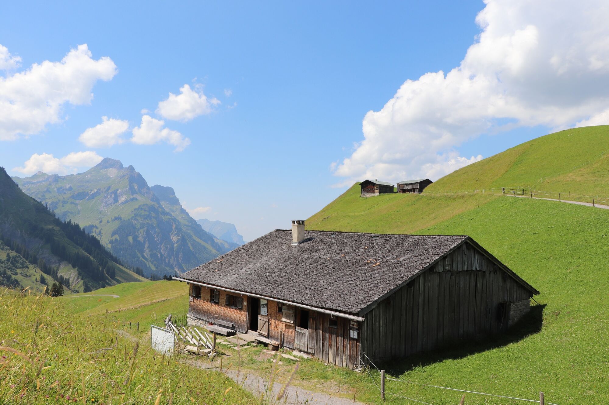
© KäseStrasse Bregenzerwald - Siegfried Hollaus

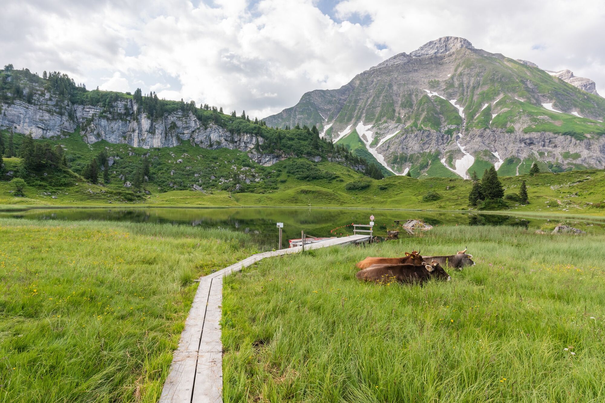
© Warth-Schröcken Tourismus - Ratko Medienagentur

- Brief description
-
Difference in altitude: 650 m
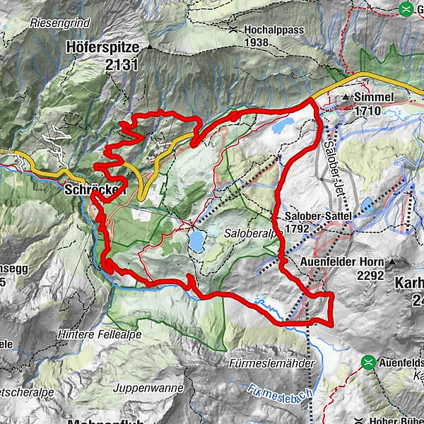
Schröcken - Batzenalpe - Untere Auenfeldalpe - Salobersattel - Hochtannbergpass - Neßlegg - Jochalpe - Schlößle - Schröcken - Difficulty
-
medium
- Rating
-
- Starting point
-
Schröcken centre of town
- Route
-
TannbergSchröcken (1,269 m)0.0 kmMaterialseilbahn Körbersee0.1 kmAuenfelder Hütte6.1 kmSalober-Sattel (1,792 m)6.9 kmS18.4 kmSB-Restaurant Salober8.4 kmAlpekörb8.7 kmTannberg14.9 kmSchröcken (1,269 m)15.0 km
- Best season
-
JanFebMarAprMayJunJulAugSepOctNovDec
- Description
-
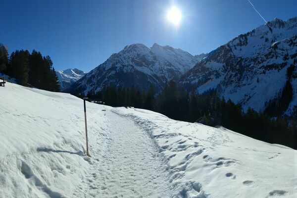
This alpine yet leisurely tour is also suitable for beginners. First of all you take a forest path up to Batzenalpe and past the “uf m Tannberg” alpine museum. You now cross the romantic Auenfeld, where the Bregenzerache has its source. The stretch across the Salobersattel as far as the Hochtannbergpass is somewhat more arduous. Past picturesque Kalbelesee, you take the B road as far as Nesslegg where, following an ascent, you arrive at the hamlet of “Schlössle”. From here, you descend to the Schmitte plot and back into the centre of the village.
- Highest point
- 1,793 m
- Endpoint
-
Schröcken centre of town
- Height profile
-

- Safety instructions
- Tips
-
Chances to stop off for a drink/food:
Batzenalpe (opened from mid June to mid September), Untere Auenfeldalpe, Aufenfeld Hut, inns in Schröcken - Additional information
-
Tip: mountain bike map
Detailed descriptions of 15 recommended tours for beginners, the advanced and professionals are enclosed in the mountain bike map of Bregenzerwald (available from Bregenzerwald Tourismus, in the tourist information offices and in some sports shops.) - Directions
-
From Munich (Germany): A95 - Oberau - Ettal - Linderhof - Grenze Ammerwald - Plansee - Reutte - Warth - Schröcken
From Zurich/Basel (Switzerland): N3/N1 - St. Margarethen - Au - Lustenau - Dornbirn - Bödele - Bezau - Schröcken
From Stuttgart (Germany): A7/A96 - Lindau - Lochau - Bregenz - Bregenzerwald - Egg - Bezau - Schröcken - Parking
-
centre of town
- Author
-
The tour Schröcken | Tannberg Tour is used by outdooractive.com provided.
GPS Downloads


General info
Refreshment stop
Flora
A lot of view
Other tours in the regions