- Brief description
-
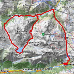
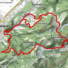
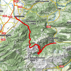
Au - Argenvorsäß - Vorderkriegbödenalpe - Bödmenalpen - Damüls - Ugaalpe - Mittelargenalpe - Argenwaldalpe - Au
- Difficulty
-
difficult
- Rating
-
- Starting point
-
Tourist Office Au
- Route
-
Lisse0.4 kmAu (800 m)0.5 kmArgenzipfel1.2 kmHintere Bödmenalpe11.8 kmDamüls (1,423 m)14.3 kmPizzeria da Ingo15.2 kmVordere Ugaalpe19.3 kmArgenzipfel31.7 kmLisse32.4 kmAu (800 m)32.5 km
- Best season
-
JanFebMarAprMayJunJulAugSepOctNovDec
- Description
-
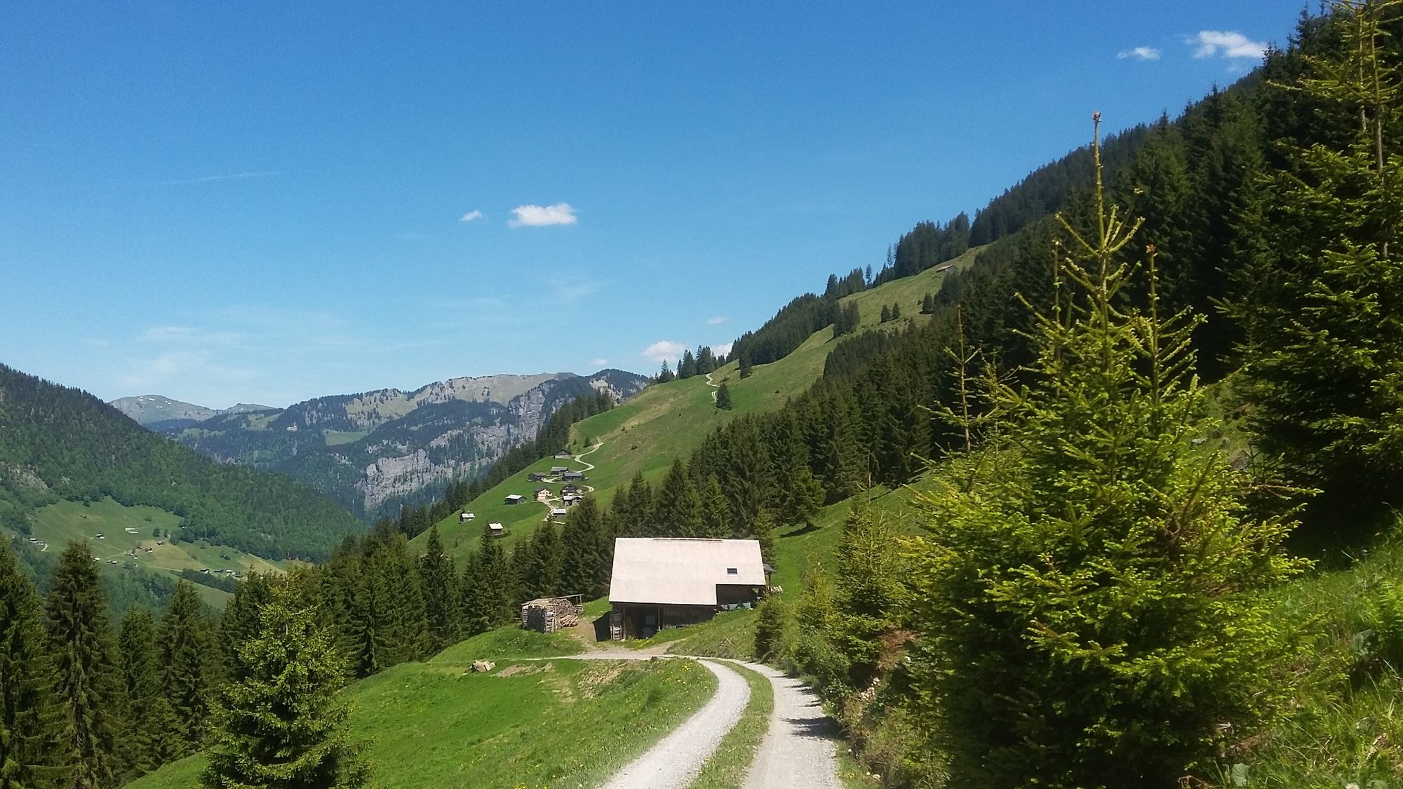
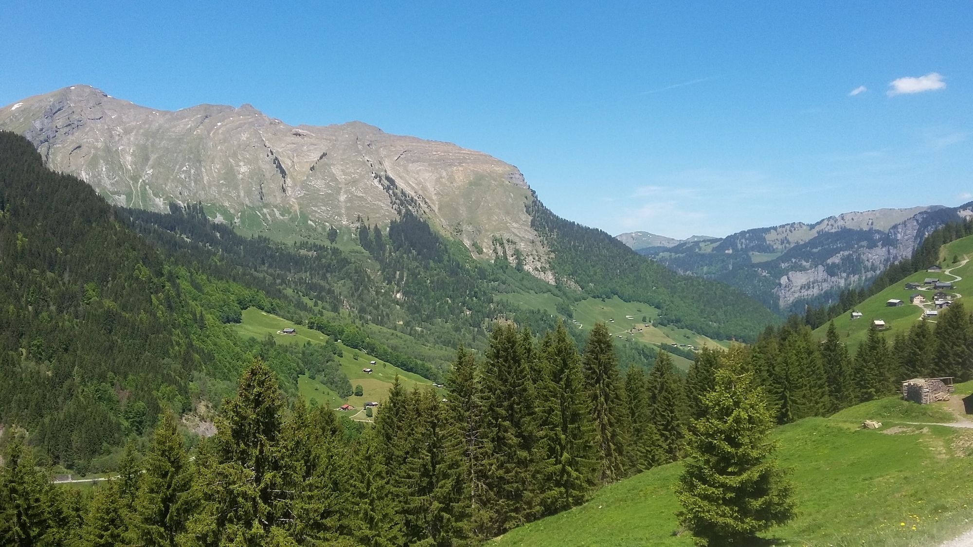
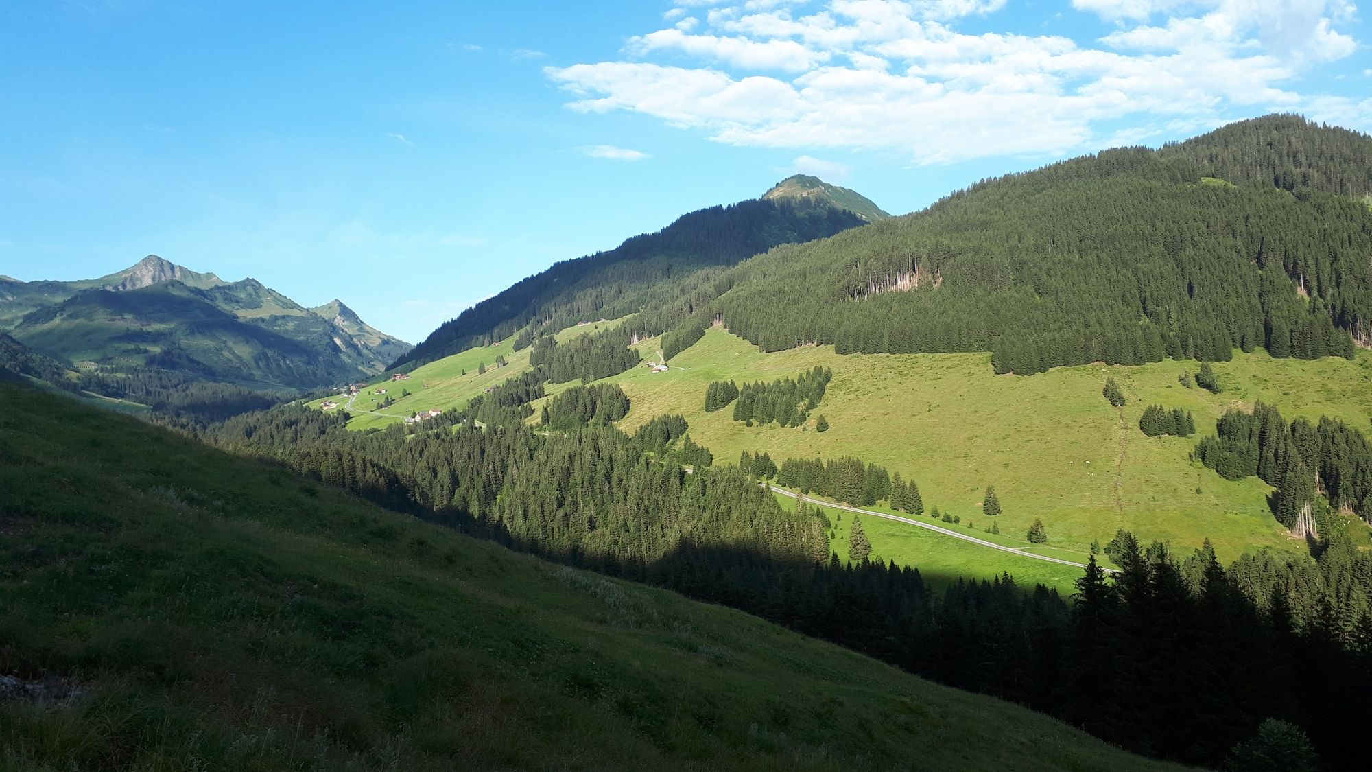
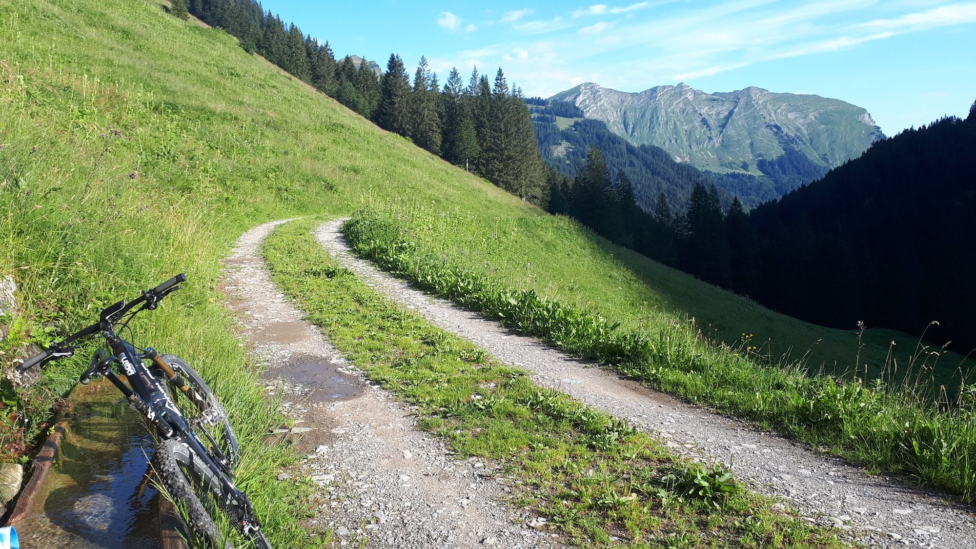
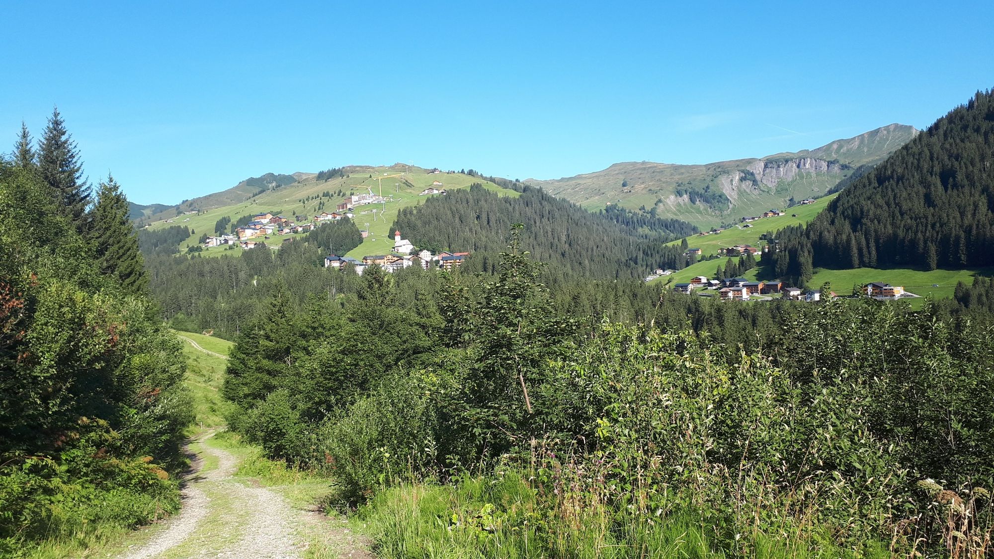
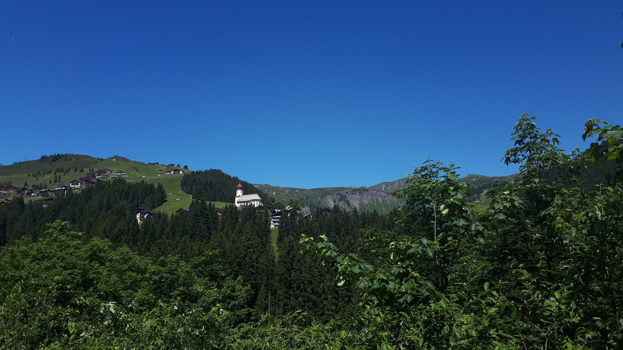
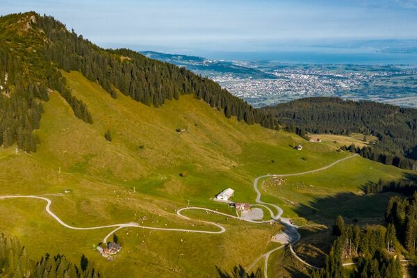
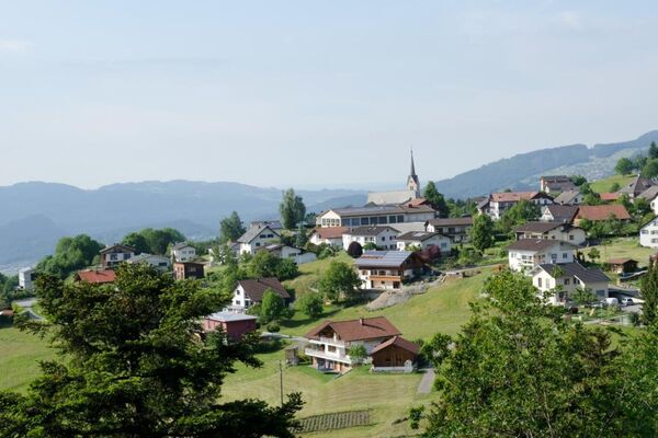
This tour for experienced cyclists commences with a steep ascent above the Argenschlucht as far as the Argenvorsäß. The Argenschlucht is one of the loveliest gorges in Vorarlberg, with its interesting rock formations and impressive gorge faces between 80 and 100 m high. Opposite, you can see the Auer Ried, a nature reserve and home to over 50 endangered species of plant. The tour takes you via lovely alpine paths uphill as far as Vorderkriegbödenalpe and on to Damüls. Via a mountain road and, later, an alpine path, you continue upwards to Ugaalpe. From here, you have a magnificent view of Damülser Mittagsspitze. A steep descent takes you to a stream crossing. Following a gentle ascent, you arrive at Mittelargenalpe. You now return to the valley and cycle to Au (by road from Argenwald).
- Directions
-
Advanced tour
Mountain bike beginner, usually traffic-free, most unpaved paths, challenging short sections - Highest point
- 1,791 m
- Endpoint
-
Tourist Office Au
- Height profile
-

- Safety instructions
-
Emergency call:
140 Alpine emergencies Austria
144 Alpine emergencies Vorarlberg
112 Euro- emergency call (works with any mobile network) - Tips
-
If you have enough power we recommend you to go by foot to the summit Kanisfluh (2.044m). About 1 3/4 hours walktime up and down.
- Directions
-
From Germany:
Autobahn Lindau, Pfänder Tunnel, Autobahnabfahrt Dornbirn Nord - Bregenzerwald - Egg - Mellau - Au
Autobahn Kempten - Immenstadt - Oberstaufen - Grenzübergang Springen-Aach - Lingenau - Egg - Au (mautfrei)
Garmisch-Partenkirchen oder Füssen - Reutte (Tirol) - Lechtal - Warth - Au (mautfrei)From Switzerland:
Autobahn St. Gallen - St. Margrethen/Au - Lustenau - Dornbirn - Bregenzerwald - Egg - Mellau - AuFrom Austria:
Inntal-Autobahn - Innsbruck - St. Anton - Arlbergpaß - Lech - Warth (bei Wintersperre Arlbergtunnel - Dornbirn - Egg - Mellau) - Au - Public transportation
- Parking
-
Public parking at the Tourist Office Au


-

-
AuthorThe tour Au-Schoppernau | Damüls Tour is used by outdooractive.com provided.


 Lech Zuers Tourismus by Hanno Mackowitz")