


- Brief description
-
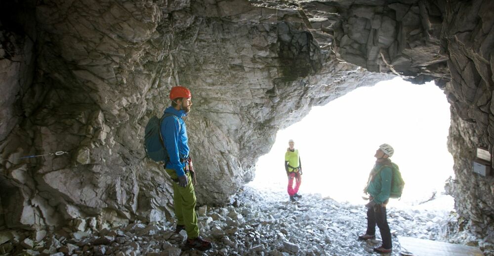
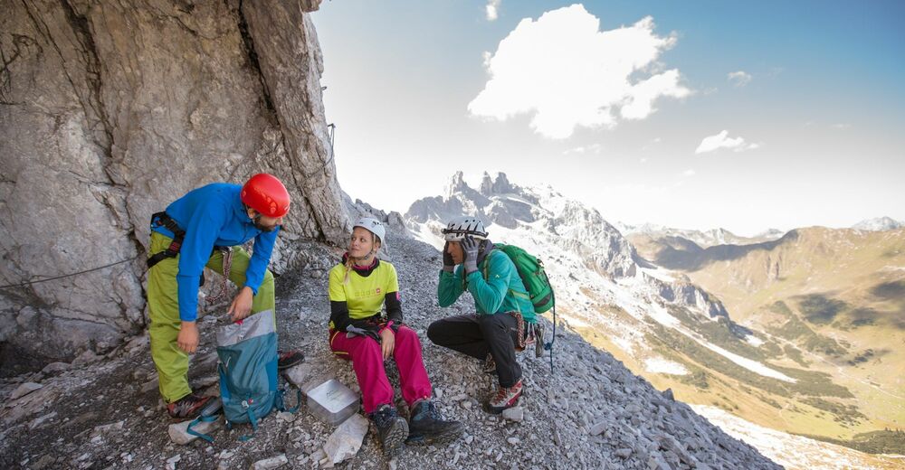
Ein absolut besonderes Klettersteigerlebnis mit einer spektakulären, natürlichen Höhle als Höhepunkt – der Blick vom Höhlenausgang ins Gauertal ist unvergesslich!
- Difficulty
-
mediumDifficulty level C
- Rating
-
- Starting point
-
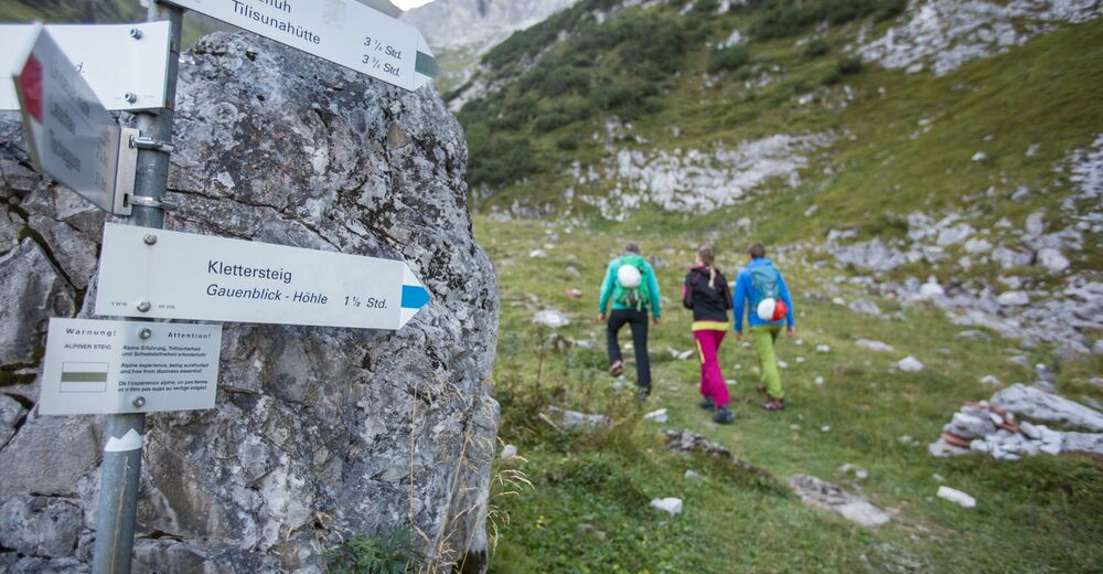
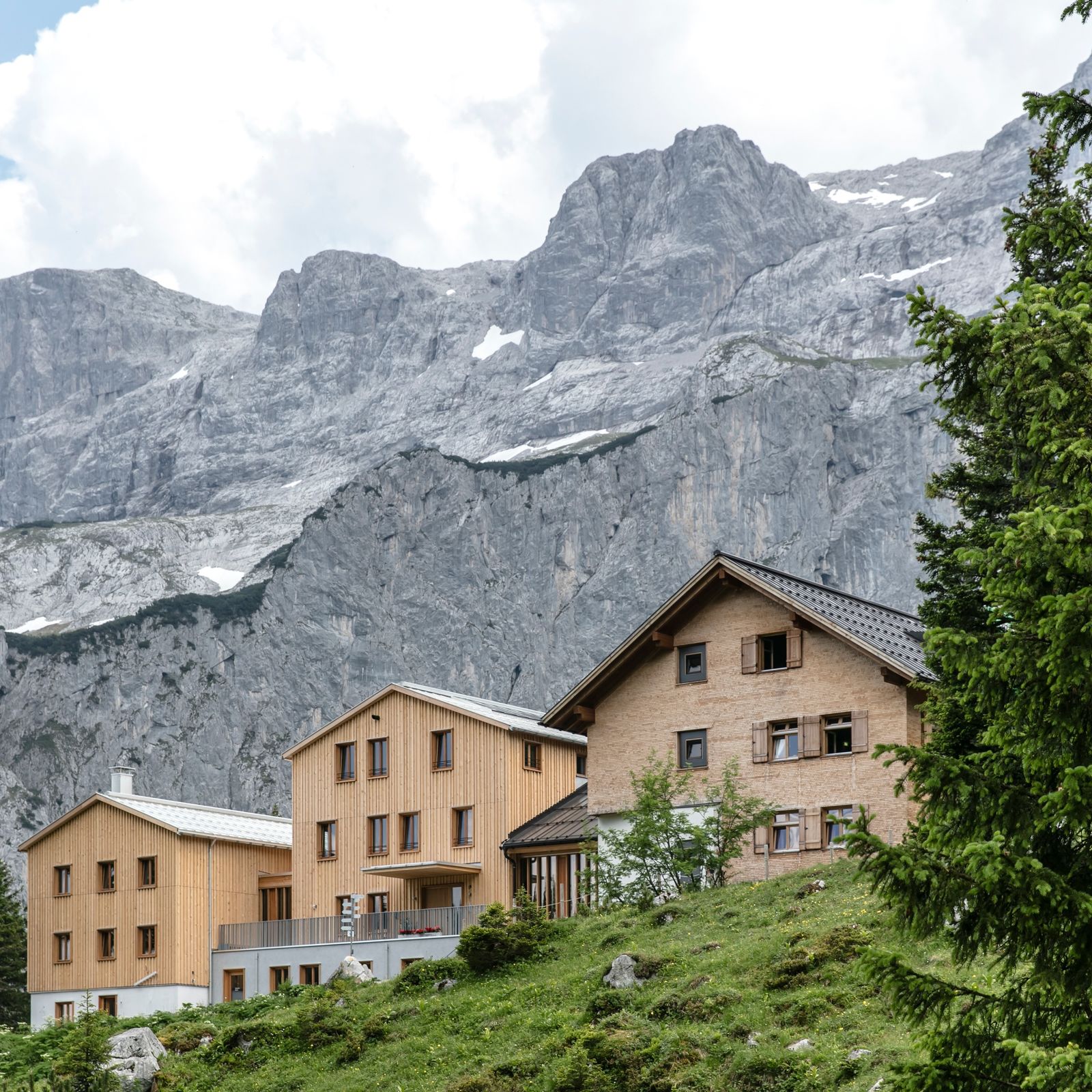
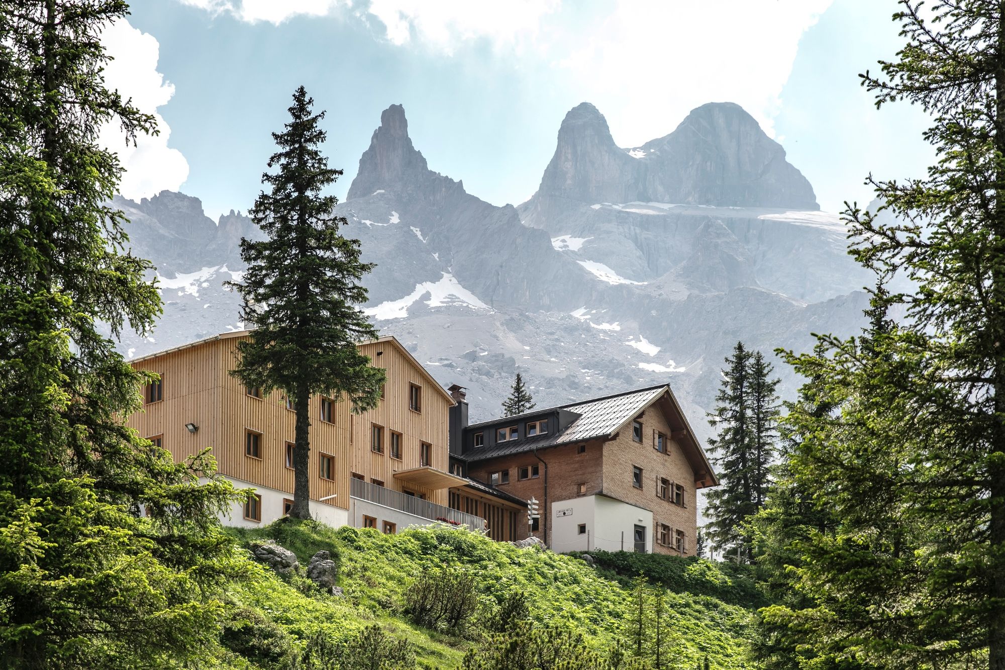
Lindauer Hütte
- Route
-
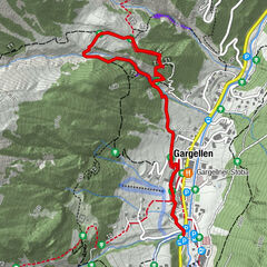
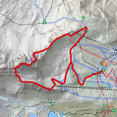
Lindauer Hütte0.0 kmTramosa1.3 kmGauablickhöhle3.6 kmTramosa6.7 kmLindauer Hütte8.1 km
- Best season
-
JanFebMarAprMayJunJulAugSepOctNovDec
- Description
-
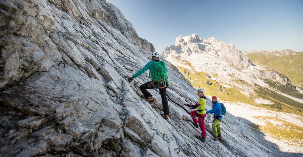
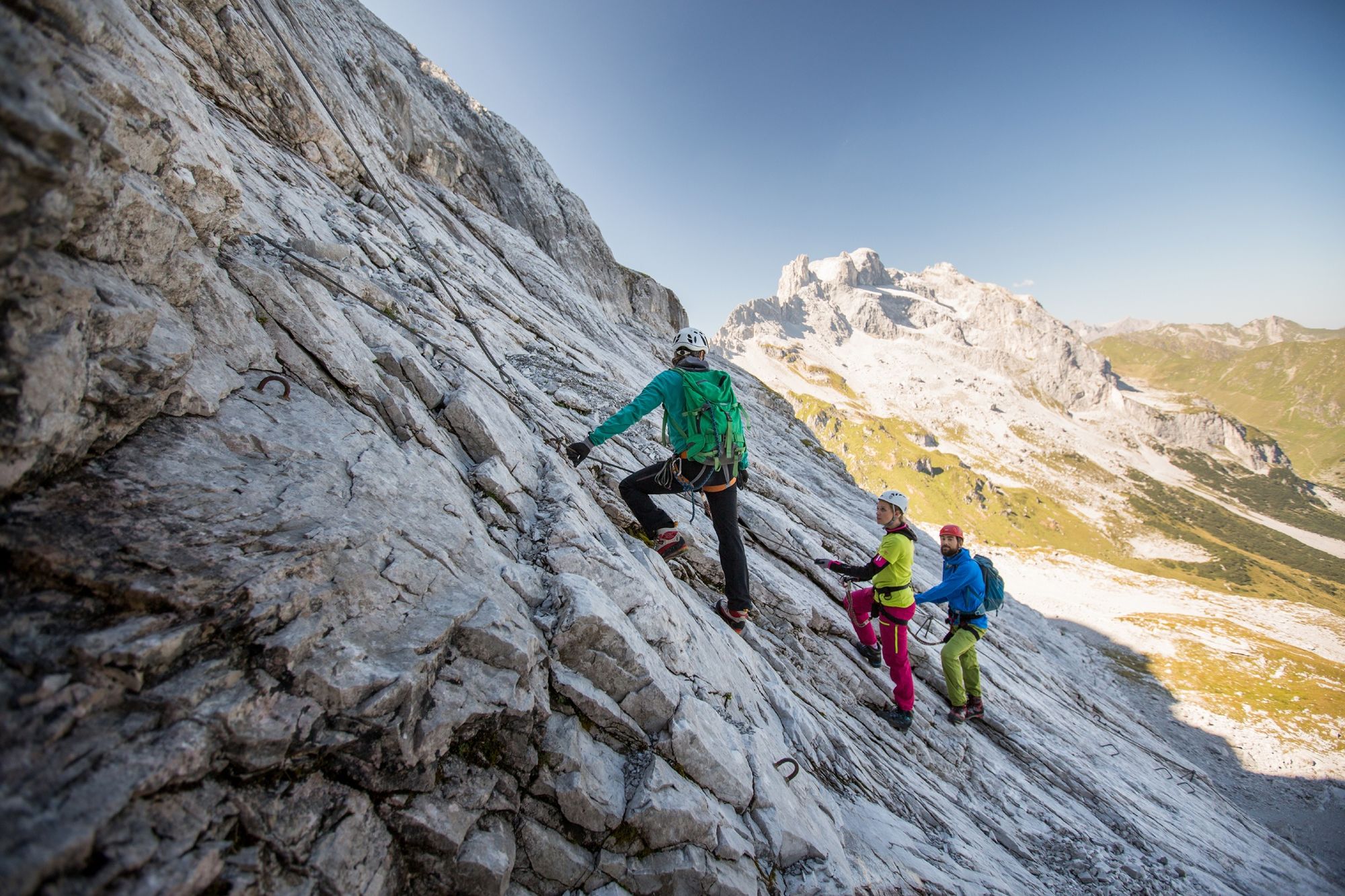
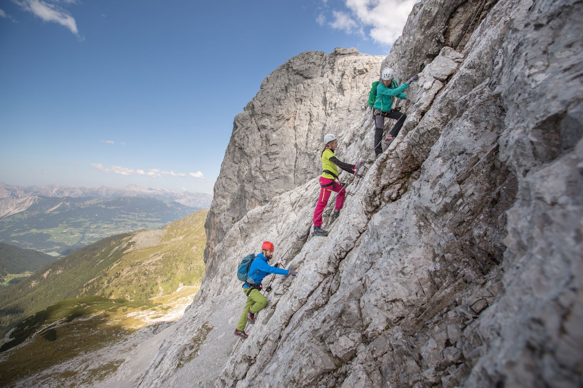
Difficulty: In one place C, otherwise mostly B/C. In the cave briefly A/B, the rest can be walked
- Directions
-
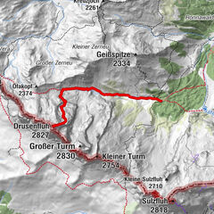
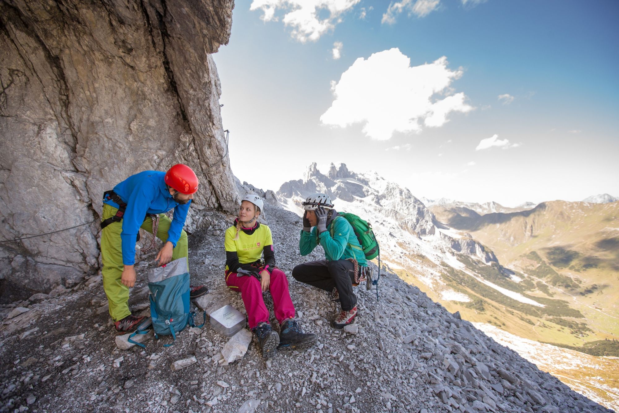
The route was erected in summer of 2006. Beautiful, moderately difficult via ferrata on the north side of the Sulzfluh. The highlight is the approx. 350 m long Gauablickhöhle cave through which the via ferrata passes, allowing you to become a spelunker for a short time. The route was erected in summer of 2006 and can be easily combined with the south-side Sulzfluh via ferrata over a weekend. From the end point, follow the climbing marks to the signs (about 100 m), then go either toward Rachen (Lindauer chalet) or Tilisuna chalet; summiting the Sulzfluh takes about 1 hour (370 vertical metres)
- Highest point
- 2,466 m
- Endpoint
-
Lindauer Hütte
- Exposition
- Height profile
-

- Equipment
-
Via Ferrata set , helmet, waist belt , gloves , solid ankle-high hiking boots and absolutely a headlamp
- Safety instructions
- Directions
-
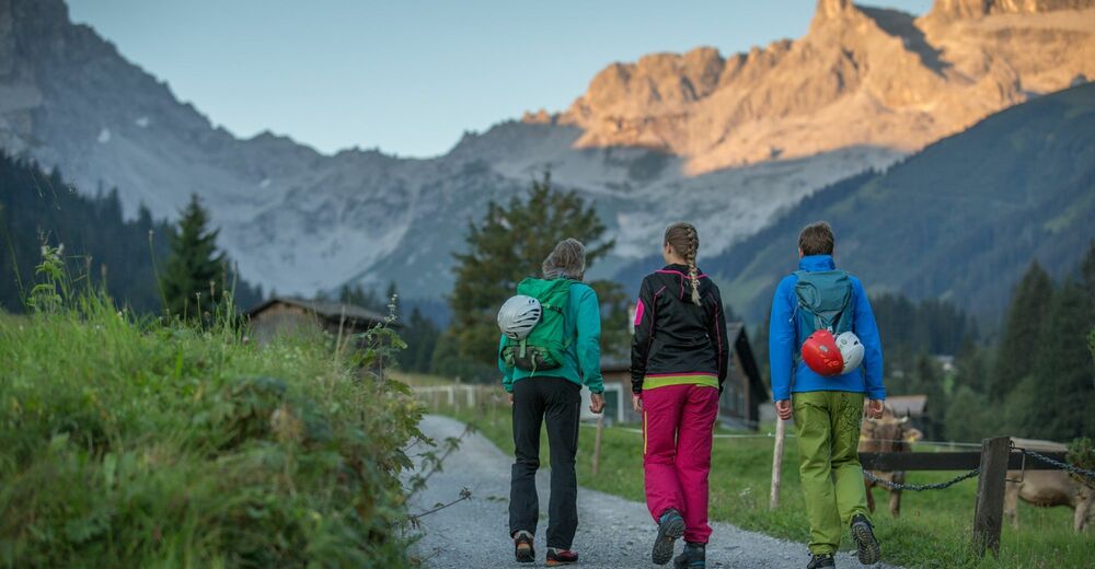
From Lünerseewerk/Latschau toward Gauertal/Lindauer chalet; from Lindauer chalet, the starting point can be reached in 1.5 hours.


-

-
AuthorThe tour via ferrata Gauablickhöhle - Sulzfluh is used by outdooractive.com provided.


General info
-
Montafon
34
-
Golm im Montafon
13