© Montafon - Stefan Kothner

© Montafon - Andreas Haller

© Montafon - Niclas Bösch
© Montafon - Christina Wachter

© Montafon Tourismus GmbH_(c)_Daniel Zangerl - Christina Wachter

© Montafon Tourismus GmbH // Andreas Haller
© Montafon - Christina Wachter
© Montafon - Niclas Bösch

© Montafon - Niclas Bösch

© Montafon - Niclas Bösch


- Brief description
-
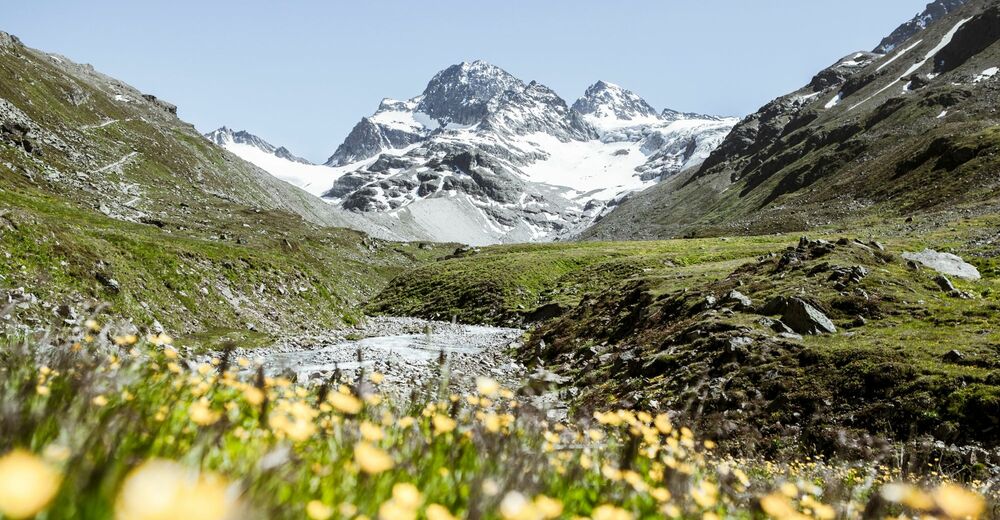
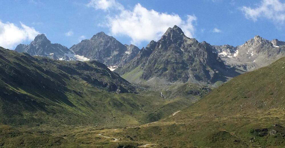
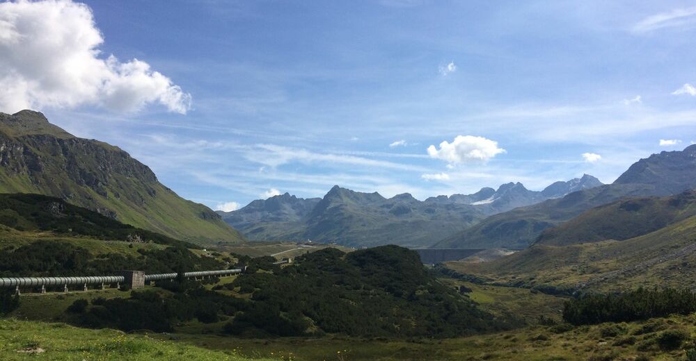
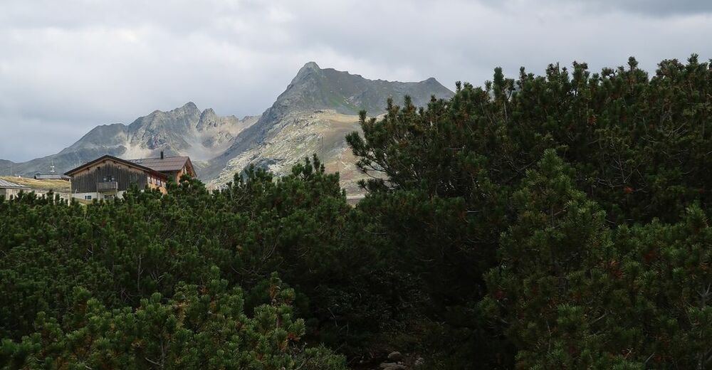
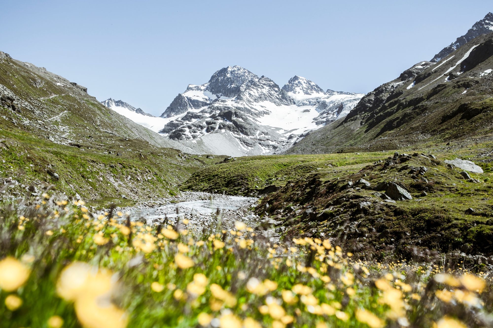
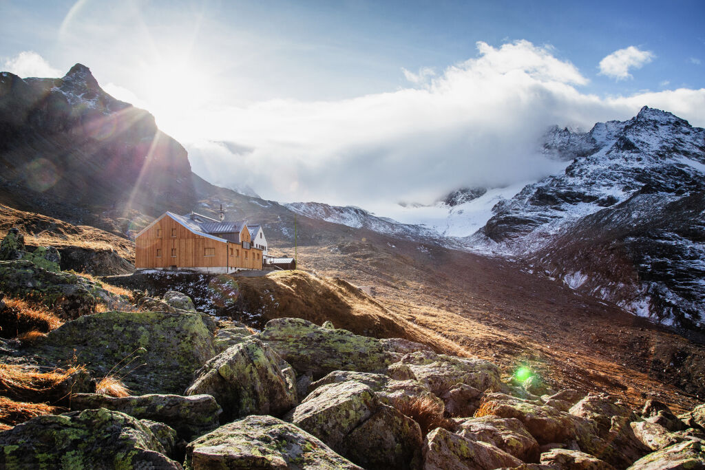
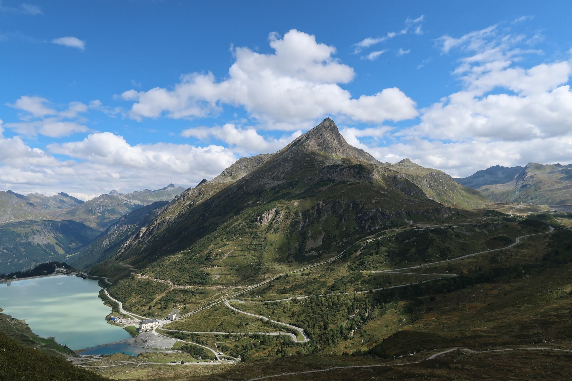
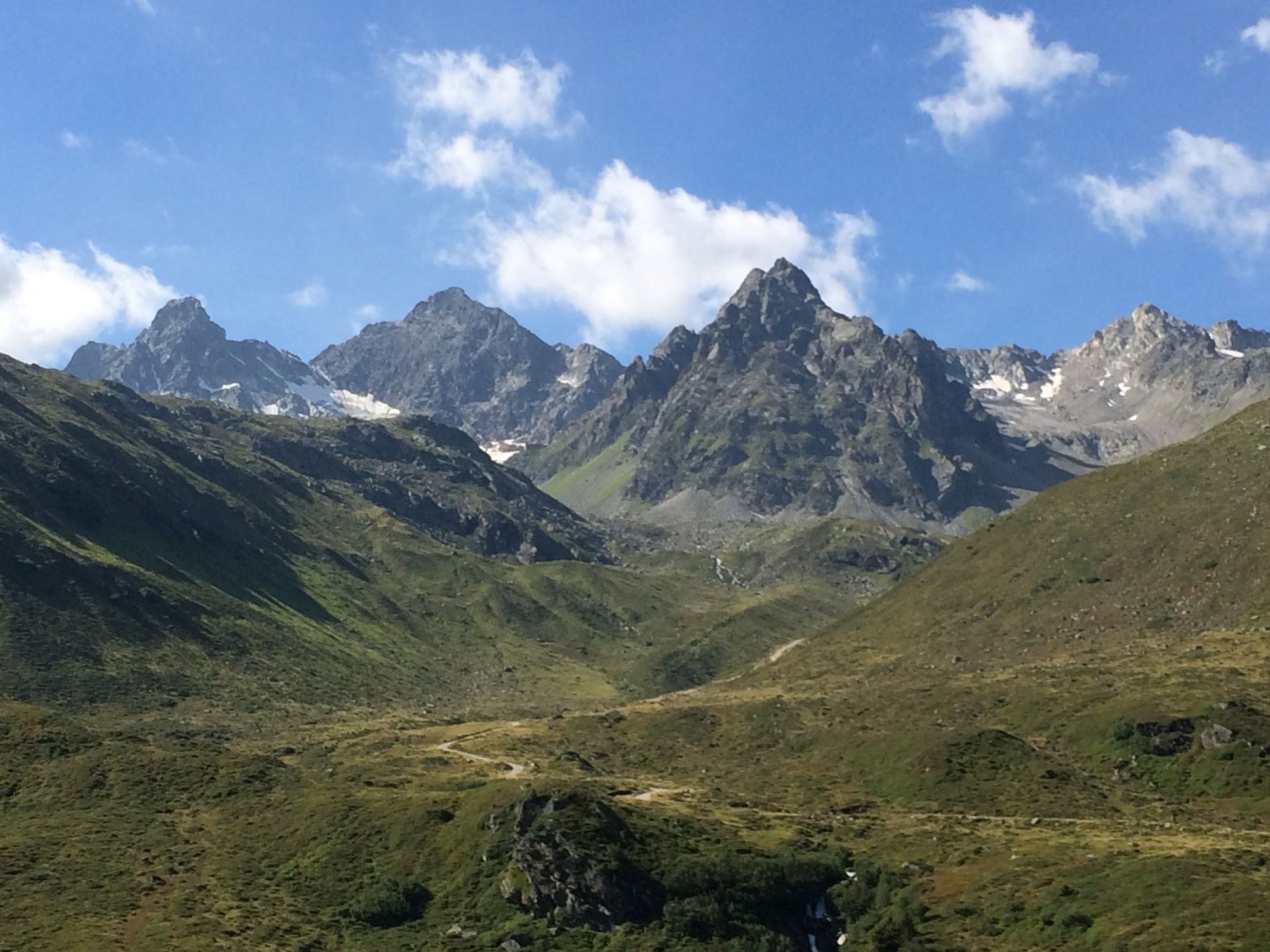
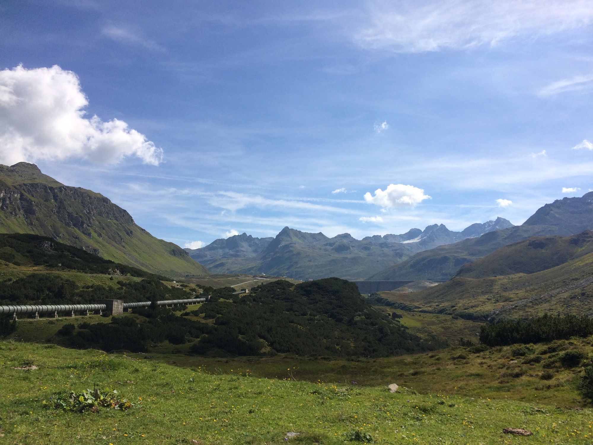
Eine imposante Hüttenwanderung in der majestätischen Silvretta im Montafon.
- Difficulty
-
medium
- Rating
-
- Route
-
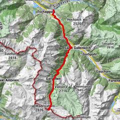
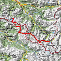
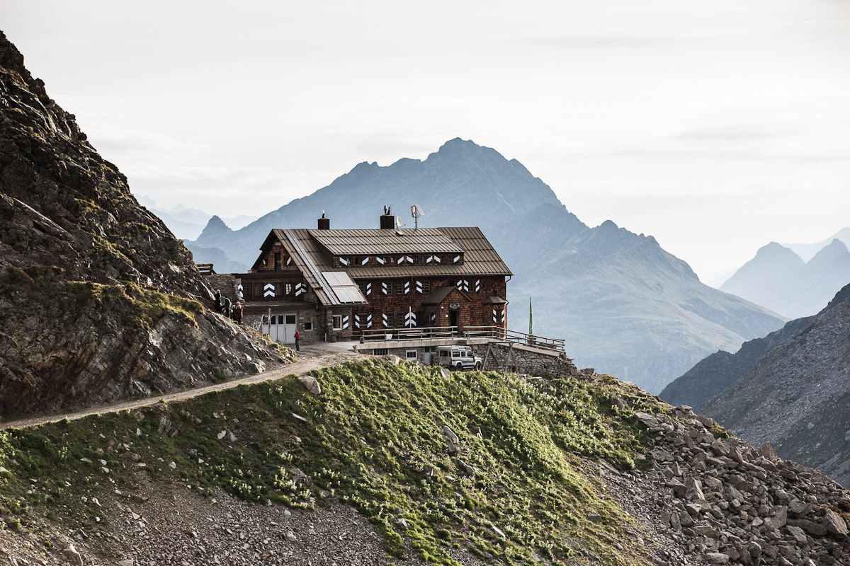
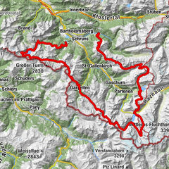
Saarbrücker Hütte5.7 kmMadlenerhaus12.1 kmSilvretta-Haus12.9 kmRestaurant Silvrettasee12.9 kmBerggasthof Piz Buin13.1 kmWiesbadener Hütte20.9 kmMarienkapelle21.0 kmMadlenerhaus28.4 km
- Best season
-
JanFebMarAprMayJunJulAugSepOctNovDec
- Highest point
- 2,649 m
- Endpoint
-
Silvretta-Bielerhöhe
- Height profile
-


-

-
AuthorThe tour Hüttentour Silvretta "Mittel" is used by outdooractive.com provided.
GPS Downloads


General info
Refreshment stop
A lot of view
Other tours in the regions
-
Montafon
1380
-
Gaschurn - Partenen
355


")