


- Brief description
-
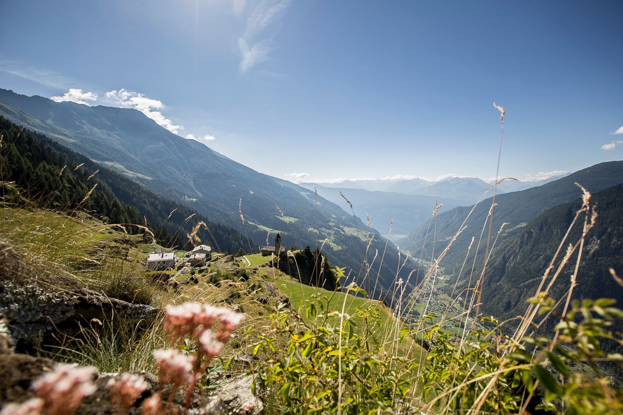
Wine from Veltlin has been imported to Graubunden and Voralberg for hundreds of years. One of the pack-mule routes led from Veltlin via Davos into Montafon. The historic route has been revived as the ViaValtellina, an attractive long-distance hiking route.
- Difficulty
-
medium
- Rating
-
- Starting point
-
Gargellen (A)
- Route
-
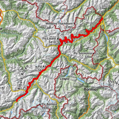
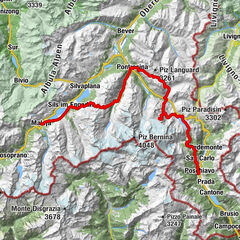
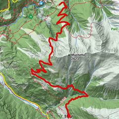
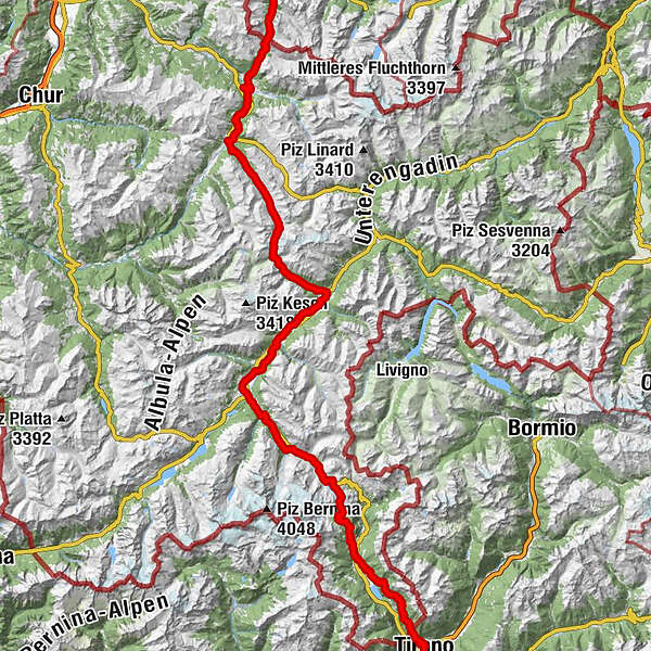
GargellenKuratienkirche Hl. Maria Magdalena0.0 kmVergalda1.2 kmMadrisahütte2.5 kmUntere Valzifenzalpe3.0 kmSchlappin (1,658 m)9.4 kmSchlappin See9.7 kmBerghaus Erika9.7 kmPizzeria Madrisa-Mia13.5 kmKlosters Dorf13.8 kmKlosters Platz (1,191 m)15.5 kmCavadürli (1,352 m)16.9 kmDavos-Laret (1,522 m)19.9 kmReformierte Kirche20.8 kmUnter-Laret (1,506 m)20.9 kmWolfgang22.6 kmKessler’s Kulm Restaurant22.7 kmDavos Wolfgang (1,625 m)22.8 kmSolaria27.5 kmTeufi (1,700 m)32.6 kmAm Rin (1,846 m)36.3 kmDürrboden (2,007 m)39.5 kmBerggasthaus Dürrboden39.5 kmReformierte Kirche54.5 kmSusauna54.6 kmChapella56.3 kmKirche St. Ulrich und Nikolaus und Hospiz56.9 kmS-chanf (1,660 m)59.9 kmReformierte Kirche60.0 kmS-chanf (1,670 m)60.1 kmKapelle St. Katharina und Barbara62.4 kmReformierte Kirche San Luzi62.5 kmZuoz (1,716 m)62.6 kmChapella San Bastiaun62.8 kmChaunt da Crusch63.4 kmMadulain (1,697 m)65.1 kmReformierte Kirche65.3 kmLa Punt Chamues-ch (1,687 m)66.5 kmLa Punt66.5 kmBurdun66.6 kmPiste 2172.6 kmSamaden (1,721 m)74.4 kmPontresina (1,774 m)80.4 kmSan Spiert81.2 kmPontresina (1,805 m)81.3 kmSurovas (1,822 m)81.9 kmMorteratsch (1,896 m)87.1 kmMorteratsch87.3 kmCascata da Bernina87.7 kmBernina Suot (2,046 m)89.8 kmBahnhofbuffet Ospizio Bernina96.9 kmOspizio Bernina (2,253 m)97.0 kmAlp Grüm101.6 kmBelvedere101.7 kmAlp Grüm (2,091 m)102.0 kmAlbergo Ristorante Stazione Alp Grüm102.1 kmAgriturismo Palü103.0 kmCavaglia104.7 kmBuffet Diego105.0 kmStazione Cavaglia105.1 kmCavaglia (1,692 m)105.1 kmCadera108.1 kmPoschiavo (1,014 m)111.2 kmCollegiata di San Vittore Mauro111.2 kmCologna112.6 kmPrada113.8 kmPagnoncini114.9 kmSan Romerio119.9 kmAlpe San Romerio119.9 kmViano125.3 kmI Ruman125.5 kmPensione Monigatti125.6 kmLa Bosca128.1 kmL'Cuc128.1 kmLa Piata128.4 kmCamp Lunc128.7 kmLi Brati129.0 kmLa Crus129.3 kmRoncaiola130.0 kmChiesa di Santo Stefano130.0 kmTirano (441 m)131.7 km
- Best season
-
JanFebMarAprMayJunJulAugSepOctNovDec
- Description
-
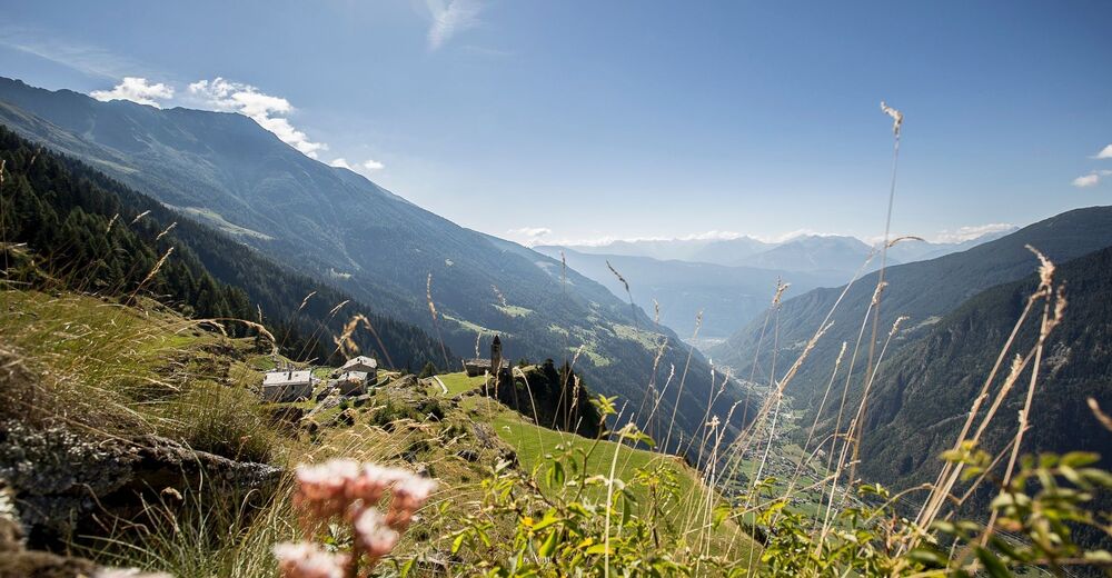
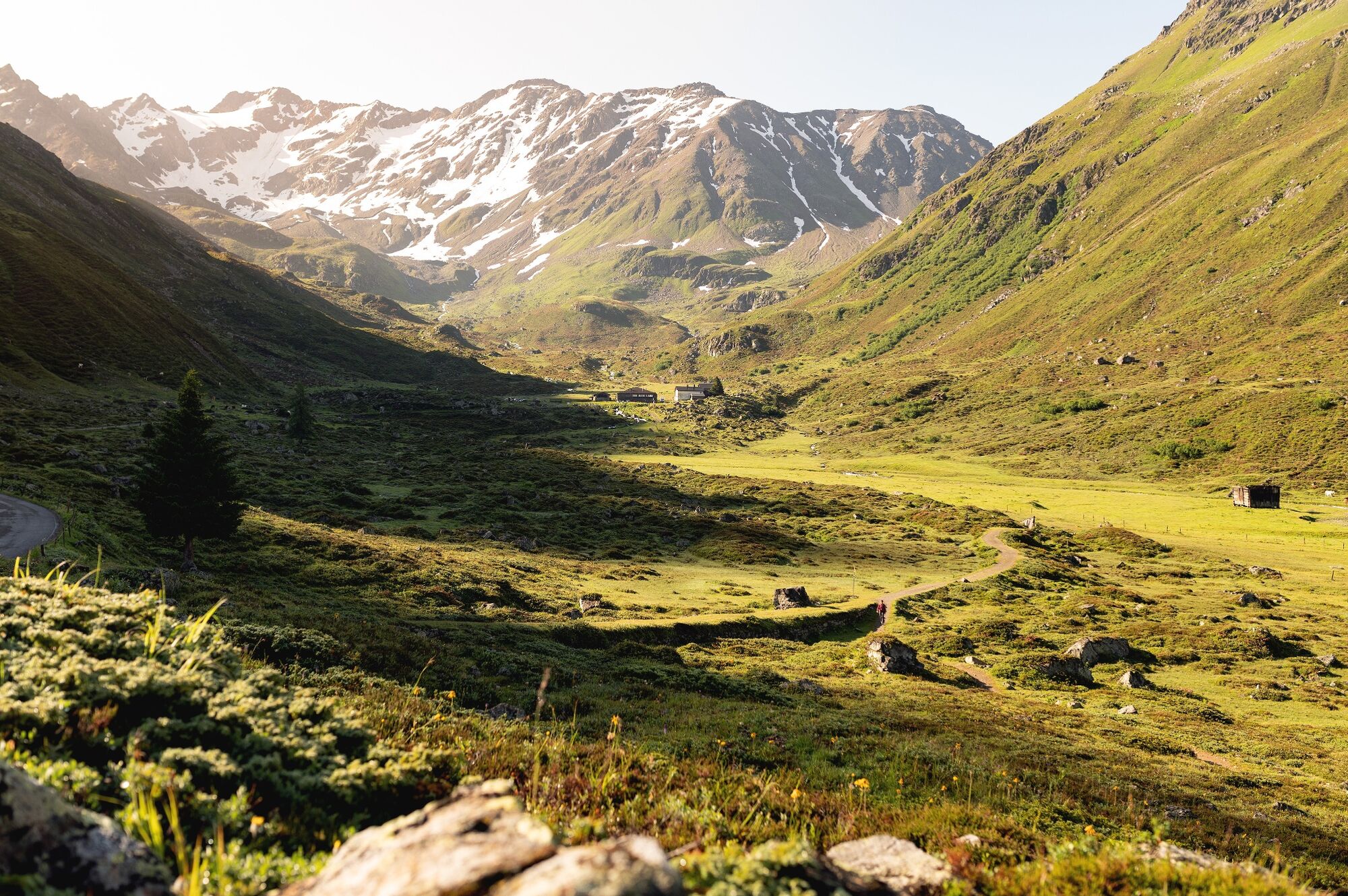
The ViaValtellina leads along a former pack-mule track for Veltliner wine, from Montafon over the Bernina, Scaletta and Schlappiner Joch Passes to Tirano in Veltlin. The long-distance route, through a variety of natural and cultural landscapes, can be split into seven one-day stages.
Three language regions are crossed; from the German-speaking Walser settlements in Montafon, Prättigau and Landschaft Davos through the Rhaeto-Romanic high valley of the Engadine to the Italian-speaking valleys of Poschiavo and Veltlin. You hike through several vegetation stages, from the raw Alpine climate on the pass summits to the warm air of Tirano in the south.
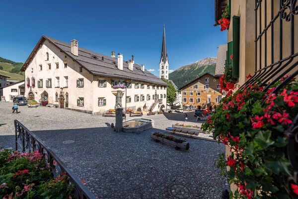
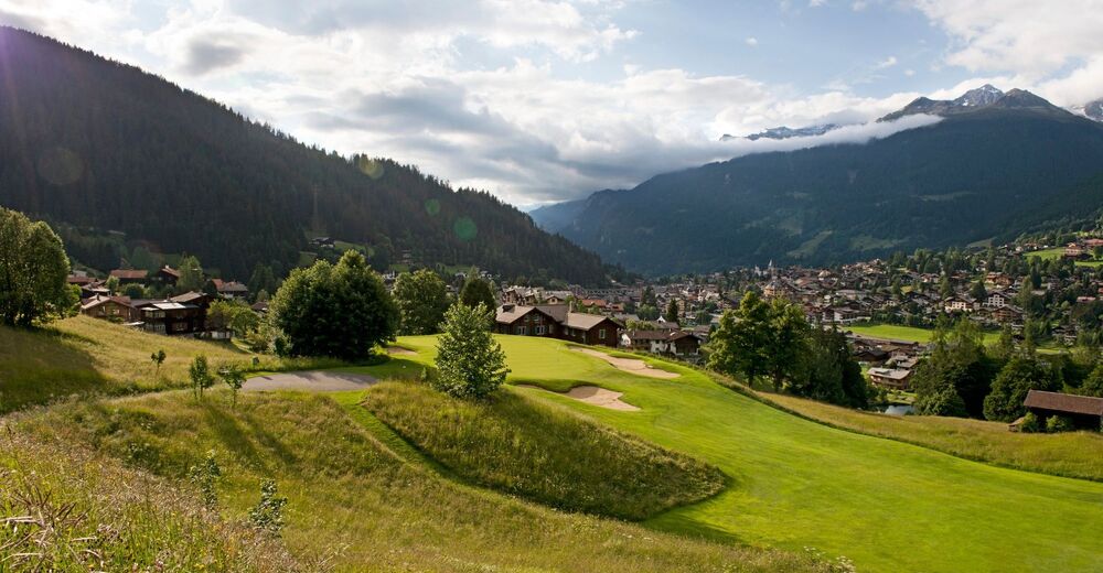
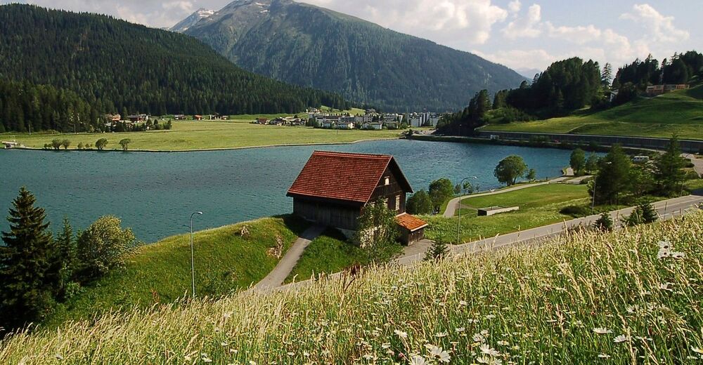
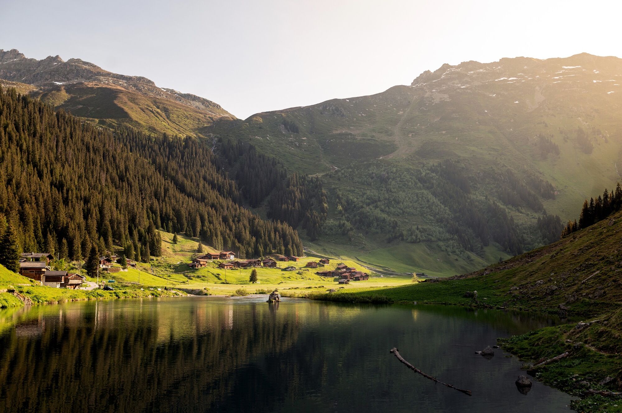
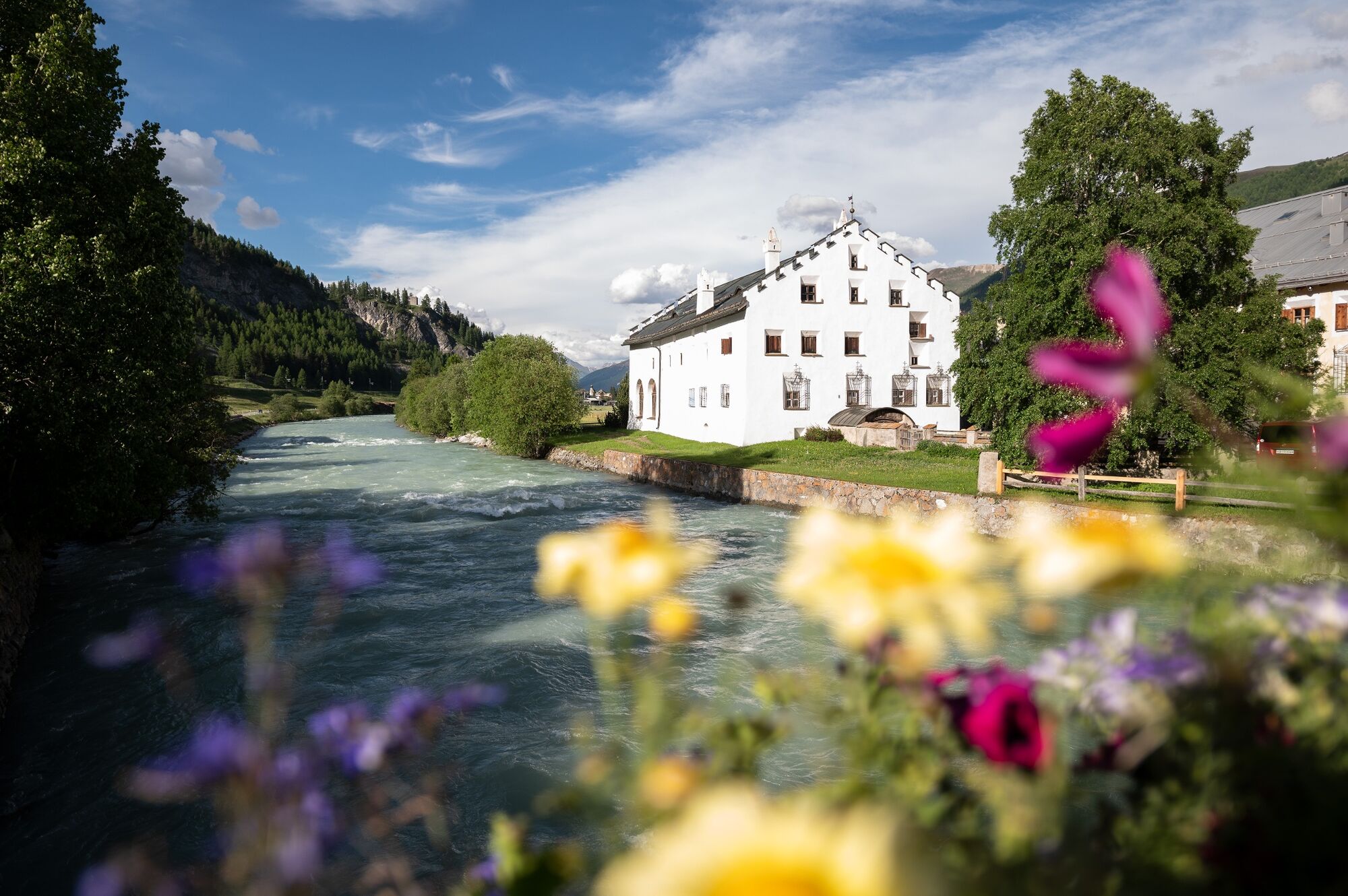
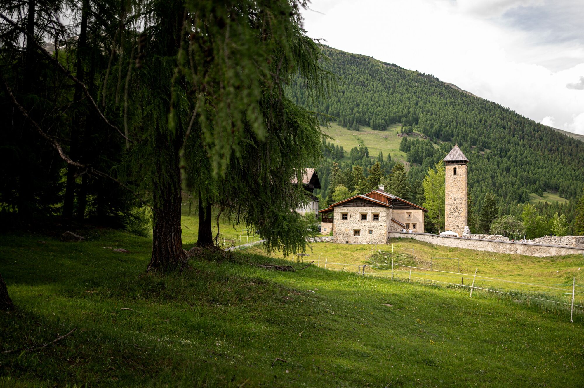
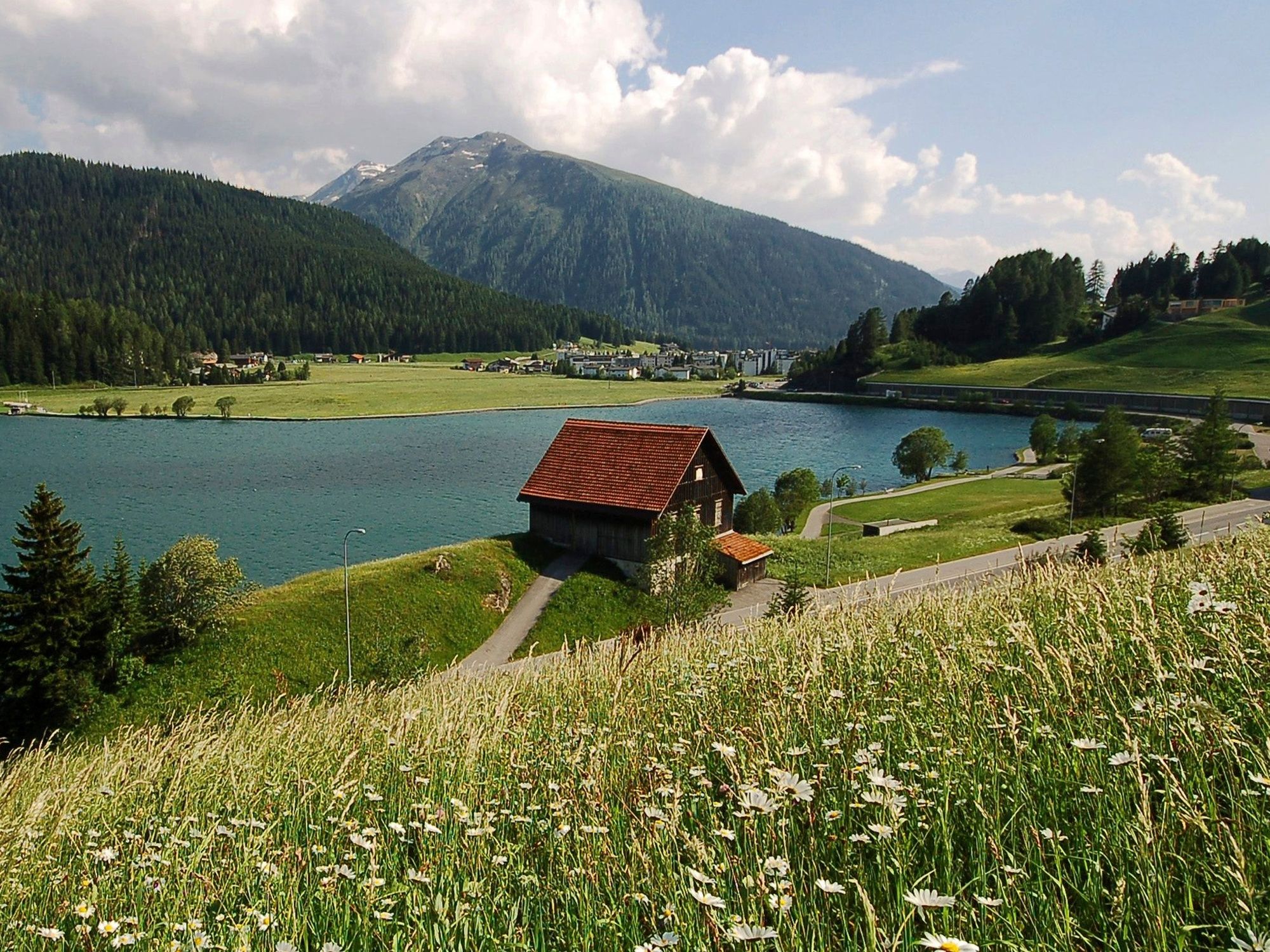
Famous holiday resorts such as Schruns, Klosters, Davos and Pontresina alternate with remote side valleys such as Schlappin-Tal or Val Funtauna. Picturesque hamlets with melodic names like Susauna, Chapella and San Romerio offer an invitation to linger. And with the views of the majestic mountain world on the Bernina, hardly anyone will think about the vineyards and Palazzi waiting in Tirano some 30 km further on. - Directions
-
Stages:
30.1 Gargellen (A)–Klosters (Schlappin)
30.2 Klosters (Schlappin)–Davos
30.3 Davos–S-chanf
30.4 S-chanf–Pontresina
30.5 Pontresina–Alp Grüm
30.6 Alp Grüm–S. Romerio
30.7 S. Romerio–Tirano (I) - Highest point
- 2,602 m
- Endpoint
-
Tirano (I)
- Height profile
-

- Tips
-
Online booking!
- Additional information
-
Booking:
Railservice Rhätische Bahn
+41 (0)81 288 65 65
railservice@rhb.ch
BookingwebsiteInformationcenter:
Destination Davos Klosters
Tourismus- und Sportzentrum
Talstrasse 41
7270 Davos Platz
Tel. +41 81 415 21 21
Fax +41 81 415 21 00Engadin St. Moritz
St. Moritz Tourist Information
Via Maistra 12
CH - 7500 St. Moritz
T + 41 (0)81 837 33 33
F + 41 (0)81 837 33 77
stmoritz@estm.chEnte Turistico Valposchiavo Stazione
7742 Poschiavo
Tel. +41 (0)81 844 05 71
Fax +41 (0)81 844 10 27
info@valposchiavo.ch
www.valposchiavo.ch


- Author
-
The tour 30 Via Valtellina is used by outdooractive.com provided.


General info
-
Engadin St. Moritz
783
-
Zuoz
188