© Montafon Tourismus GmbH, Daniel Zangerl - Christina Wachter

© Montafon Tourismus GmbH, Daniel Zangerl - Christina Wachter
© Amt der Vorarlberger Landesregierung - Kultur - Günter König

© Montafon Tourismus GmbH, Christina Wachter - Christina Wachter
© Vorarlberg isst
© Montafon

- Brief description
-
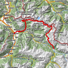
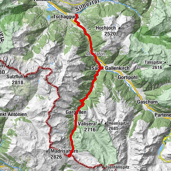
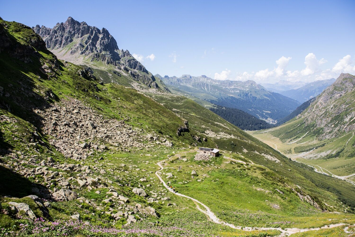
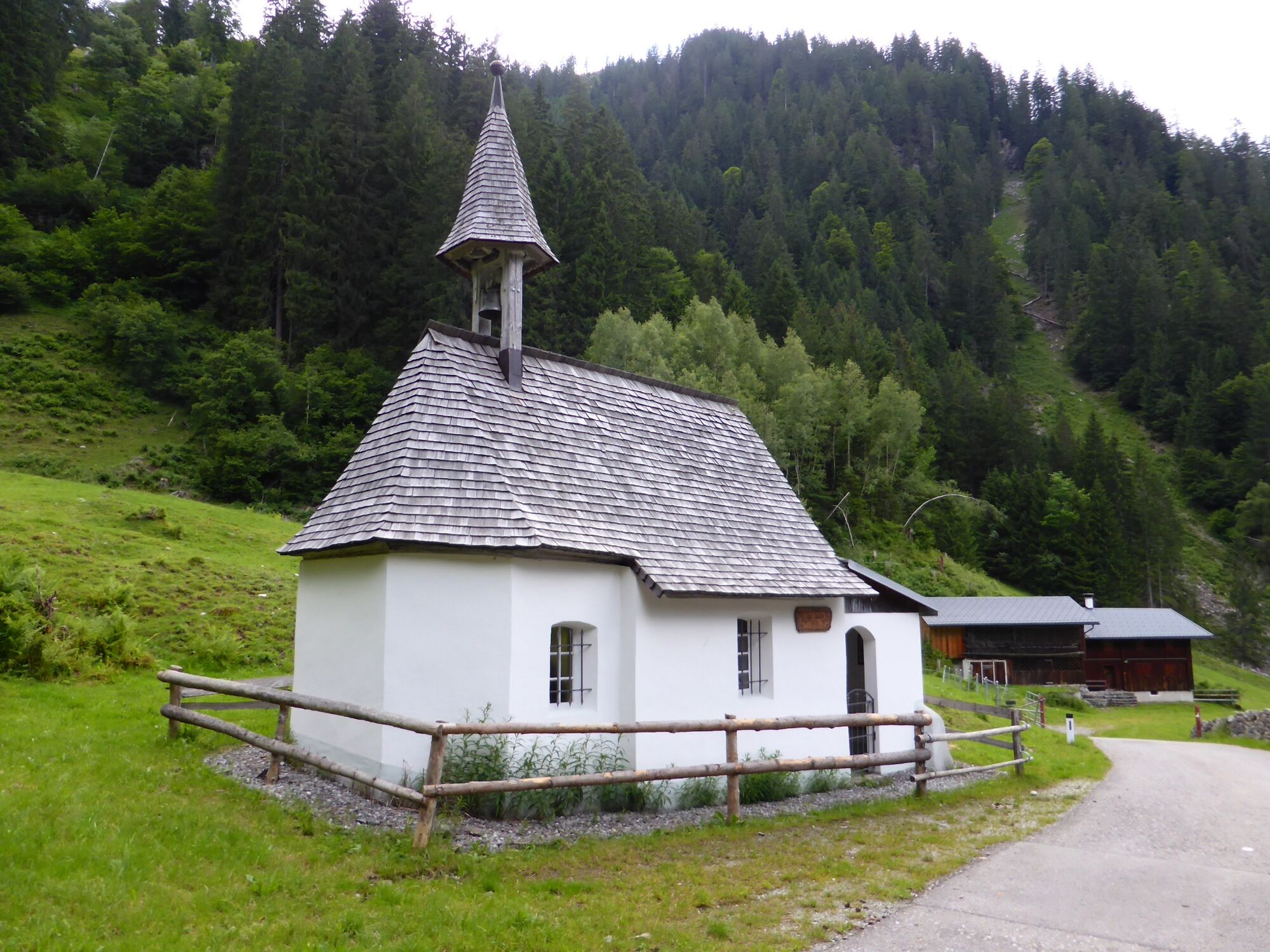
Die historische Handelsroute „Via Valtellina“ führt von Tirano in Italien nach Schruns im Montafon. Bei diesem Tourabschnitt von Schruns zum Schlappiner Joch im Montafon sind unter anderem die altehrwürdigen Steinmauer im Bereich Galgenul und Gargellen zu sehen. Wanderung auf einem historischen Weg!
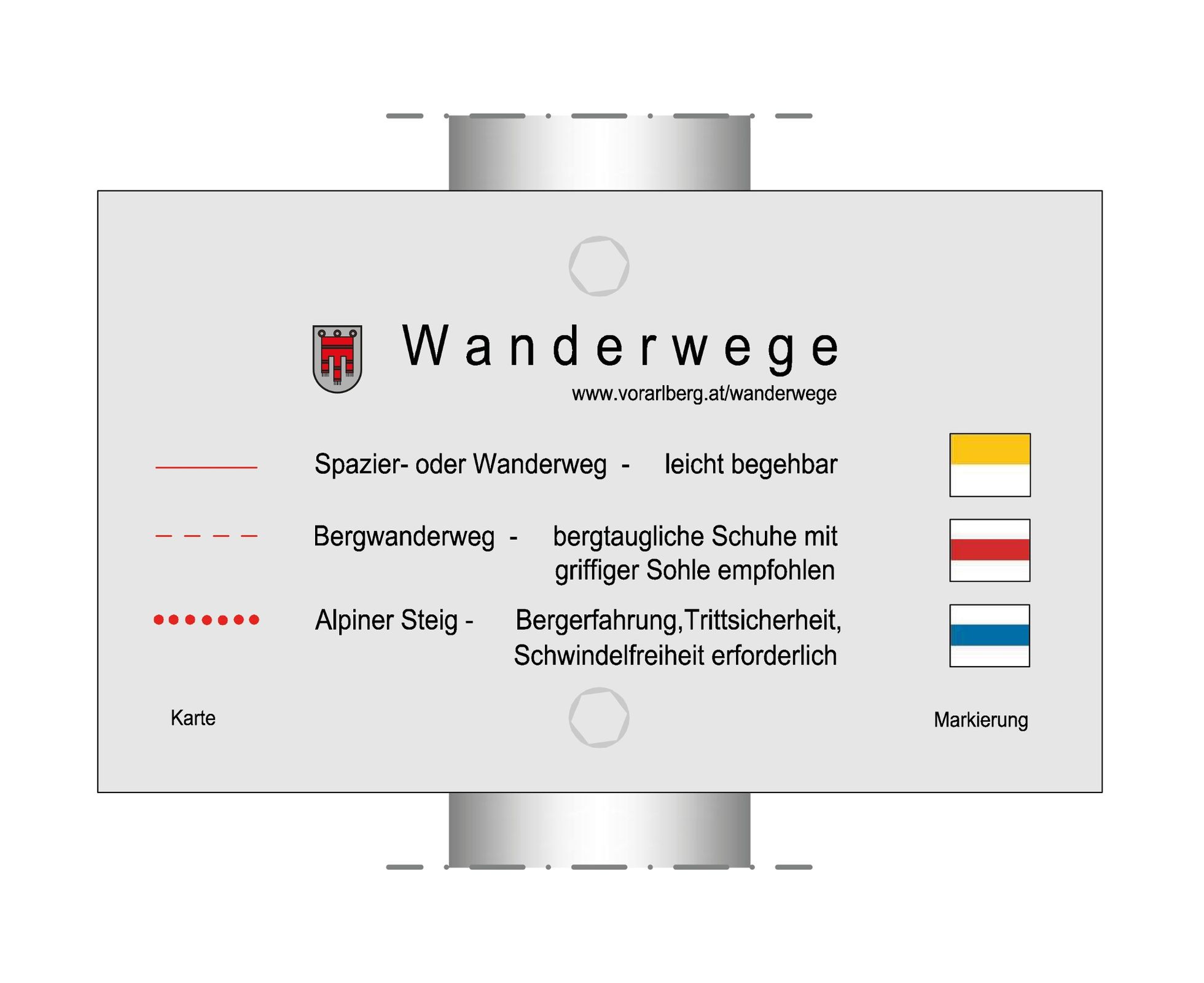
- Difficulty
-
medium
- Rating
-
- Route
-
Pfarrkirche St. Jodok0.0 kmSchruns0.1 kmStiefen3.7 kmHof5.8 kmGortniel6.3 kmGalgenul8.8 kmSarotla14.2 kmFideliskapelle15.8 kmGargellen17.4 kmGargellner Stoba17.6 kmBarga18.7 kmVergalda18.7 kmUntere Valzifenzalpe20.2 km
- Best season
-
JanFebMarAprMayJunJulAugSepOctNovDec
- Highest point
- 2,197 m
- Endpoint
-
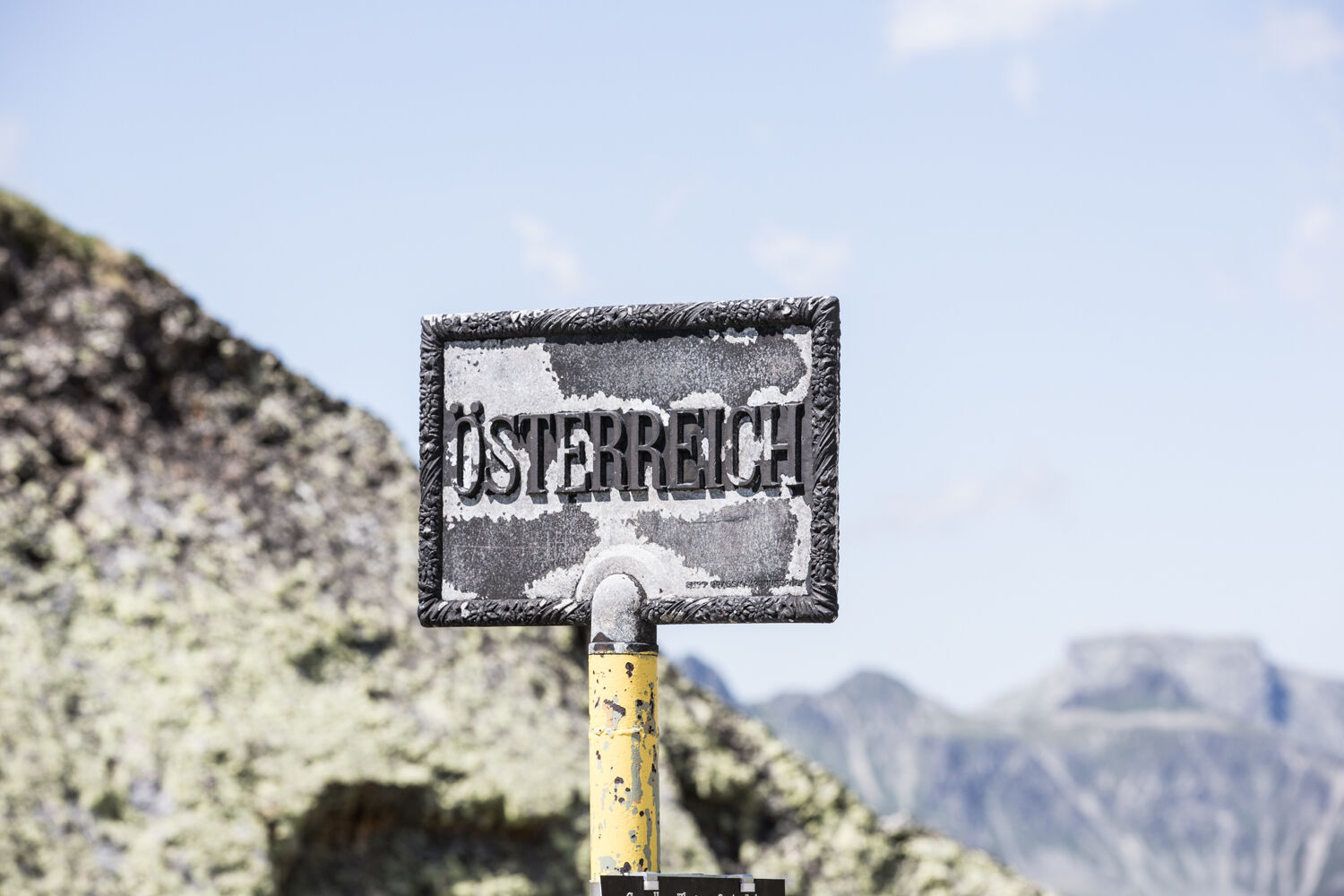
Schlappiner Joch
- Height profile
-


-

-
AuthorThe tour Via Valtellina Montafon is used by outdooractive.com provided.
GPS Downloads


General info
Refreshment stop
Cultural/Historical
Other tours in the regions
-
Montafon
1380
-
Gargellen im Montafon
352