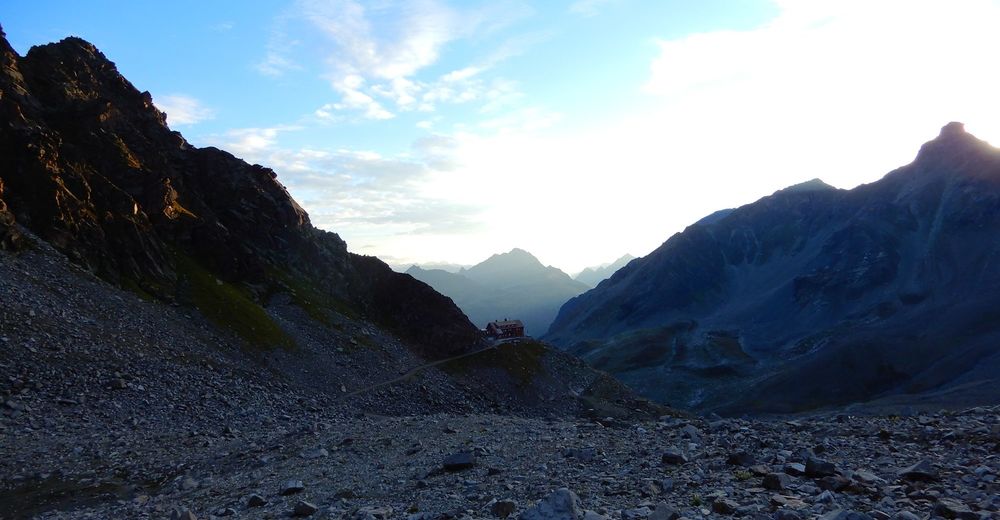
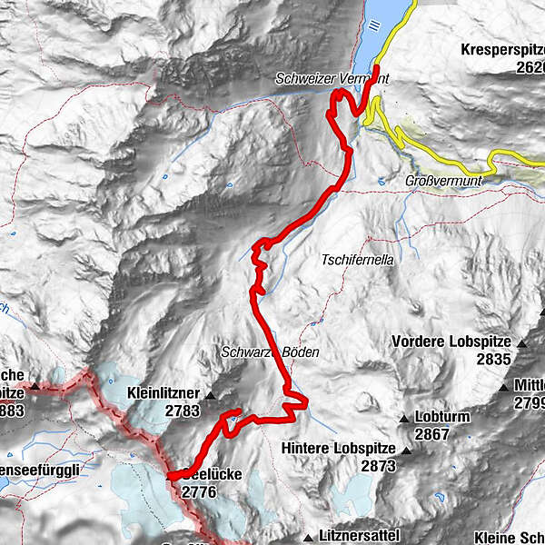
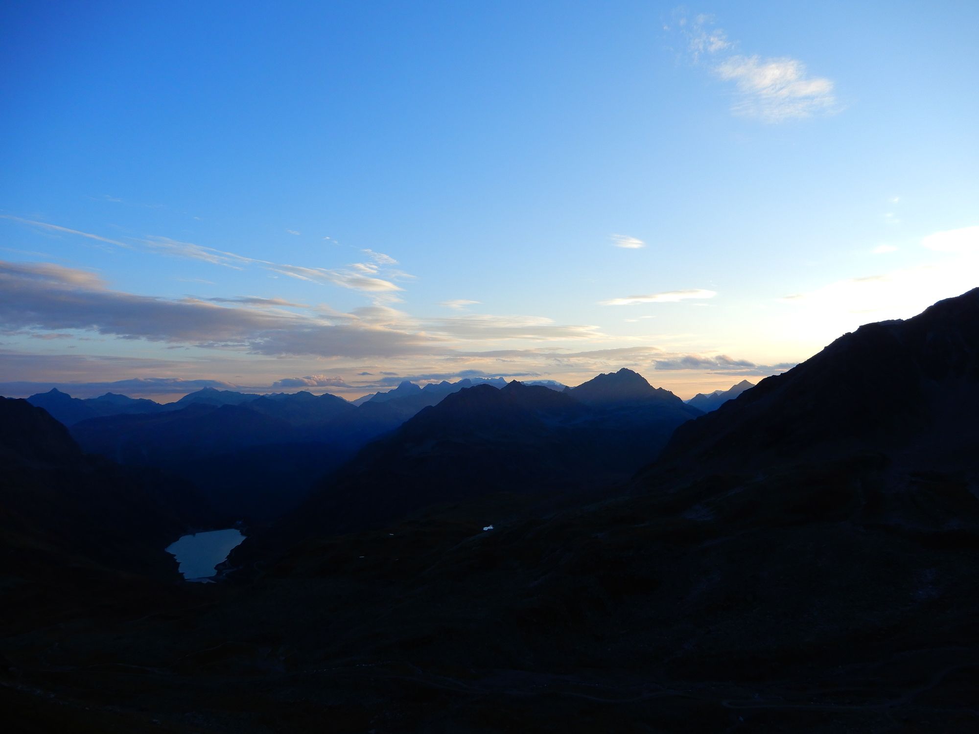
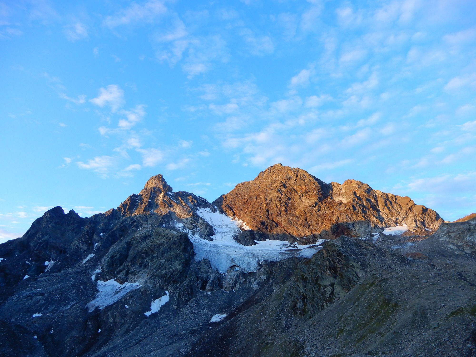
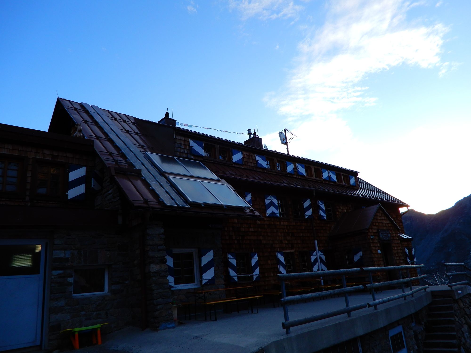
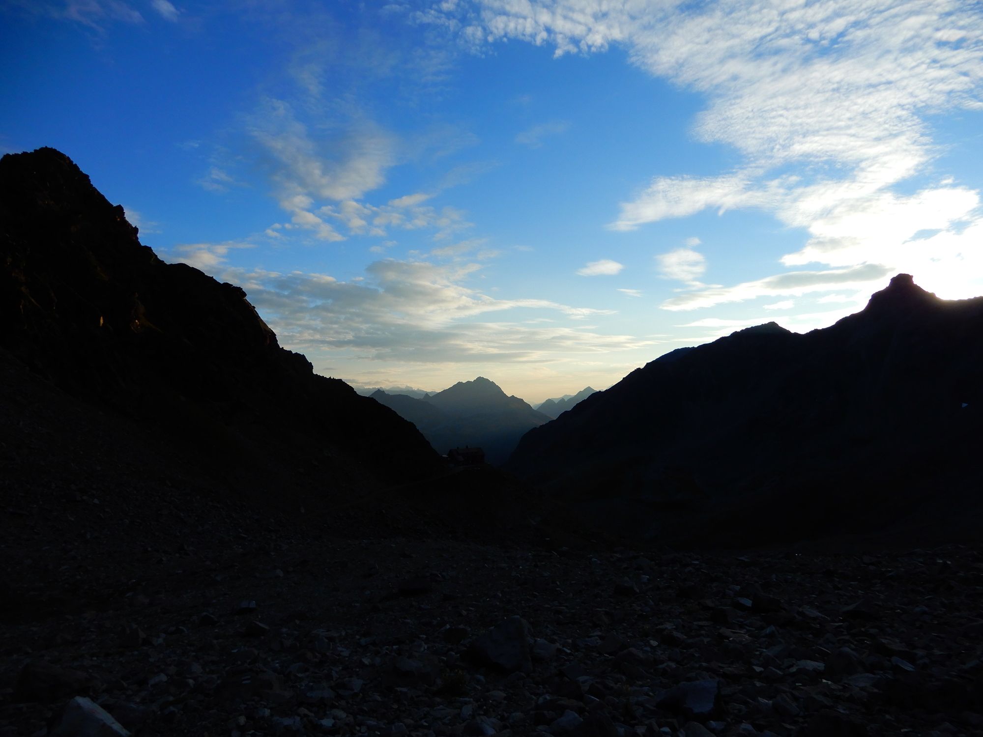
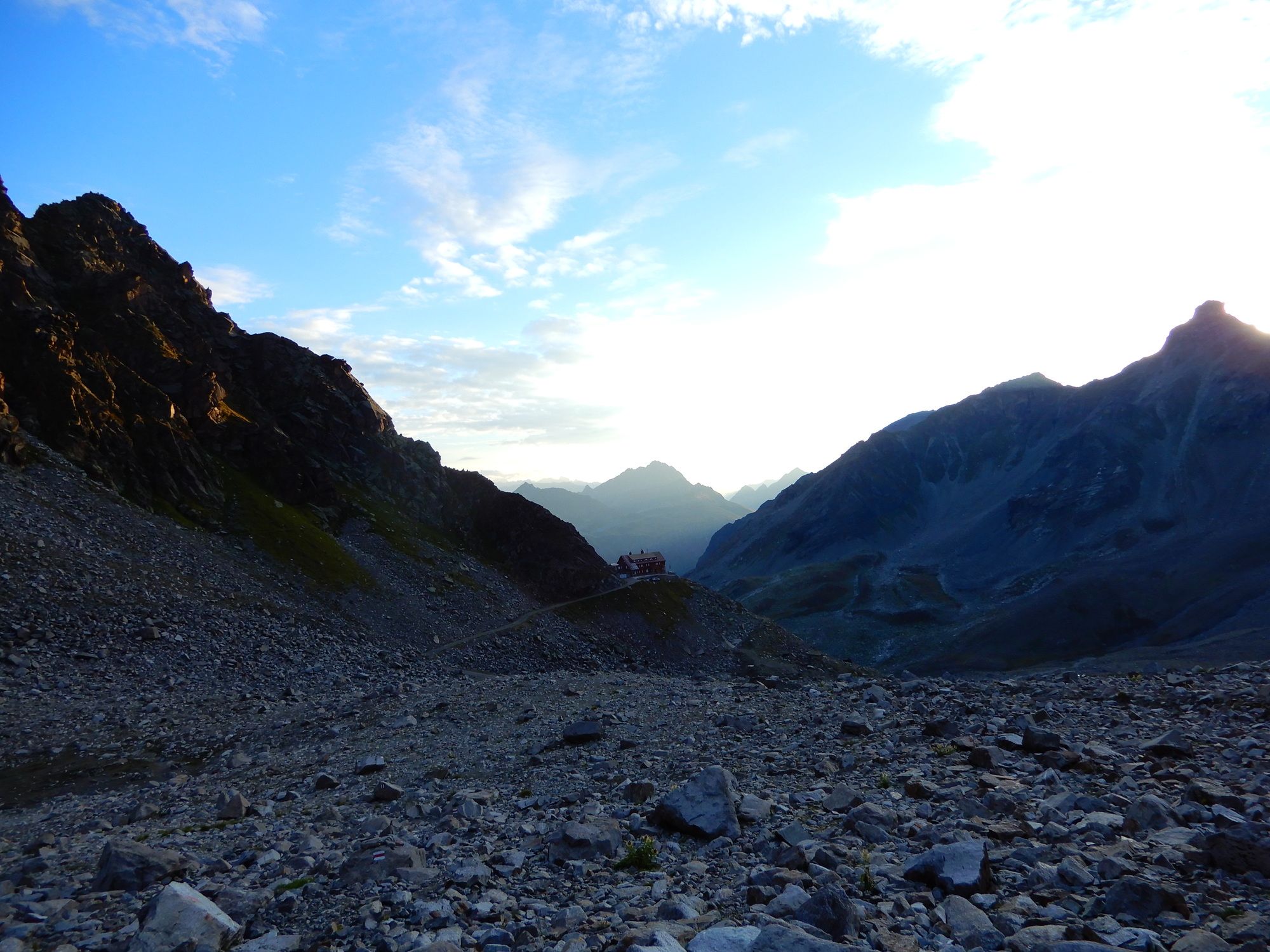
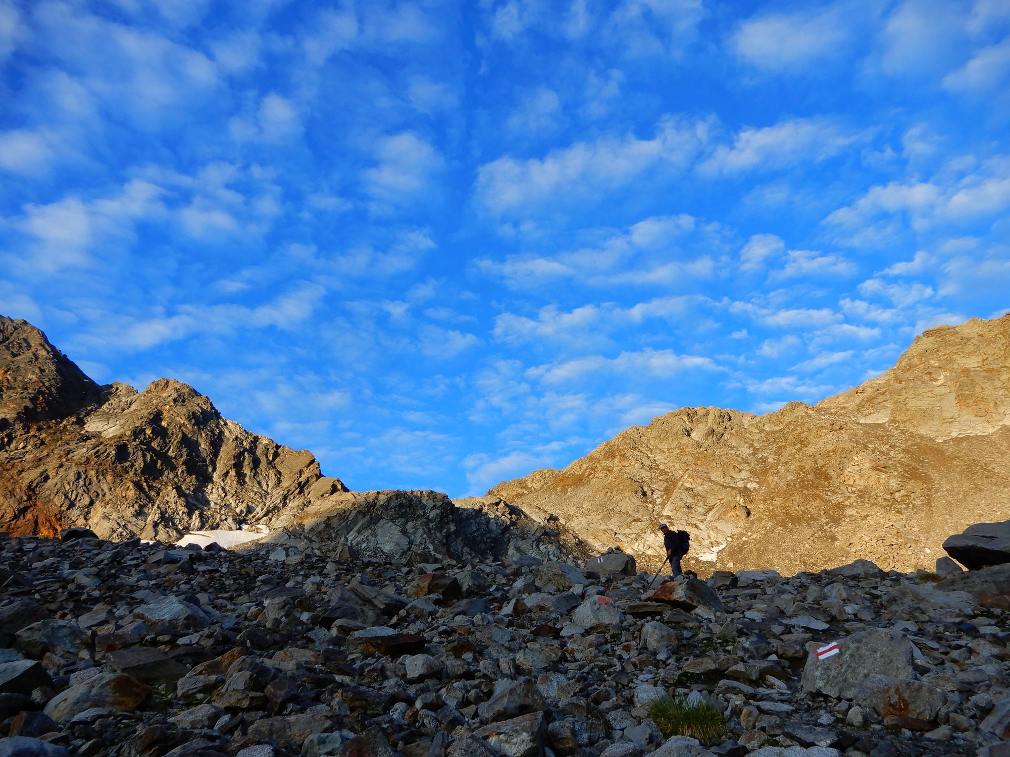
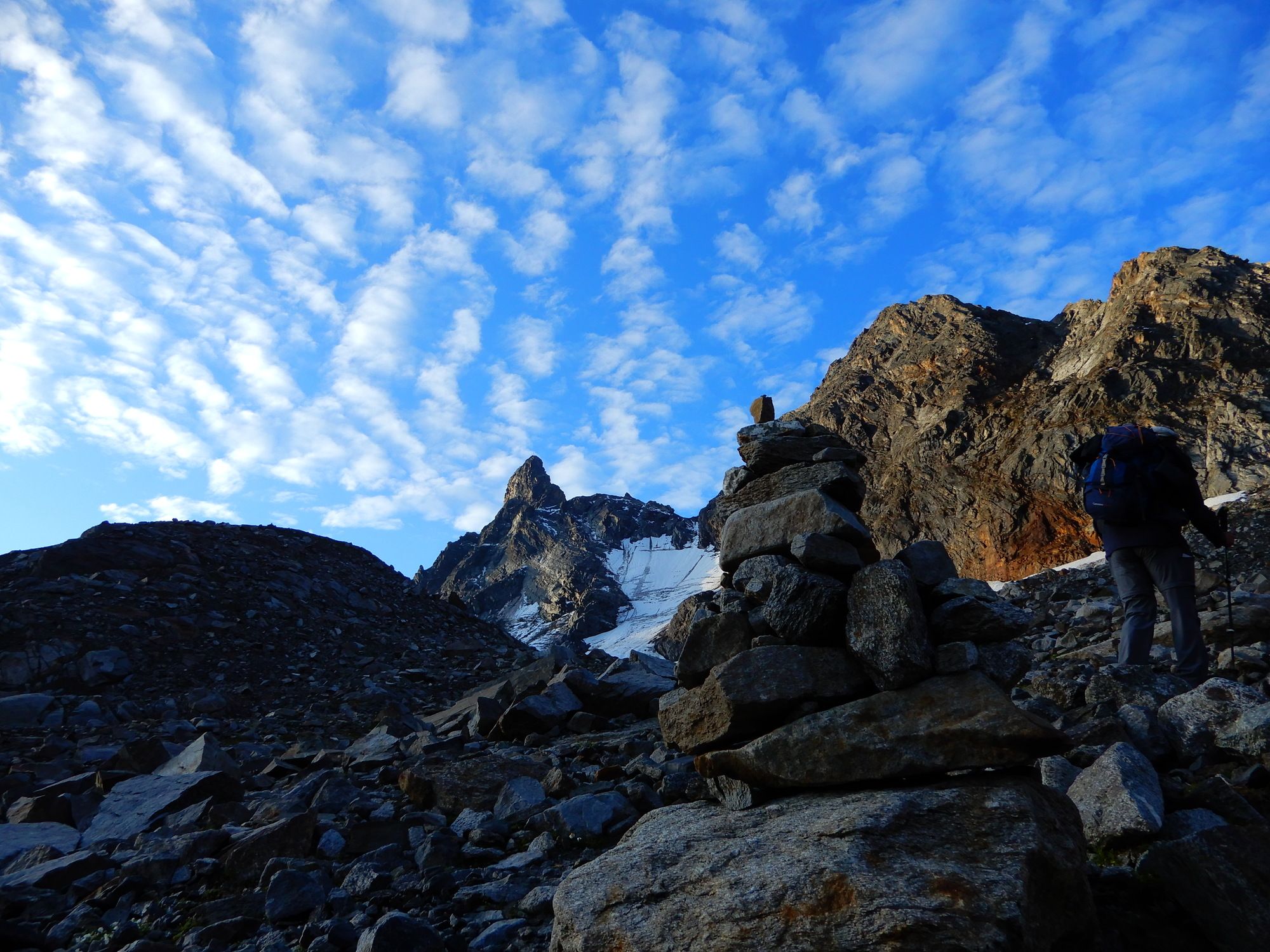
02 Zentralalpenweg, Tag 42: Saarbrücker Hütte - Vermunt-Stausee

long-distance walking trail
© gert gasperin
© gert gasperin
© gert gasperin
© gert gasperin
© gert gasperin
© gert gasperin
© gert gasperin
© gert gasperin
© gert gasperin
© gert gasperin
Tour data
8.4km
1,760
- 2,743m
227hm
979hm
03:45h
- Brief description
-
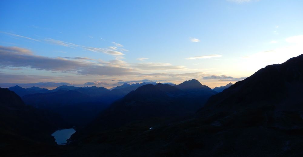
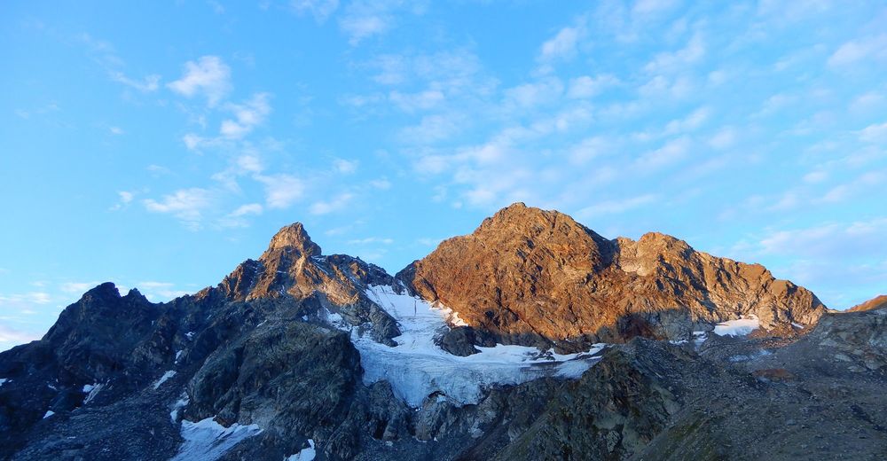
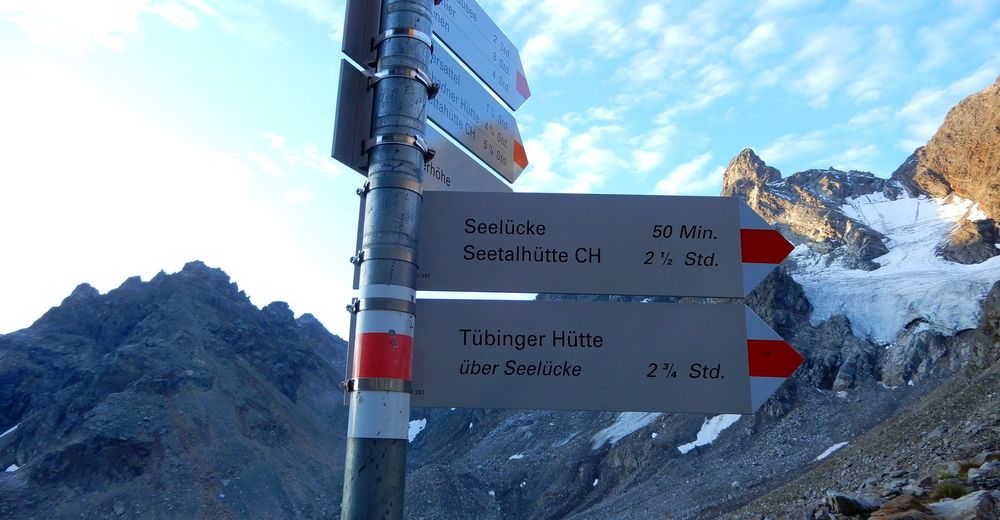
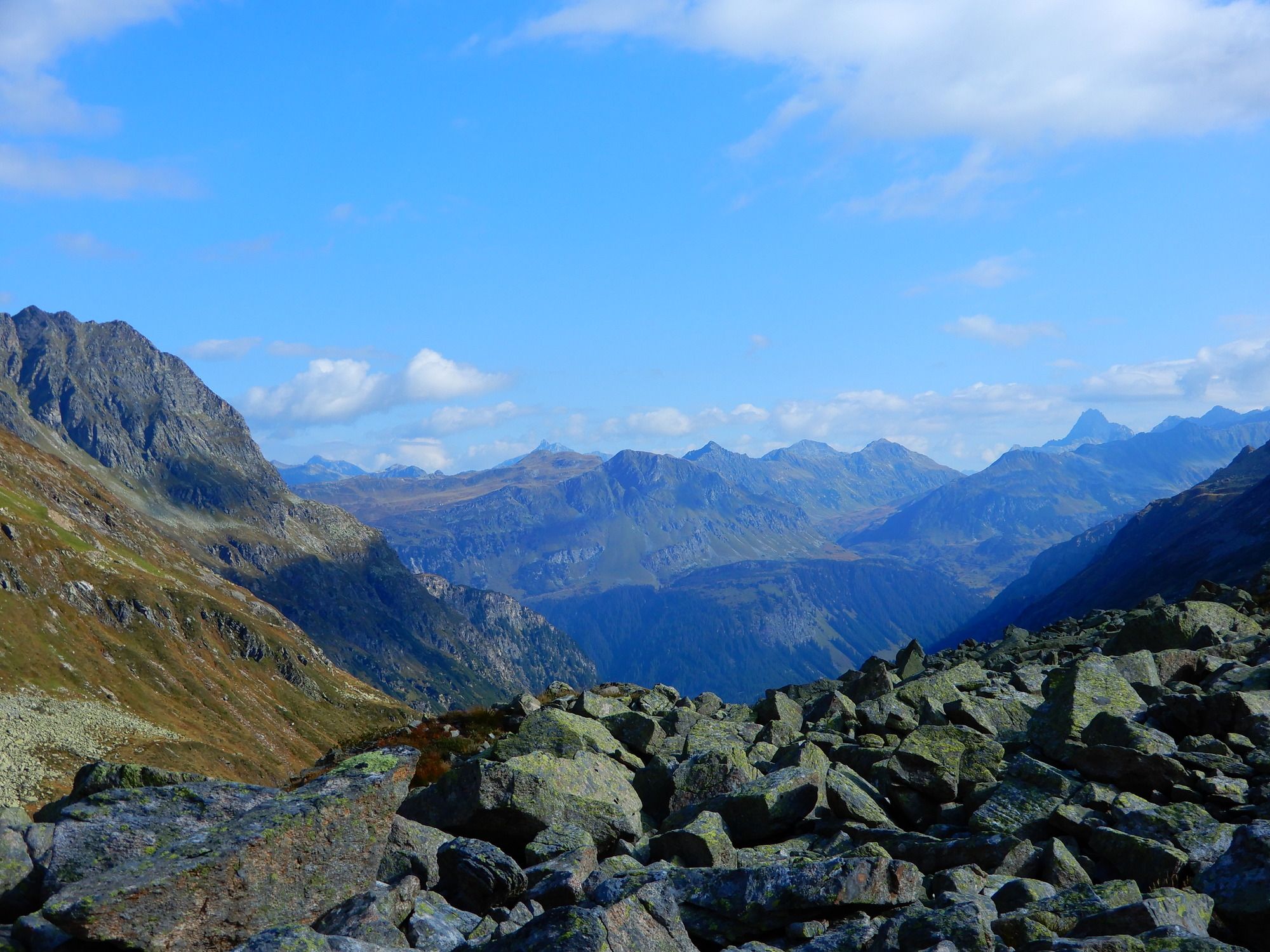
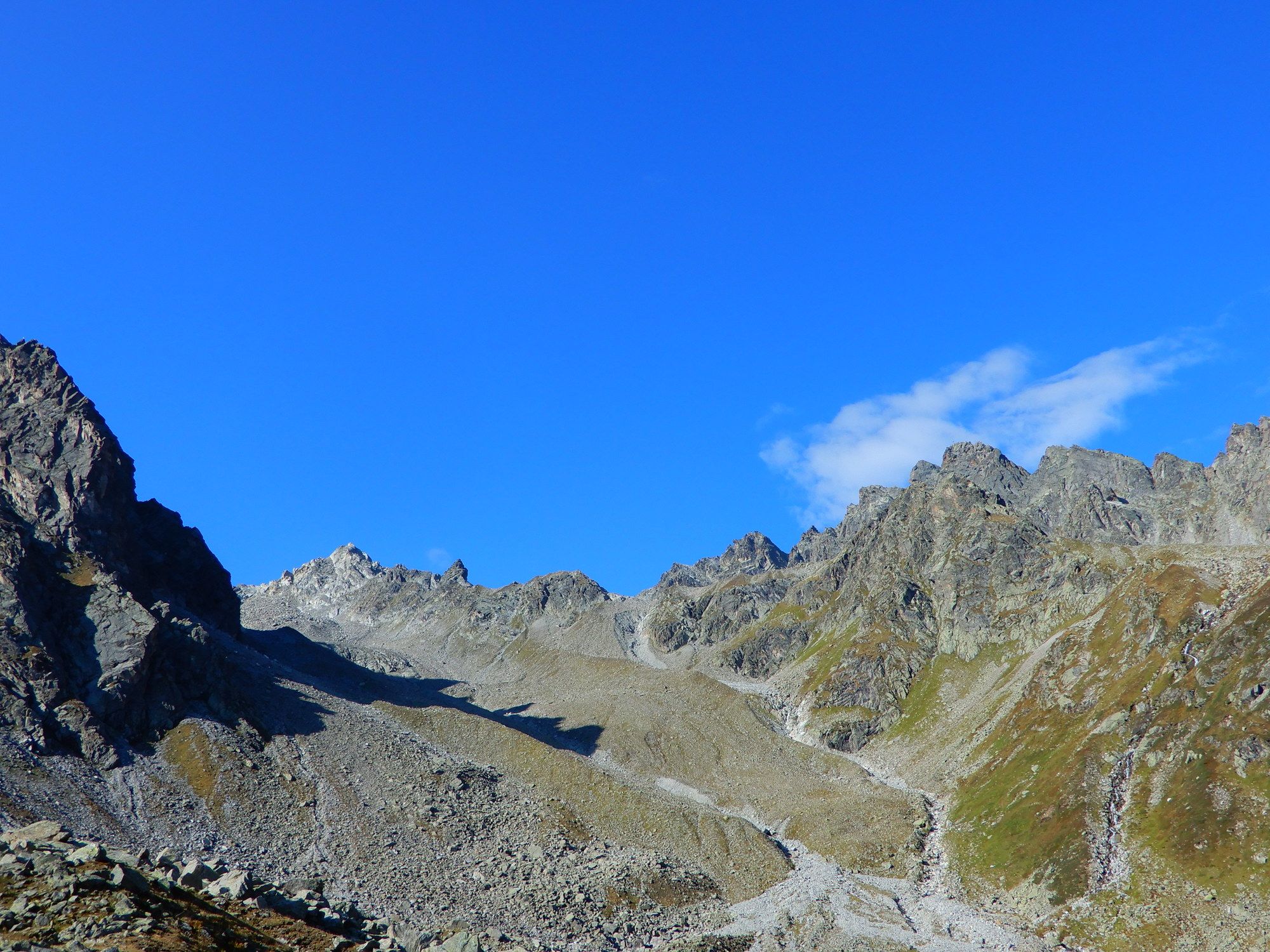
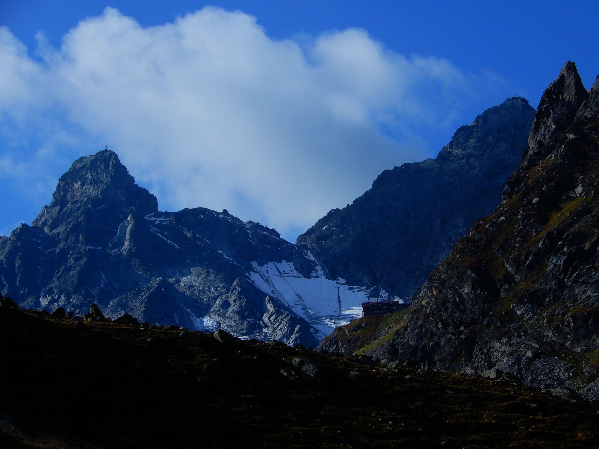
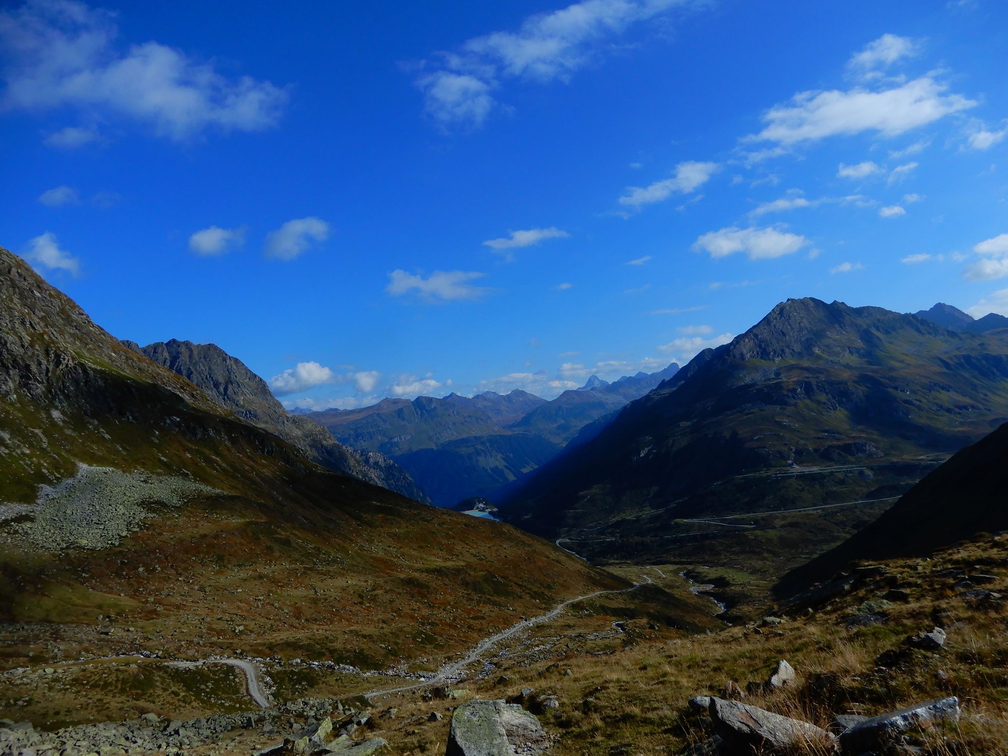
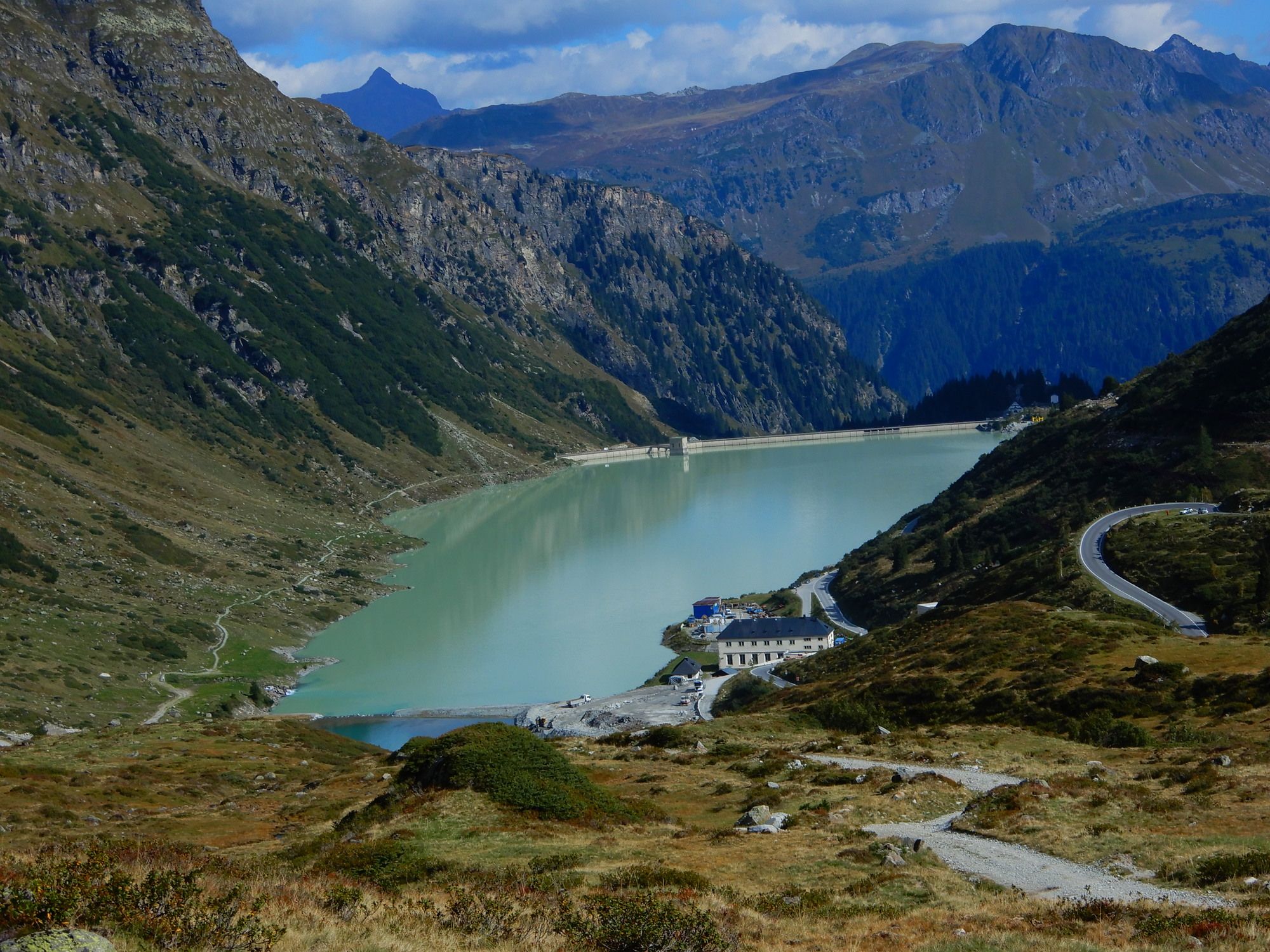
02 Zentralalpenweg, Tag 42: Saarbrücker Hütte - Seelücke - Schwarze Böden - Vermuntstausee
- Difficulty
-
easy
- Rating
-
- Starting point
-
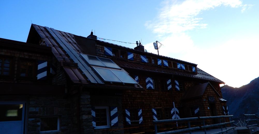
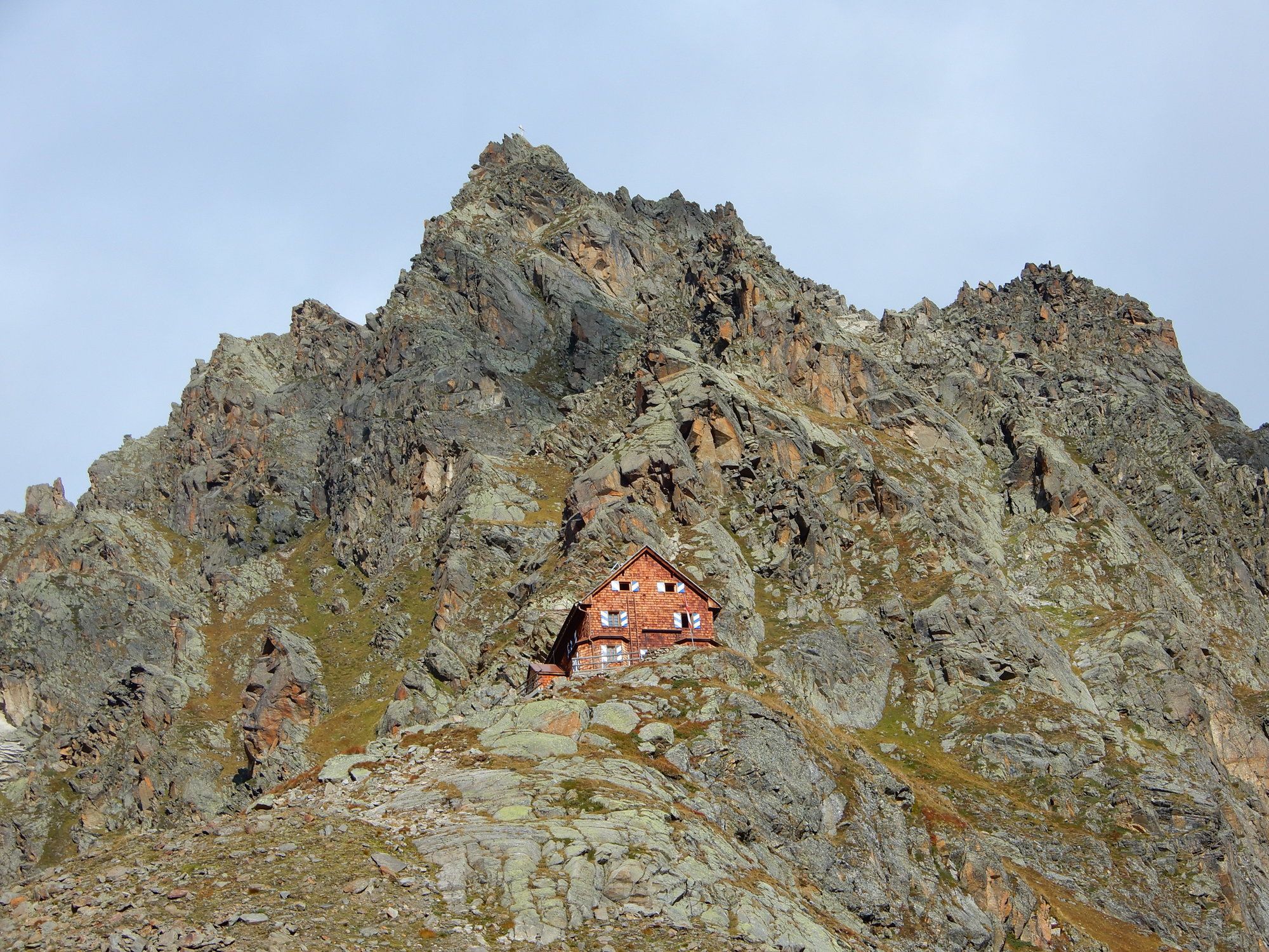
Saarbrücker Hütte
- Route
-
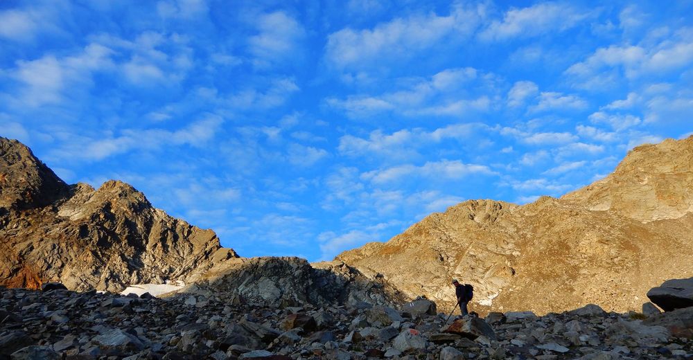
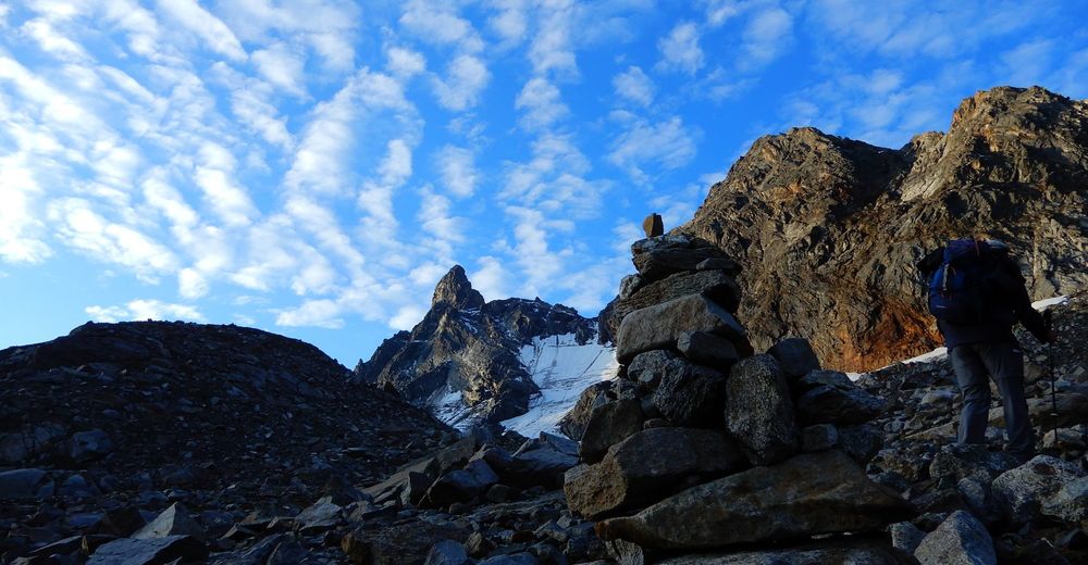
Saarbrücker Hütte0.0 kmSchutzhütte1.1 kmSchwarze Böden3.7 km
- Best season
-
JanFebMarAprMayJunJulAugSepOctNovDec
- Highest point
- 2,743 m
- Endpoint
-
Vermuntstausee


GPS Downloads


Trail conditions
Asphalt
Gravel
Meadow
Forest
Rock
Exposed
Other tours in the regions
-
Montafon
1380
-
Gaschurn - Partenen
355