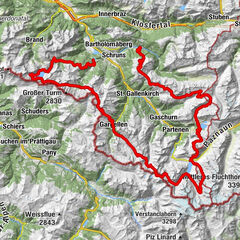
Der Landschaft auf der Spur – Landschafts- und Kulturpfad Gaschurn-Partenen-Galtür

long-distance walking trail

© Montafon Tourismus GmbH - Andreas Haller

© Montafon - Andreas Haller

© Montafon - Andreas Haller

© Montafon - Andreas Haller
© Österreichs Wanderdörfer

© Montafon Tourismus GmbH - Andreas Haller - Christina Wachter

© Montafon - Andreas Haller
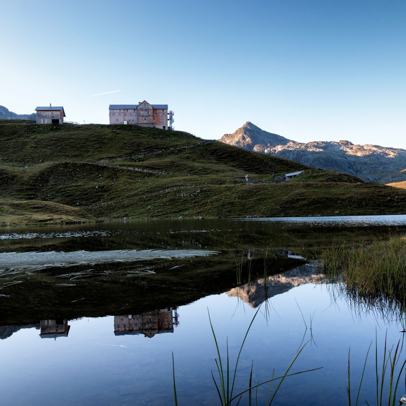
© Montafon Tourismus GmbH - Andreas Haller - Elisa Schöllhorn

© Montafon - Andreas Haller

© Montafon - Andreas Haller

- Brief description
-
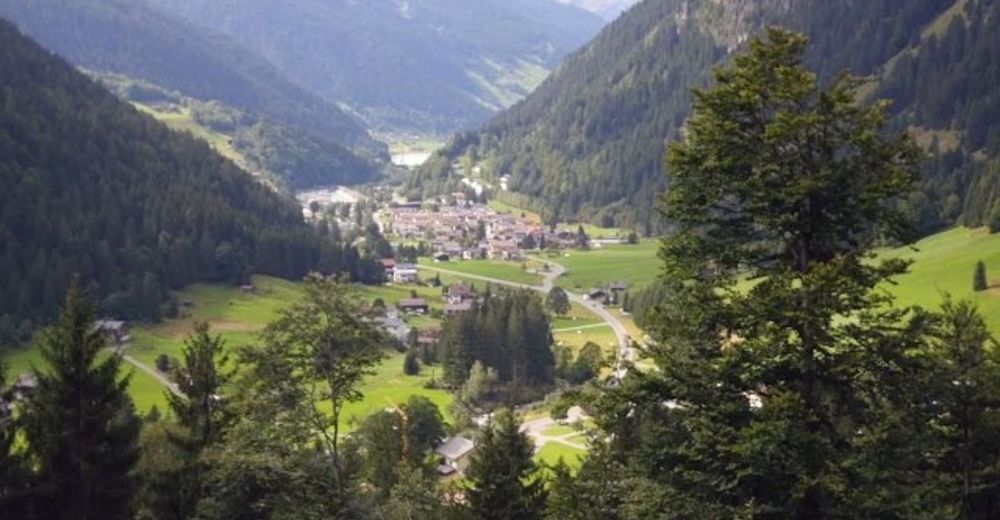
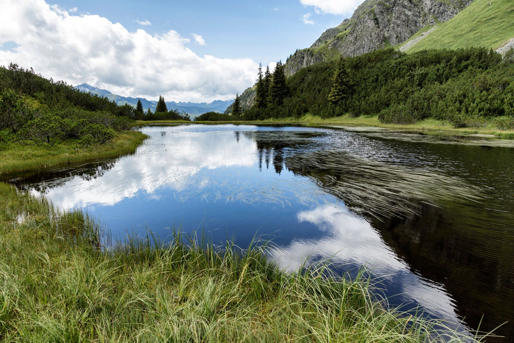
Wunderschöner und ungefährlicher Wanderweg ins Europaschutzgebiet Wiegensee und Verwall. Zudem bieten viele tolle Aussichtspunkte einen wunderschönen Blick in die Gebirgswelt der Silvretta.
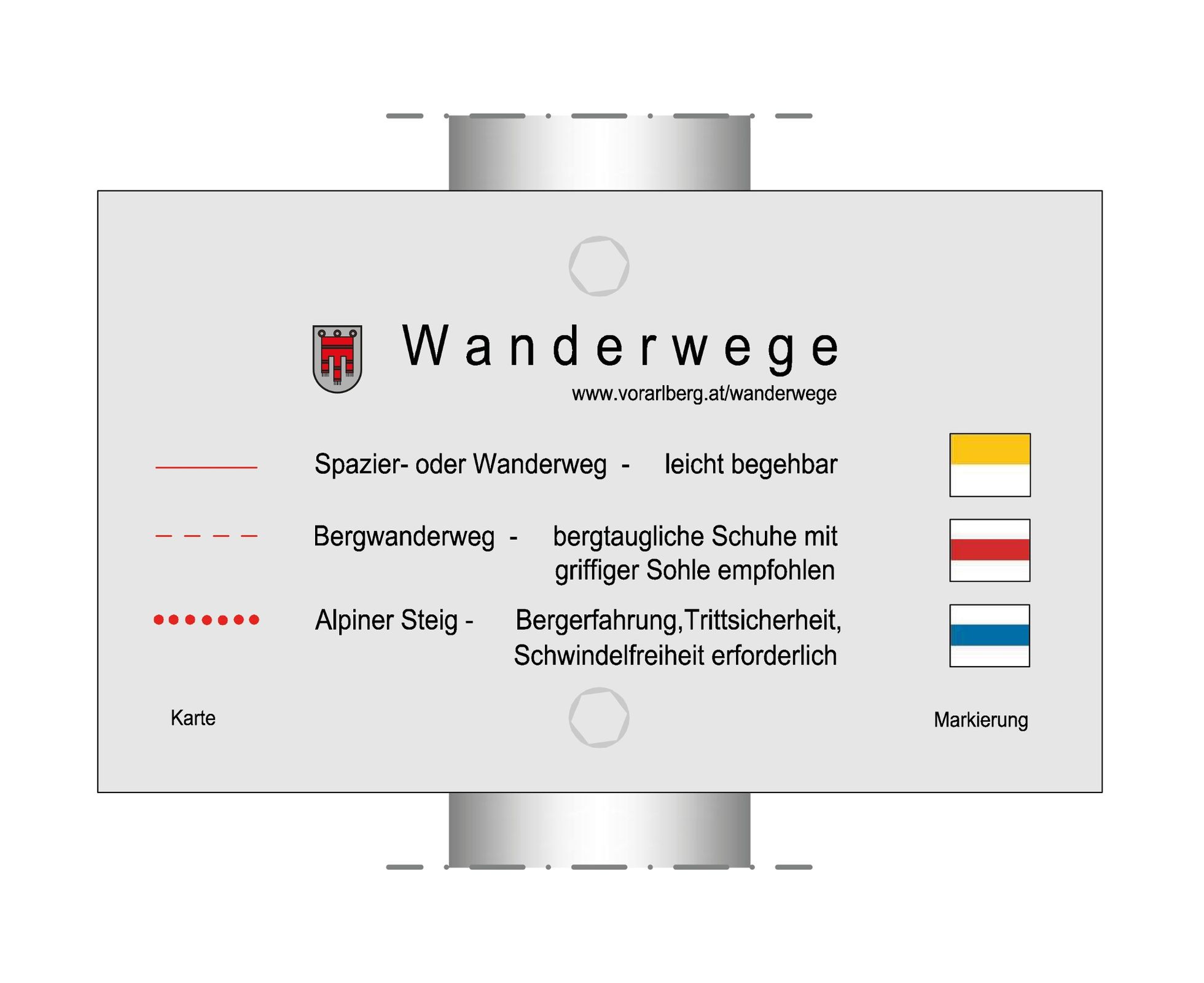
- Difficulty
-
medium
- Rating
-
- Route
-
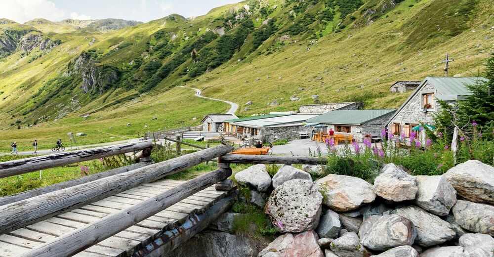
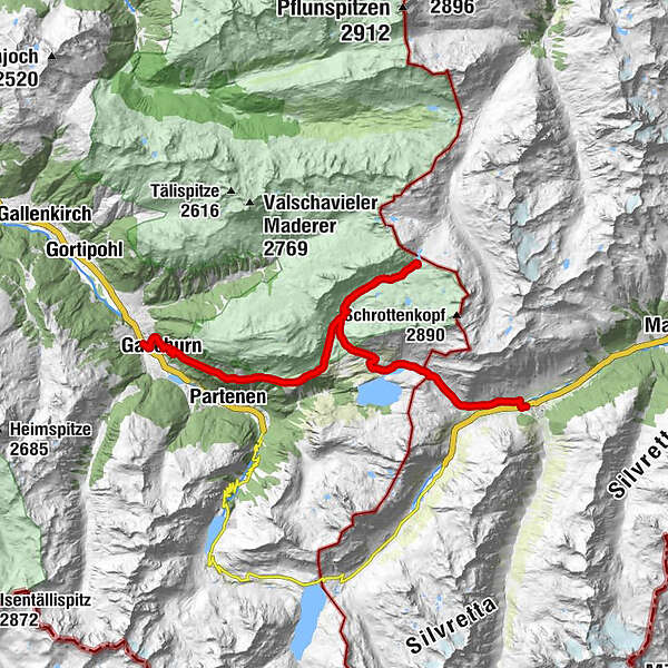
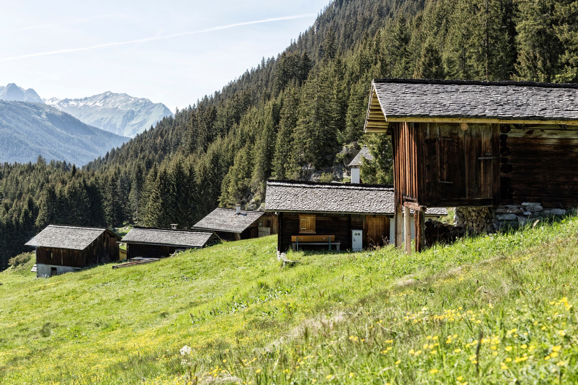
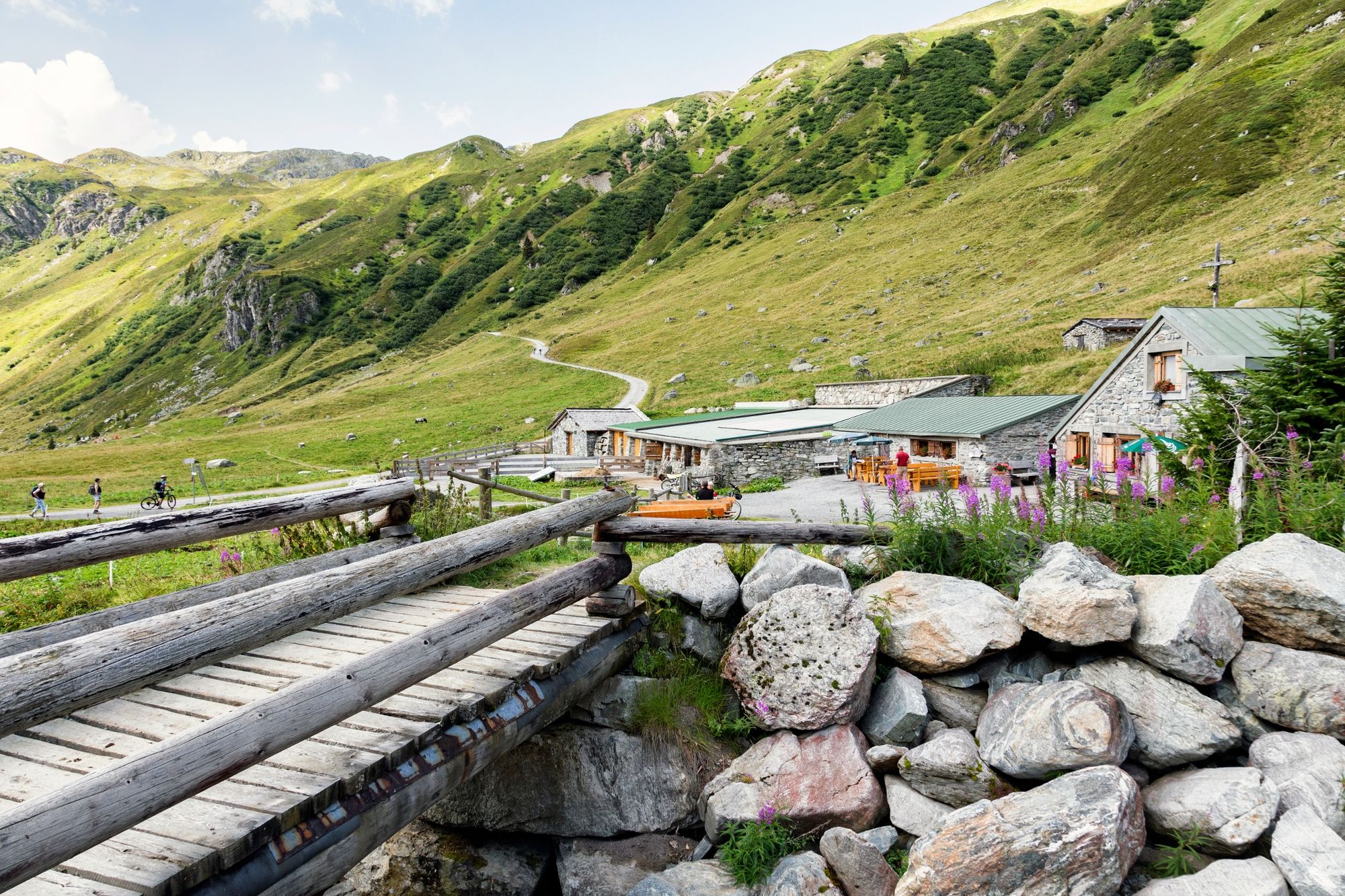
Gaschurn1.1 kmAußertafamunt2.8 kmInnertafamunt3.6 kmAlpstöbli Tafamunt3.9 kmAlpe Verbella9.0 kmWinterjöchle (2,272 m)12.5 kmNeue Heilbronner Hütte12.7 kmAlpe Verbella16.3 kmAlpengasthof Zeinisjoch19.3 kmKleinzeinis22.1 kmLandle24.3 kmGaltür (1,582 m)24.5 kmWinkl24.6 kmEgg24.6 km
- Best season
-
JanFebMarAprMayJunJulAugSepOctNovDec
- Highest point
- 2,276 m
- Endpoint
-
Galtür, Ortsmitte
- Height profile
-


-

-
AuthorThe tour Der Landschaft auf der Spur – Landschafts- und Kulturpfad Gaschurn-Partenen-Galtür is used by outdooractive.com provided.
GPS Downloads


General info
Refreshment stop
A lot of view
Other tours in the regions
-
Klostertal
1789
-
Gaschurn - Partenen
355