Lechweg - from the source to the fall (1st stage)


- Brief description
-
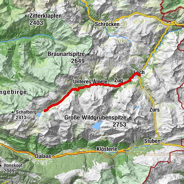
This easy long-distance hiking trail is the first section of the 125 km long Lechweg. The 14km long trail leads along the Lech past the Capricorn Monument, through the Lech Plant Garden and one of the last wild river landscapes in Europe to Zug and then on to Lech.
- Difficulty
-
medium
- Rating
-
- Starting point
-
Bus stop "Formarinsee"
- Route
-
Formarinalpe0.1 kmZug10.9 kmLech (1,444 m)14.0 km
- Best season
-
JanFebMarAprMayJunJulAugSepOctNovDec
- Description
-
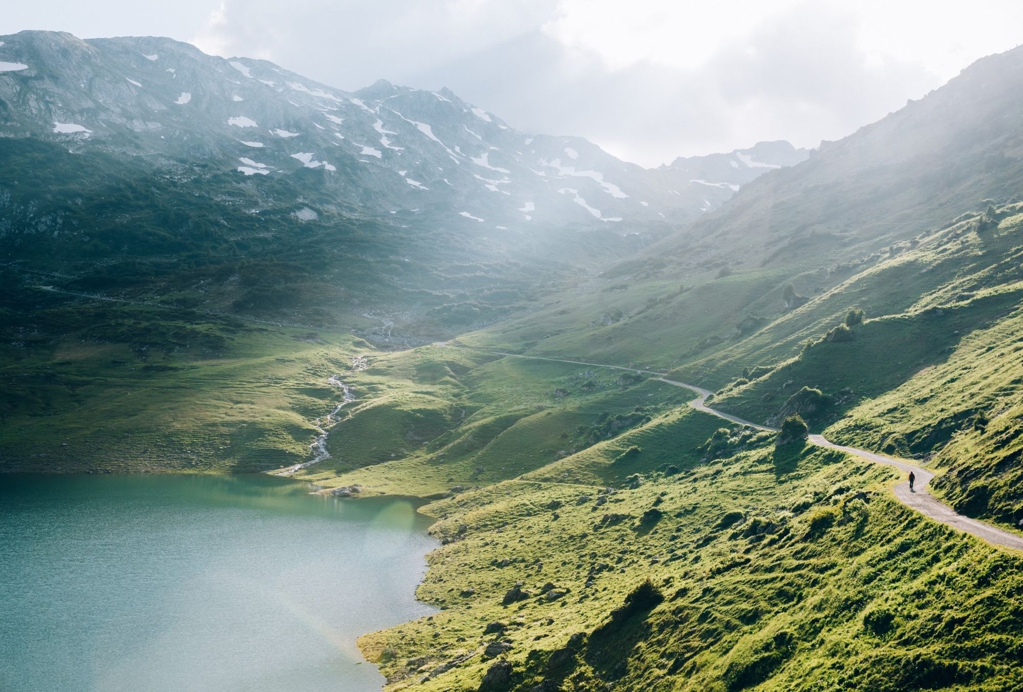
The first stage of the Lechweg starts at Austria's most beautiful place in 2015, the lake Formarinsee. From here you hike the first stage of the Lechweg. Along Alpe Formarin, past Gasthaus Älpele, you reach Zug and the fish pond. Now it goes along the Lechuferweg, past a Kneipp facility and barbecue sites back to the starting point of the hike in Lech.
- Directions
-
From the Post Office starting point, take the hiking bus to Lake Formarin. At the terminus, a slightly sloping panorama leads along the southern goods route to Lake Formarin, where the Lech is one of the last wild river landscapes in Europe. The same way back to the bus stop and north on the road to Alpe Formarin. After the alp, a meadow path branches off to the right, which leads past the Capricorn Monument over the alpine meadows. At the next fork in the road, take the marked path to the left and follow the still young Lech south into the valley. About 9 km from the bus stop Formarinsee, you reach the Gasthaus Älpele. Ideal for a short rest. The stony Lechuferweg leads to the fishpond in Zug. From here you return to Lech via the "Lechuferweg" already described.
The path is not suitable for prams. On your way you will pass interesting rest areas, idyllic barbecue areas and cosy inns. This first stage ends in Lech. The second stage continues from Lech to Warth. If you enjoy the Lechweg, you can continue hiking as far as Füssen in Allgäu. - Highest point
- 1,874 m
- Endpoint
-
Lech am Arlberg
- Height profile
-

- Equipment
-
Good footwear (ankle high, profile sole), rain protection, Lech Card and bus timetable.
- Safety instructions
-
EMERGENCY CALL:
140 Alpine Emergencies Austria-wide
144 Alpine Emergencies Vorarlberg
112 Euro emergency call (works with any mobile phone/network)
www.vorarlberg.travel/sicherheitstipps
- Tips
-
Special features: Further information on the long-distance hike is available at the Lech Zürs Tourist Office or at www.lechweg.com
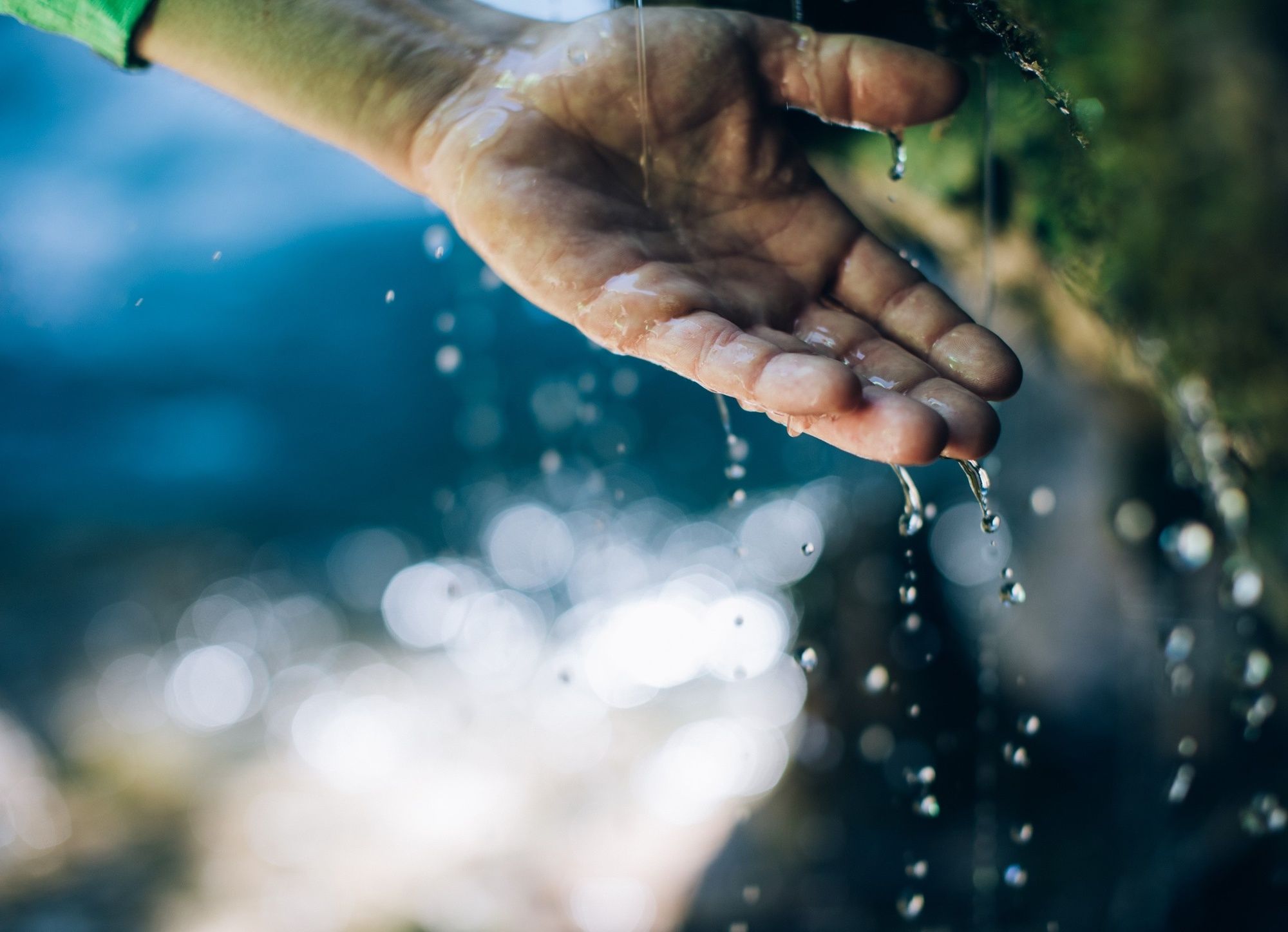
Sights: The Formarinsee Lake – a natural mountain lake where fishing is also permitted. You can obtain a fishing permit at the Lech Zürs Tourist Office.
Possible stops: Gasthaus Älpele, restaurants in Zug and Lech am Arlberg.
- Additional information
- Arrival
-
From Germany: Take the A96 motorway to Bregenz from there on the A14 motorway to Bludenz, continue on the S16 to the Lech Zürs am Arlberg exit. Follow the B197 up to Alpe Rauz, turn left here onto the B198 through Flexengalerie and over the Flexenpass to Lech Zürs am Arlberg.
From Switzerland: Via the A13 motorway and the Feldkirch, Hohenems or Lustenau border crossing on the A14 motorway to Bludenz. Continue on the S16 until exit Lech Zürs am Arlberg. Follow the B197 up to Alpe Rauz, turn left here onto the B198 through Flexengalerie and over the Flexenpass to Lech Zürs am Arlberg.
From Austria: Via the Inntalautobahn A12 and then via the S16 to the exit St. Anton am Arlberg (Arlberg Pass). Follow the B197 first through St. Anton, then through St. Christoph and over the Arlbergpass to Alpe Rauz. Turn right here onto the B198, drive through Flexengalerie and over the Flexenpass to Lech Zürs am Arlberg.
- Public transportation
-
By train to Langen am Arlberg station or St. Anton am Arlberg. From there, buses (No. 750+760) run regularly to Lech Zürs am Arlberg.
- Parking
-
You can either park your vehicle directly at your host or park it in the underground garage in Anger. The underground car park is located directly in the centre of town opposite Raiffeisenbank Lech.
-

-
AuthorThe tour Lechweg - from the source to the fall (1st stage) is used by outdooractive.com provided.


General info
-
Klostertal
1788
-
Lech - Zürs am Arlberg
512


