- Brief description
-
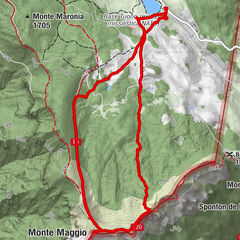
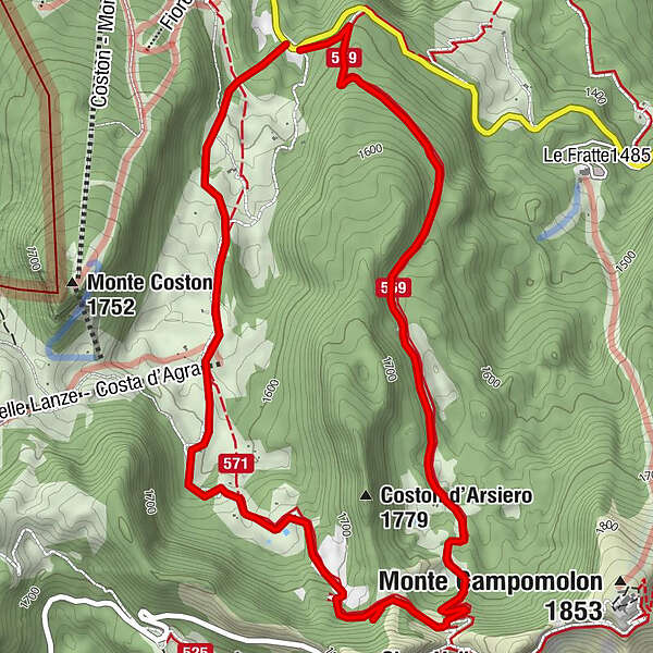
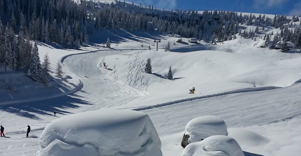
A beautiful route on the Fiorentini plateau, in a spectacular alpine environment, through fir forests and pastures. It is of medium difficulty, especially in the intermediate section.
- Difficulty
-
medium
- Rating
-
- Route
-
Dolina Campomolon4.2 km
- Best season
-
AugSepOctNovDecJanFebMarAprMayJunJul
- Description
-
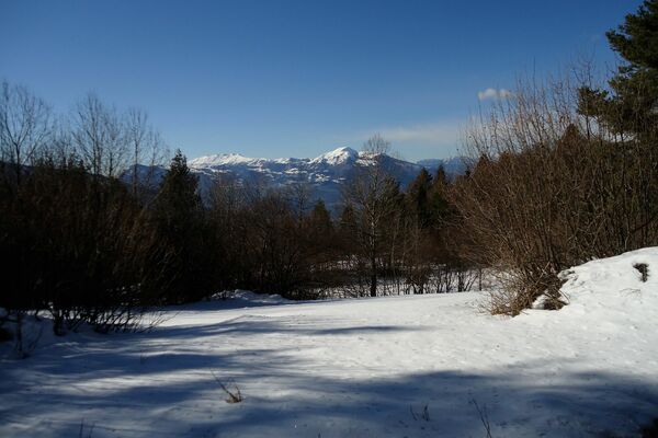
It is an extension of the Val delle Lanze route and turns between the same valley and Mount Coston d'Arsiero. In addition to the natural environment, the views are of great value, in particular - from the Campomolon saddle - the view to the north, over the Fiorentini plateau, the plateau of Forte Cherle and, beyond the furrow of the Val d'Astico, over the Lavarone and Luserna highlands.
- Directions
-
From the car park of the Fiorentini hotel, we move to the right and, after a short, steep slope, we enter Val delle Lanze. The route follows the lower eastern slope of Mount Coston. After leaving the forest cover, the valley opens up and offers us beautiful alpine views. We continue slightly uphill until we reach the upper head of the valley furrow. When we come in sight of the departure station of the chairlift for Costa d'Agra, we head to the left and, on a medium/good climb, ascend the slope keeping Mount Coston d'Arsiero on the left. On reaching the top of the slope, we reach the Bocca di Campomolon, a passageway that leads to the Valbona - Forte Campomolon pass road. The point is scenic and worth a stop to admire the surrounding valleys, plateaus and peaks. We do not head towards the fort, which is not our destination; instead, we turn decisively to the left and follow the forest road downhill that leads down to the valley, to the Fiorentini area, not far from our starting point. When we reach the provincial road, we turn left and shortly reach our starting point.
- Highest point
- 1,756 m
- Endpoint
-
Bocca di Campomolon
- Height profile
-
 © outdooractive.com
 - Safety instructions
-
Please note that the practicability of the itineraries in a mountain environment is strictly linked to the contingent conditions and is therefore influenced by natural phenomena, environmental changes and weather conditions. For this reason, the information contained in this page may have changed. Before leaving for a tour, make sure the path you will approach is still accessible by contacting the owner of the mountain hut, the alpine guides or the visitor centres of the nature parks, the info offices of the local tourist board.
- Author
-
The tour Giro del Coston d'Arsiero is used by outdooractive.com provided.