- Brief description
-
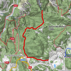
The hike takes place in the beautiful Val delle Lanze, on the Fiorentini plateau, bordered by the rocky relief of Mount Coston to the west and the relief of Mount Coston d'Arsiero to the east. In the highest part it connects with the Val dei Tre Sassi.
- Difficulty
-
easy
- Rating
-
- Best season
-
AugSepOctNovDecJanFebMarAprMayJunJul
- Directions
-
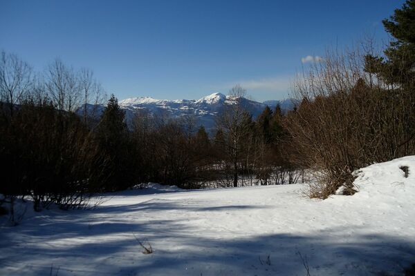
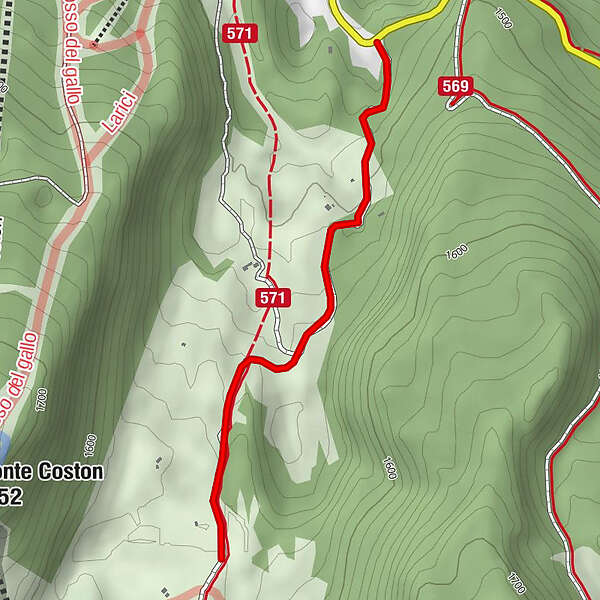
It is worth undertaking this excursion to grasp the truly unique alpine beauty of the valley. Having reached the upper head of the valley, i.e. the departure station of the chairlift to Costa d'Agra, it is possible to continue and extend the exit by turning left to climb up to Forcella Molon (a fairly demanding stretch) and from here return to the starting point by descending the convenient road that takes you back to the starting point. In this case, take into account the addition of walking time. During the First Great World War (1914-1918), in the autumn of 1915, Monte Coston was the scene of fierce fighting for strategic possession of the high ground. The Italian line was based on the ridge of the opposing Monte Coston d'Arsiero.
- Highest point
- 1,571 m
- Endpoint
-
Val delle Lanze
- Height profile
-
 © outdooractive.com
 - Safety instructions
-
Please note that the practicability of the itineraries in a mountain environment is strictly linked to the contingent conditions and is therefore influenced by natural phenomena, environmental changes and weather conditions. For this reason, the information contained in this page may have changed. Before leaving for a tour, make sure the path you will approach is still accessible by contacting the owner of the mountain hut, the alpine guides or the visitor centres of the nature parks, the info offices of the local tourist board.

- Author
-
The tour Giro della Val delle Lanze is used by outdooractive.com provided.