

© CAI Dolomiti Bellunesi - Stefano Zannini

© CAI Dolomiti Bellunesi - Stefano Zannini

© CAI Dolomiti Bellunesi - Stefano Zannini

© CAI Dolomiti Bellunesi - Stefano Zannini

© CAI Dolomiti Bellunesi - Stefano Zannini

© CAI Dolomiti Bellunesi - Stefano Zannini

© CAI Dolomiti Bellunesi - Stefano Zannini

© CAI Dolomiti Bellunesi - Stefano Zannini

© CAI Dolomiti Bellunesi - Stefano Zannini

© CAI Dolomiti Bellunesi - Stefano Zannini
Tour data
21.23km
362
- 1,565m
1,227hm
1,233hm
02:30h

CAI Dolomiti Bellunesi
- Brief description
-
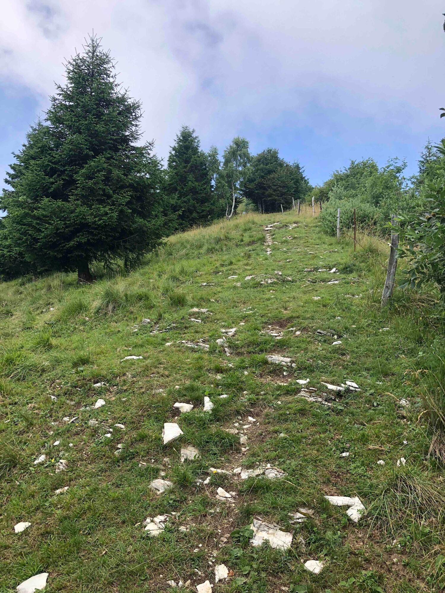
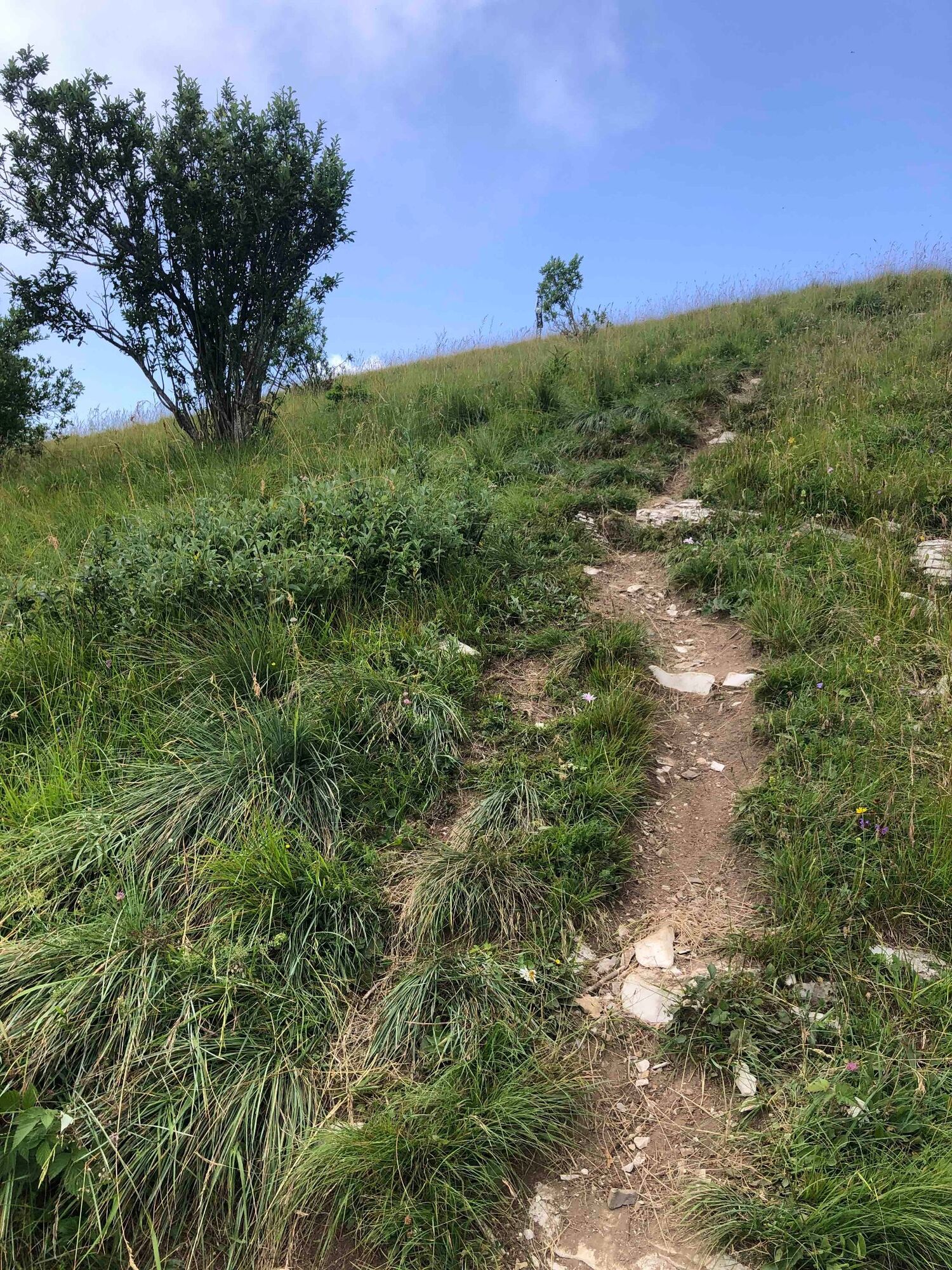
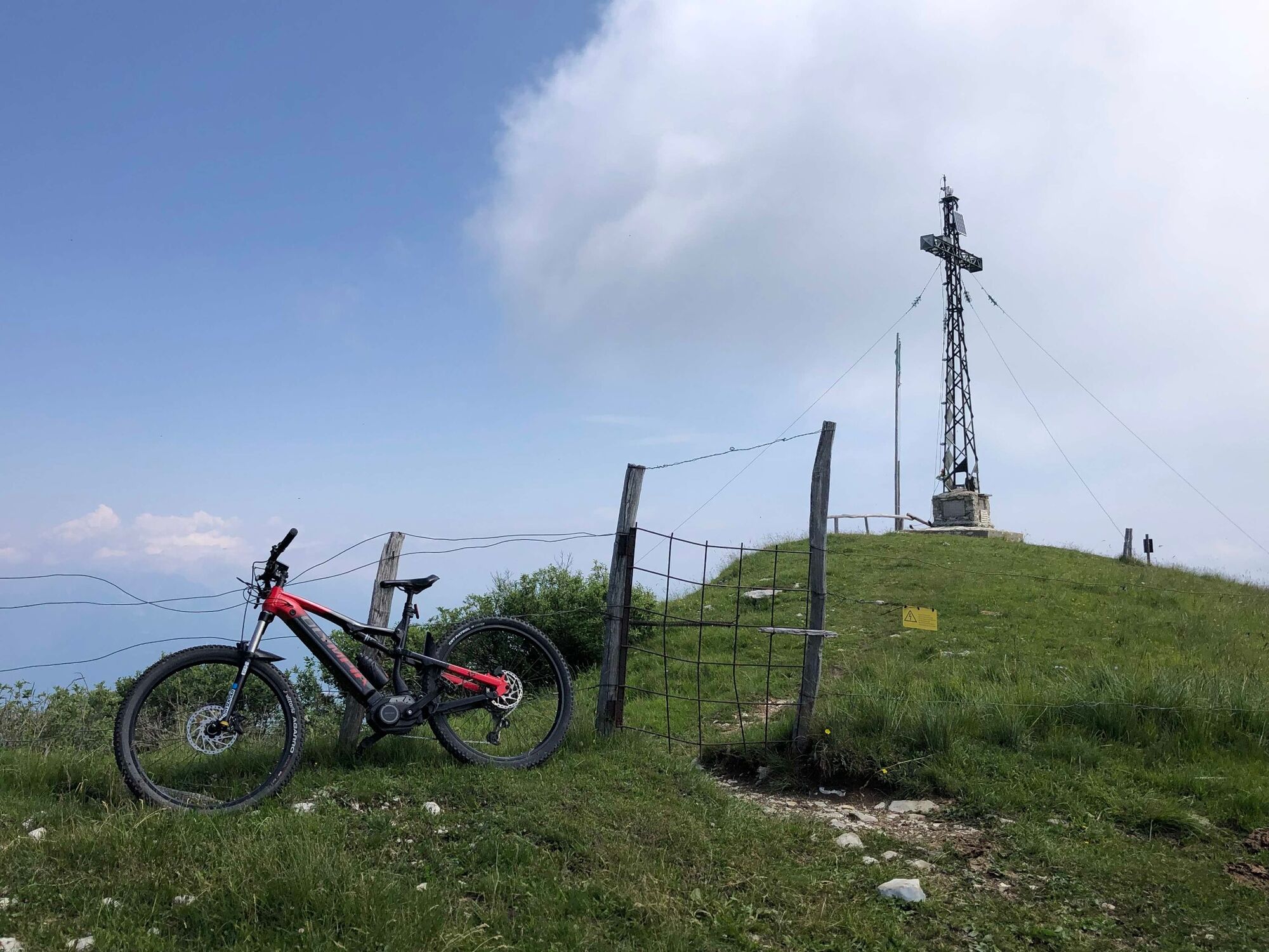
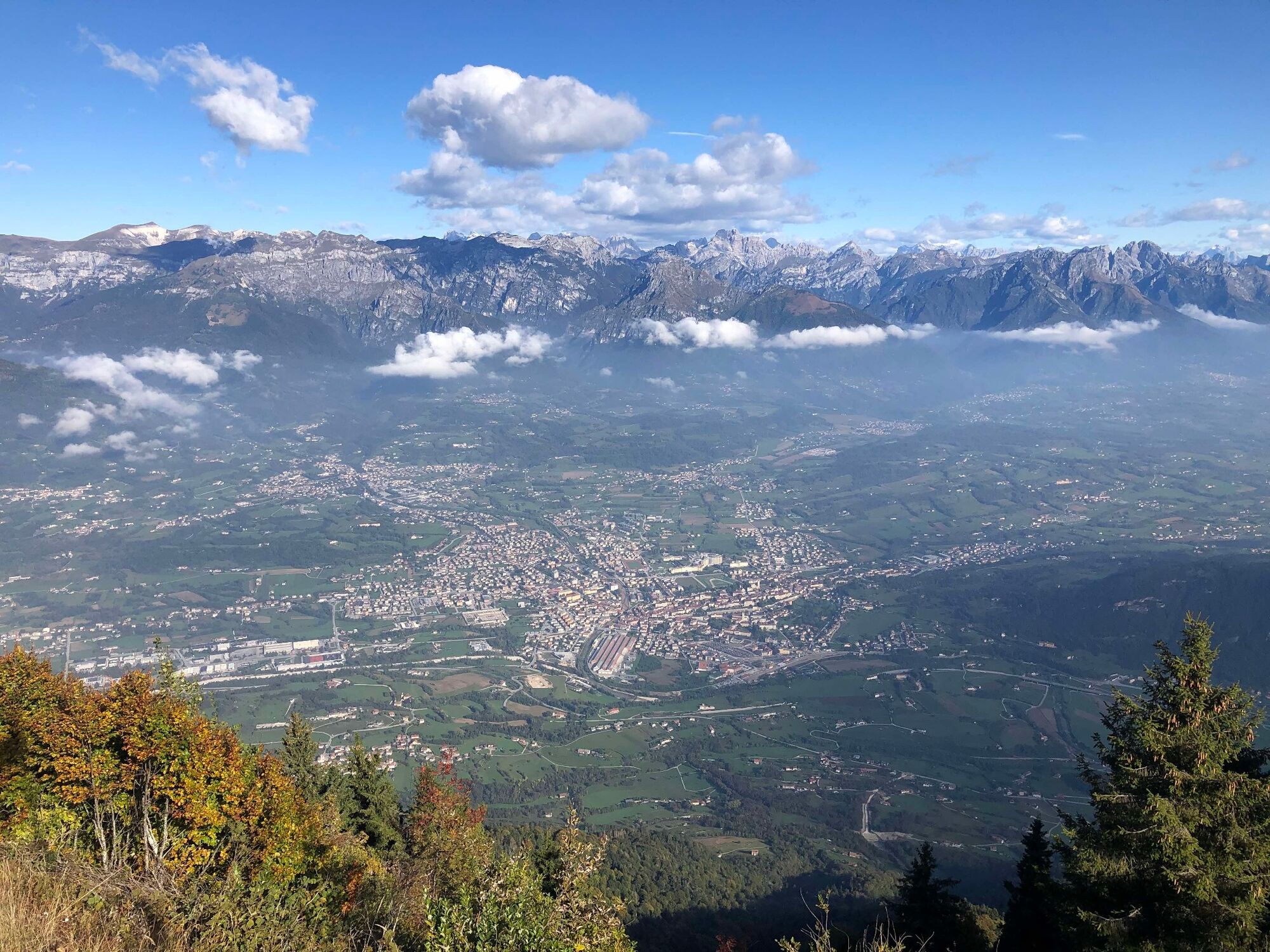
Percorso ad anello che permette di raggiungere in e-bike il Monte Tomatico nel Gruppo del Grappa.
- Difficulty
-
medium
- Rating
-
- Route
-
Tomo0.0 kmFeltre0.0 kmBorghét0.2 kmLe Mura5.8 kmCasèra Boemia8.5 kmRocca Brenta8.6 kmMonte Tomatico (1,595 m)9.2 kmStalle Tomatico10.3 kmCasère da Ton11.0 kmCaseròta13.9 kmPorcen (386 m)18.9 kmDe Cet19.0 kmBorghét20.9 kmFeltre21.1 kmTomo21.2 km
- Best season
-
JanFebMarAprMayJunJulAugSepOctNovDec
- Highest point
- 1,565 m
- Endpoint
-
Tomo
- Height profile
-
 © outdooractive.com

-

-
AuthorCAI Dolomiti BellunesiThe tour Il Monte Tomatico da Tomo is used by outdooractive.com provided.
GPS Downloads


General info
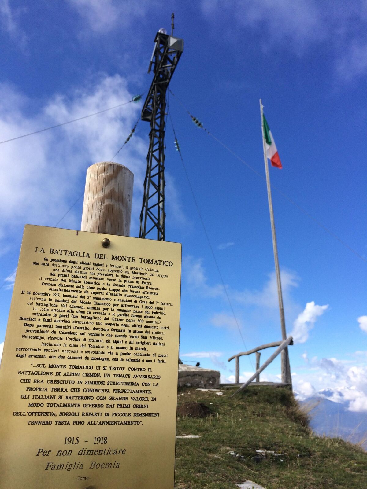
Cultural/Historical
Flora
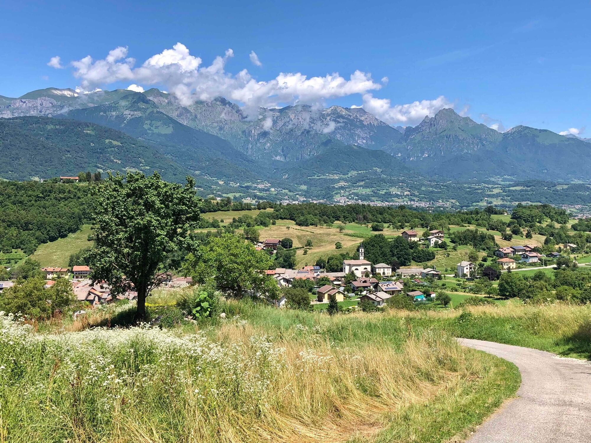
A lot of view
Other tours in the regions
-
Treviso
5
-
Area Feltrino
6
-
Feltre
5