


- Brief description
-
Peschiera del Garda, Mantova
- Difficulty
-
easy
- Rating
-
- Starting point
-
Peschiera del Garda
- Route
-
Peschiera del Garda0.0 kmSalionze5.0 kmMonzambano8.1 kmCaucciola9.4 kmSpeck Stube Valeggio11.7 kmValeggio sul Mincio12.8 kmChiesa di San Marco Evangelista13.5 kmBorghetto13.6 kmCampagnola15.8 kmCorte Palazzina18.4 kmPozzolo sul Mincio21.1 kmMarengo26.7 kmSoave34.3 kmPonte Rosso40.9 kmMantua44.2 km
- Best season
-
JanFebMarAprMayJunJulAugSepOctNovDec
- Description
-
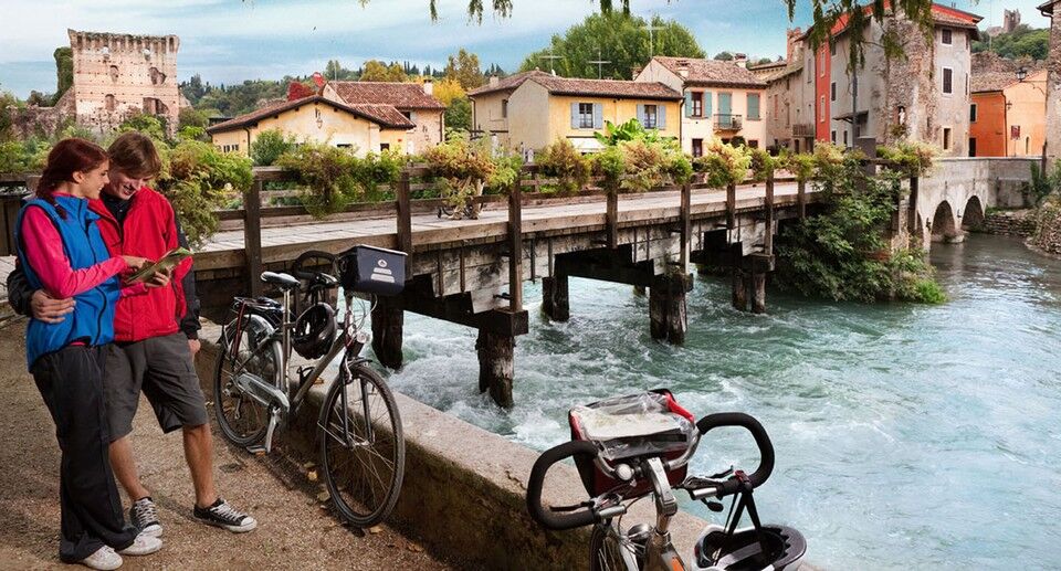
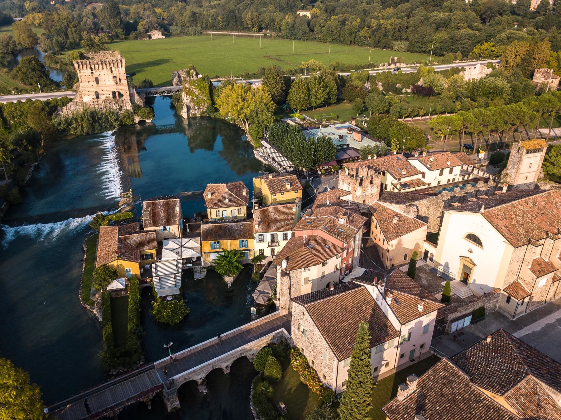
The route begins in Peschiera del Garda, a walled city which was originally an ancient Roman fort, then a castle of the Della Scala family, later a fortified city of the Venetian Republic, and finally a Napoleonic fortress and nineteenth century Hapsburg stronghold. After leaving Peschiera, the road runs along the river and passes through the gorgeous countryside of the morainal hills with fields of wheat and other cereals as well as vineyards. After passing through the small town of Salionze, heading towards Mantua, you can admire the beautifully preserved old town centre of Monzambano and its castle. After about 15 kilometres you come to Valeggio sul Mincio, a town which preserves the original medieval fortifications built by the Della Scala family, the lords of Verona. It is worth making a brief detour to visit the Sigurtà Park, one of the most famous and attractive gardens in Italy, and the handful of houses of Borghetto, where you can admire the old water mills and the Visconteo Bridge. Coming back to the cycle path, you proceed until Pozzolo where you can have a break at the nature reserve of Centrale del Corno. Along the cycle path there are several signs which direct visitors to make possible detours towards the special conservation areas of Parco Bertoneand Bosco Fontana. The last stretch of the river Mincio widens to form a series of lakes. After passing Lake Superiore you enter the historic centre of the city of Mantua, which still preserves the architectural gems of the Gonzagas.
- Highest point
- 75 m
- Endpoint
-
Mantova
- Height profile
-
 © outdooractive.com
 - Safety instructions
-
Difficoltà: facile Lunghezza: 44 Km
- Tips
-
An easy, protected and generally paved route. During the day you will encounter the landscapes of the lake, the relaxing scenery of the river, the lighthearted atmospheres of the countryside, and the charm of a great city of art. Make sure you visit Valeggio sul Mincio. It’s necessary to organise transport to return to the starting point.
- Additional information


- Author
-
The tour E6 - Cycle path of the river Mincio is used by outdooractive.com provided.

