Winter
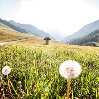
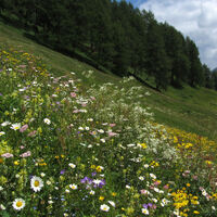
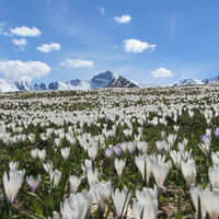
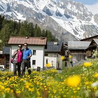
Summer
Weather
Webcams
Accommodations
Tours
Search history
Search suggestions
No results found
Search
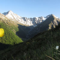
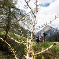
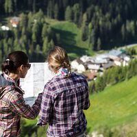
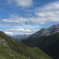
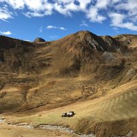
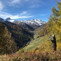
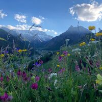
Hiking
Home
Summer Schweiz
Graubünden
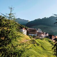
Engadin Scuol Zernez
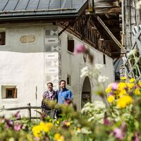
Tschlin
Tours
Hiking
Region
Accommodations
Weather
Webcams
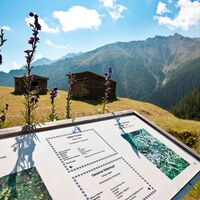
Leisure tips
Tours
Sports
Photos
Offers
Sports provider
Forum
Ski resort
Hiking
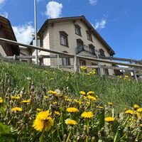
Tschlin
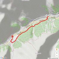
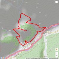
Map
show
hide
Filter tours
Tour type
(All)
Hiking (169)
Thematic route (15)
Mountain hiking (2)
long-distance walking trail (2)
Pilgrimage (1)
Full-text search
Fitness
min.
1 easy
2 moderate
3 medium difficulty
4 difficult
5 very difficult
6 extremely
max.
1 easy
2 moderate
3 medium difficulty
4 difficult
5 very difficult
6 extremely
Technique
min.
1 easy
2 moderate
3 medium difficulty
4 difficult
5 very difficult
6 extremely
max.
1 easy
2 moderate
3 medium difficulty
4 difficult
5 very difficult
6 extremely
Length (km)
Altitude metres
other filters
Search
Reset
Seite 4
von 189 Tours.
sorted by
Relevanz
Relevance
längste Distanz
kürzeste Distanz
longest duration
shortest duration
most altitude meters
fewest altitude meters
high condition
low condition
high technology
low technology
Name A-Z
Name Z-A
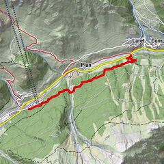
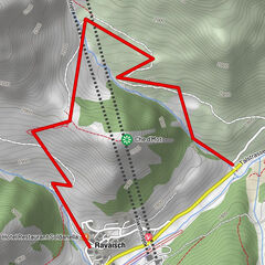
Talwanderweg Inner Wald
Hiking
3.9
km
01:12
h
75
hm
1,696 - 1,864
m
Inn Forest Valley Hike
easy
Hiking
3.69
km
01:20
h
61
hm
1,696 - 1,866
m
Technique
Fitness
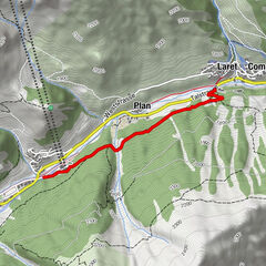
Talwanderweg dem Schergenbach entlang
Hiking
3.68
km
01:02
h
34
hm
1,695 - 1,820
m
Spring trail valley
easy
Thematic route
3.61
km
00:55
h
3
hm
1,688 - 1,818
m
Technique
Fitness
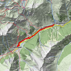
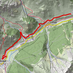
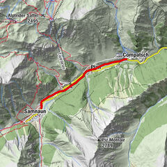
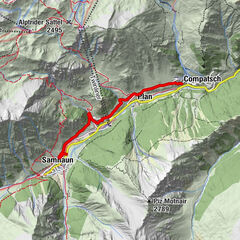
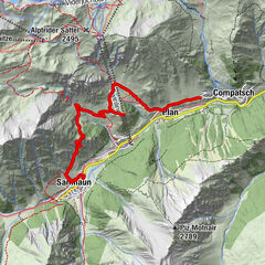
Samnaun Valley Hike on the South Side
easy
Hiking
3.83
km
01:10
h
14
hm
1,750 - 1,823
m
Technique
Fitness
Valley Hike Along Schergenbach
easy
Hiking
3.34
km
00:55
h
-
1,687 - 1,814
m
Technique
Fitness
Talwanderung Samnaun am Südhang
Hiking
4.05
km
01:10
h
17
hm
1,734 - 1,822
m
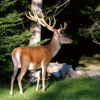
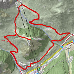
Wild- und Tierlehrpfad Samnaun
Hiking
2.38
km
00:49
h
36
hm
1,700 - 1,809
m
Game and Animal Nature Trail Samnaun
easy
Thematic route
2.3
km
00:45
h
16
hm
1,706 - 1,809
m
Technique
Fitness
Mot Grond
Hiking
6.8
km
02:35
h
410
hm
1,750 - 2,128
m
Mot Grond and Chè d’Mot
medium
Hiking
3,0
7.14
km
03:00
h
384
hm
1,746 - 2,113
m
Technique
Fitness
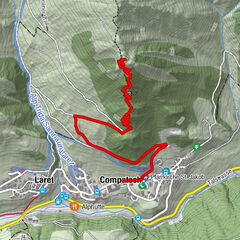
Pflanzenpfad Samnaun
Hiking
4.95
km
01:46
h
260
hm
1,789 - 2,049
m
Samnaun Plant Trail
easy
Thematic route
4.96
km
01:50
h
252
hm
1,790 - 2,045
m
Technique
Fitness
Pflanzenpfad
medium
Hiking
2.9
km
02:00
h
197
hm
1,756 - 2,007
m
Technique
Fitness
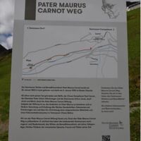
Pater Maurus Carnot Trail
easy
Thematic route
0.93
km
00:20
h
19
hm
1,701 - 1,727
m
Technique
Fitness
Pater Maurus Carnot Weg
Hiking
0.93
km
00:16
h
25
hm
1,699 - 1,727
m
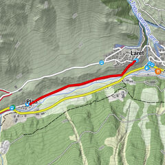
Planer Salaas
medium
Hiking
5.72
km
02:55
h
712
hm
1,779 - 2,508
m
Technique
Fitness
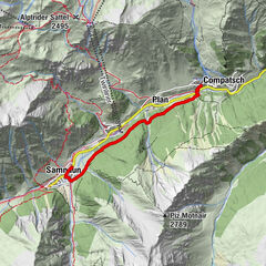
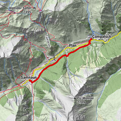
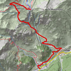
Samnaun-Compatsch – Piz Urezza
medium
Hiking
4.51
km
02:10
h
354
hm
1,713 - 2,083
m
Technique
Fitness
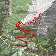
Spiss – Muttakopf
medium
Hiking
12.3
km
04:35
h
830
hm
1,636 - 2,495
m
Technique
Fitness
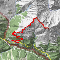
Kreuzjoch via Muttakopf
Hiking
19.1
km
07:45
h
1,417
hm
1,647 - 2,680
m
Pages:
previous
1
2
3
4
5
6
7
8
next
Tours by type
Hiking
Bike
Winter
Running
Alpine
Hiking
Thematic route
Mountain hiking
long-distance walking trail
Pilgrimage
Touren nach Regionen
Engadin Scuol Zernez
267
Engadin Samnaun Val Müstair
203
Gipfeltouren in der Region
Muttler (3,294 m)
4
Piz Lad (2,808 m)
6
Greitspitze (2,871 m)
7
Großmutzkopf (1,987 m)
7
Salaaser Kopf (2,744 m)
8
Piz Munschuns
6
Popular tours in the area
Panoramaweg Schöneben Haider Alm
easy
Hiking
5.78
km |
523
hm |
02:00
h
Reschenseerunde
Mountainbike
20.7
km |
251
hm |
01:08
h
Scuol – Pazos – Vastur – Chauennas (round tour)
medium
Winter hiking
8.93
km |
391
hm |
02:45
h
Scuol – Tuffarolas (Roundtour)
medium
Snowshoe
5.94
km |
354
hm |
02:30
h
Nearest resorts
Ramosch-Vnà
Nauders - Reschenpass
Spiss
Sent
Reschen
Favourite regions
Pontresina
St. Moritz
Maloja
Samnaun
Samedan
Engadin St. Moritz
Diavolezza
Celerina / Schlarigna
Flims Laax Falera
Sils
Corviglia
San Bernardino Mesolcina Calanca
St. Antönien
Corvatsch
Chur
Davos Klosters
Arosa Lenzerheide
Soglio
Klosters
Silvaplana
Raffle
Produkt-Paket für die ganze Familie
Primavera XXL-Gewinnspiel
No entries found.
The search is currently not available.
Please refine your search.
Local search results
(<= 25km)
More results
(> 25km)
%count% Search results
%name%
%type%
%elevation%
%population%
%lpButton%