
- Brief description
-
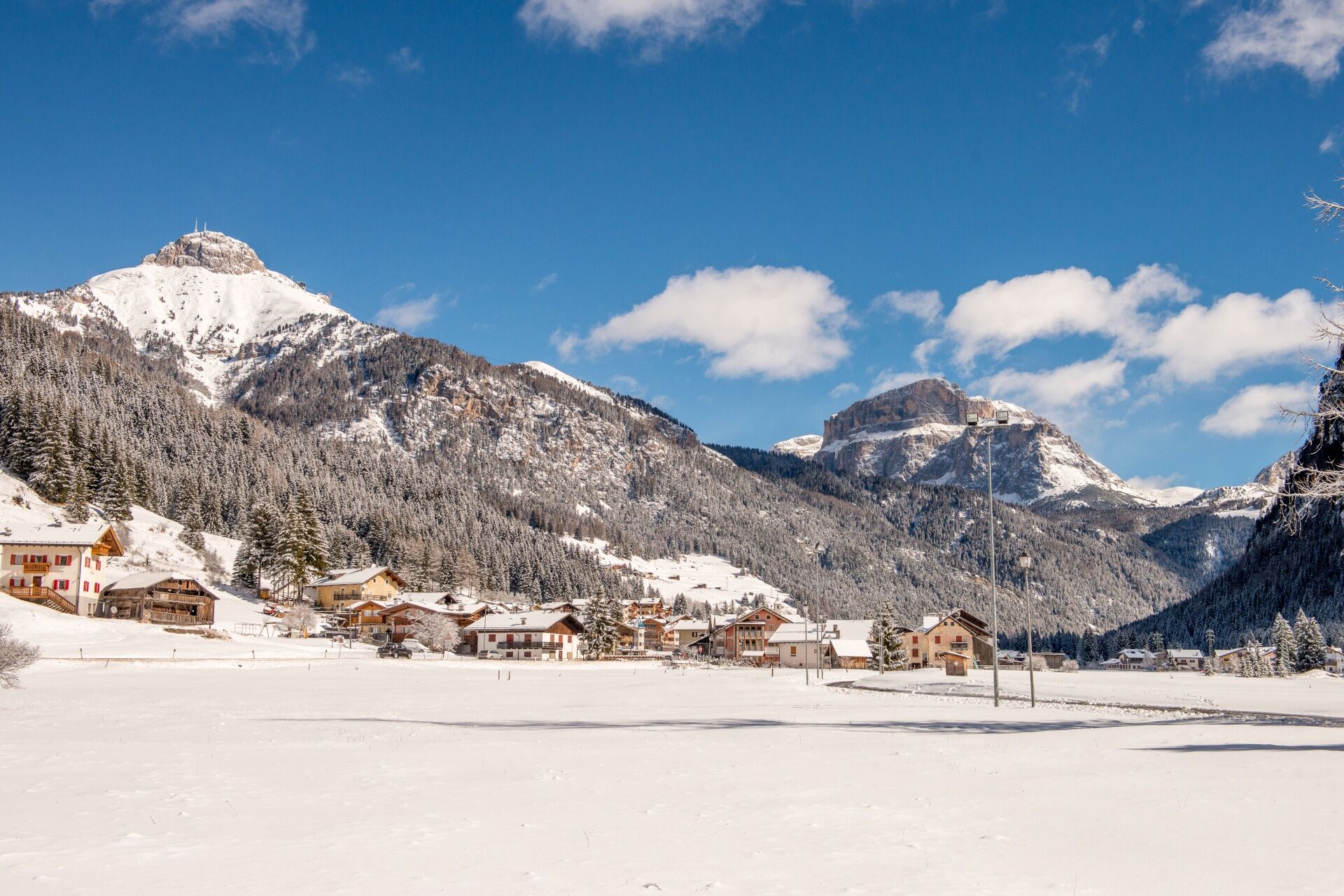
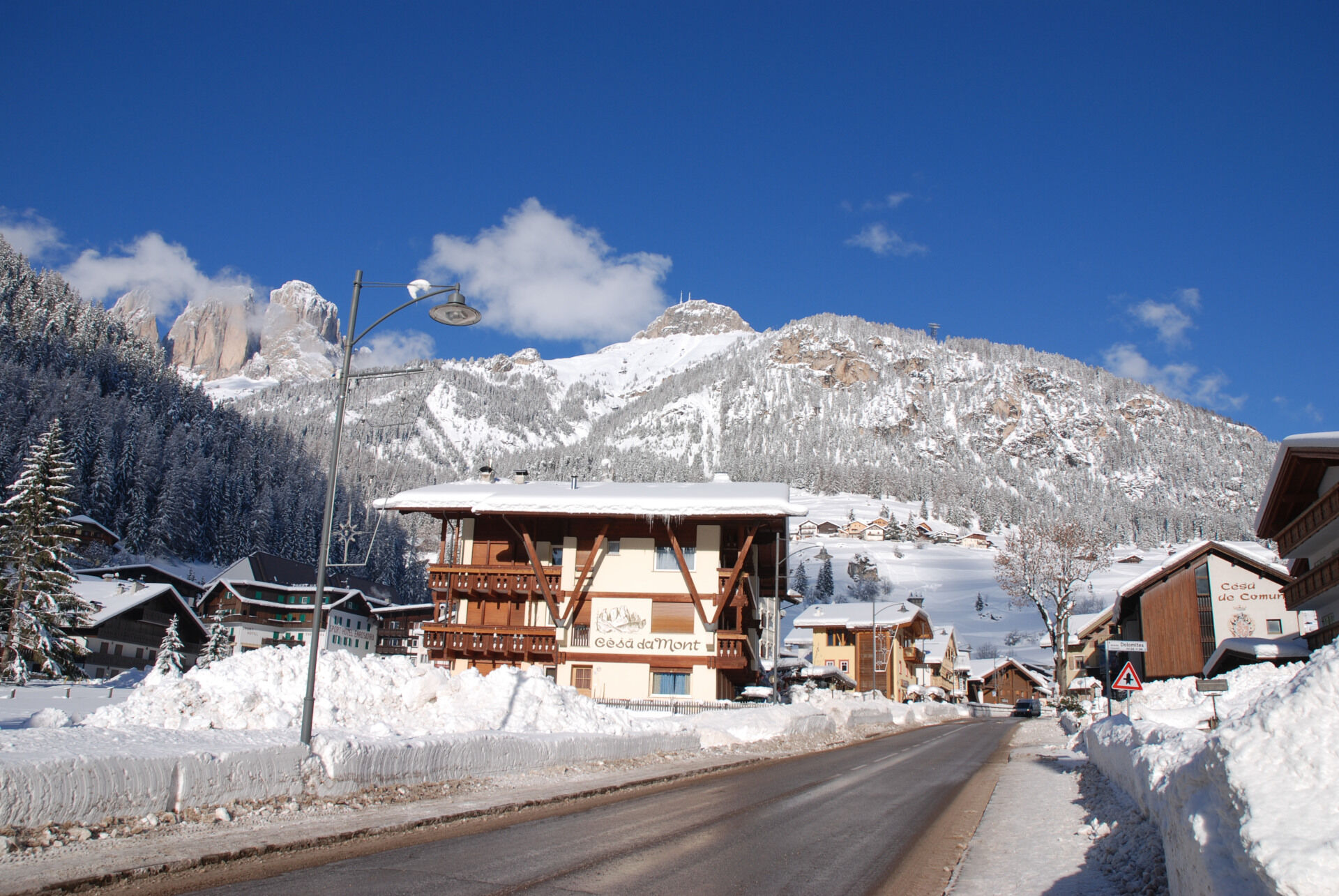
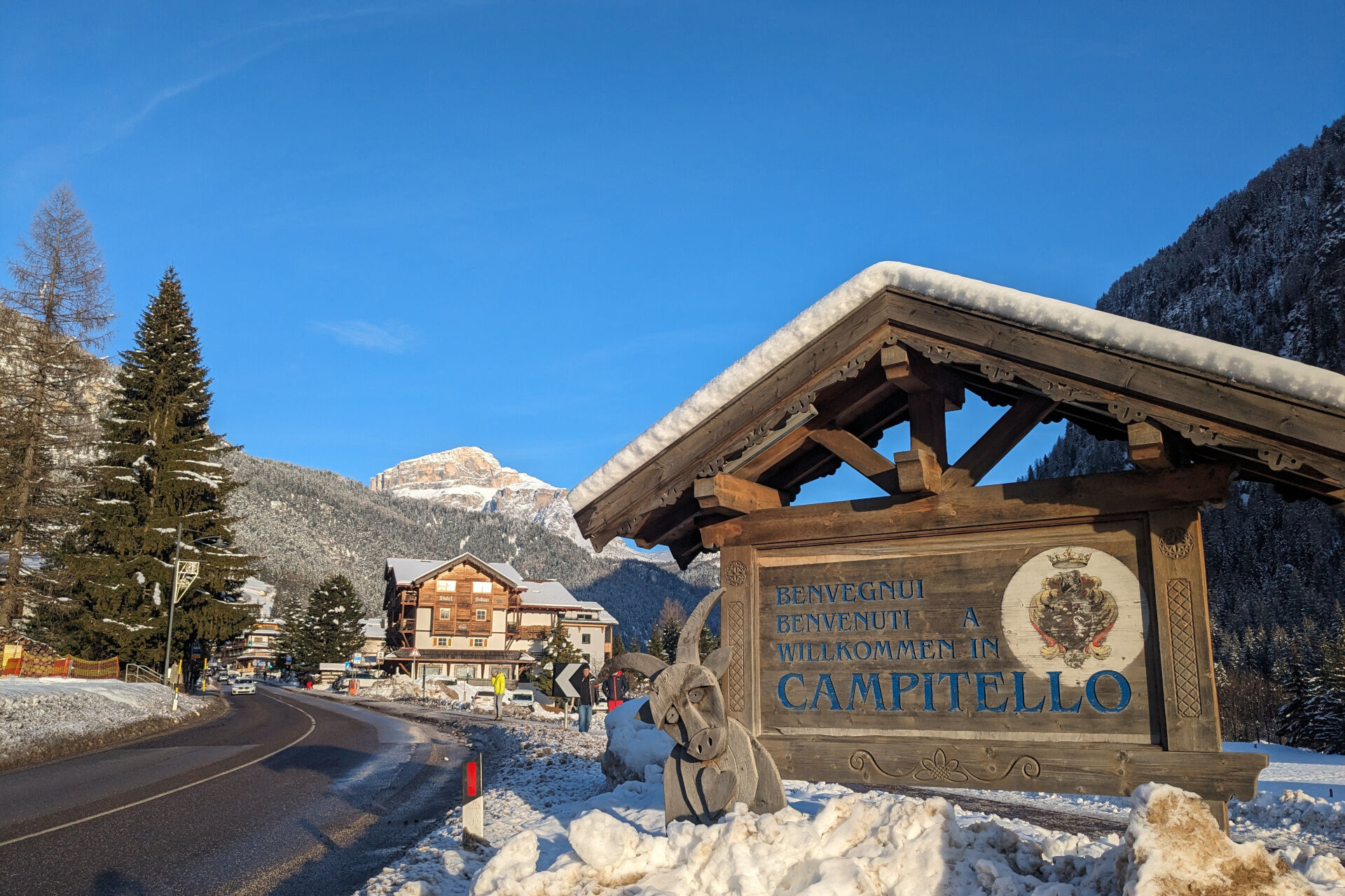
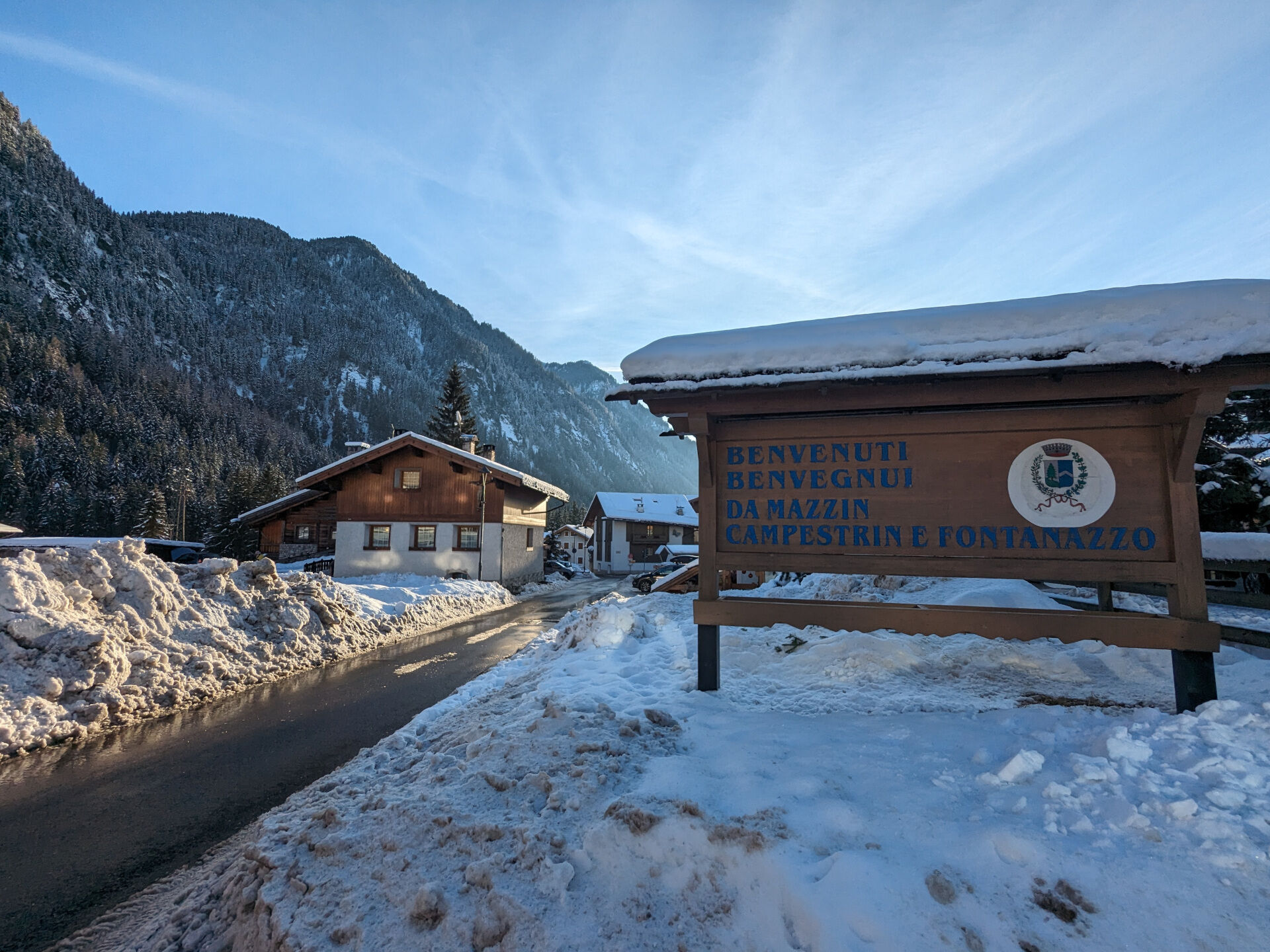
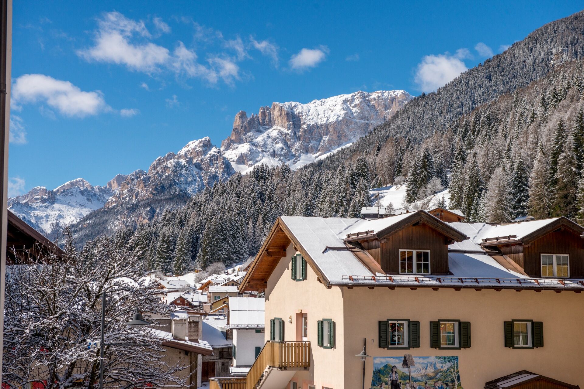
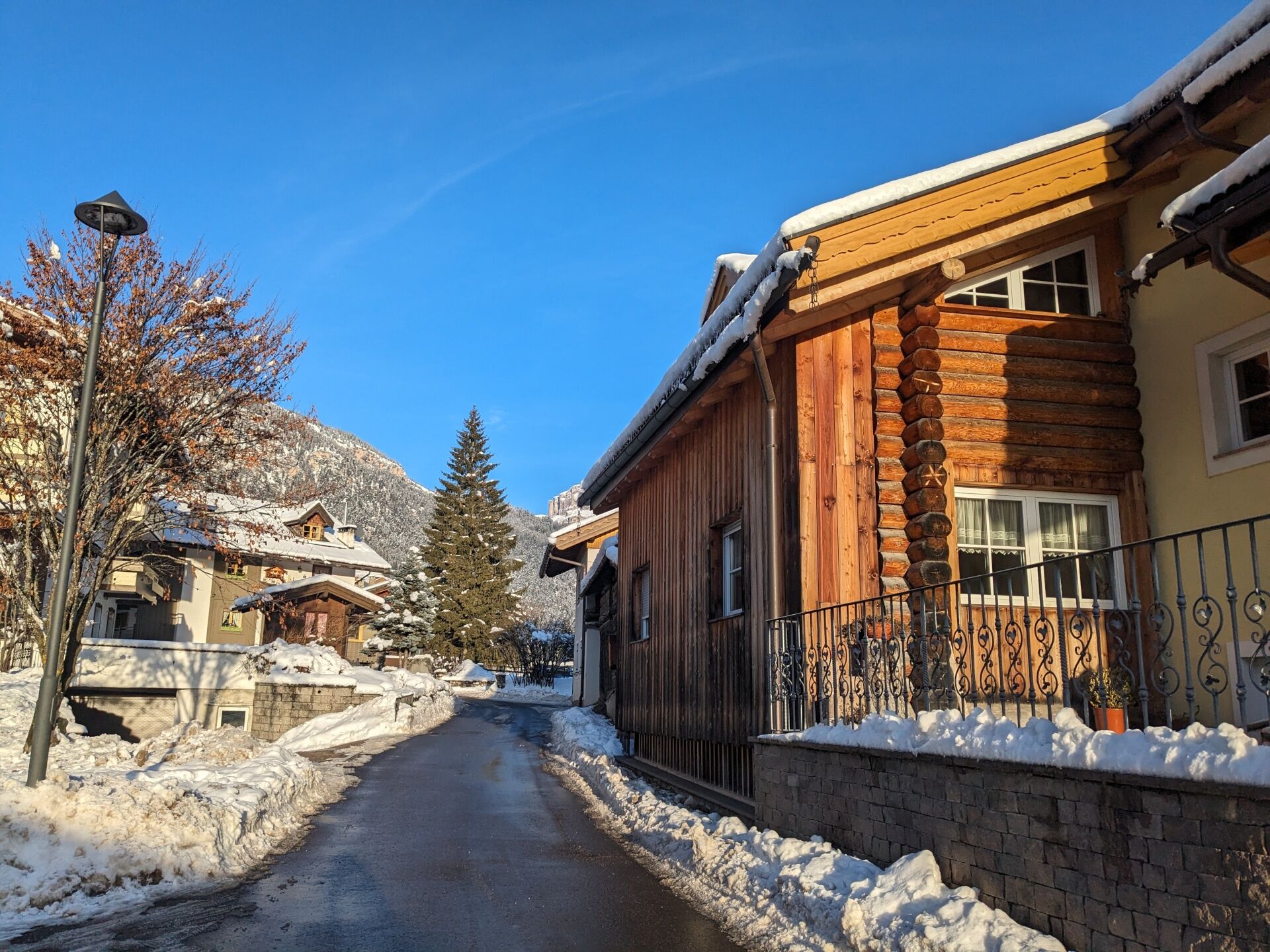
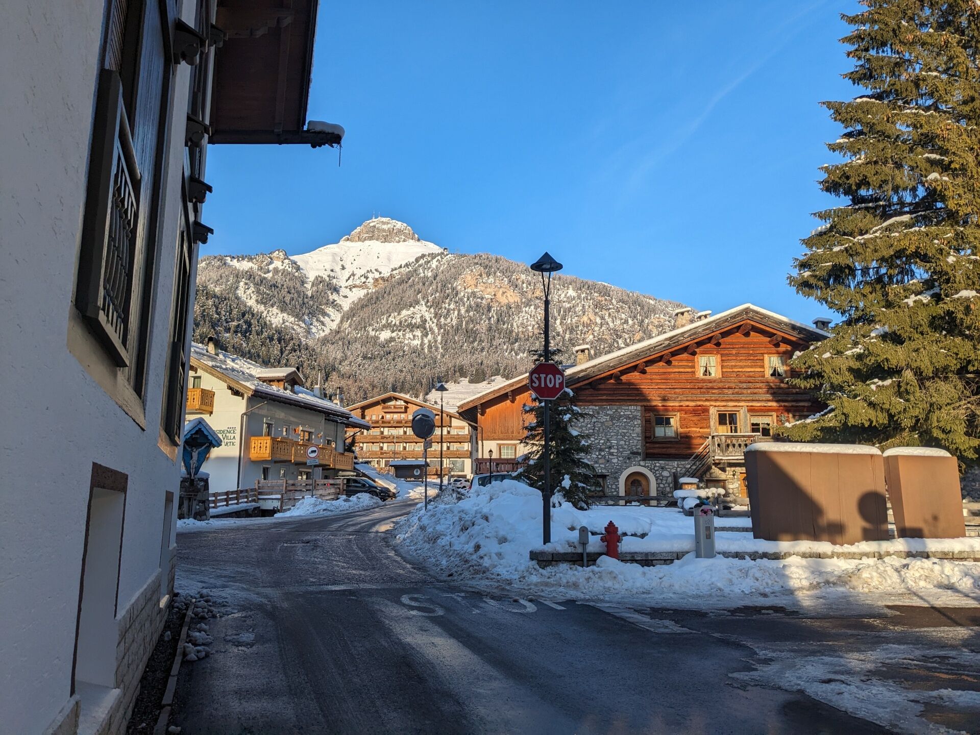
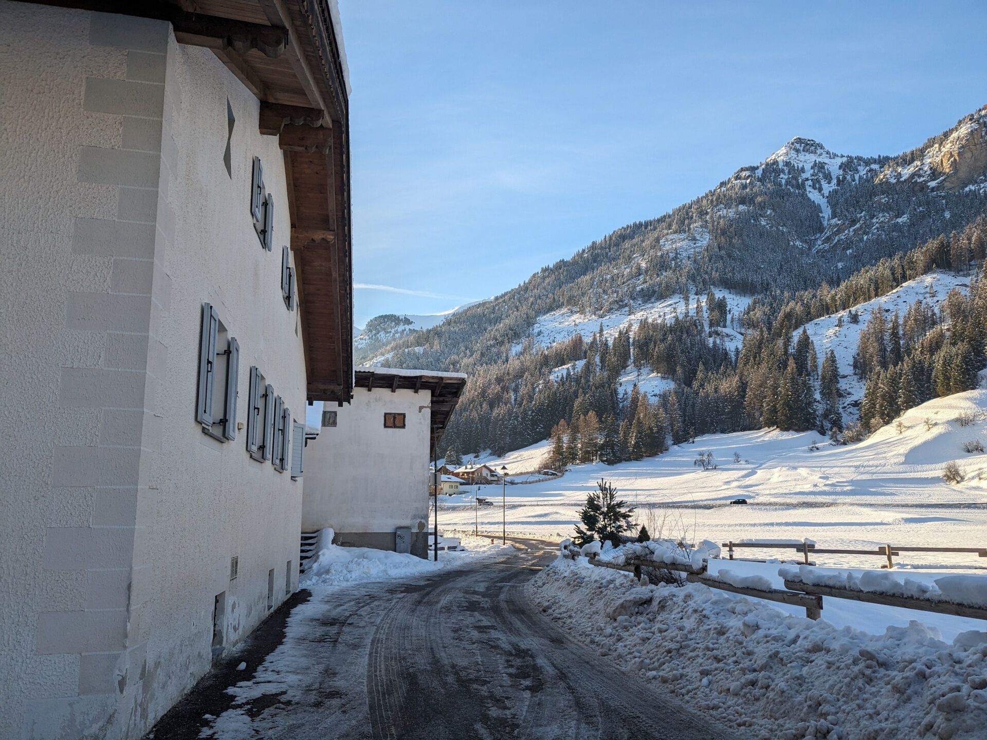
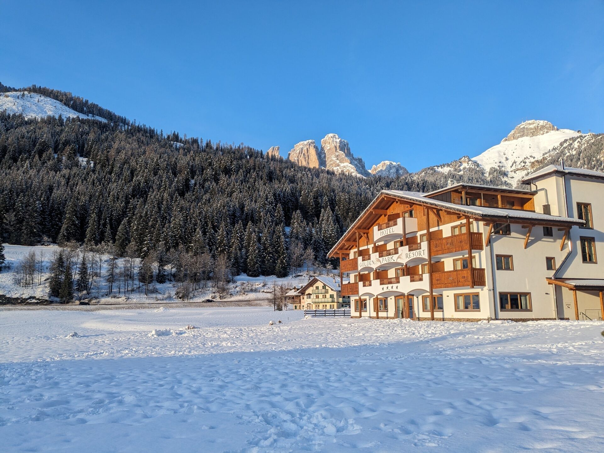
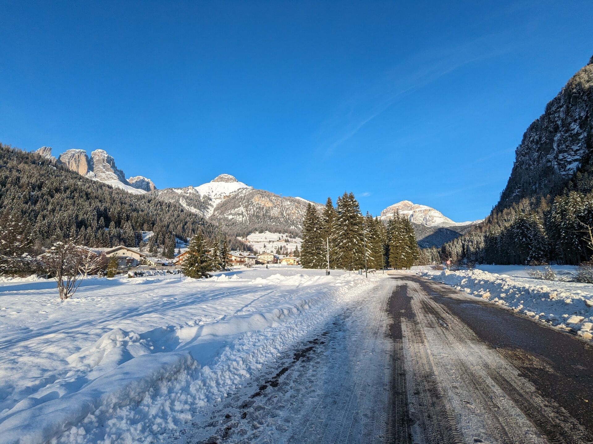
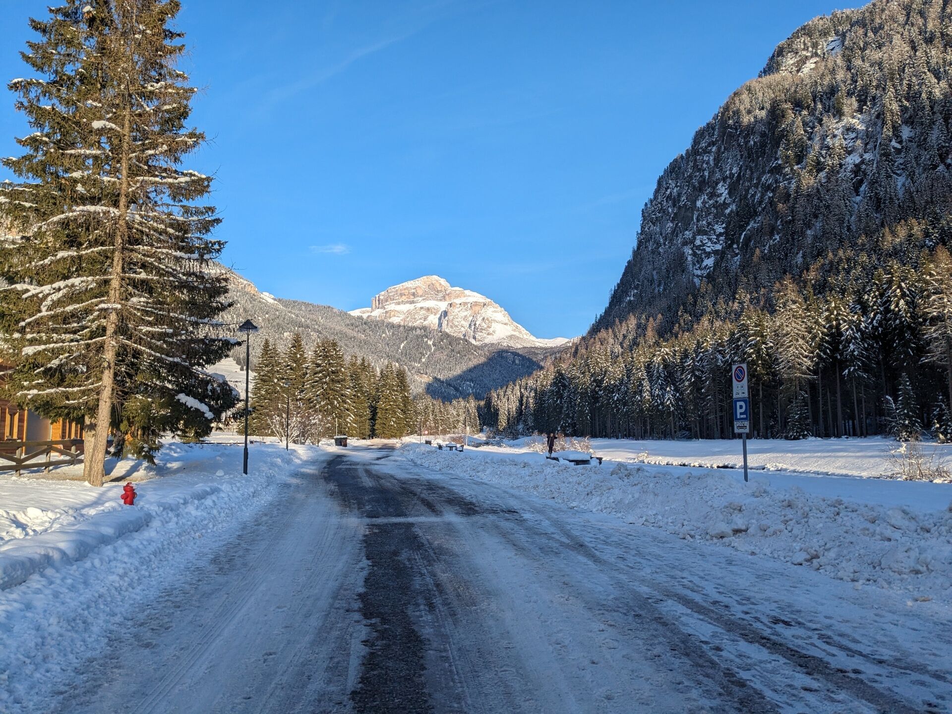
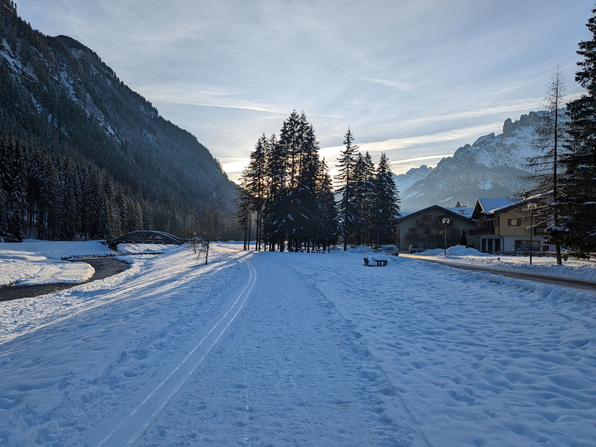
An easy walk from Campitello across the wide, sunny plain between Fontanazzo and Campestrin.
- Difficulty
-
medium
- Rating
-
- Starting point
-
Campitello di Fassa (Piaz de Ciampedel)
- Route
-
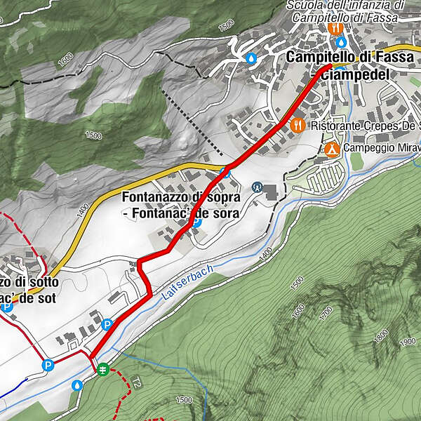
Campitello di FassaFontanazzo di Sopra0.4 km
- Best season
-
AugSepOctNovDecJanFebMarAprMayJunJul
- Description
-
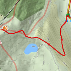
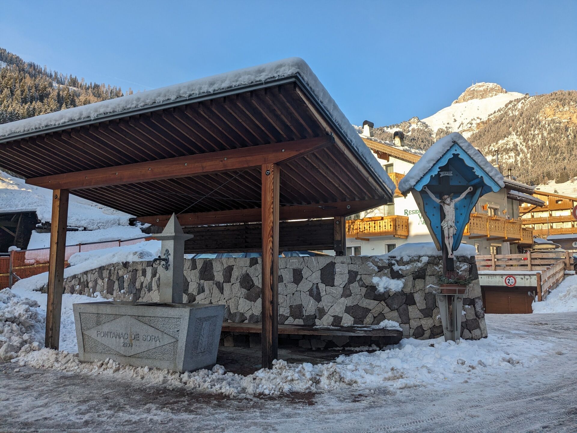
From the town centre of Campitello follow the pavement walking southward until you get out the village. Once you reach Hotel Flora Alpina, leave the main road and turn on the left, walking downhill along Streda de Ciadenac. Pass the houses of Fontanazzo di Sopra and proceed on an easy, flat road (Strèda de Albolina). Shortly after the bridge over the river Avisio, take the cycle pedestrian path on the left, which leads to Campestrin by passing across some meadows. Take Strada de Palua and reach the main road. Return along the same way. As an alternative, from Campestrin you can also follow the pavement walking northwards. Once you pass the small church on the left, go ahead for about hundred meters, you will firstly cut across Strèda de Pèla and then Strèda de Majìa. Continue along Strèda de l’Albolina, returning on the same way backwards.
- Directions
-
From the town centre of Campitello follow the pavement walking southward until you get out the village. Once you reach Hotel Flora Alpina, leave the main road and turn on the left, walking downhill along Streda de Ciadenac.
Return along the same way. As an alternative, from Campestrin you can also follow the pavement walking northwards. Once you pass the small church on the left, go ahead for about hundred meters, you will firstly cut across Strèda de Pèla and then Strèda de Majìa. Continue along Strèda de l’Albolina, returning on the same way backwards.
You can also start in Campestrin (Mazzin).
- Highest point
- 1,424 m
- Endpoint
-
Fontanazzo (Strèda de l'Albolina)
- Height profile
-
 © outdooractive.com
 - Equipment
-
Carefully observe the ground you’re walking on and be always properly equipped (boots, crampons, and poles).
- Safety instructions
-
1. Plan your hike according to your abilities, the weather, the characteristics, and conditions of the itinerary as well the avalanche risk.
2. Always prefer being accompanied by somebody. If possible, rely on a professional mountain guide.
3. Make sure you have suitable clothes and equipment (boots, crampons, and poles).
4. Inform somebody of your itinerary, return time, and possible changes.
5. Take it easy, enjoy the landscape and the silence.
6. If uncertain about the direction, turn back.
7. Stay out of cross-country and alpine skiing slopes.
8. Respect the environment around you. Bring back your rubbish.
9. Bring your pet along, but keep it on a leash.
10. Help those in need. Call 112 only in case of real necessity.
- Tips
-
Easy walk that, from Campitello, goes through the wide and sunny expanse between Fontanazzo and Campestrin. It’s accessible with stroller and baby carrier.
- Additional information
-
Tourist Board Val di Fassa
Strèda Roma, 36
38032 Canazei (TN)
Phone +39 0462 609500
info@fassa.com
www.fassa.com
- Directions
-
Main access points to the valley coming from A22 Modena-Brennero motorway:
- exit Ora/Egna, S.S. 48 delle Dolomiti - San Lugano Pass - Val di Fiemme - Val di Fassa (distance 45 km). At the roundabout in Moena (industrial area), proceed towards Canazei
- exit Bolzano Nord, S.S. 241 Grande Strada delle Dolomiti - Carezza Pass - Vigo di Fassa (distance 40 km). From Vigo, head north for Canazei, head south for Soraga di Fassa and Moena
Other access points to Val di Fassa:
- from A27 motorway (Venezia), exit Belluno/Ponte nelle Alpi, S.S. 203 to Agordo and S.P. 346 to San Pellegrino Pass - Moena (Val di Fassa). At the roundabout in Moena, proceed towards Canazei
- from A27 motorway (Venezia), exit Belluno/Ponte nelle Alpi, S.S. 203 to Agordo/Alleghe/Rocca Pietore. S.P. 641 to Fedaia Pass - Canazei
- coming from Arabba, S.S. 48 to Pordoi Pass - Canazei
- from Val Gardena, S.S. 242 to Sella Pass - Canazei
- Public transportation
-
Public transport lines Trentino Trasporti - Val di Fassa:
- line no. 101 Canazei - Cavalese - Trento
- line no. 104 Cavalese - Ora - Trento
- line no. 123 Moena - San Pellegrino Pass - Falcade
Public transport lines SAD - Val di Fassa:
- line no. 180 Vigo di Fassa - Carezza Pass - Bolzano
- Nearest bus stop (Trentino Trasporti): Campitello di Fassa > Piaz de Ciampedel
- Nearest ski bus stop: Campitello di Fassa > Piaz de Ciampedel
- Parking
-
Free parking at the entrance to the village, opposite the "Col de Lin" ski lift.
- Author
-
The tour Campitello di Fassa - Fontanazzo - Campestrin is used by outdooractive.com provided.


General info
-
Dolomiten
141
-
Fassatal
123
-
Campitello di Fassa
48