


- Brief description
-
Discover the enchantment and silence of the mountains in Val di Cembra
- Difficulty
-
easy
- Rating
-
- Starting point
-
Location “Pradèt”
- Route
-
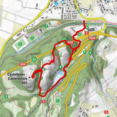
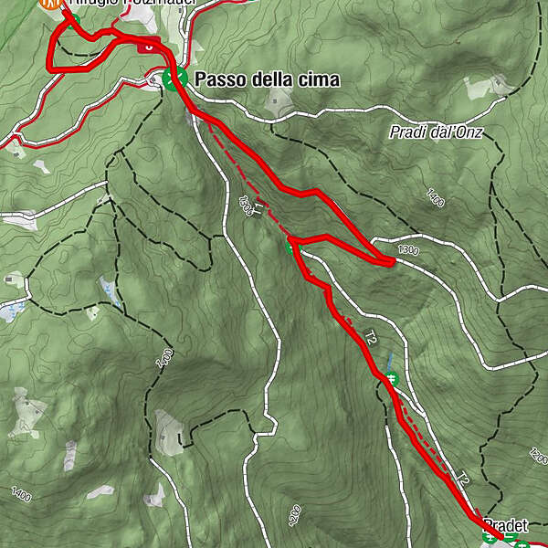
PradetRifugio Potzmauer2.3 kmPradet4.6 km
- Best season
-
JanFebMarAprMayJunJulAugSepOctNovDec
- Description
-
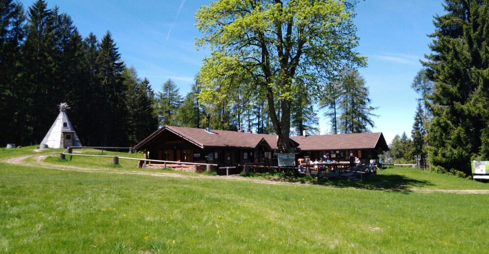
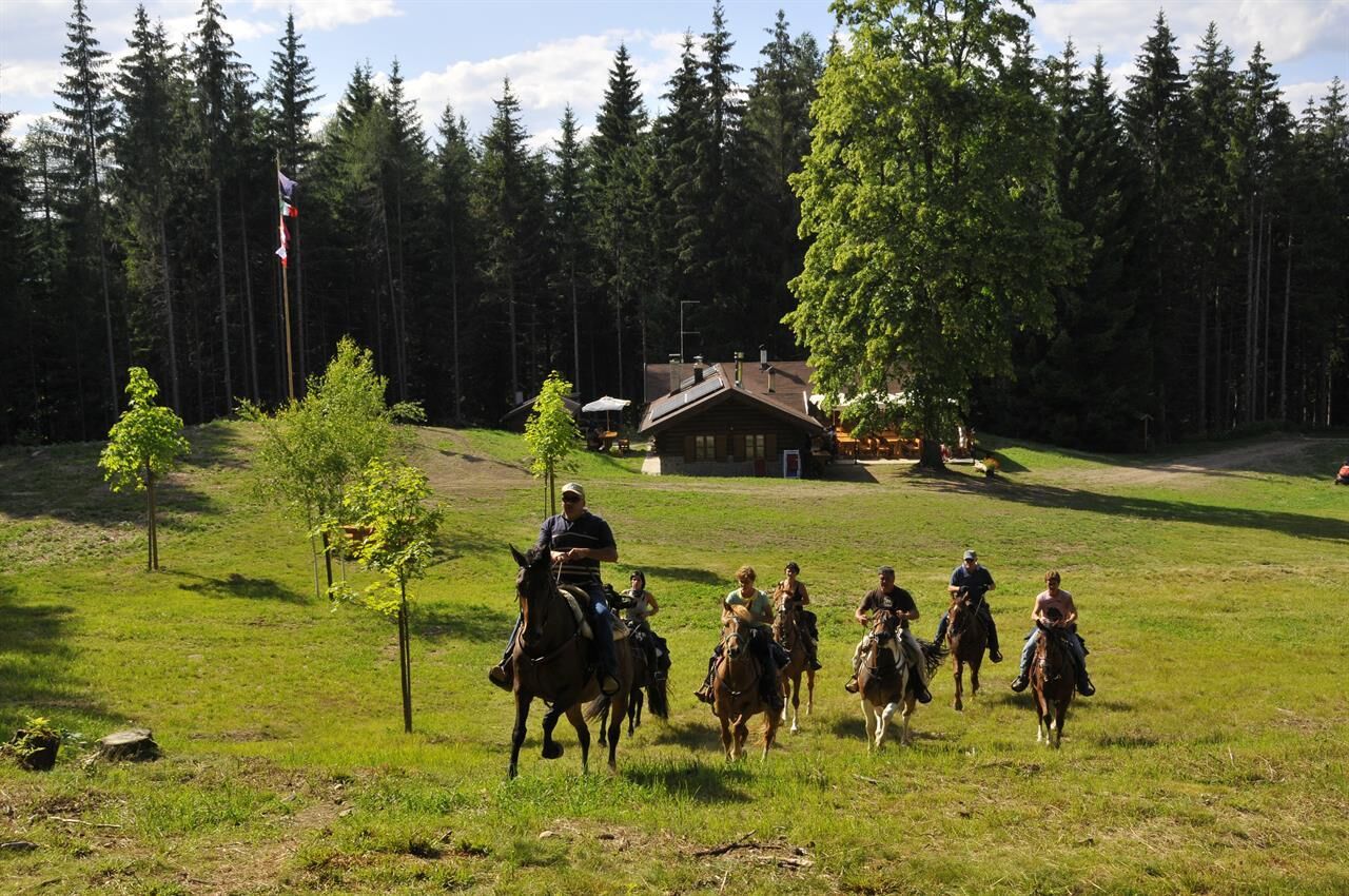
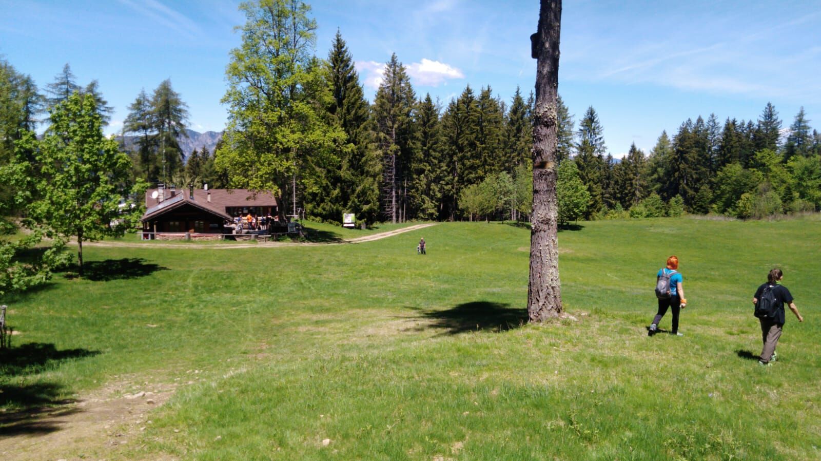
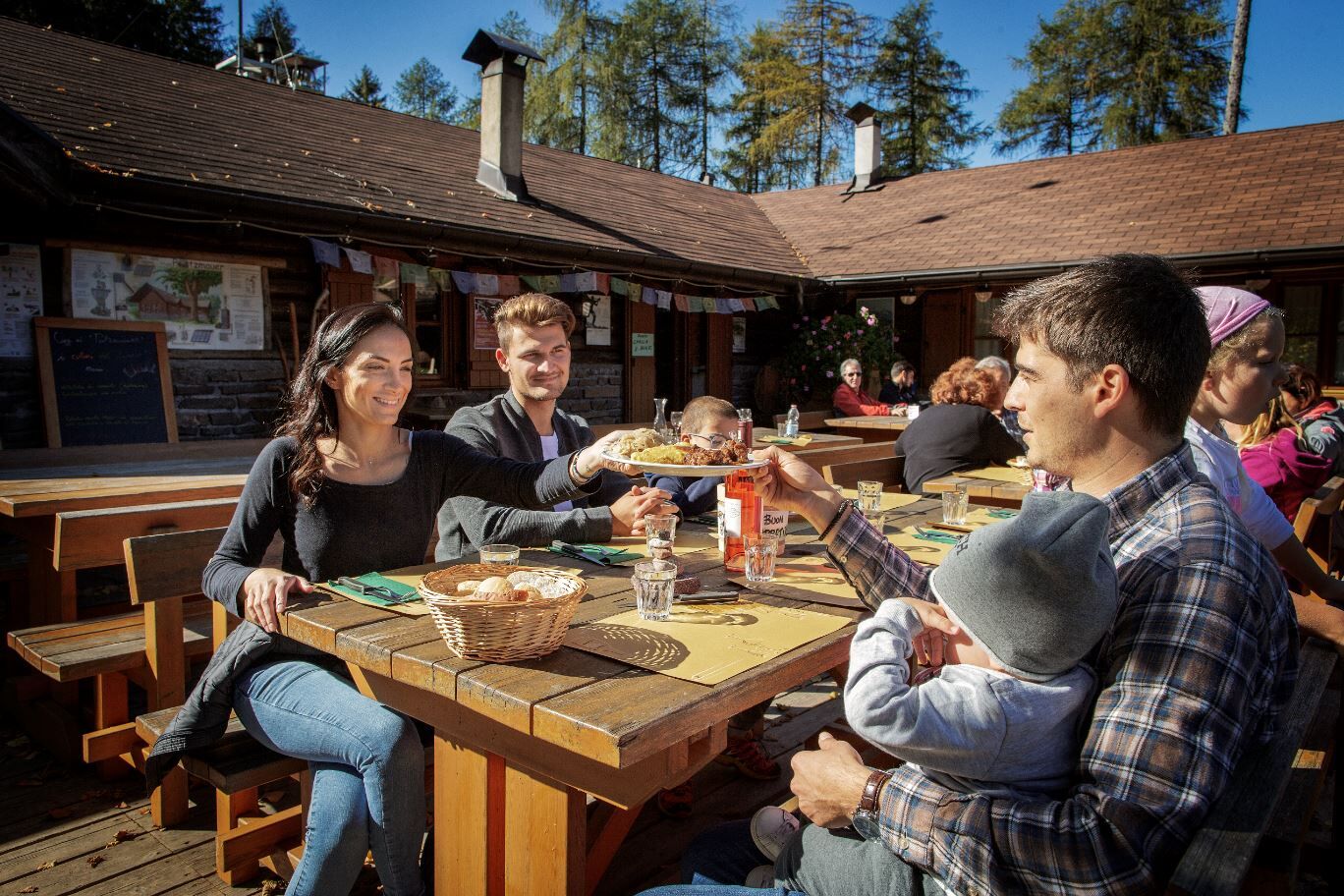
The Potzmauer refuge is located along the famous European Path E5, a hiking route connecting the cities of Verona and Constance. Situated on the edge of a large clearing, it is an ideal place to enjoy the hut's typical dishes and also to enjoy a picnic surrounded by greenery. The refuge offers the possibility of an overnight stay.
- Directions
-
From the parking area, you follow the road in the “Rifugio Potzmauer” direction. After a few metres, you take trail 480, which runs almost parallel to the forest road along the “Rio Dei Pezzi”.
After crossing the forest road twice, marker 480 joins the little road just below the Potzmauer (or Cima 1350m) pass, which is quickly reached.
Following the signs for the hut, you descend into the forest and reach the beautiful Potzmauer esplanade at an altitude of 1292m.
You return along the same route.
- Highest point
- 1,351 m
- Endpoint
-
Rifugio Potzmauer
- Height profile
-
 © outdooractive.com
 - Equipment
-
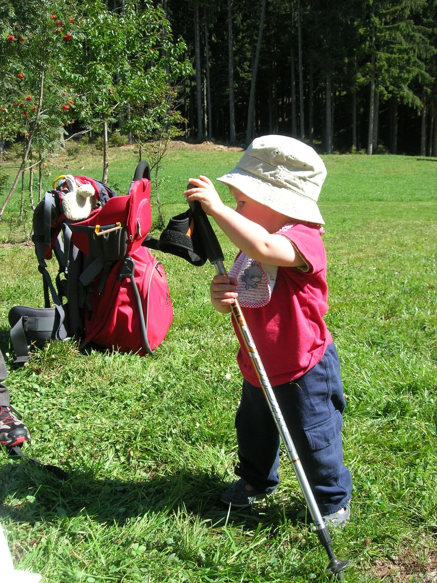
We recommend to do this walk with the baby carrier.
Hiking shoes, rain-jacket, water, snack and sun cream.
- Safety instructions
-
THE 10 RULES FOR HIKERS
Prepare your itinerary beforehand Choose an itinerary that suits your physical abilities Choose suitable clothes and equipment Check the weather forecast Hiking by yourself is more risky; if this is the case, take a mobile phone with you Leave information about your itinerary and your expected return time If you are not sure about your itinerary, contact an Alpine Guide Pay attention to signposts and directions that you find along your way Do not hesitate in going back if you feel too tired In case of emergency call 112 - Tips
-
A very interesting excursion on European Path E5 which, from the Potzmauer, leads to the picturesque Lago Santo.
- Additional information
- Directions
-
From Lavis, you follow road SS612 della Valle di Cembra to Grumer, where you follow the directions for the Rifugio Potzmauer . You go past “Masi di Grumes” and reach the parking area in Pradèt locality.
- Parking
-
Free parking in “Pradèt”.


- Author
-
The tour To Rifugio Potzmauer is used by outdooractive.com provided.