
- Brief description
-
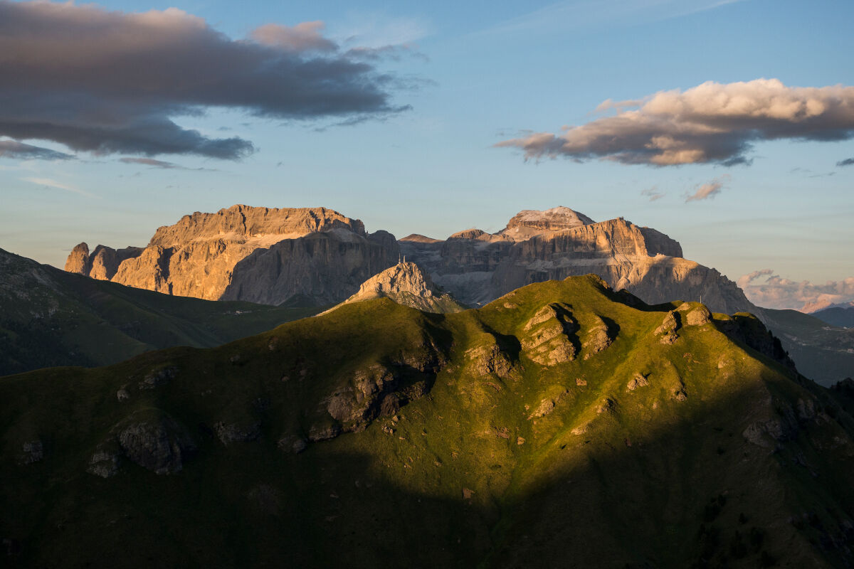
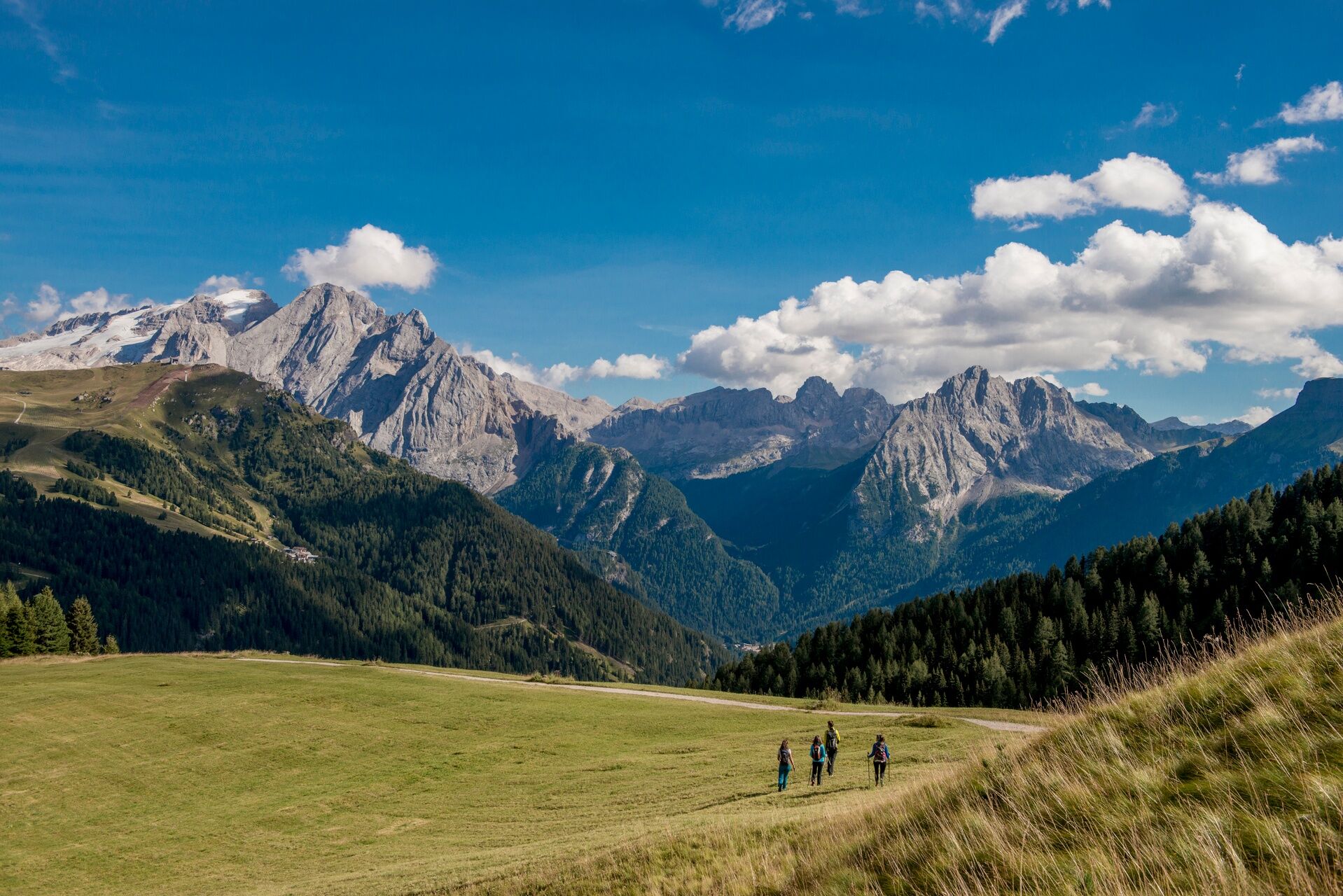
Autumn version of the Dolomiti Trek King, sleeping in a mountain hut and walking for 3 days through landscapes and forests glowing in golden hues. The third and final stage will take you from Sasso Piatto Refuge to Campitello.
- Difficulty
-
medium
- Rating
-
- Starting point
-
Sasso Piatto Refuge
- Route
-
Emilio-Comici-Hütte7.1 kmRifugio Salei10.9 kmBaita Miara Hütte11.1 kmRodella des Alpes12.0 kmRifugio Des Alpes12.1 kmCampitello di Fassa14.5 kmCampitello (1,440 m)14.6 km
- Best season
-
JanFebMarAprMayJunJulAugSepOctNovDec
- Description
-
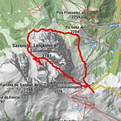
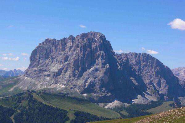
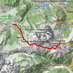
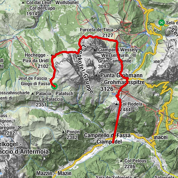
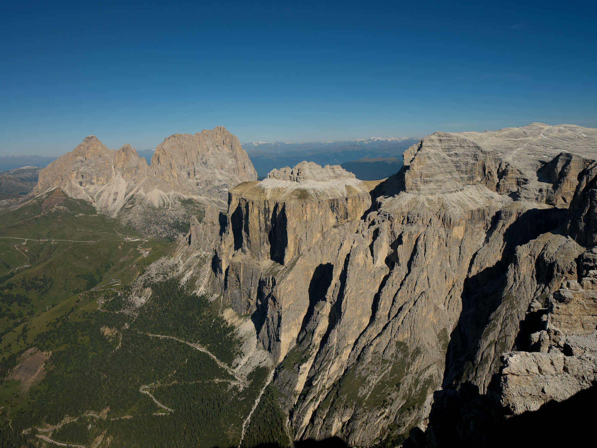
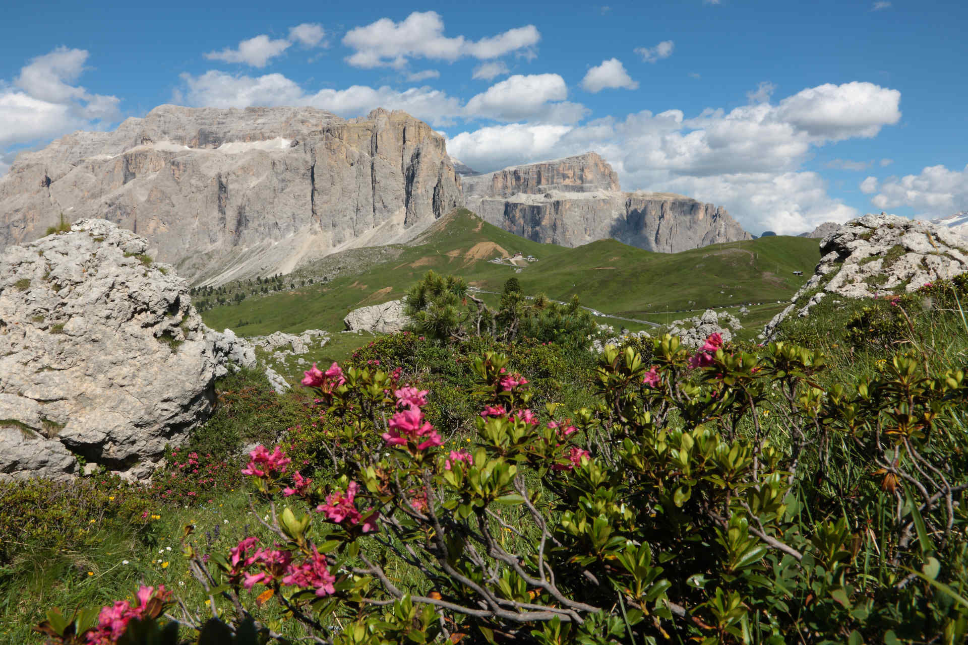
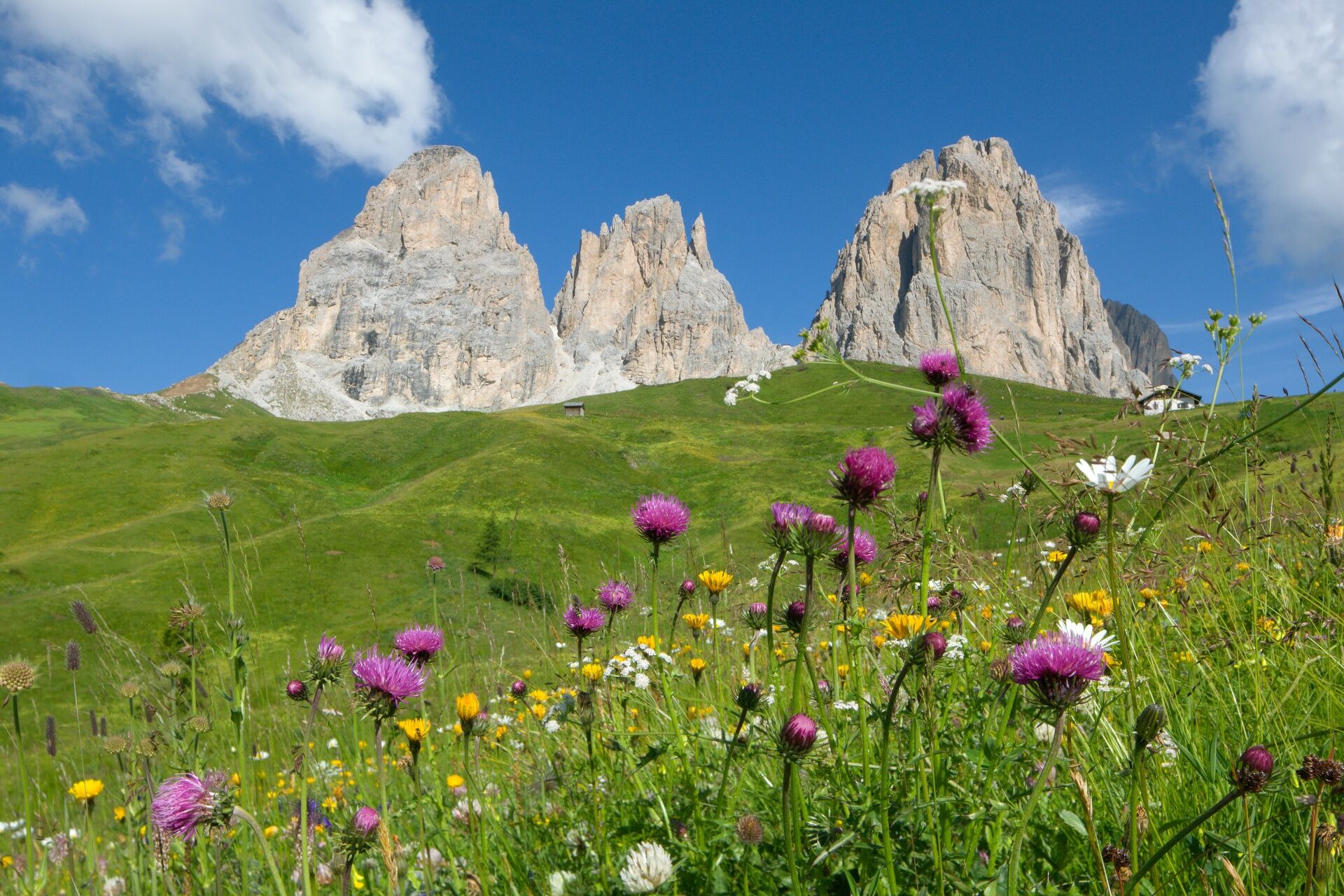
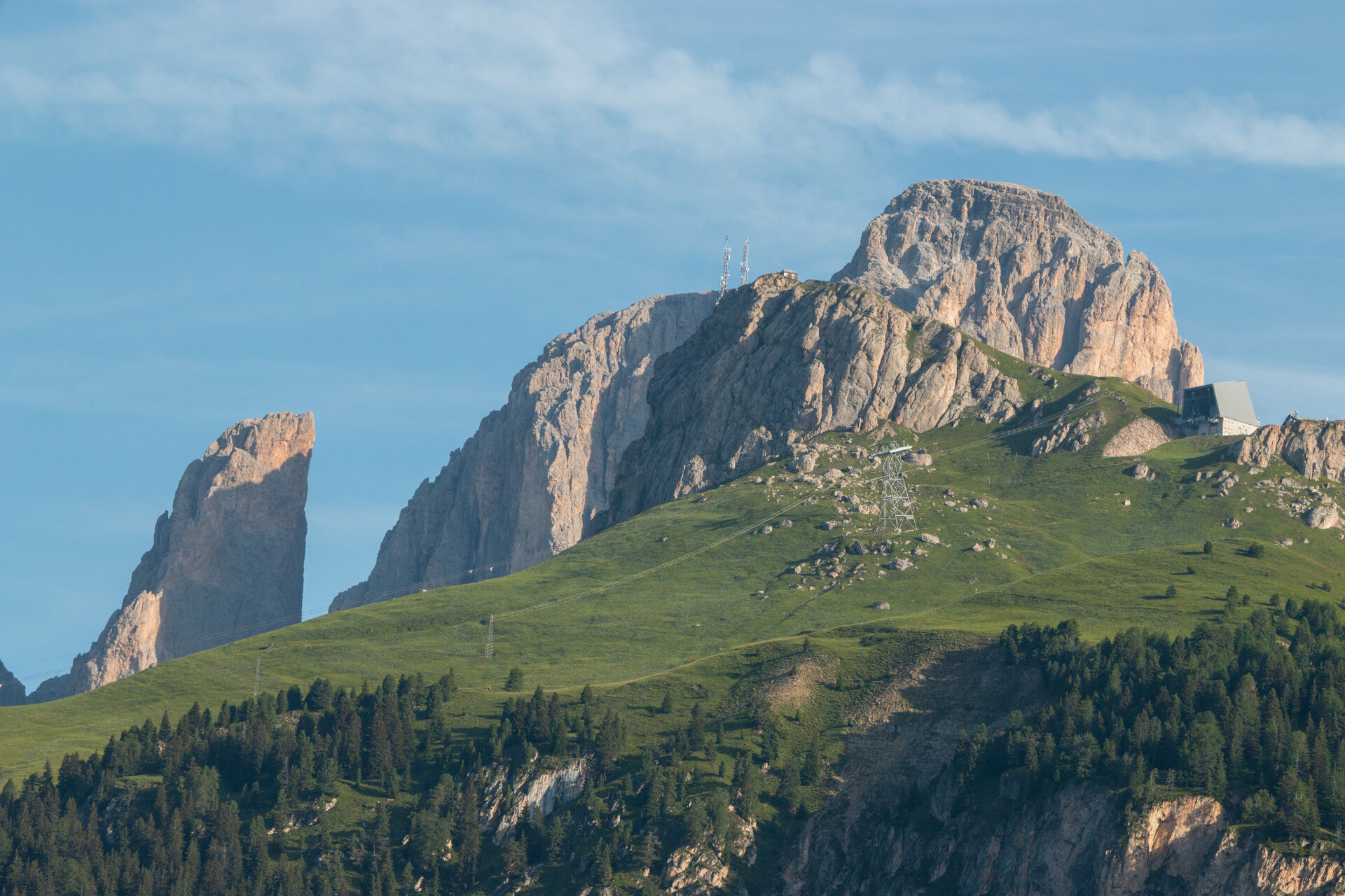
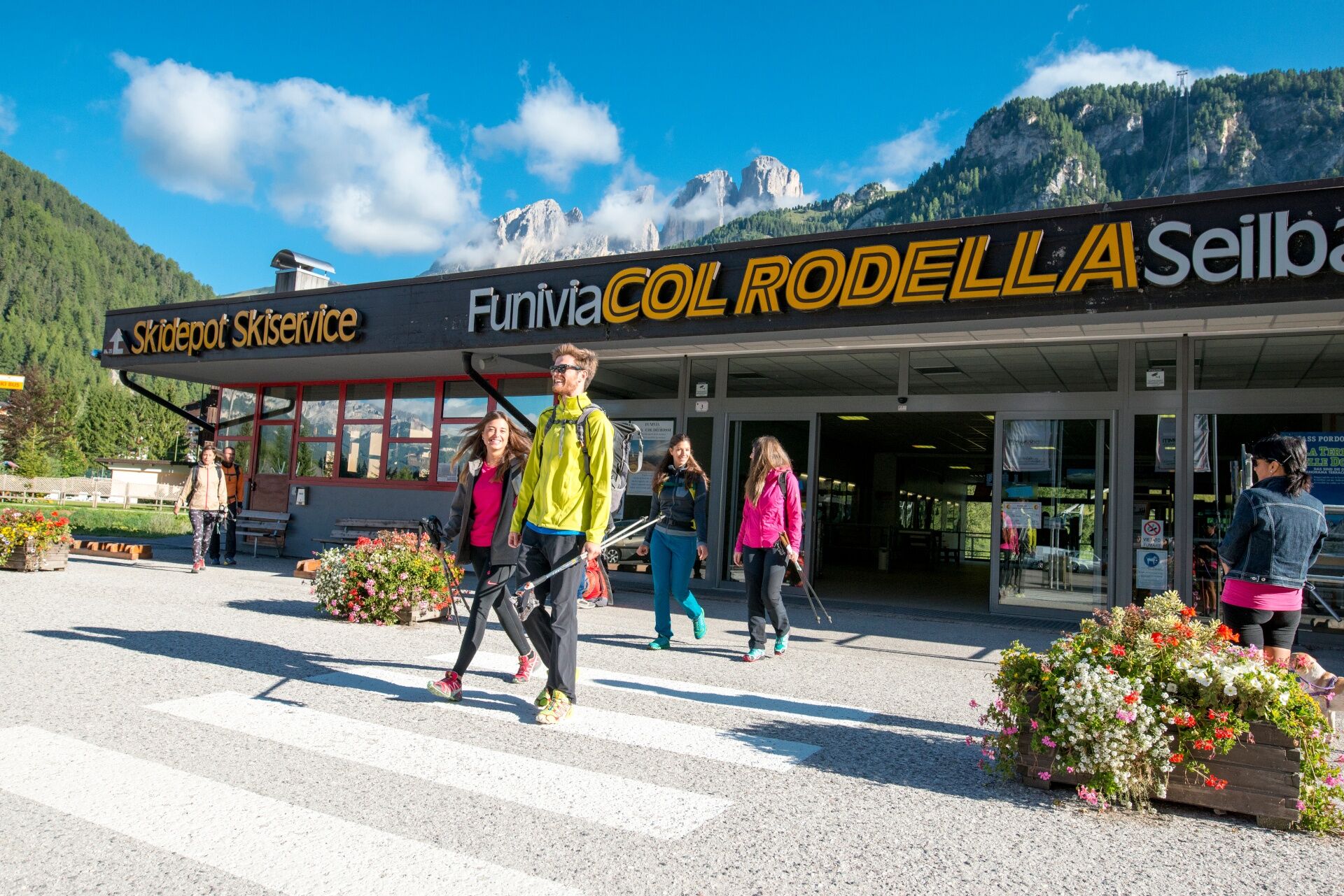
From Sasso Piatto Refuge start descending on path no. 527. Turn right remaining always on the same path which later on will connect with paths no. 526 and no. 526/A, reaching first the "Piz of Uridl", then the catchment basin of the Sassolungo and afterwards the grassy saddle of "Piz Ciaulonch" that will lead to a labyrinth of rocks. From Comici Refuge take path no. 526/C to a wide easy track through the "Città dei Sassi" ("City of Stones"). After this, walk in order to reach Sella Pass and then continue towards Col Rodella following paths no. 557 and no. 529. Take the cable car down to Campitello di Fassa and from here the bus to Vigo (Trentino Trasporti bus line).
- Directions
-
From Sasso Piatto Refuge start descending on path no. 527. Turn right remaining always on the same path which later on will connect with paths no. 526 and no. 526/A, reaching first the "Piz of Uridl".
From Col Rodella take the cable car down to Campitello di Fassa and from here the bus to Vigo (Trentino Trasporti bus line).
- Highest point
- 2,386 m
- Endpoint
-
Campitello di Fassa
- Height profile
-
 © outdooractive.com
 - Equipment
-
Wear adequate clothing, footwear and equipment suitable for the length and grade of difficulty of trail to be taken. Always try to be self-sufficient and carry with you the necessary to face possible emergency situations and a first aid kit.
- Safety instructions
-
1. Plan your excursion according to your skills and the weather.
2. Walk slowly, enjoy the landscape and the silence.
3. Inform somebody about your itinerary, return time and possible changes.
4. Rely on professionals (Alpine and local guides).
5. Help those in need. Call 112 only in case of real necessity.
6. Make sure you have suitable clothes and equipment + some water and snacks.
7. Respect the environment around you and its inhabitants. Bring back your rubbish.
8. Follow the marked trails avoiding those in the bike park.
9. To protect the wonders of nature, leave everything in its place.
10. Bring your pet along, but keep it on a leash.
- Tips
-
Organised 3-day high altitude trekking, from refuge to refuge, to discover the most beautiful peaks of the Fassa Dolomites on foot.
Number of mountain lifts to take: 1 (cable car Col Rodella-Campitello).
The tour counts 3 stages on well-indicated CAI-SAT paths. From any point, it is possible to descend to the valley and, thanks to the shuttle service, the mountain lifts or the public means, easily get back to the departure.
- Additional information
-
The 3-night holiday package includes: 3 free and independent trekking tours of medium difficulty 1 night in a Dolomiti Walking Hotel (first and last night), in a double room, with half board 2 overnight stays in a refuge, in a multiple room, with half board 1 cotton sleeping bag for overnight stays in the refuge map of Val di Fassa trails
Tourist Board Val di Fassa
Strèda Roma, 36
38032 Canazei (TN)
Phone +39 0462 609500
info@fassa.com
www.fassa.com
- Directions
-
Main access points to the valley coming from the A22, Modena-Brenner motorway
- exit Ora/Egna, S.S. 48 delle Dolomiti - Passo San Lugano - Val di Fiemme - Val di Fassa (distance km 45). From the Moena bypass (artisan area) towards Canazei
- Bolzano Nord exit, S.S. 241 Grande Strada delle Dolomiti - Passo Carezza - Vigo di Fassa (distance km 40). From Vigo northwards towards Canazei, southwards towards Soraga di Fassa and Moena
Other accesses to the Val di Fassa
- from the A27 (Venice) motorway, exit Belluno/Ponte nelle Alpi, S.S. 203 for Agordo and S.P. 346 Passo San Pellegrino - Moena (Val di Fassa). From the Moena bypass towards Canazei
- from the A27 (Venice) motorway, exit Belluno/Ponte nelle Alpi, S.S. 203 for Agordo/Alleghe/Rocca Pietore. S.P. 641 Passo Fedaia - Canazei
- coming from Arabba, S.S. 48 Passo Pordoi - Canazei
- from Val Gardena, S.S. 242 Passo Sella - Canazei
- Public transportation
-
Public transport lines Trentino Trasporti - Val di Fassa:
- line no. 101 Canazei - Cavalese - Trento
- line no. 104 Cavalese - Ora - Trento
- line no. 123 Moena - San Pellegrino Pass - Falcade
Public transport lines SAD - Val di Fassa:
- line no. 180 Vigo di Fassa - Carezza Pass - Bolzano
- line no. 471 Dolomites passes (Sella Pass, Gardena Pass, Campolongo Pass, Pordoi Pass, Fedaia Pass). Service available in summer only
- Author
-
The tour Stage 3 Dolomiti Trek King autum - Sassolungo is used by outdooractive.com provided.


General info
-
Dolomiten
1826
-
Dolomites Val Gardena / Gröden
1213
-
Campitello di Fassa
457