- Brief description
-
Easy walk among nature, history and culture of Rocchetta.
- Difficulty
-
easy
- Rating
-
- Starting point
-
Degasperi Square
- Route
-
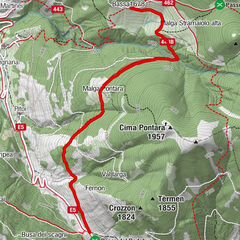
Borgo ValsuganaStalletta4.6 km
- Best season
-
JanFebMarAprMayJunJulAugSepOctNovDec
- Description
-
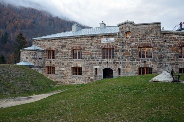
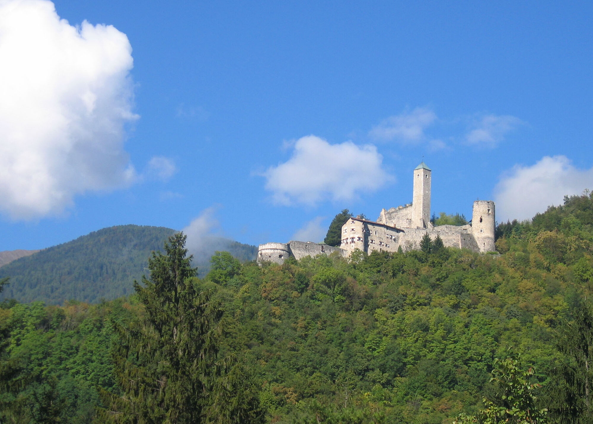
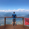
This is the perfect walk for spending a few hours in the open air, leaving the heart of Borgo Valsugana to get to a breathtaking panoramic point.Walking on an all-asphalted secondary road that goes out from the center of Borgo Valsugana, climbs to loc. Piagaro and then reaches loc. S. Giorgio. Entered the historical site, you can see the traces left by the soldiers during the Great War: walkways, trenches and tunnels.
- Directions
-
Difficulty T: touristic route
From Borgo Valsugana main square, follow Via Spagolla, passing the main intersection of Borgo (for those coming from the Central or East Railway Stations, go to the main intersection of Borgo "Via Spagolla" then turn towards Val di Sella and take the first road right after the overpass).
Take Via Liverone and walk until you cross Via della Fossa. From here follow the signs for B&B Piagaro.
Arrived near the intersection with the road that leads us to B&B Piagaro, we turn left following the asphalt road. After a series of curves you reach the Vivaio San Giorgio. From here on we only have to follow the directions for the "Historical Site La Rocchetta".
The return can be done from the way of the climb or down to the Meneghini farm and then always on the trail down to the village of Olle.
From here we come back along the main road to Borgo Valsugana.
- Highest point
- 660 m
- Endpoint
-
Degasperi Square
- Height profile
-
 © outdooractive.com
 - Equipment
-
Normal clothing for hiking in the mountains (clothing and trekking boots, raincoat in case of rain)
- Safety instructions
-
Prepare your itinerary,
Choose a route suitable for your preparation,
Choose suitable equipments,
Consult the meteorological bulletins,
Starting alone is more risky, in case of bring a mobile phone,
Leave information on your itinerary and approximate return time,
Do not hesitate to ask to a professional,
Pay attention to indications and signs that you find on the path,
Do not hesitate to retrace your steps,
In the event of an accident, give the alarm by calling 112,
For guided tours, consult the section of organized activities, the events section, or for an ad hoc excursion contact a mountain professional.
Please note that the practicability of the itineraries in a mountain environment is strictly linked to the contingent conditions and is therefore influenced by natural phenomena, environmental changes and weather conditions. For this reason, the information contained in this page may have changed. Before leaving for a tour, make sure the path you will approach is still accessible by contacting the owner of the mountain hut, the alpine guides or the visitor centres of the nature parks, the info offices of the local tourist board.
- Tips
-
Bring binoculars to enjoy the 360 ° panorama.
- Additional information
- Directions
-
From SS47 - Strada della Valsugana, exit Borgo Valsugana.
- Parking
-
In the city center theer are some free parking spaces.


-
-
AuthorThe tour Walk - La Rocchetta - from Località Piagaro is used by outdooractive.com provided.