- Brief description
-
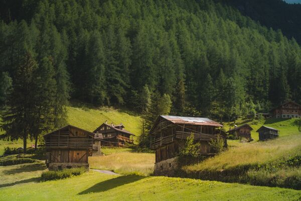
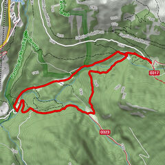
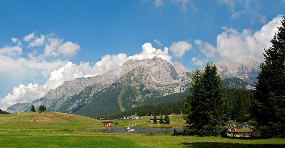
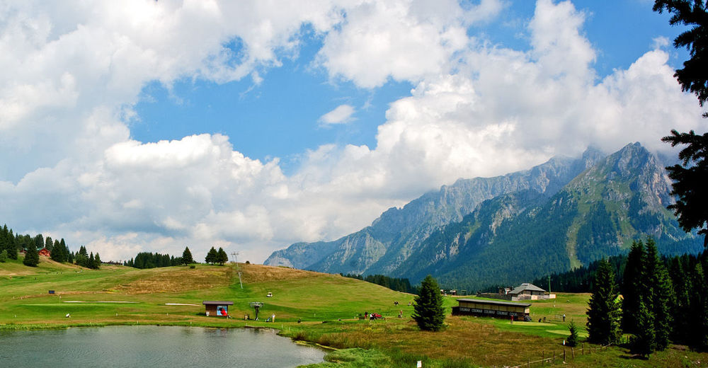
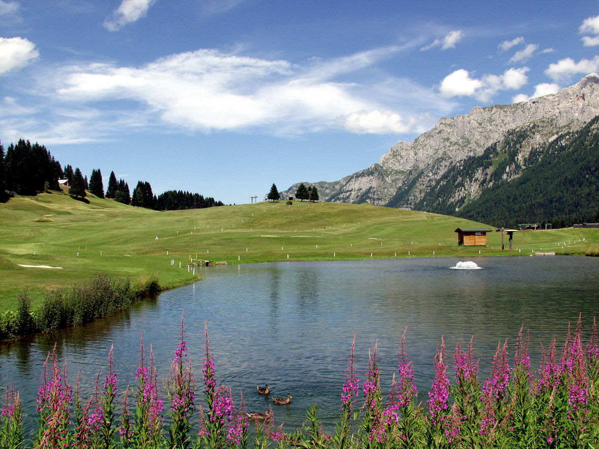
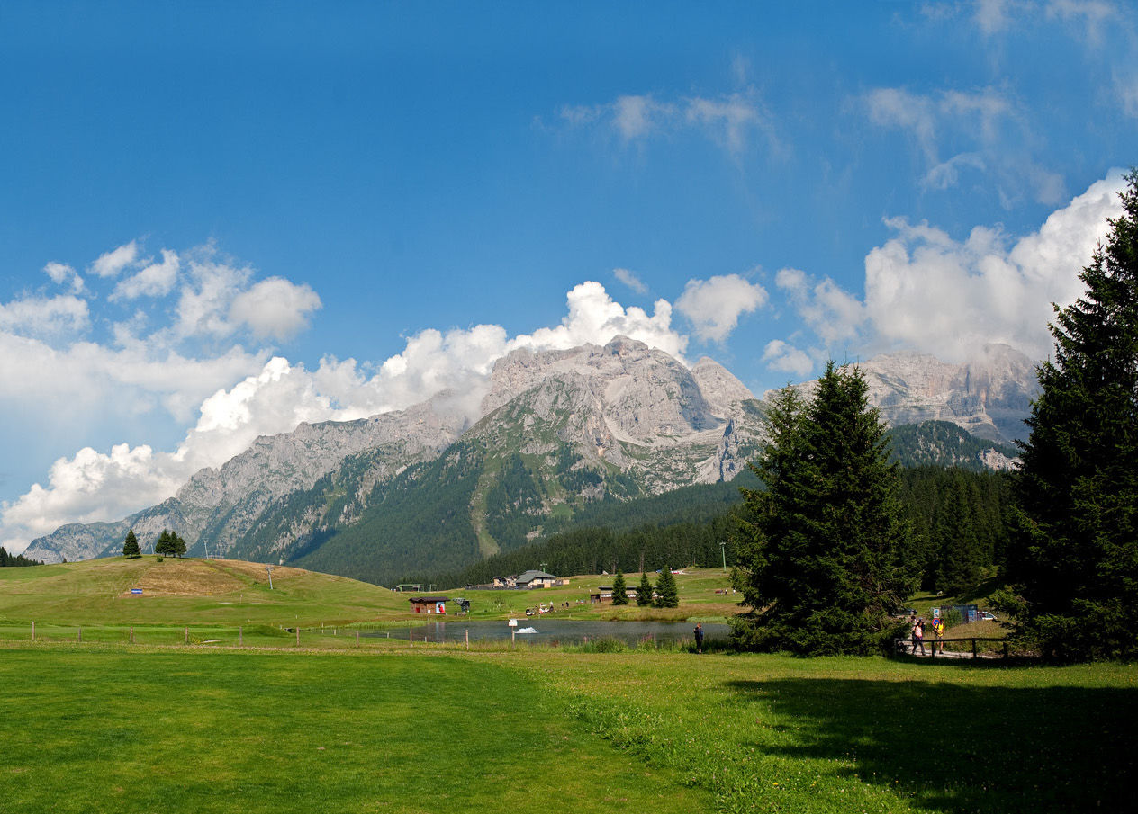
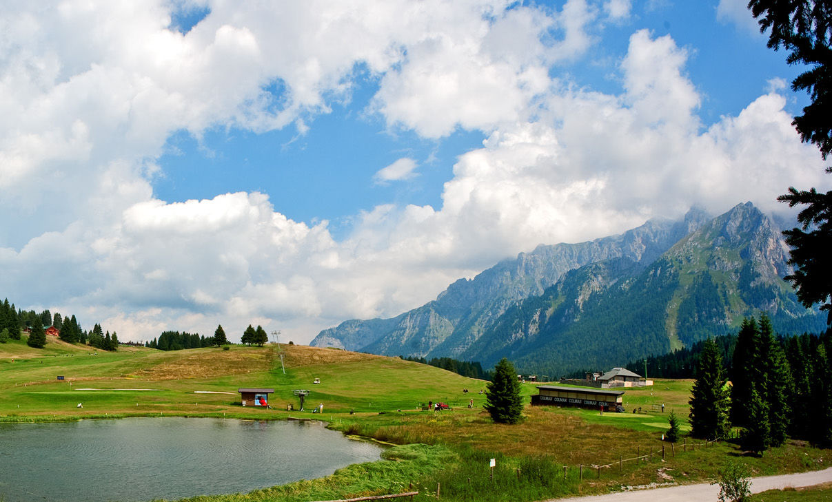
Easy route among woods and pastures, that reaches three typical alpine huts at the foot of the Dolomites. Option to use the lifts for a high-altitude start, or head out on foot from the valley floor.
- Difficulty
-
easy
- Rating
-
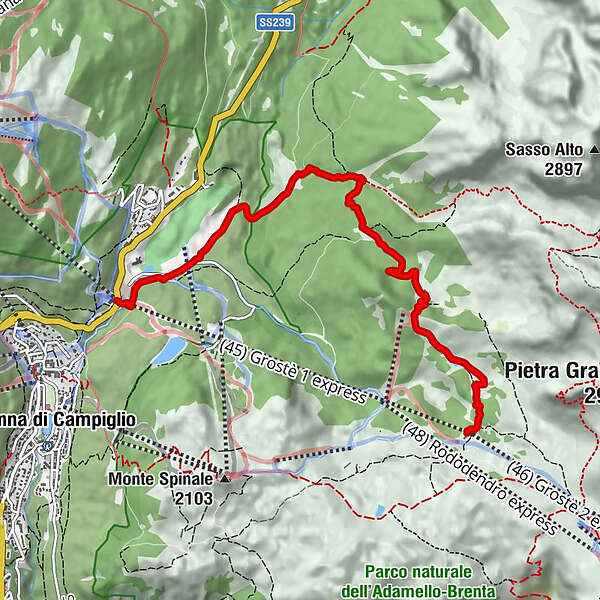
- Starting point
-
Loc. Fortini area (at the Grostè cableway departure)
- Route
-
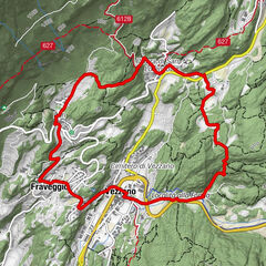
Malga Vagliana1.9 kmMalga Vaglianella3.1 kmMalga Mondifrà4.5 kmFortini6.8 km
- Best season
-
JanFebMarAprMayJunJulAugSepOctNovDec
- Directions
-
Using the lifts: the hike begins from Fortini, where you take the gondola lift up to the intermediate station of the Grostè lift. Head down along the trail to Malga Vagliana. Once you have passed the farmhouse, continue in the direction of Malga Vaglianella. For the return trip, continue on foot to Malga Mondifrà, where you can stop for lunch or a brief break. Finally, continue along the road until you return to the starting point in Fortini, near the Grostè gondola lift. On foot:
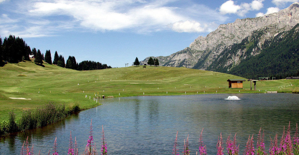
From “Grostè cablecar” parking follow the narrow road towards “Graffer” refuge, passing near the golf course. Follow the road till “Poza Vecia” area, here turn left and follow the road that leads to “Malga Vaglianella” and then to the beautiful pasture of “Malga Vagliana”.
Go back to “Malga Vaglianella”, turn right and go down to “Malga Mondifrà”. From here follow the road to “Grostè cableway” parking.
- Highest point
- 2,071 m
- Endpoint
-
Loc. Fortini area (at the Grostè cableway departure)
- Height profile
-
 © outdooractive.com
 - Equipment
-
Mountaineering boots, hat and windbreakers are recommended.
- Safety instructions
-
Please note that the practicability of the itineraries in a mountain environment is strictly linked to the contingent conditions and is therefore influenced by natural phenomena, environmental changes and weather conditions. For this reason, the information contained in this page may have changed. Before leaving for a tour, make sure the path you will approach is still accessible by contacting the owner of the mountain hut, the alpine guides or the visitor centres of the nature parks, the info offices of the local tourist board.
- Tips
-
It is an easy route, some stretches along a dirt road, particularly suitable for families and children. The Malga Mondifrà is the only place of refreshment along the route, and it offers typical lunch and dinner. Booking is recommended. The itinerary may be started from the intermediate Grostè station or on foot from Fortini in the direction of Malga Vaglianella.
- Additional information
- Directions
-
Reach loc. Fortini near the Grostè cableway, 1 km northwards Madonna di Campiglio along the main road SS239. To reach the cableway coming from Pinzolo, take the tunnel at the beginning of Madonna di Campiglio - avoiding the centre of the village - and go on towards Campo Carlo Magno for about 1 k after the tunnel exit. Coming from Dimaro, instead, pass Campo Carlo Magno and, after about 800 meters, arrive at the Grostè cableway.
- Public transportation
-
In summer shuttle bus from the centre of Madonna di Campiglio (Brenta Alta square) up to Grostè cableway (from June to September).
- Parking
-
Big free parking at the departure of the Grostè cableway.
-
-
AuthorThe tour Vagliana and Vaglianella alpine huts is used by outdooractive.com provided.