
- Brief description
-
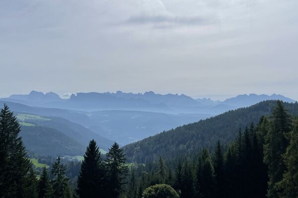
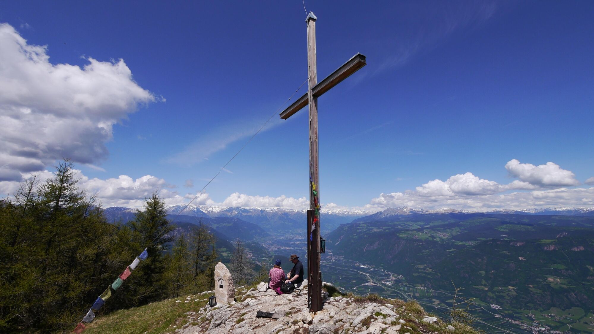
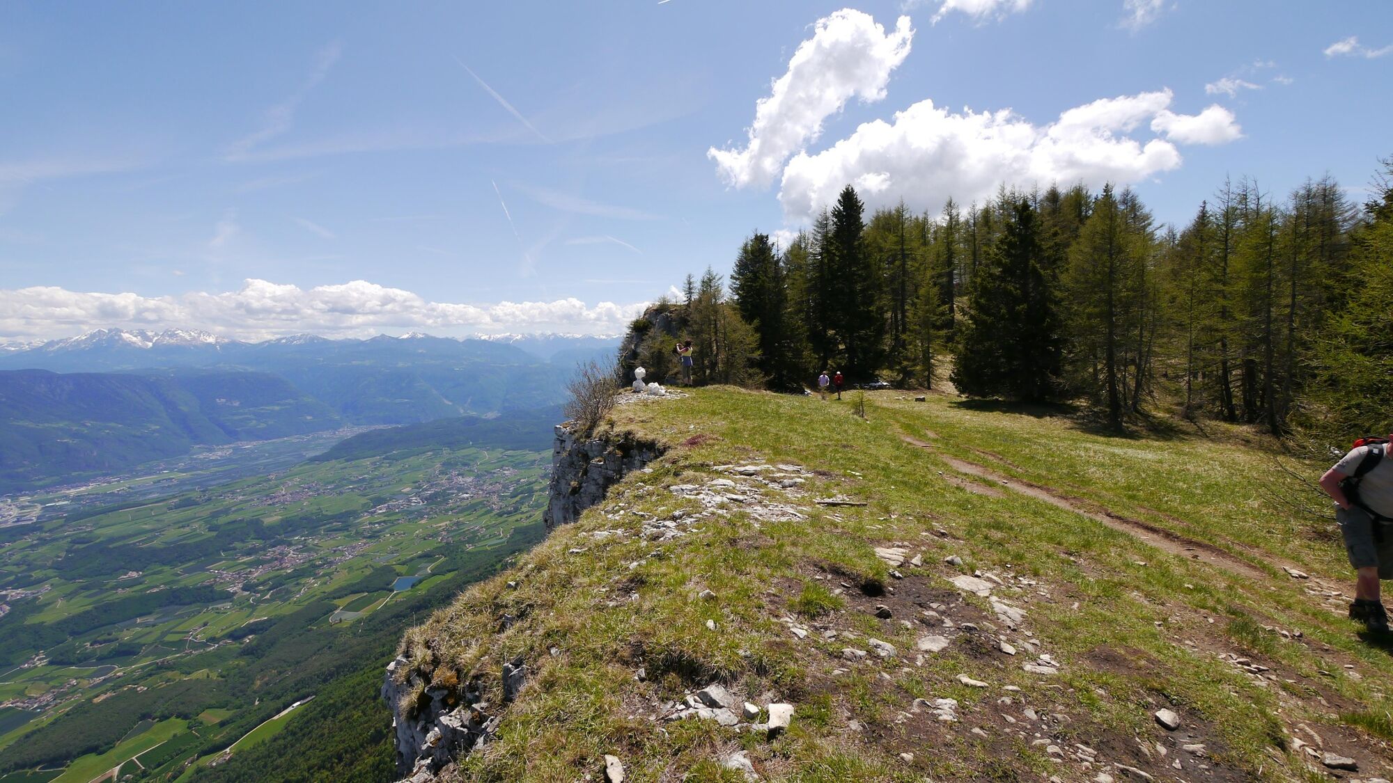
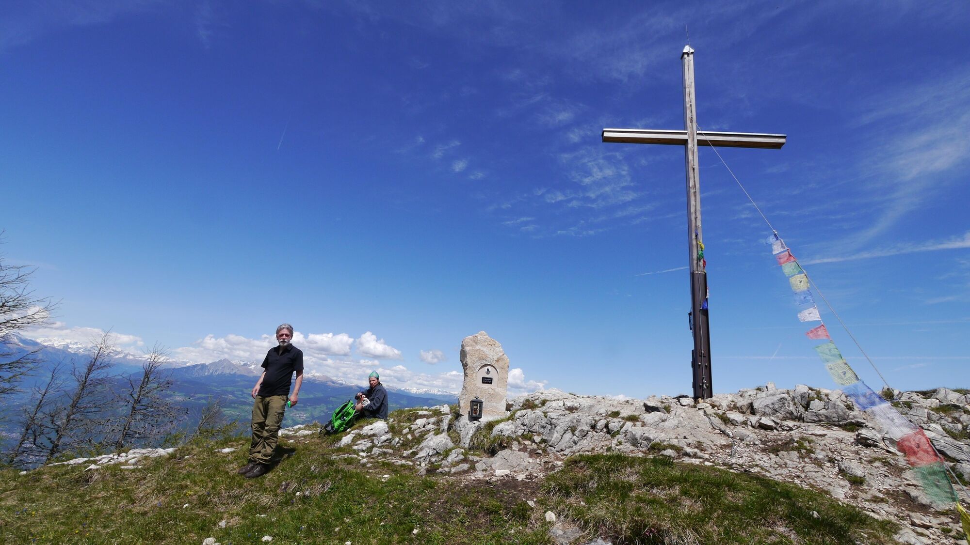
Ruhige Wanderung ohne großeAnstiege oder exponierte Stellen zueinem der panoramareichsten Stellenim Val di Non. Vom Gipfelkreuz des Monte Macaion aus schweift der Blickvon den Städten Meran und Bozenüber das ganze Etschtal bis zu denDolomiten.
- Difficulty
-
medium
- Rating
-
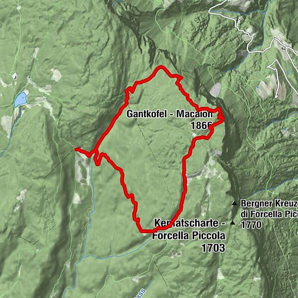
- Route
-
Malga di Fondo0.1 kmGantkofel (1,866 m)4.4 kmMalga di Fondo10.4 km
- Best season
-
JanFebMarAprMayJunJulAugSepOctNovDec
- Highest point
- 1,862 m
- Endpoint
-
Fondo-Alm
- Height profile
-
 © outdooractive.com
 - Safety instructions
-
Please note that the practicability of the itineraries in a mountain environment is strictly linked to the contingent conditions and is therefore influenced by natural phenomena, environmental changes and weather conditions. For this reason, the information contained in this page may have changed. Before leaving for a tour, make sure the path you will approach is still accessible by contacting the owner of the mountain hut, the alpine guides or the visitor centres of the nature parks, the info offices of the local tourist board.
- Author
-
The tour Anello con salita al Monte Macaion is used by outdooractive.com provided.