
- Brief description
-
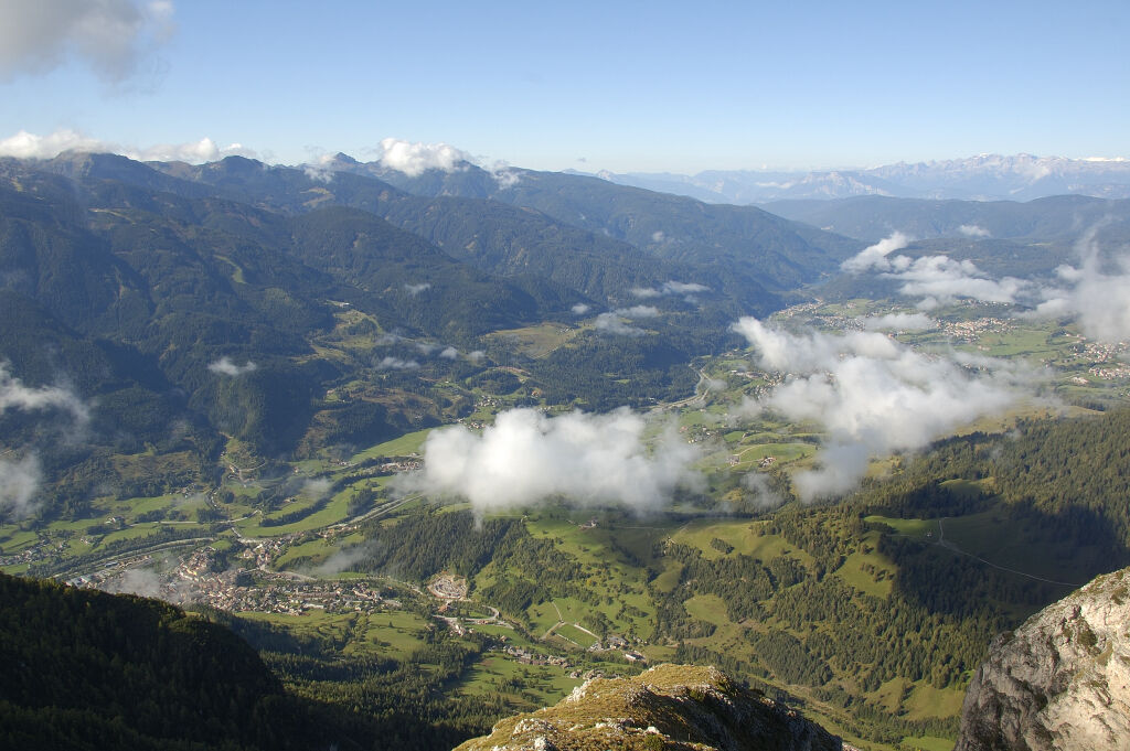
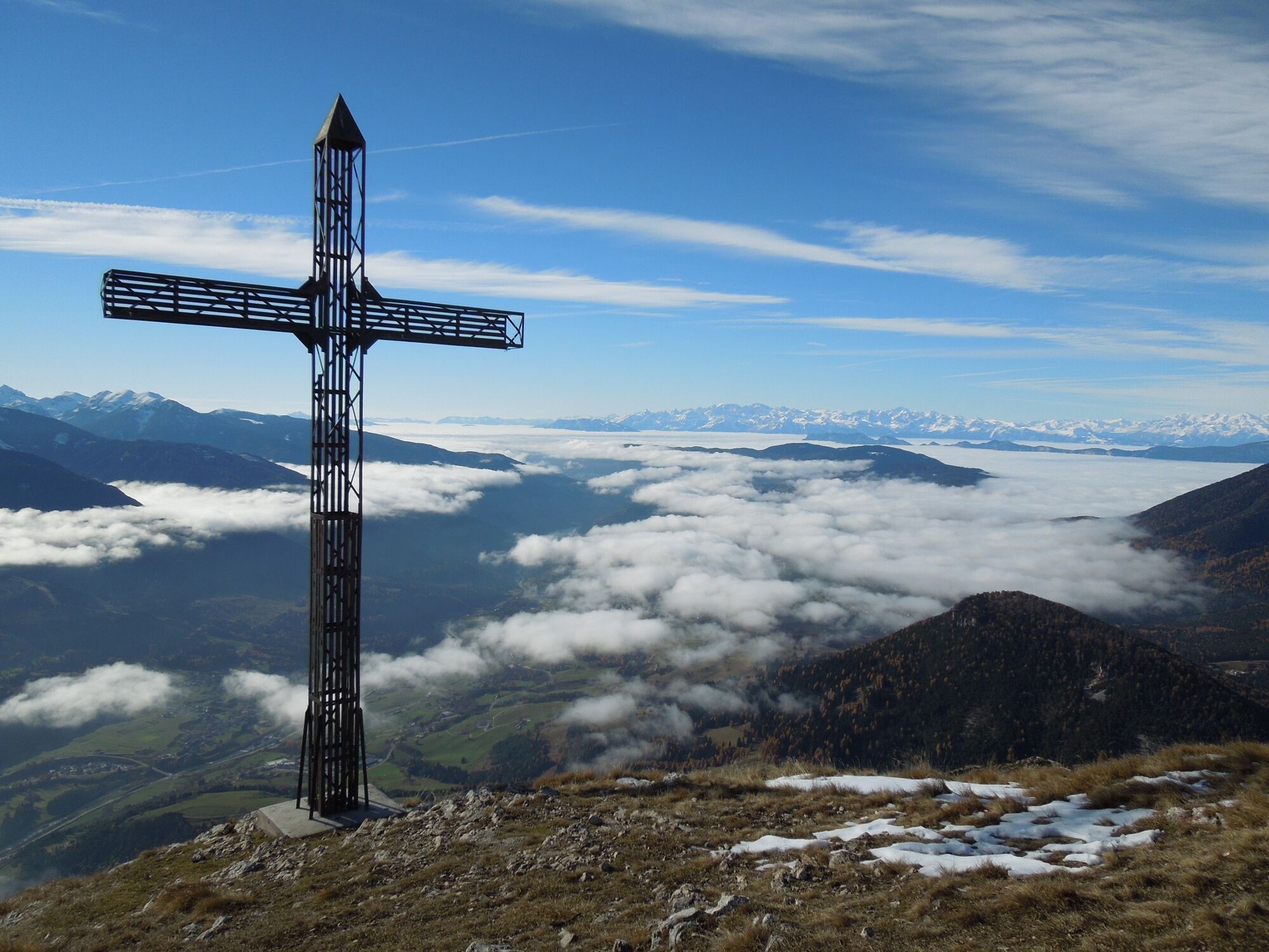
The impressive viewpoint over Val di Fiemme.
- Difficulty
-
medium
- Rating
-
- Starting point
-
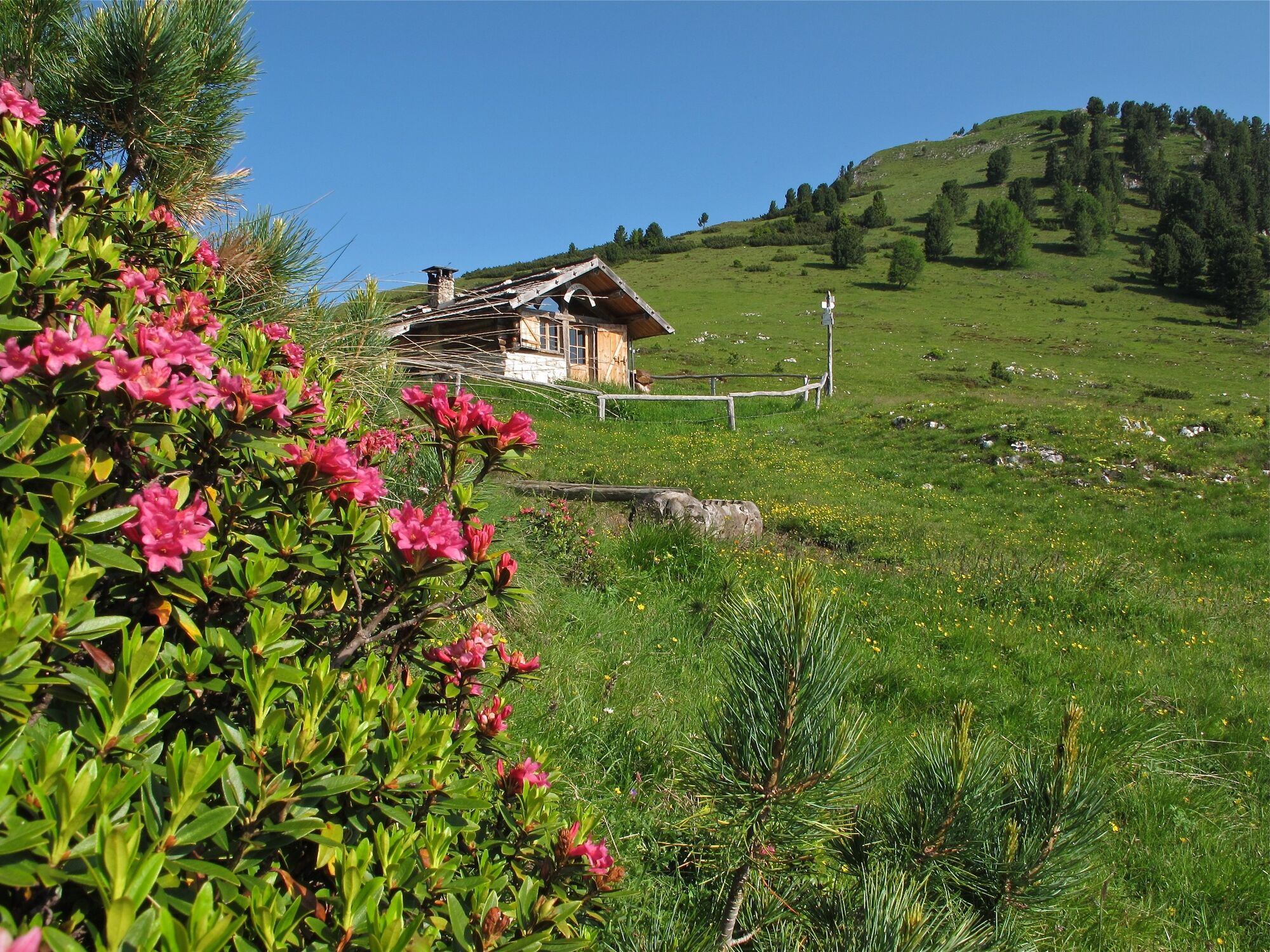
Pampeago - Rifugio Monte Agnello
- Route
-
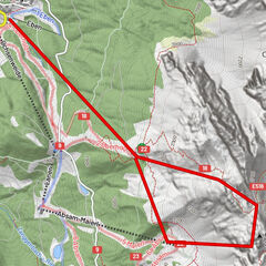
Rifugio Monte AgnelloDoss dei Branchi (2,274 m)2.8 kmCornacci (2,188 m)4.0 kmArmentagiola4.4 kmRifugio Monte Agnello7.6 km
- Best season
-
JanFebMarAprMayJunJulAugSepOctNovDec
- Description
-
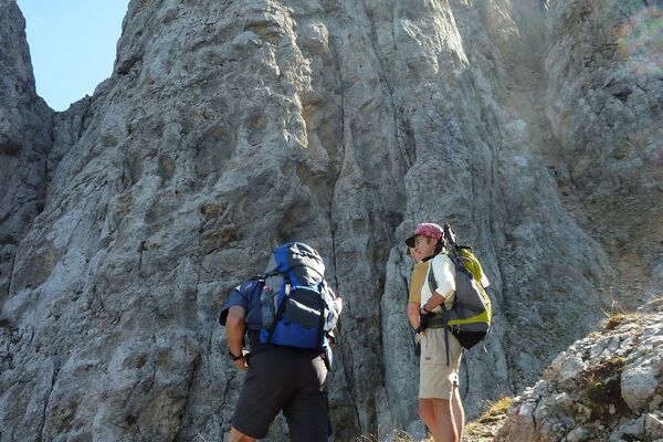
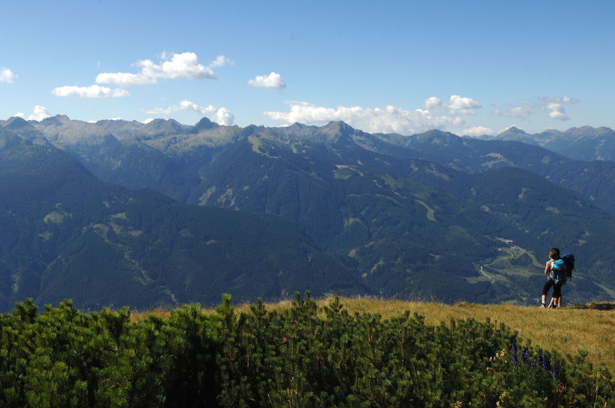
The excursion leads through pastures and huts to the southern peak of Cornacci or Cornon, dominated by the large cross visible also from the valley floor. A long ridge descends towards Tesero offering a panorama that literally takes your breath away. A silent pause on the bench at the foot of the cross will fill your eyes and heart with bliss. The beautiful panoramic photo on a steel platform provides information on the surrounding mountains with their near and far peaks. For over three centuries the slopes of Cornon have kept the unmistakable "writings of the shepherds" written in red ocher, locally called "ból". The whole area is home to a rich variety of flora and fauna. It is possible to meet chamois and spot the golden eagle in the sky.
- Directions
-
From the chairlift arrival point, take path no. 509A which descends towards the 'Respirart' works. At the crossroads, continue left on path no. 514 towards Baito La Bassa, admiring other works of land art. Continue along the ridge on path no. 525 and then on path no. 518 until you reach the Cornacci or Cornon peak, a panoramic viewpoint over the Fiemme valley. From the peak, turn back and then descend to Baito Armentarola from where, on path no. 523, you return to Baito La Bassa. Then follow the ridge on path no. 509 to reach "La Porta" and the Agnello chairlift station and the Agnello mountain hut. with the refuge of the same name. The return to Pampeago is by chairlift.
- Highest point
- 2,263 m
- Endpoint
-
Pampeago - Rifugio Monte Agnello
- Height profile
-
 © outdooractive.com
 - Equipment
-
Hiking shoes, rain-jacket, hiking poles, water, sun cream
- Safety instructions
-
THE 10 RULES FOR HIKERS
Prepare your itinerary beforehand Choose an itinerary that suits your physical abilities Choose suitable clothes and equipment Check the weather forecast Hiking by yourself is more risky; if this is the case, take a mobile phone with you Leave information about your itinerary and your expected return time If you are not sure about your itinerary, contact an Alpine Guide Pay attention to signposts and directions that you find along your way Do not hesitate in going back if you feel too tired In case of emergency call 112Please note that the practicability of the itineraries in a mountain environment is strictly linked to the contingent conditions and is therefore influenced by natural phenomena, environmental changes and weather conditions. For this reason, the information contained in this page may have changed. Before leaving for a tour, make sure the path you will approach is still accessible by contacting the owner of the mountain hut, the alpine guides or the visitor centres of the nature parks, the info offices of the local tourist board.
- Tips
-
Stop to observe the works of land art at "RespirArt", the highest art park in the world. Almost all the works are built with materials from nature, therefore subject to a slow deterioration due to atmospheric agents.
- Additional information
- Directions
-
From Cavalese and Predazzo drive to Tesero and than take the road direction Pampeago.
- Public transportation
-
Bus service from Cavalese and Tesero.
- Parking
-
Several parking lots in Pampeago.


- Author
-
The tour Tour of Monte Cornon is used by outdooractive.com provided.