- Brief description
-
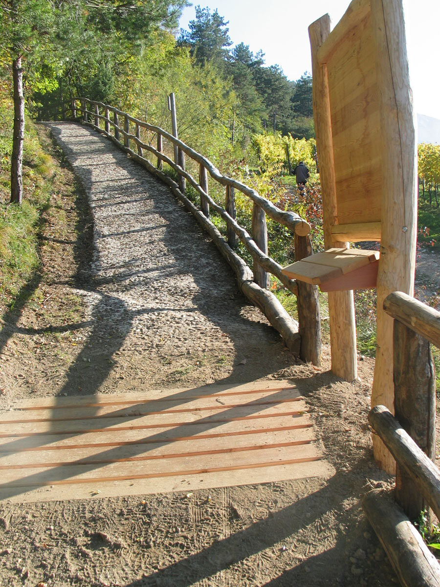
Innovative multi-sensory trail on the West slopes of Marzòla for the visually impaired and blind created by the Trento-Sopramonte Forestry Company.
- Difficulty
-
easy
- Rating
-
- Starting point
-
San Rocco square - Trento
- Route
-
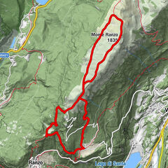
Trient (194 m)0.5 kmBindesi2.2 kmRifugio Bindesi - Pino Prati2.4 kmSan Rocco4.9 km
- Best season
-
JanFebMarAprMayJunJulAugSepOctNovDec
- Description
-
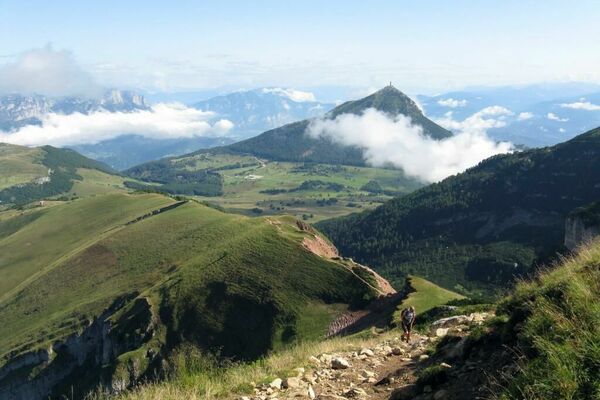
The Trail turns out to be variously equipped with wooden railings, tables with visual and tactile information, consolidation and leveling of the walking surface, special paving, and other accouterments. The itinerary winds from the sunny vineyards of San Rocco to climb the steep slopes of the Marzòla, in the brush, among small springs and remnants of ancient landslides, thus creating diversity in the environment. Having overcome the more strenuous sections by means of appropriate steps, we reach the top of a first panoramic terrace with glimpses of Trento, where heather and bearberry bushes, pines and junipers grow. The more sensitive will appreciate the diversity of sounds coming from the busy valley floor and those from the forest, as well as the richness of the wide range of smells and sensory stimuli of the natural environment. Continue comfortably on a wide path following wooden stakes until you reach the Pian dei Bìndesi (620 m), a wide clearing equipped for resting with benches, tables, free lawn, and shaded areas. A short distance away is the cozy Rifugio Prati ai Bìndesi and a wide panorama: the Adige Valley in passing, the city of Trento with its surroundings, and the peaks of Monte Bondone with the highest peaks of the Brenta group in the background.
- Directions
-
The Kite Trail, a variant of Trail 9, from San Rocco reaches the Bindesi Refuge. Made with special arrangements for people with visual impairments, it is challenging due to gradients ranging from 8% to 39.5%. It develops with differentiated tactile paving, mostly on a dirt surface alternating with porphyry paved sections. Presence of steps averaging 14 cm high . Along the trail there are transverse wooden planks indicating the locations of information boards. On the right side of the path, at a height of about one meter, wooden handrail and, in the final part of the path, curb about 20/30 cm high on both sides.
From San Rocco square continue for 1 km on asphalt road along Via Torriccelle to the Villa of the same name, in front of which, turning immediately right, the Kite Trail (SAT 412, route 11) starts. After the first 100 meters on a dirt road, turn left onto the path that starts uphill with a 20% gradient. On the right side begins the 1-meter-high handrail made of polished circular wood. After about 20 meters, wooden cross planks are crossed on the dirt bottom, highlighting the presence of the tactile information boards. It climbs for a stretch with a paved bottom and 33.8% gradient. Oblique water flow channel 8 cm deep. It then continues on dirt road with gradients from 20% to 29%.
At the "Harmony" plateau, a variant of the trail is crossed and the trail continues to the Refuge on a dirt road. The trail, with gradients as steep as 38 percent, continues with 34 steps 14 cm high, varying in depth and width of one meter and 30 cm. The steps alternate with ramps. After a false floor and after a short descent there is a viewing terrace reached by 11 steps 12 cm high. Metal railing 103 cm high. This is followed by ups and downs with 9% gradients and 65 cm high curb on the left side. Last uphill section 50 m long with 20% gradient. Short descent and flat section with 30 cm high curb on left side. Park with picnic sites. The equipped green area is followed by a road (150 meters) with a closed bar and 85 cm wide residual passage; the surface is uneven dirt with slight slopes (maximum 13%). The green area is situated on an inclined plane with various slopes (maximum 20%). From the park, after a few meters, the Bindesi Shelter is reached. Parking reserved for people with disabilities near the access ramp, 15 meters long with an 8% slope, leading to the entrance (door 100 cm wide ) and the viewing terrace.
- Highest point
- 619 m
- Endpoint
-
Bindesi "P. Prati" Refuge
- Height profile
-
 © outdooractive.com
 - Equipment
-
Hiking shoes, rain-jacket, water, sun cream.
- Safety instructions
-
THE 10 RULES FOR HIKERS Prepare your itinerary beforehand Choose an itinerary that suits your physical abilities Choose suitable clothes and equipment Check the weather forecast Hiking by yourself is more risky; if this is the case, take a mobile phone with you Leave information about your itinerary and your expected return time If you are not sure about your itinerary, contact an Alpine Guide Pay attention to signposts and directions that you find along your way Do not hesitate in going back if you feel too tired In case of emergency call 112
Please note that the practicability of the itineraries in a mountain environment is strictly linked to the contingent conditions and is therefore influenced by natural phenomena, environmental changes and weather conditions. For this reason, the information contained in this page may have changed. Before leaving for a tour, make sure the path you will approach is still accessible by contacting the owner of the mountain hut, the alpine guides or the visitor centres of the nature parks, the info offices of the local tourist board.
- Tips
-
An unmissable stop on the panoramic terrace of the Bindesi hut while tasting the specialties of Trentino cuisine.
- Additional information
-
Trento Tourist Office - Tel. +39 0461 216000 - info@trento.info - www.trento.info
- Directions
-
The starting point can be reached by driving south on ss 12. At the traffic circle of the Trento social winery, take Via Marinai d'Italia and then Via Edmund Mach and Via Enrico Conci in the direction of Via S. Rocco until you arrive in Piazza S. Rocco.
- Public transportation
-
The square in the hamlet of San Rocco can be reached by bus number 13 starting from Dante Square in Trent.
- Parking
-
Parking at St. Rocco Square.


- Author
-
The tour Kite Trail is used by outdooractive.com provided.