
- Brief description
-
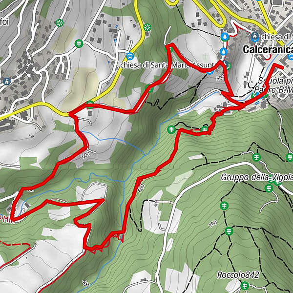
Discovering the mines of Calceranica and Bosentino.
- Difficulty
-
medium
- Rating
-
- Starting point
-
Square of the Town Hall
- Route
-
Bosentino2.3 kmMigazzone2.9 kmCalceranica al Lago4.6 km
- Best season
-
JanFebMarAprMayJunJulAugSepOctNovDec
- Description
-
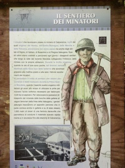
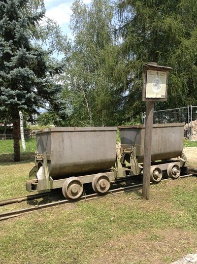
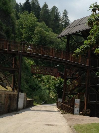
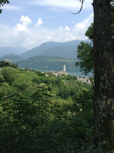
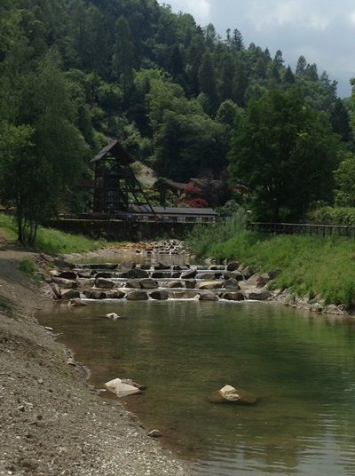
The miner path builds on a route that the miners used to undertake twice a day. It still preserves a wild territory which has a strong natural and landscape aspects. Along the way it will be possible to admire the trace of the old railroad once used to transport the extracted materials, entrances of various tunnels, "the russian prisoners' lair" and the remainings of the sulfuric quarry.
- Directions
-
Difficulty E: Excursionistic Route
The path starts from the "Museo della Miniera" located in the square of the Town Hall and retraces the "Via della Miniera". Following the directions the walk goes on along the path of the miner. This trail leads the visitor to discover the relevant quarries and historical sites of Calceraica and Bosentino. The itinerary develops along an ancient road and goes on through suggestive woods and water flows in an environment of diversified beauty.APT Valsugana - tel. +39 0461 727700 - info@visitvalsugana.it
- Highest point
- 627 m
- Endpoint
-
Square of the Town Hall
- Height profile
-
 © outdooractive.com
 - Equipment
-
The usual outfit for excursions to the mountain is required (hiking clothing and boots, a raincoat in the case of rain).
- Safety instructions
-
Prepare your itinerary Choose an itinerary that suits your physical abilities Choose suitable equipment and repair kit Check weather forecast Setting out by yourself is more risky; if this is the case take a mobile phone Leave information about your itinerary and your expected return time Do not hesitate in placing your trust in aprofessional Pay attention to signposts and directions that you find along your way Do not hesitate in goingback In case of emergency call 112
Please note that the practicability of the itineraries in a mountain environment is strictly linked to the contingent conditions and is therefore influenced by natural phenomena, environmental changes and weather conditions. For this reason, the information contained in this page may have changed. Before leaving for a tour, make sure the path you will approach is still accessible by contacting the owner of the mountain hut, the alpine guides or the visitor centres of the nature parks, the info offices of the local tourist board.
- Tips
-
You can do this path on foot or with the MTB.
- Directions
-
From the Valsugana highway 47, take the exit for Calceranica al Lago.
- Parking
-
Car park in the city centre.
-
-
AuthorThe tour Walk - The Miners' route is used by outdooractive.com provided.