
- Brief description
-
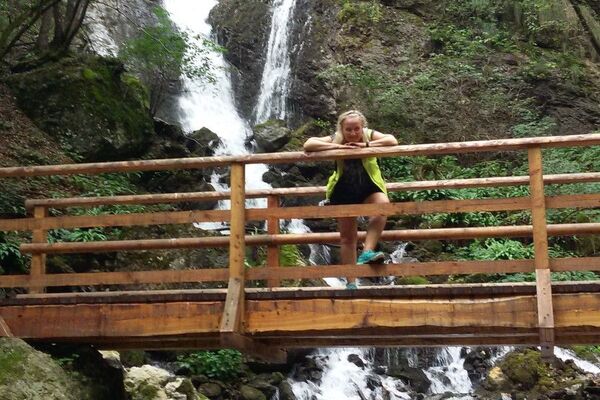
Orchids, lilies and gentians in the wildest part of Monte Baldo
- Difficulty
-
medium
- Rating
-
- Starting point
-
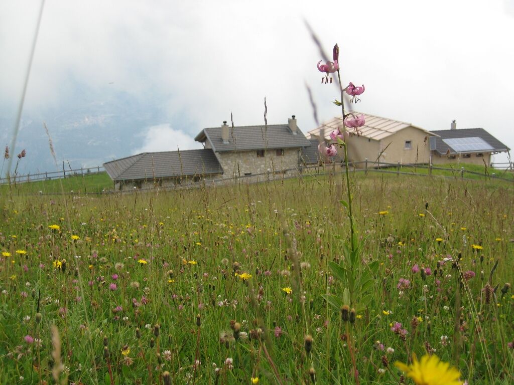
Rifugio Graziani
- Route
-
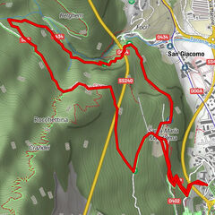
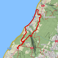
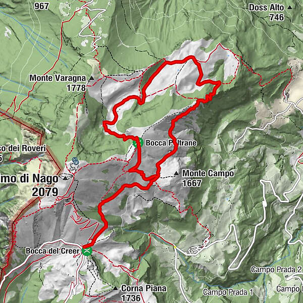
Rifugio Graziani0.0 kmAbisso di Val del Parol4.9 kmVal del Parol5.4 kmRifugio Malga Campei7.0 kmMalga Campo10.5 km
- Best season
-
JanFebMarAprMayJunJulAugSepOctNovDec
- Description
-
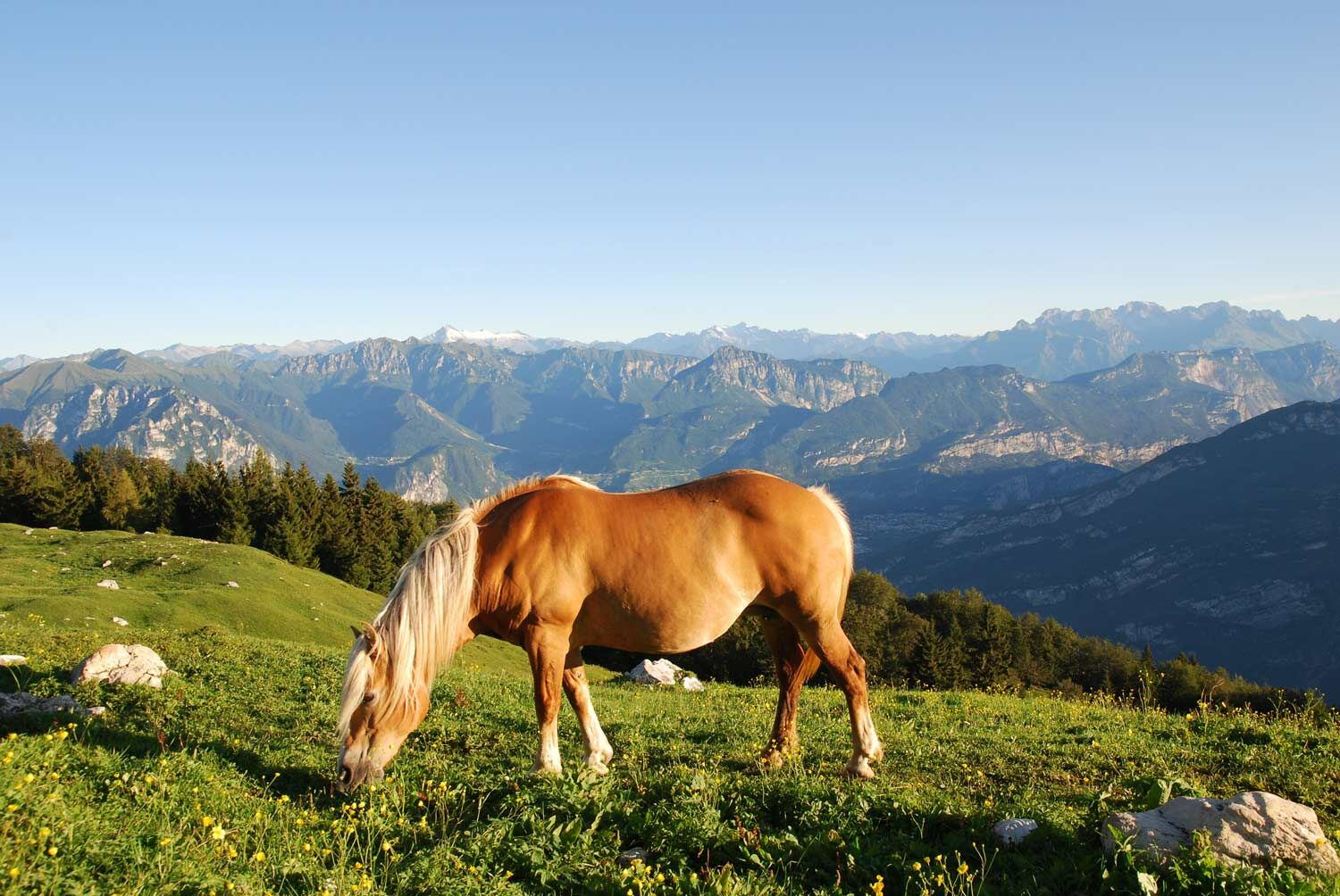
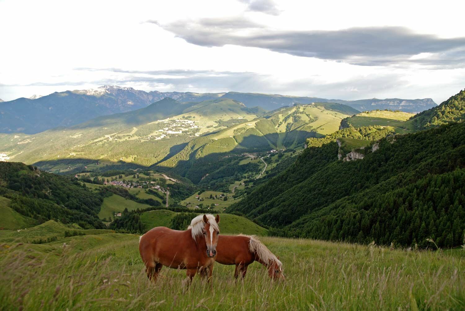
The trail starts from Rifugio Graziani, and is an easy walk through the pastures of Monte Baldo to Malga Campo. Climbing from there, you reach Bocca Paltrane before heading down the opposite slope, and adventuring into the wild Val del Parol.
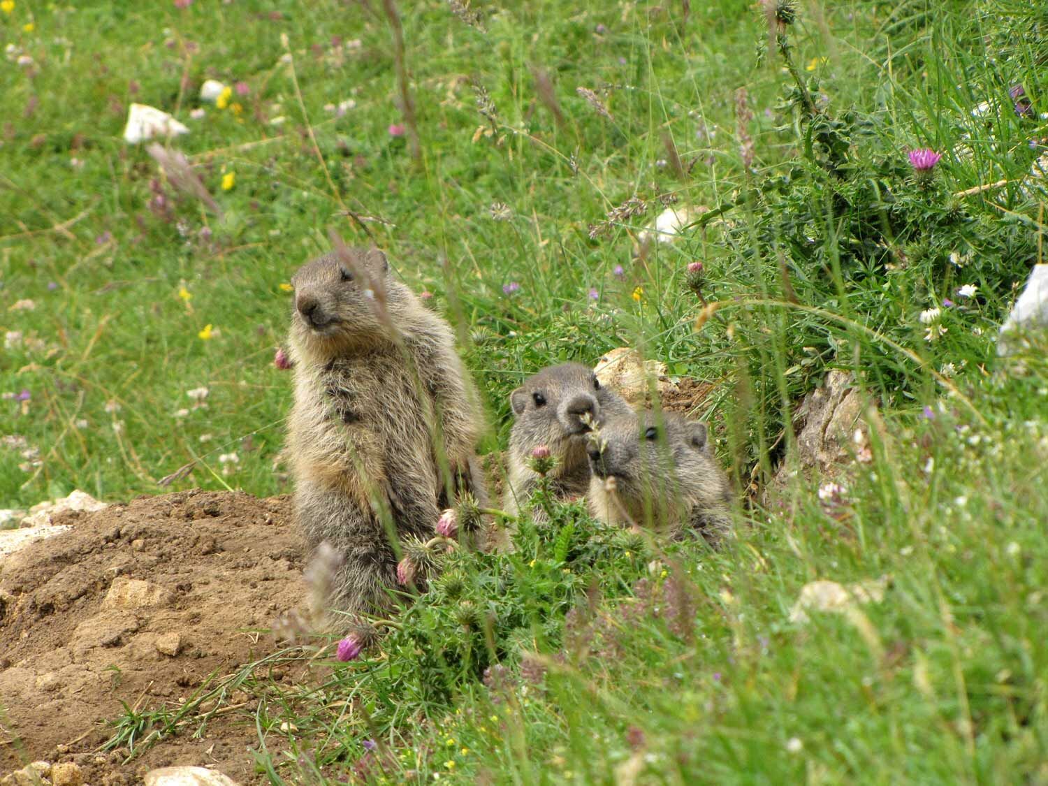
Here, from May to July the precious blossoms of Monte Baldo will accompany you along the route until Rifugio Campei. Look for the little gems hidden in the fields such as the red lily, the small blue gentians and orchids that enlighten the landscape with their colors, and also the green bushes such as the rhododendron and the blueberry. On the rocks you can find one of the rarest flowers of the mountain, the silver geranium.
The return is semi level with some amazing glimpses of Brentonico plateau.
- Directions
-
From Rifugio Graziani take the road 650 up to Malga Campo. Go past the malga and take path 622 to Bocca Paltrane. From here, go down to Val del Parol, first on the path and then on the dirt road that leads to Malga Campei. Return from path 650 in the direction of the Graziani Refuge, passing through Malga Campo.
- Highest point
- 1,821 m
- Endpoint
-
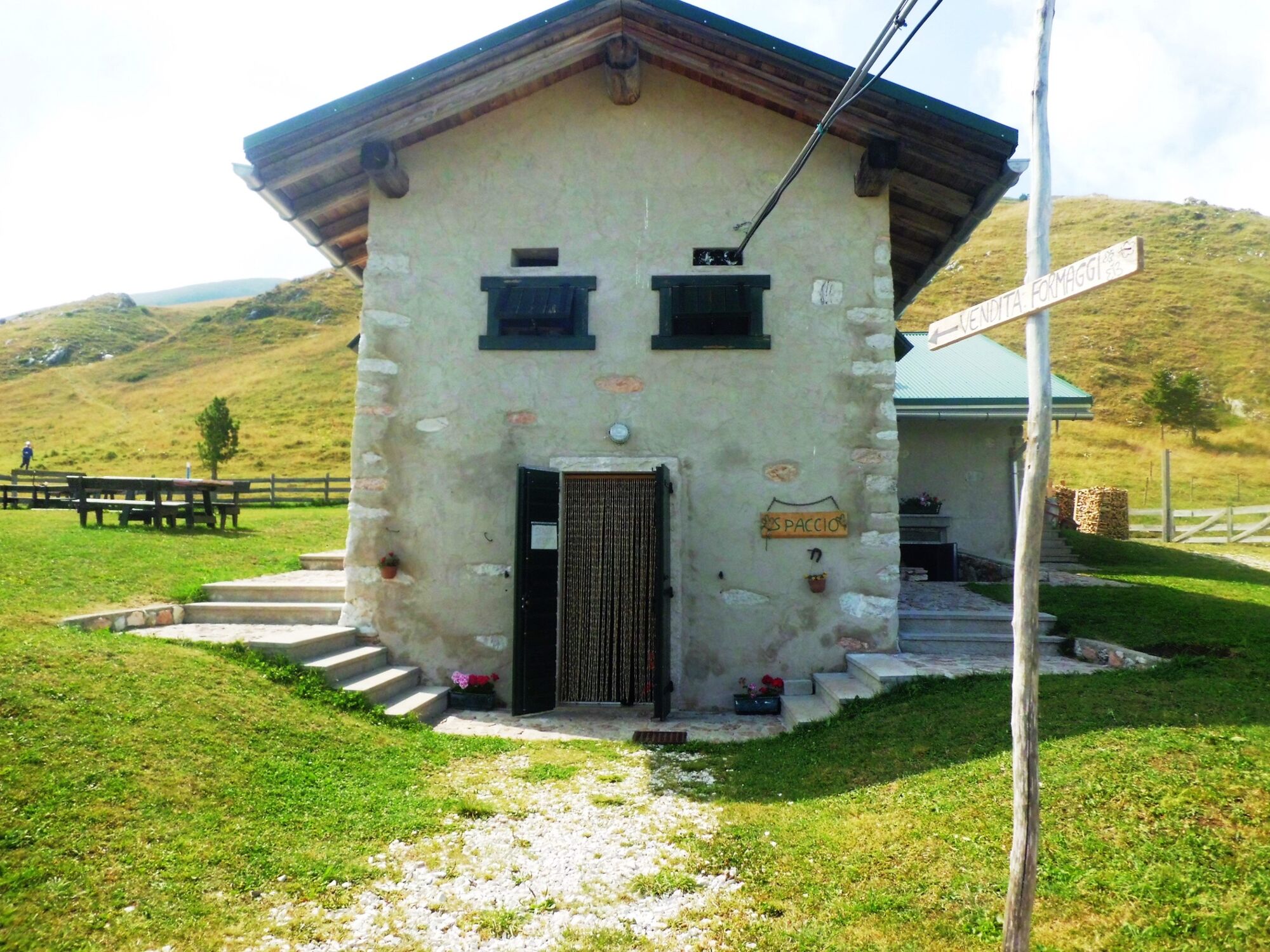
Malga Campei
- Height profile
-
 © outdooractive.com
 - Equipment
-
We recommend that you wear or bring basic hiking equipment with appropriate clothing and footwear.
- Safety instructions
-
Between Malga Campo and the "Penege" before the Val del Parol there is a small stretch of exposed route, pay particular attention to children.
Please note that the practicability of the itineraries in a mountain environment is strictly linked to the contingent conditions and is therefore influenced by natural phenomena, environmental changes and weather conditions. For this reason, the information contained in this page may have changed. Before leaving for a tour, make sure the path you will approach is still accessible by contacting the owner of the mountain hut, the alpine guides or the visitor centres of the nature parks, the info offices of the local tourist board.
- Tips
-
A rather easy loop, requiring a basic level of physical training. As the trail is completely exposed to the sun, we recommend you to bring some cool drinks with you.
- Directions
-
From the Rovereto Sud motorway exit, continue first towards Mori and then towards the Brentonico Plateau along the SP3. Go past the town of Brentonico and at the crossroads keep right towards San Valentino until you reach the pass of the same name. From here, continue straight for 7 km until you reach the Rifugio Graziani, where you will find a parking.
- Public transportation
-
For most of the year there are no scheduled buses that take you to the Rifugio Graziani. You can arrive by bus only up to Brentonico, we suggest that you consult the timetables in advance on the Trentino Trasporti portal.
A shuttle bus runs two days a week from Brentonico to the Rifugio Graziani only during the summer period. For further information, contact the Brentonico Tourist Office on +39 0464 395149.
- Parking
-
Near the Rifugio Graziani you can easily find parking.

-

-
AuthorThe tour Hike to “Val del Parol” is used by outdooractive.com provided.