


- Brief description
-
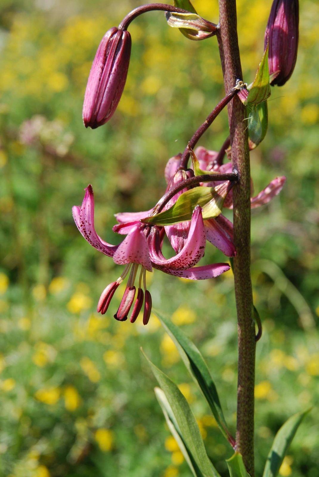
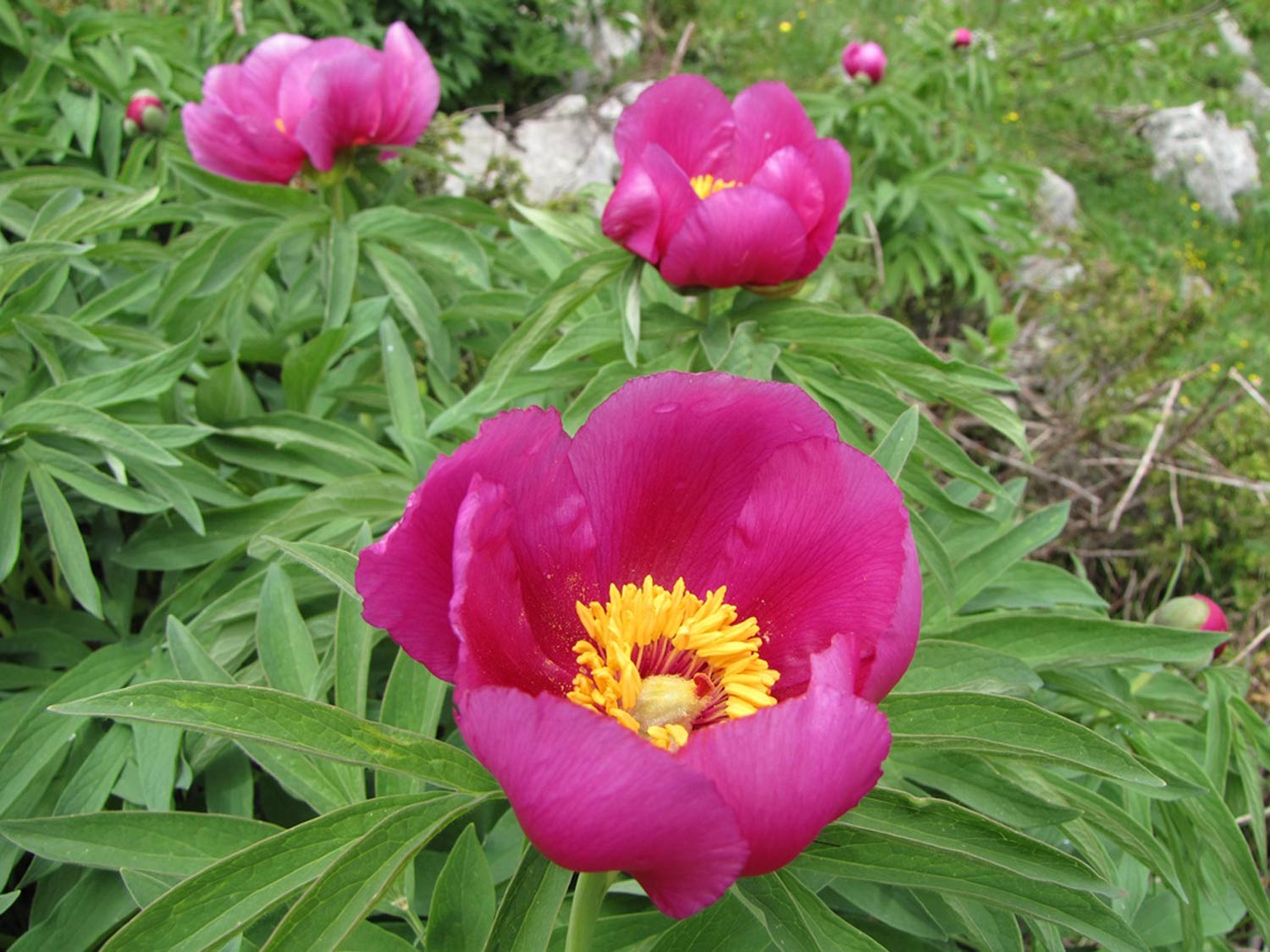
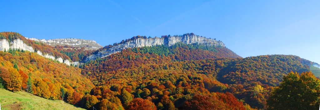
Blossoms unique to the world in Parco del Monte Baldo
- Difficulty
-
difficult
- Rating
-
- Starting point
-
Passo di San Valentino
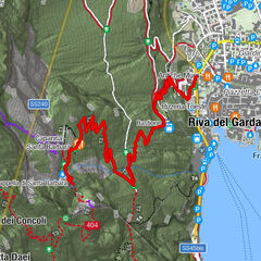
- Route
-
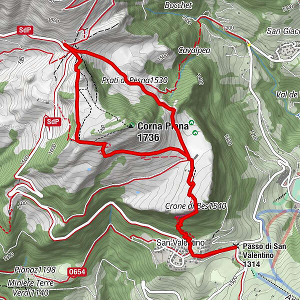
San Valentino0.4 kmCrone di Bes (1,540 m)1.1 kmPrati di Pesna (1,530 m)2.6 kmRifugio Graziani3.3 km
- Best season
-
JanFebMarAprMayJunJulAugSepOctNovDec
- Description
-
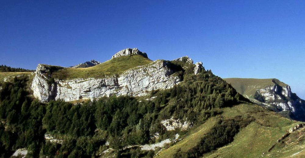
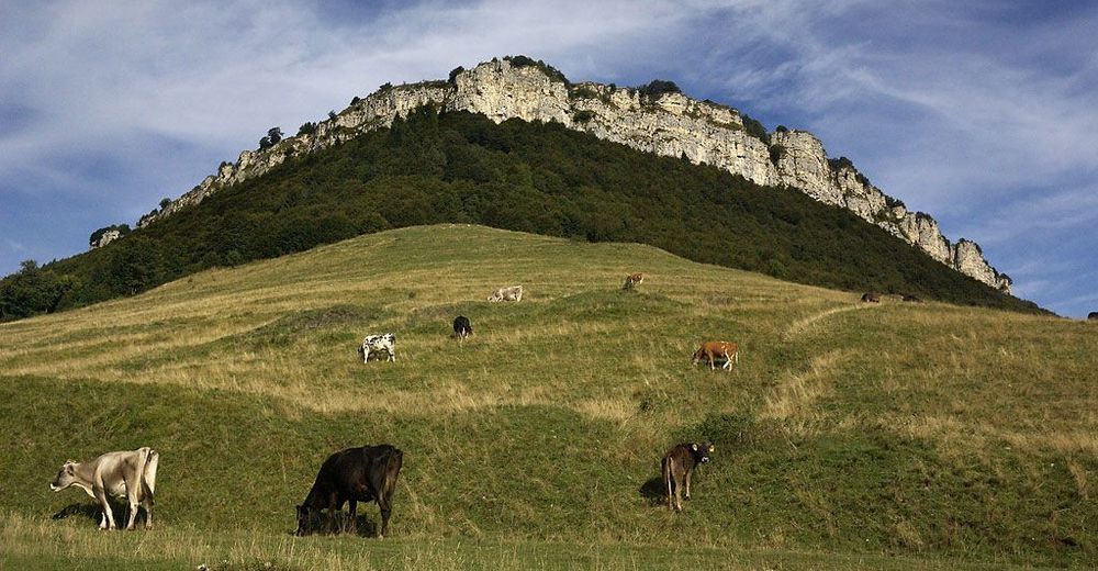
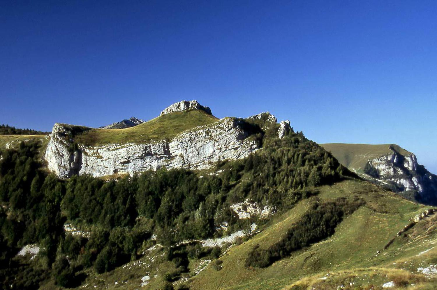
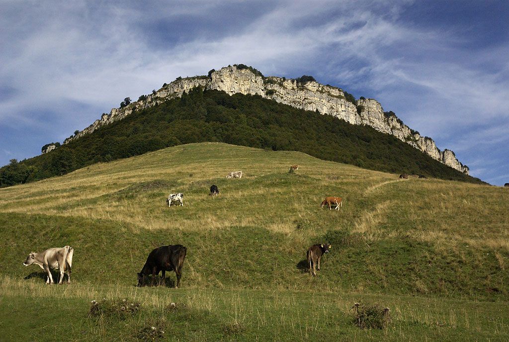
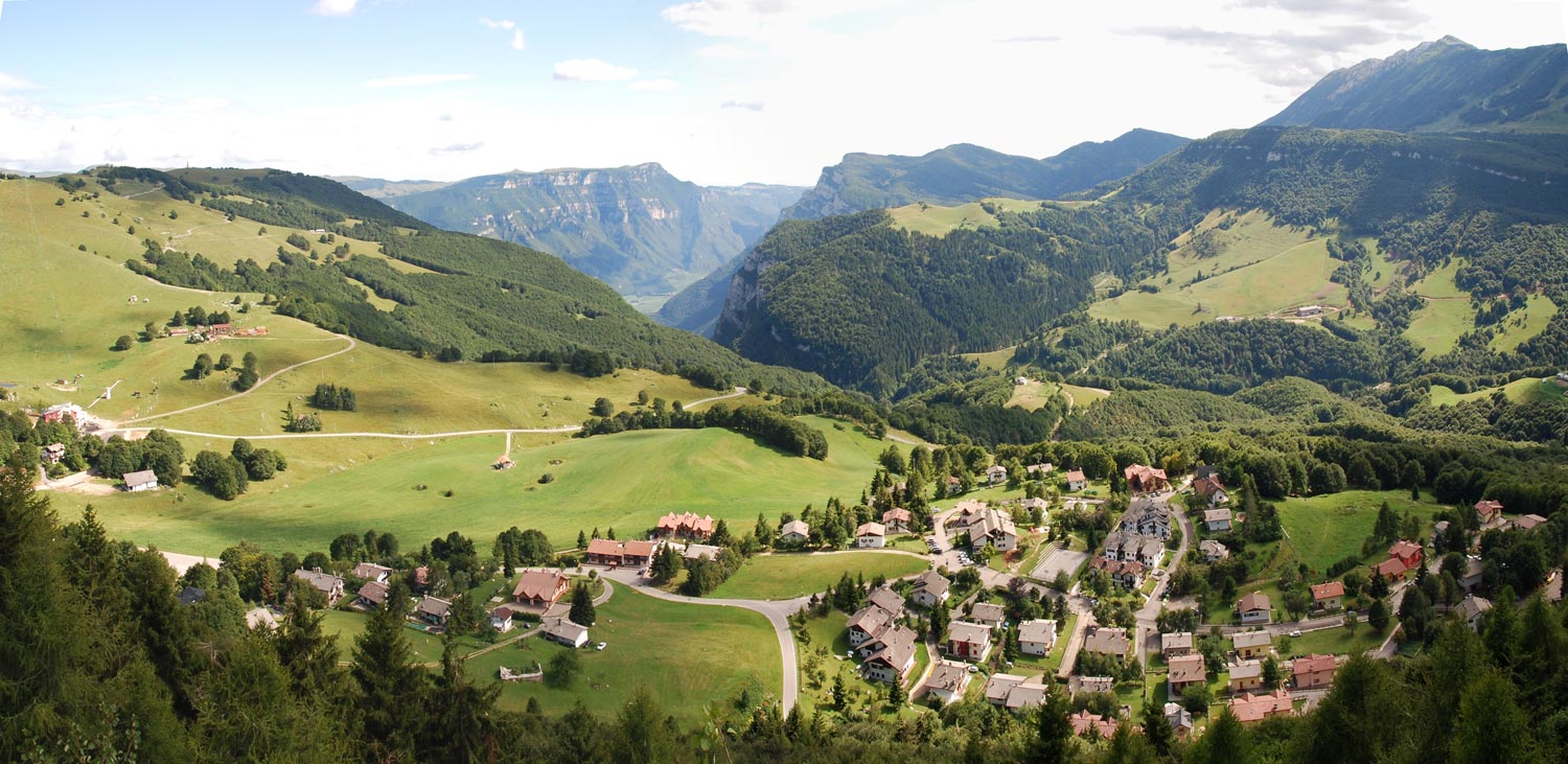
The hike through Parco del Monte Baldo starts from Passo di San Valentino to then climb through the beech wood forest and scramble up the rocky crown of Bes. From here you can admire the dizzying panorama of Villaggio Pianeti and of Terre Verdi, to then reach the pastures of Malga Bes. From the meadows you will continue to climb to Rifugio Graziani then up the trail which leads to the peak of Corna Piana, famous for its native botanical species. Cross the military posts of Corna Piana’s most panoramic area, then head back down to Bes to complete the excursion by picking up the Passo di San Valentino from the path you started out on. An easier, possible variation: during the return from Corna Piana reach Rifugio Fos-ce and then continue along the road until Passo di San Valentino. A loop route with a small exposed stretch. The excursion to the Riserva Botanica di Bes – Corna Piana requires a basic level of physical training and is not suitable for small children or anyone who suffers from vertigo.
- Highest point
- 1,684 m
- Endpoint
-
Passo di San Valentino
- Height profile
-
 © outdooractive.com
 - Safety instructions
-
Please note that the practicability of the itineraries in a mountain environment is strictly linked to the contingent conditions and is therefore influenced by natural phenomena, environmental changes and weather conditions. For this reason, the information contained in this page may have changed. Before leaving for a tour, make sure the path you will approach is still accessible by contacting the owner of the mountain hut, the alpine guides or the visitor centres of the nature parks, the info offices of the local tourist board.
- Directions
-
Equipped Sentiero (“trail”) 650 “delle Vipere”, 650 – 633 to Rifugio Graziani, then uphill to Corna Piana and again onto 650 to return to S.Valentino


-

-
AuthorThe tour Botanical Reserve Bes – Corna Piana is used by outdooractive.com provided.