


- Brief description
-
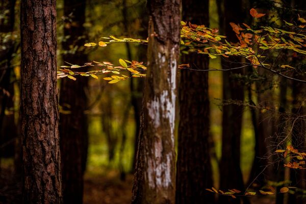
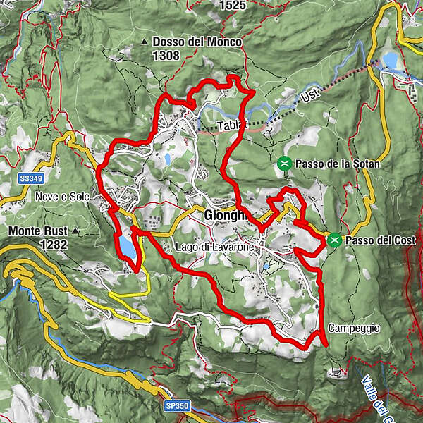
Lavarone Trekking is a path of circular shape joining the fringe hamlets of the plateau togheter and connecting them to the central villages and vice versa.
- Difficulty
-
medium
- Rating
-
- Starting point
-
Your choice
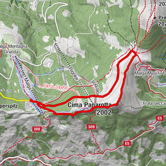
- Route
-
GionghiCappella0.3 kmGasperi0.7 kmMagrè1.5 kmLonghi3.0 kmOseli4.7 kmMasi di Sotto5.5 kmChiesa9.5 kmLanzino10.7 kmStengheli11.1 kmBertoldi12.0 kmSlaghenaufi12.8 kmGionghi15.1 km
- Best season
-
JanFebMarAprMayJunJulAugSepOctNovDec
- Description
-
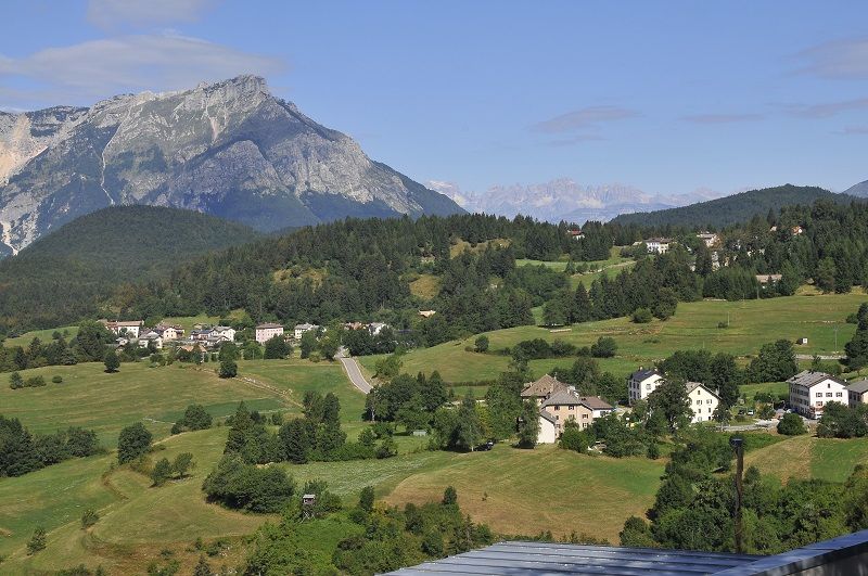
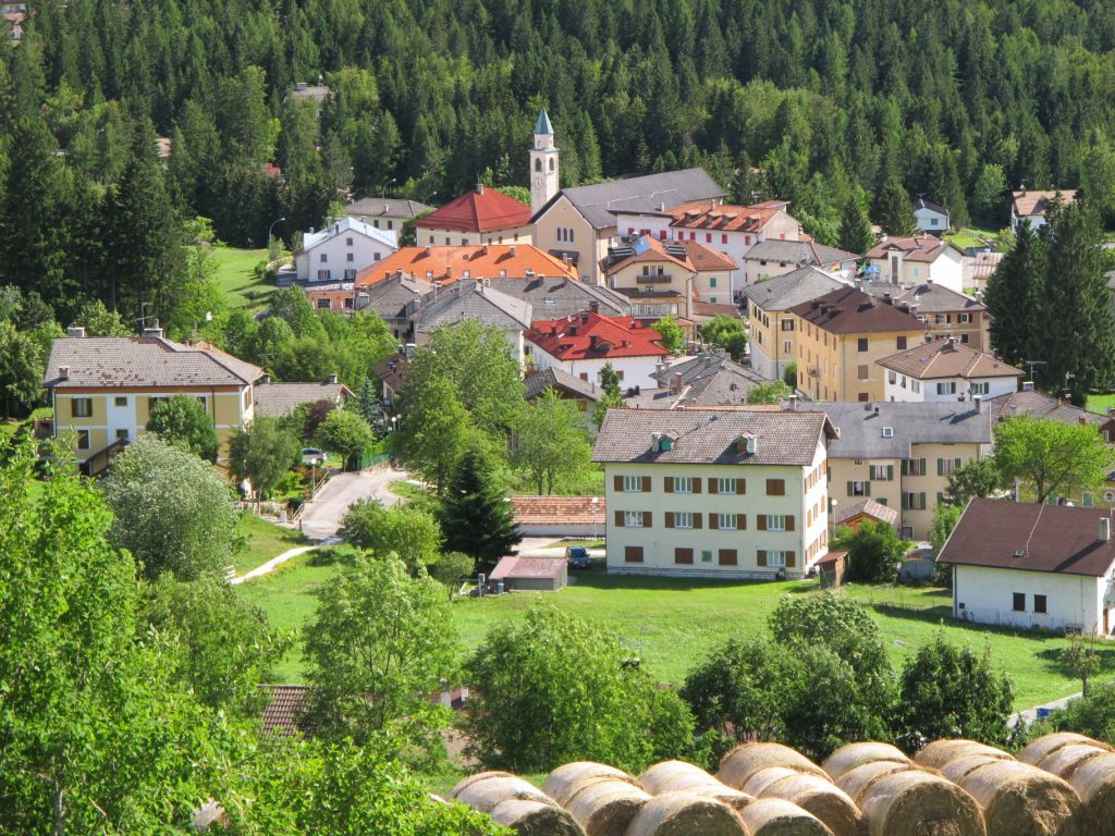
Lavarone Trekking is a path of circular shape joining the fringe hamlets of the plateau togheter (12 out of 18) and connecting them to the central villages and vice versa. The trekking can be ideally divided into four trails: Oberof, Stickel, Laste, Lago. Next to the beauties of the landscape, you will also know and taste the typical products of the local farms that contributed to the realization of this exciting walk.
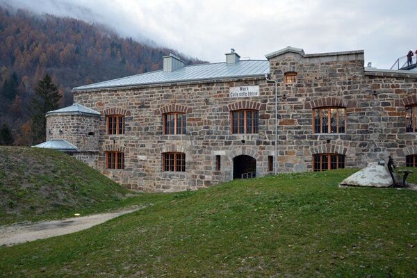
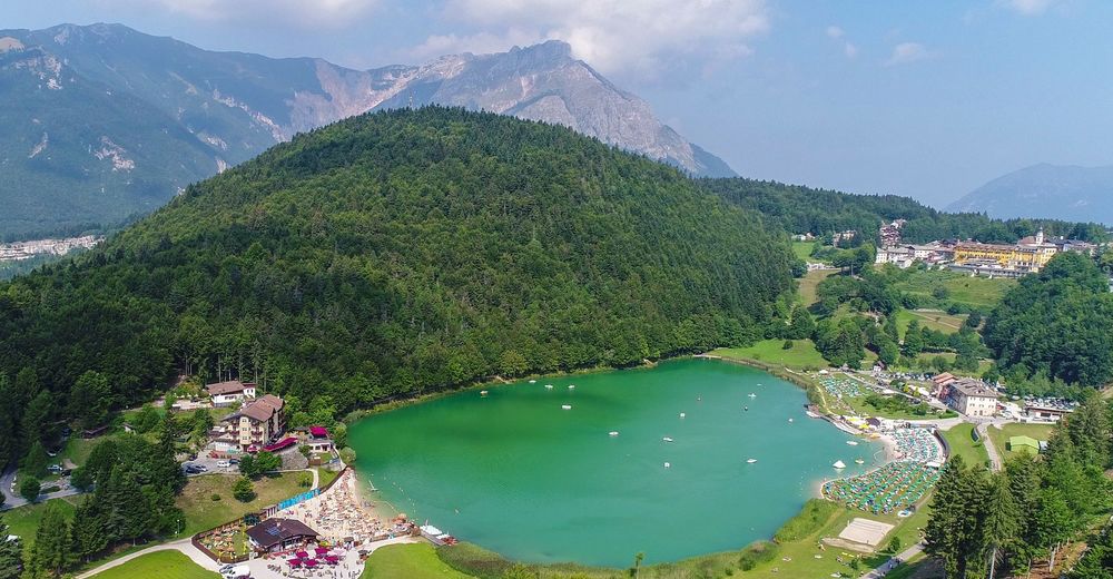
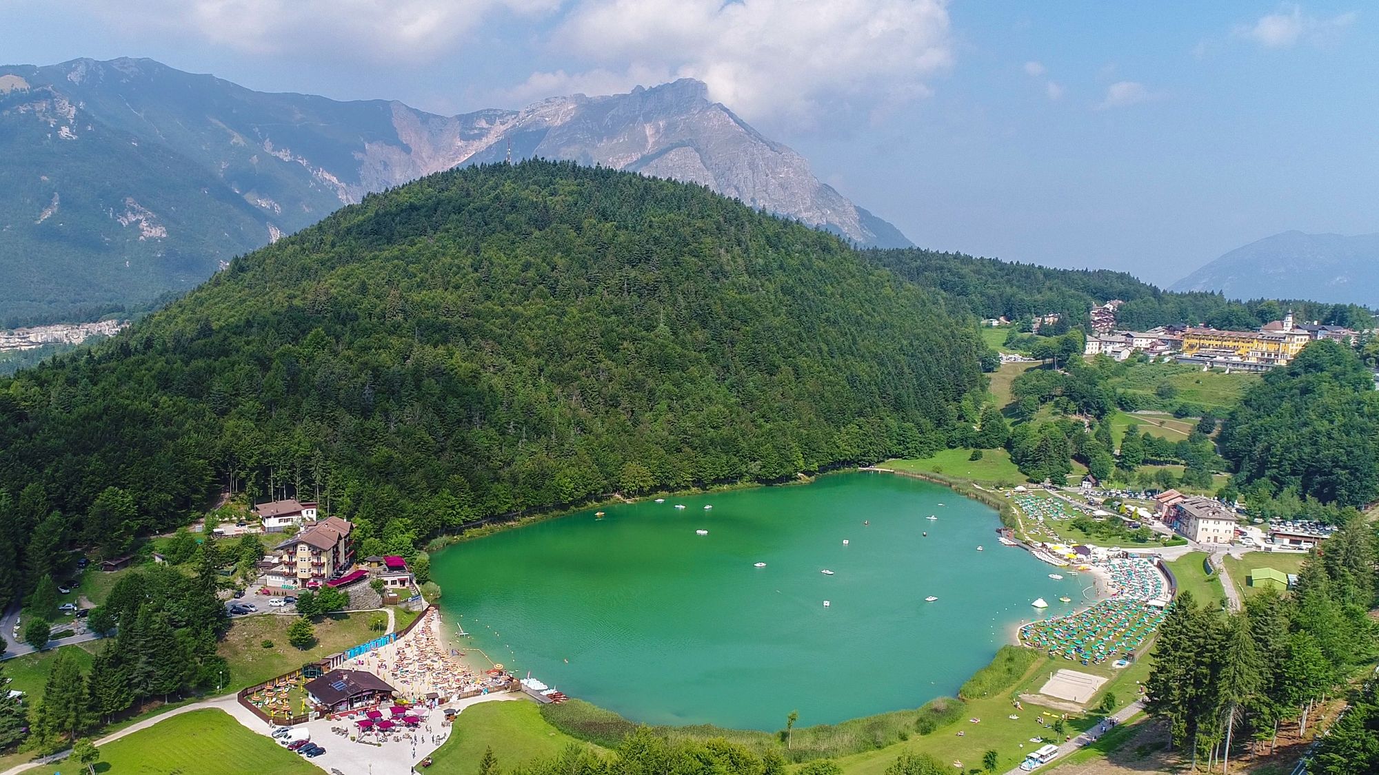
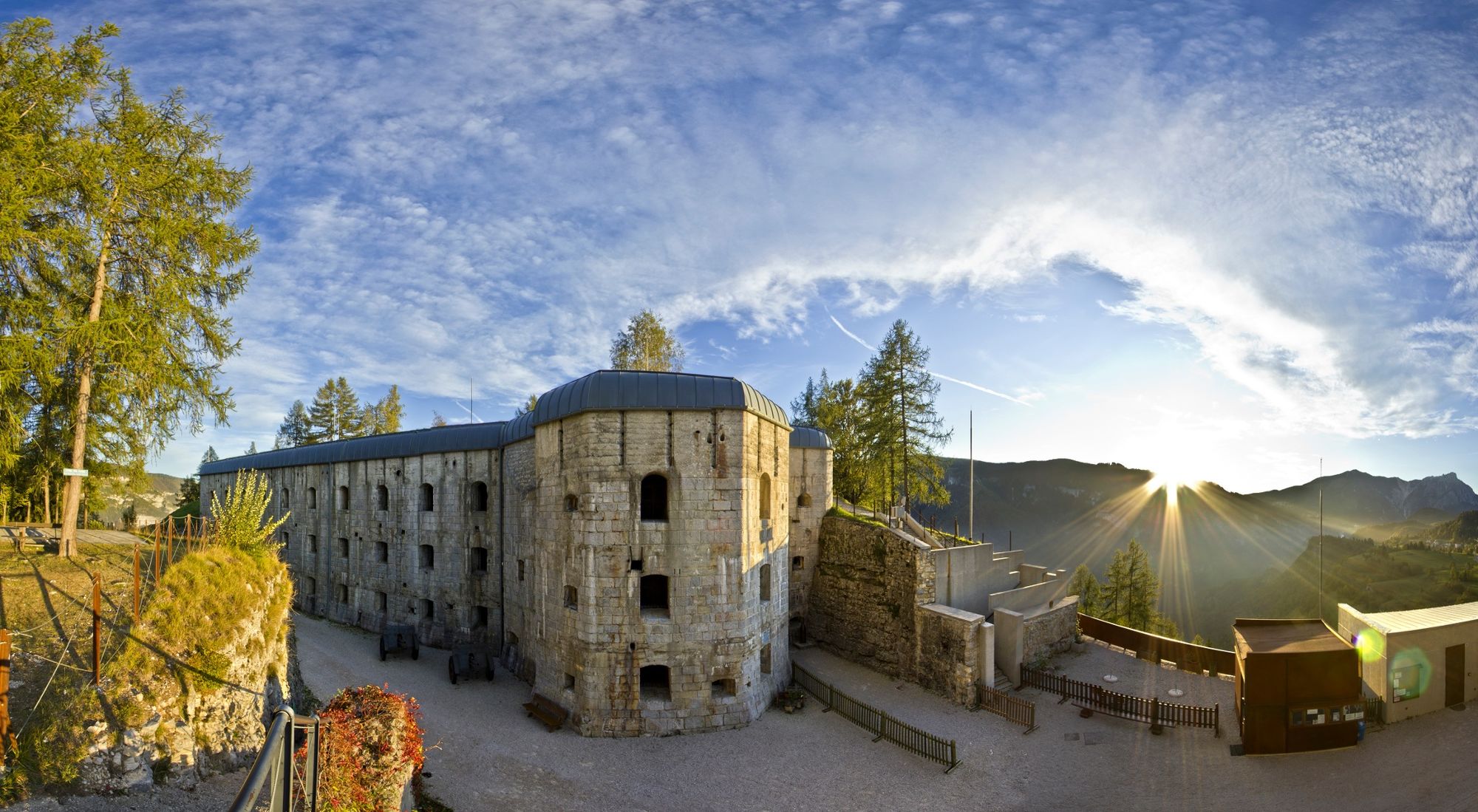
Sights: Historic centres of Bertoldi, Gionghi, the Austro-Hungarian cemetery of Slaghenaufi, the Fortress Belvedere Gschwent, votive chapels, rural churches, the lake, the characteristic "laste"
- Highest point
- 1,311 m
- Height profile
-
 © outdooractive.com
 - Safety instructions
-
Please note that the practicability of the itineraries in a mountain environment is strictly linked to the contingent conditions and is therefore influenced by natural phenomena, environmental changes and weather conditions. For this reason, the information contained in this page may have changed. Before leaving for a tour, make sure the path you will approach is still accessible by contacting the owner of the mountain hut, the alpine guides or the visitor centres of the nature parks, the info offices of the local tourist board.


- Author
-
The tour Lavarone Trekking is used by outdooractive.com provided.