
- Brief description
-
Let's discover an important part of the history of the Trentino region!
- Difficulty
-
easy
- Rating
-
- Starting point
-
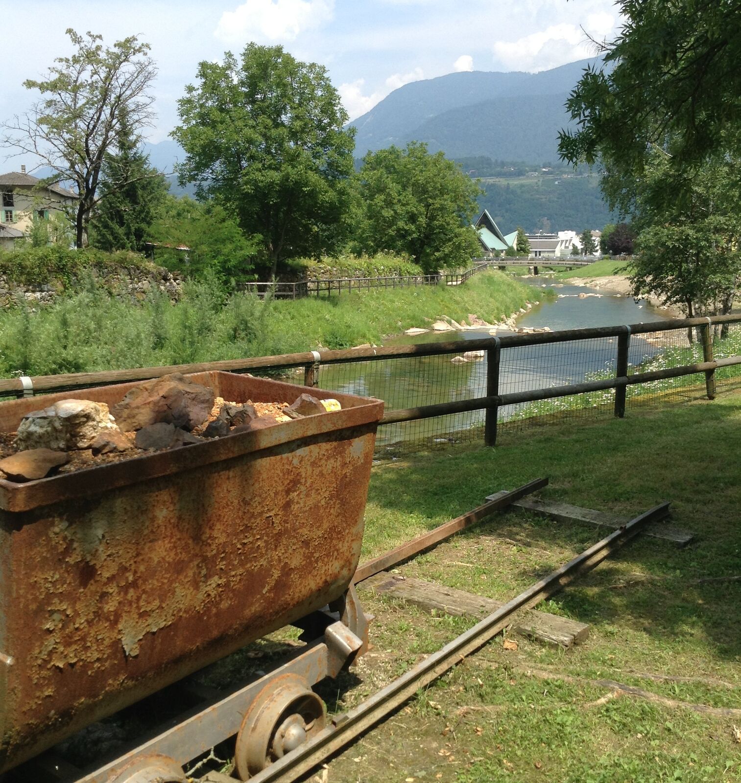
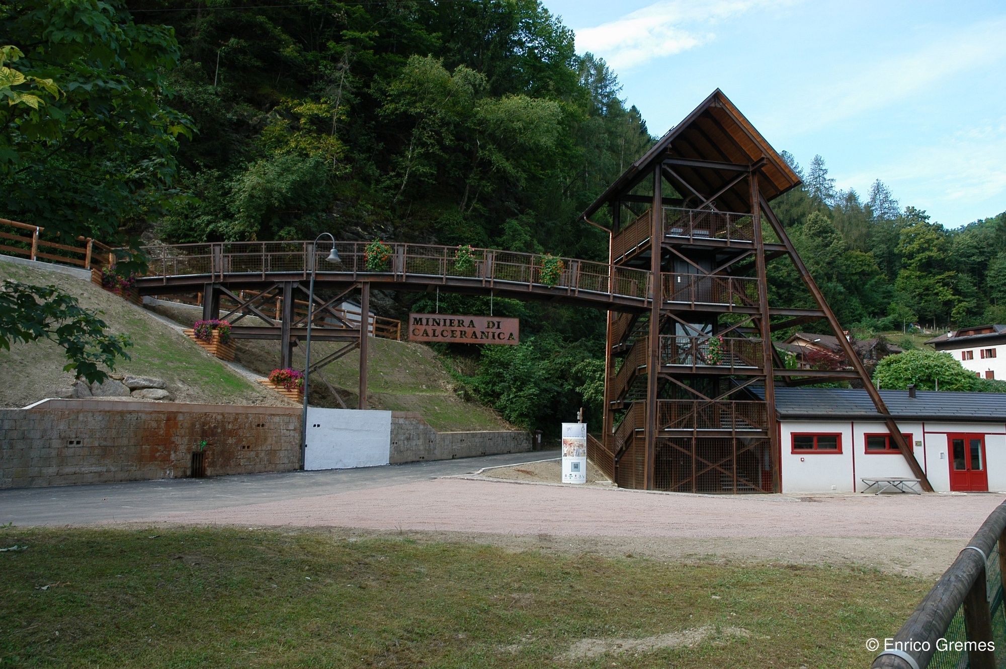
The Mining Museum
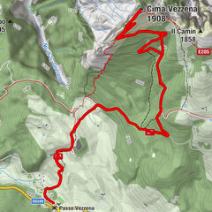
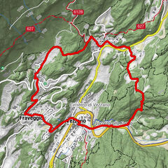
- Route
-
Calceranica al Lago0.7 km
- Best season
-
JanFebMarAprMayJunJulAugSepOctNovDec
- Description
-
The trip in the mine can be better enjoyed and understood when accompanied by an expert guide, who will introduce the visitor to the characteristics of the area with historical, geographic and natural proofs. It is a place with a millenial history, testified by the findings that are dated back to pre-history: this is the Minerary of Calceranica.
- Directions
-
Difficulty T: Touristic Route
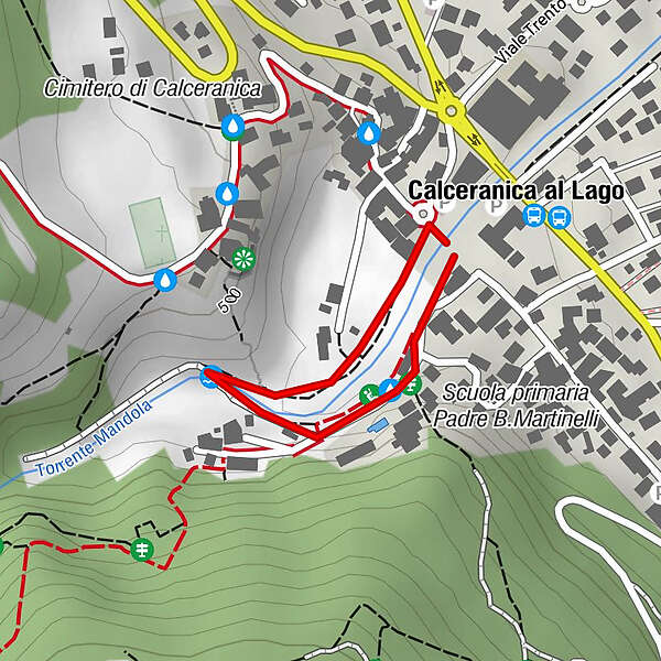
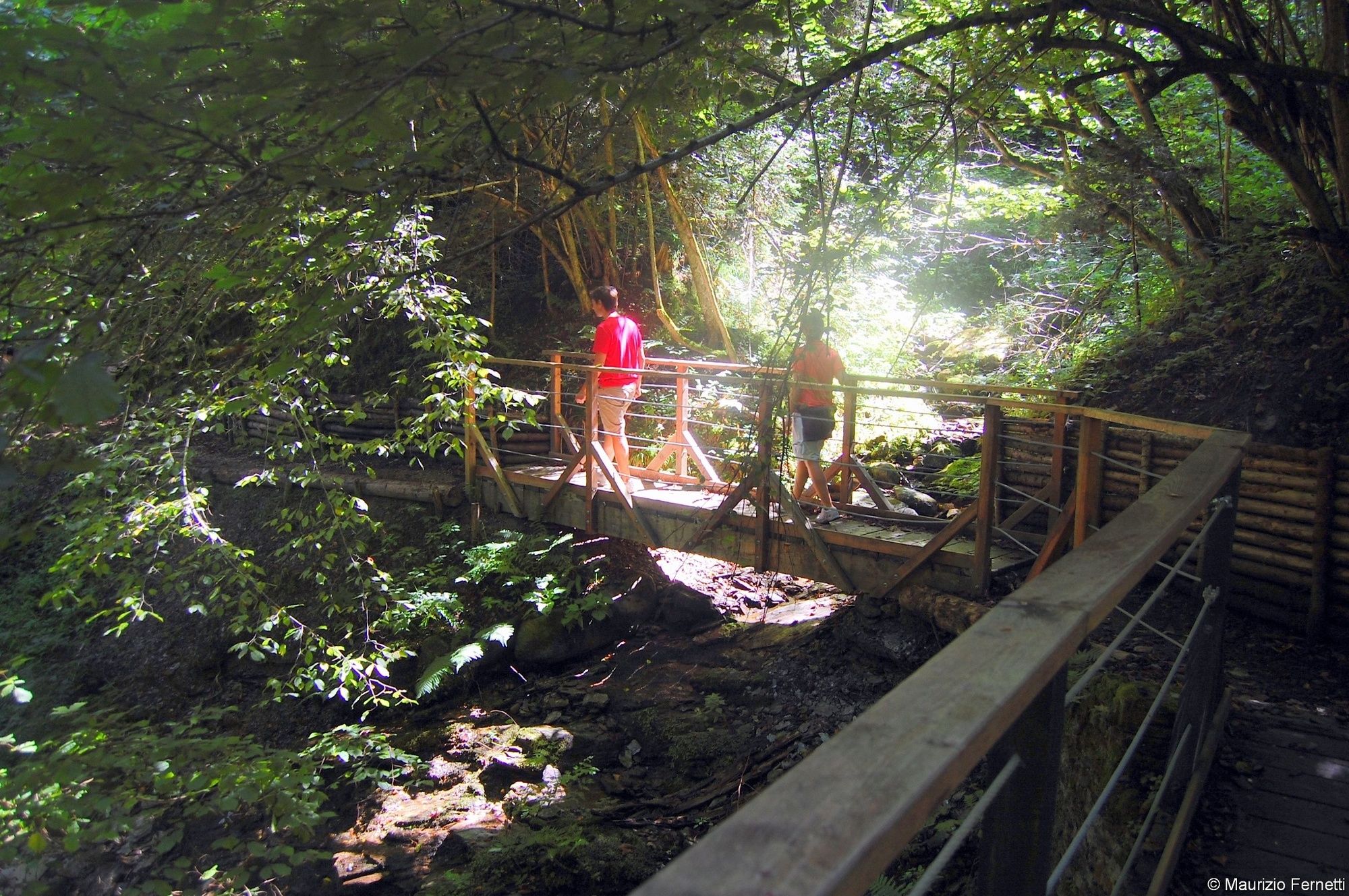
This walk, which starts from the Mining Museum takes you to visit and get to know the important historic mining sities of Calceranica and Bosentino. The path winds its way along an ancient roman road and continues through enchanting woods and waterways in an environment of surprising and varying beauty and then goes back along the Miner's Path.
- Highest point
- 479 m
- Endpoint
-
The Mining Museum
- Height profile
-
 © outdooractive.com
 - Equipment
-
The usual outfit for excursions to the mountain is advised (hiking boots and clothing, a raincoat in the case of rain).
- Safety instructions
-
Prepare your itinerary
Choose an itinerary that suits your physical abilities
Choose suitable equipment and repair kit
Check weather forecast
Setting out by yourself is more risky; if this is the case take a mobile phone
Leave information about your itinerary and your expected return time
Do not hesitate in placing your trust in a professional
Pay attention to signposts and directions that you find along your way
Do not hesitate in going back
In case of emergency call 112
Please note that the practicability of the itineraries in a mountain environment is strictly linked to the contingent conditions and is therefore influenced by natural phenomena, environmental changes and weather conditions. For this reason, the information contained in this page may have changed. Before leaving for a tour, make sure the path you will approach is still accessible by contacting the owner of the mountain hut, the alpine guides or the visitor centres of the nature parks, the info offices of the local tourist board.
- Additional information
-
The gpx track that can be visioned or downloaded for this trail is just to provide an indication, since once the Mine is reached, the trails indicated on the informational boards can be followed.
- Directions
-
From the Valsugana highway 47, take the exit for Caldonazzo and reach Calceranica al Lago.
-
-
AuthorThe tour Walk - mine path Green route is used by outdooractive.com provided.