From Lake Tovel to Malga Flavona in the heart of the Brenta Dolomites


- Brief description
-
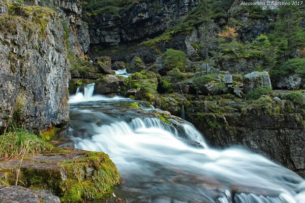
Lake Tovel and the amphitheatre of the Brenta Dolomites set the scene for this memorable trekking trail.
- Difficulty
-
medium
- Rating
-
- Starting point
-
Lake Tovel
- Route
-
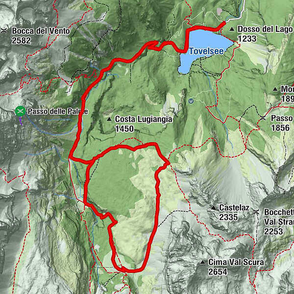
Albergo Lago Rosso1.2 kmMalga Flavona8.2 kmAlbergo Lago Rosso16.7 km
- Best season
-
JanFebMarAprMayJunJulAugSepOctNovDec
- Description
-
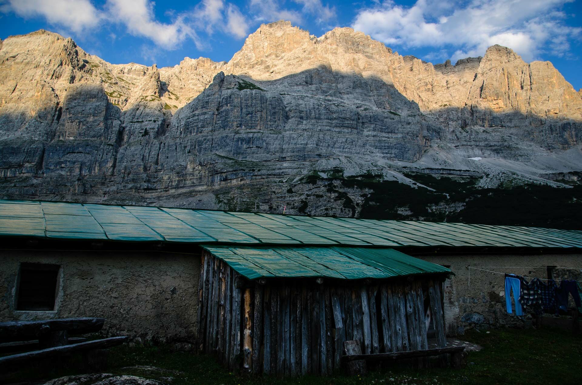
A very rewarding hike, ideal to take your time over a whole day, even with children. The itinerary includes some of the most spectacular spots in the Brenta Dolomites: the famous Lake Tovel and the spectacular Val Flavona and its malga mountain hut, the green pastures dotted here and there with prehistoric fossils.
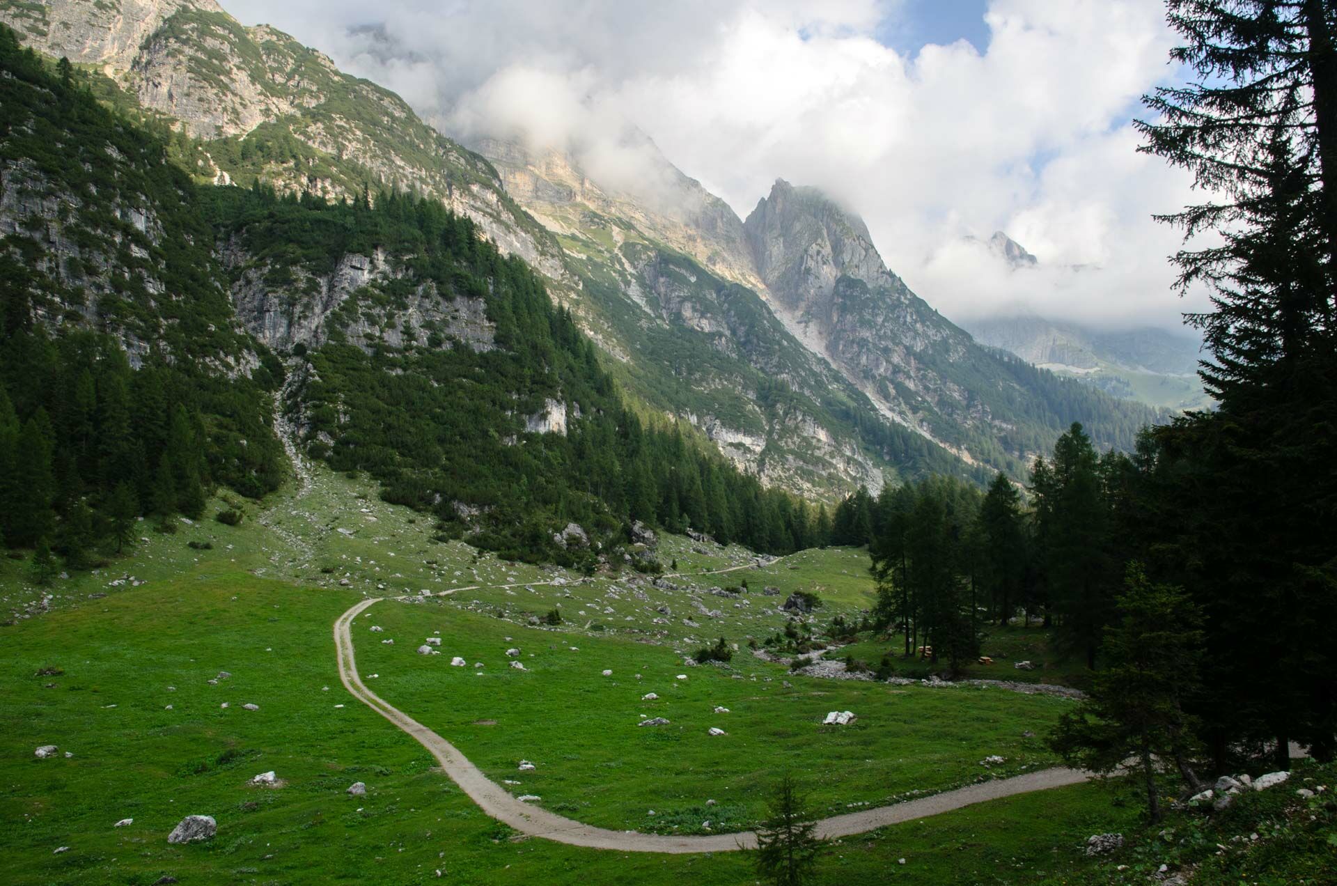
From Lake Tovel to Malga Pozzol, the majority of the trail follows the forest road along the valley of the Tresenica stream. From Malga Pozzol, the climb becomes steeper and you will quickly find yourself in the magnificent larch forest, and then in the vast meadows that open towards Malga Flavona.
- Directions
-
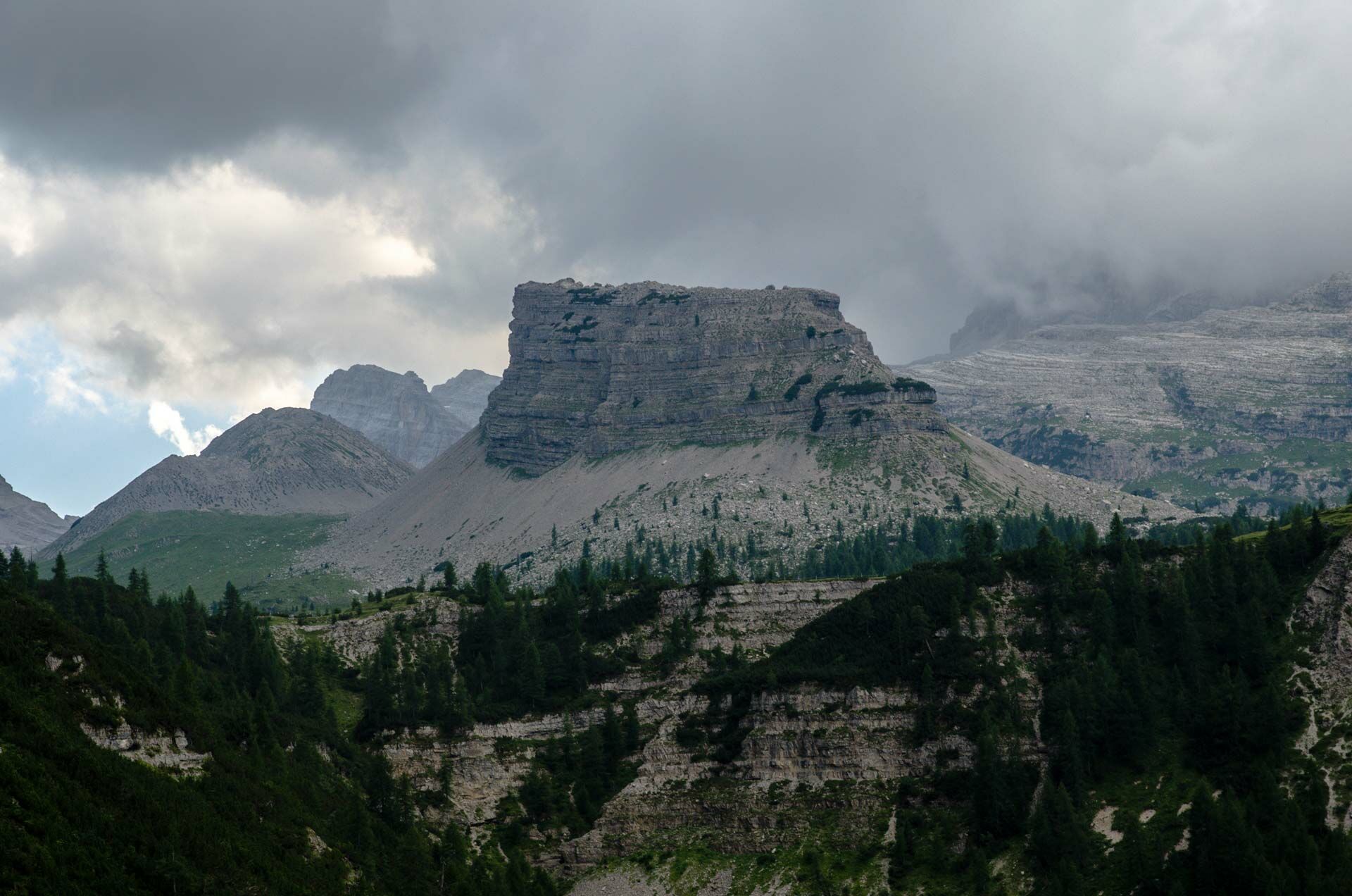
From Lake Tovel, follow trail marker 314 (forest road) to the first large clearing, where you’ll find a wooden bridge over the stream. Just before the bridge, take trail 369 (a narrow road) which you should leave after a few hundred metres, to take the trail climbing up towards the North on the right. You will shortly reach the stream again, and then the gravel road to Malga Pozzol. At the malga mountain hut, take trail 371 which initially leads you into a rather steep section of the woods and then opens into one of the most spectacular settings in the Alpine arc: the high-altitude prairies surrounded to the East and West by rock cathedrals, leading to Malga Flavona along a convenient mule track. The return leg is along trail 330 and then onto the magnificent trail 369 until you reach the junction with trail 314, and then follow the convenient forest road again back to Lake Tovel.
- Highest point
- 1,894 m
- Endpoint
-
Lake Tovel
- Height profile
-
 © outdooractive.com
 - Safety instructions
-
Please note that the practicability of the itineraries in a mountain environment is strictly linked to the contingent conditions and is therefore influenced by natural phenomena, environmental changes and weather conditions. For this reason, the information contained in this page may have changed. Before leaving for a tour, make sure the path you will approach is still accessible by contacting the owner of the mountain hut, the alpine guides or the visitor centres of the nature parks, the info offices of the local tourist board.
- Additional information
-
https://www.visitvaldinon.it/en/poi/lake-tovel-useful-information/
Malga Flavona is one of the stop-off points for hikers facing the challenging stage-tour of the Brenta Dolomites - the Brenta Trek Expert. To find out more, visit https://www.dolomitibrentatrek.it/en
- Directions
-
Val di Tovel and the Adamello Brenta Nature Park can be reached from the town of Tuenno (located along provincial road no. 73), taking provincial road no. 14 from Val di Tovel alongside the Rio Tresenga brook.
- Public transportation
-
A local train links Trento to Cles in a journey of approximately 45 minutes. From Cles, there are regular coaches and even shuttle buses during the summer leading you to the car park at Lake Tovel.
- Parking
-
100 metres from Lake Tovel. In the summer, access to the lake is via the shuttle bus service from Cles, from Tuenno or from the car park in “Capriolo”.


- Author
-
The tour From Lake Tovel to Malga Flavona in the heart of the Brenta Dolomites is used by outdooractive.com provided.