


- Brief description
-
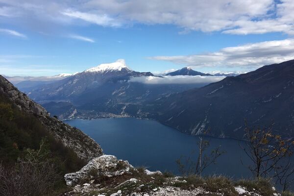
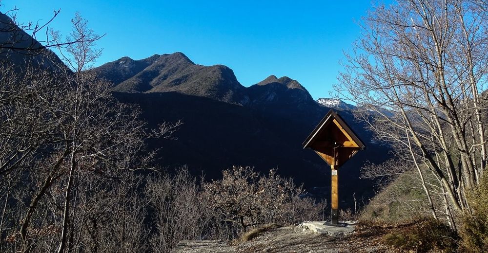
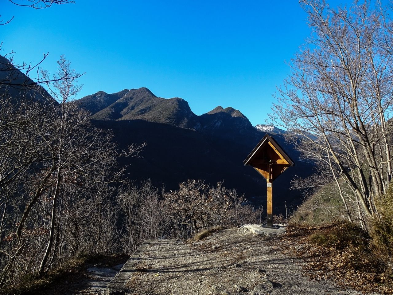
This trail is highly recommended for all history fans: a visit to the system of tunnels in Cima Rocca together with breathtaking views of Lake Garda
- Difficulty
-
difficult
- Rating
-
- Starting point
-
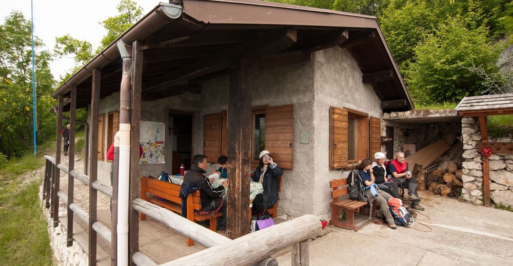
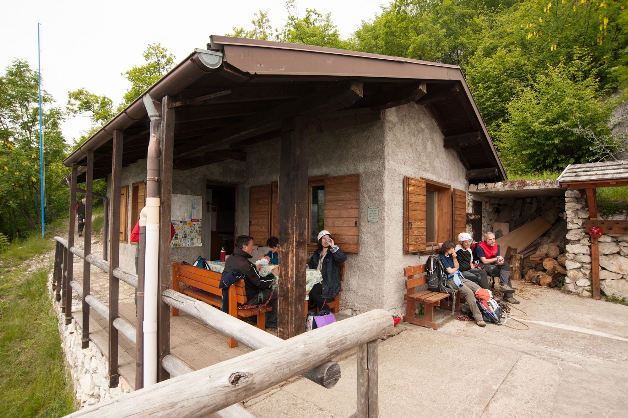
Biacesa - Ledro
- Route
-
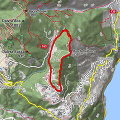
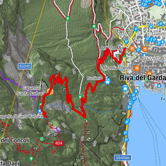
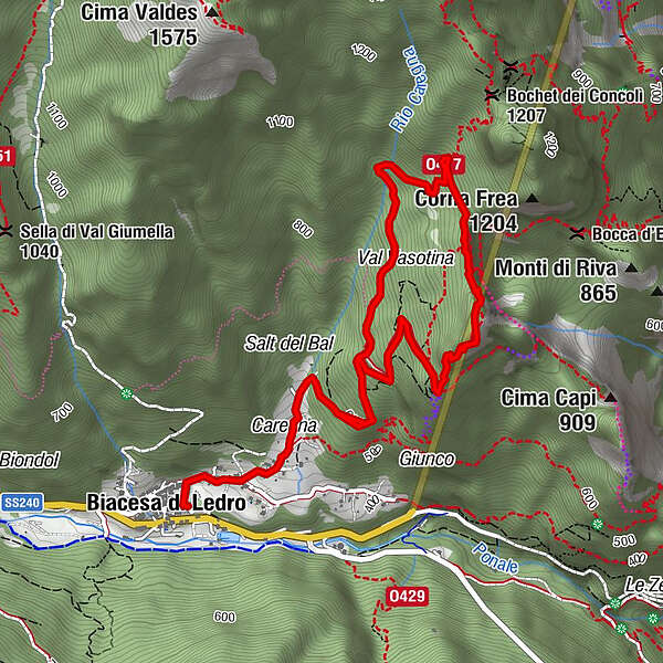
Biacesa di Ledro0.0 kmCaregna0.6 kmChiesa di San Giovanni Battista2.3 kmBivacco Arcioni2.4 kmCima Rocca (1,090 m)2.9 kmRiva del Garda3.7 kmCaregna6.0 kmBiacesa di Ledro6.6 km
- Best season
-
JanFebMarAprMayJunJulAugSepOctNovDec
- Description
-
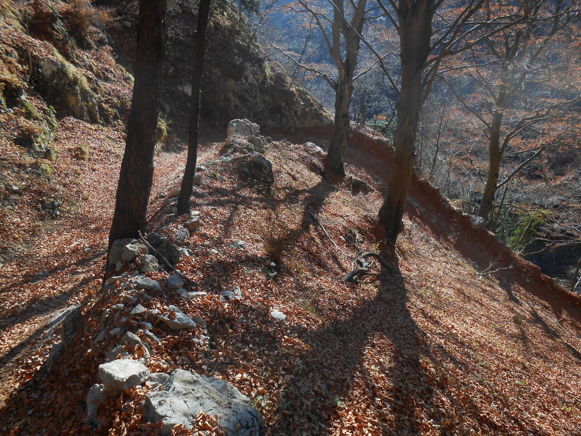
The Great War left indelible traces all over Garda Trentino and here they are clearly visible and tangible. In this area you can see the vast forces brought into play by the Austro-Hungarian army in order to protect this crucial border, constructing defences which from our modern perspective are hard to believe were possible.
The many branches of the tunnels, closed off to the public for safety reasons are proof of the intentions of the Austro-Hungarian army to further expand the fortifications and unite the lower and upper parts of the tunnel system
- Directions
-
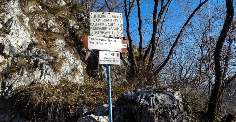
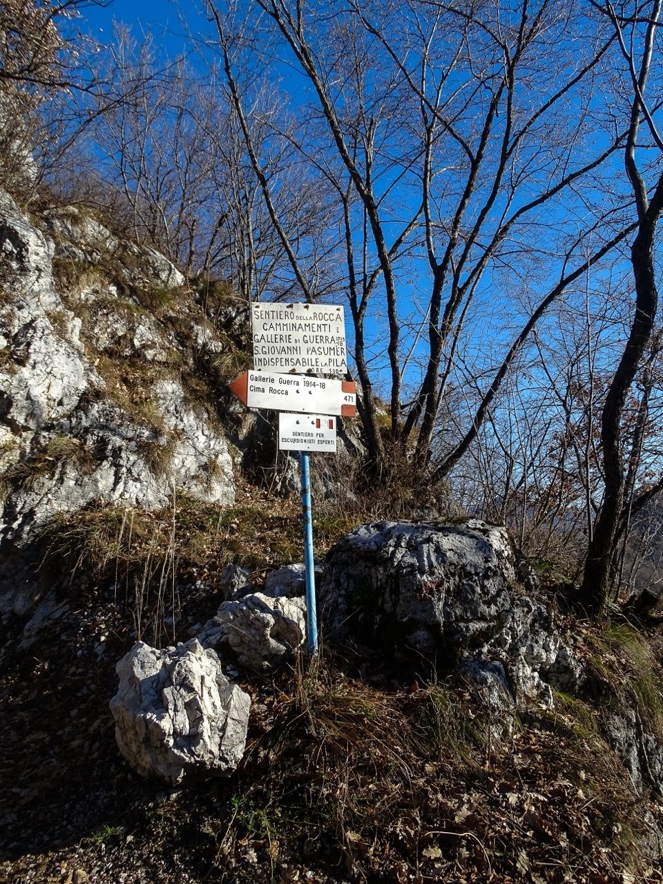
At Biacesa you take the trail SAT 417 which soon turns into a cobbled mule trail running up the mountainside. When you come to the junction, follow directions for SAT 460 leading to the Chapel of San Giovanni which was rebuilt in the 1980s. Nearby you can see the shelter Bivacco Arcioni, called after Lieutenant Francesco Arcioni who died in this area in 1916. From the chapel follow directions for "Gallerie di guerra" or WWI tunnels (SAT 471) to explore the Austro-Hungarian defence posts on Cima Rocca
From here you can go down by the bolted via ferrata (signposted SAT 471A) or else go back to the turn-off at the third tunnel and from there back the way you came. You head back down on trail SAT 417
- Highest point
- 988 m
- Endpoint
-
Cima Rocca
- Height profile
-
 © outdooractive.com
 - Equipment
-
You need to wear the right clothing and take the proper gear when you go hiking in the mountains. Even on relatively short easy outings make sure to take all you need so you don't run into trouble if things take an unexpected turn, for example a storm blows up or you have a sudden drop in energy levels.
What should you take when you go on a hike?
Your rucksack (for a day trip a 25/30L capacity should do) should contain:
water canteen (1L) snacks (e.g. mixed dried fruit or chocolate) First aid kit windproof jacket fleece change of t-shirt and socks (in a plastic bag) make sure to wear or at least bring a pair of long trousers hat sun screen sunglasses gloves whistle to attract attention in an emergencyMake sure you're wearing the right footwear for the trail and season. The going can get rough and rocky underfoot and a pair of hiking boots will protect you from sprains. When wet, a grassy slope, rocky slab or steep trail can be dangerous unless you are wearing the proper footwear.
And finally... don't forget to bring your camera! You'll need it to capture the stunning views you come across all over Garda Trentino. And if you like, you can share your memories with us at #GardaTrentino.
Emergency telephone number 112.
Caution! This trail involves stretches classified EEA which means you must come equipped with via ferrata kit and a torch.
- Safety instructions
-
Safety Tips
Choose itineraries that suit your physical and technical abilities. Collect information about the area you are visiting and the trail’s conditions and get a detailed trekking map. Wear clothes and take equipment that suit the difficulty and length of your tour. Keep emergency gear in your rucksack, including first aid supplies. Do not go walking alone in the mountains. In any case, tell someone where you are going and report back on returning. Look at the weather forecast before setting off and always keep an eye on the weather. In case of doubt, go back. It is better to give up than risk bad weather or face difficulties beyond your strength, ability and equipment. Do not leave marked paths and do not take shortcuts. All described walks are in a natural environment and therefore their use is at your own risk.This information is subject to inevitable variations, so none of these indications are absolute. It is not entirely possible to avoid giving inexact or imprecise information, given how quickly environmental and weather conditions can change. For this reason, we decline any responsibility for changes which the user may encounter. In any case, it is advisable to check environment and weather conditions before setting out.
- Tips
-
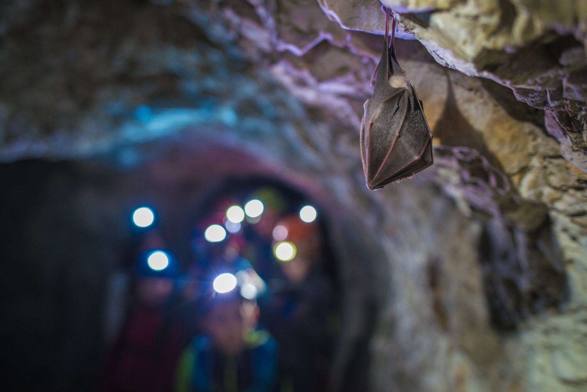
There is a complex and articulated system of tunnels in Cima Rocca. Do not foget to bring with you a lamp.
- Additional information
-
An interesting variation on this itinerary leads to Cima Capi, another spectacular viewing point over Lake Garda Important! This alternative route involves a section of via ferrata and requires ferrata kit, helmet and harness. Follow directions from Cima Rocca for Bocca Pasumer (SAT 471), take SAT 405B for a short stretch as far as the via ferrata Fausto Susatti (SAT 405) which follows a trail dating back to the war. All along the ridge there are remains of defence posts, caves and trenches which were the first line of defence on the Austro-Hungarian Front. From Cima Capi you go back the way you came on the last section of SAT 405 until to join up with SAT 460 Mario Foletti which runs along the mountainside of Cima Capi lower down and takes you back to the Bivacco Arcioni shelter. From this point you continue on down back the way you came.
For more information on routes, services (guides, mountain huts, shops etc.) and hiking friendly accommodation: Garda Trentino - +39 0464 554444
- Directions
- Public transportation
- Parking
-
Free parking near the helicopter landing pad in Biacesa.


-

-
AuthorThe tour WWI: from S. Giovanni to Cima Rocca is used by outdooractive.com provided.


General info
-
Gardasee / Lombardei
433
-
Garda Trentino
660
-
Prè di Ledro
282