
- Brief description
-
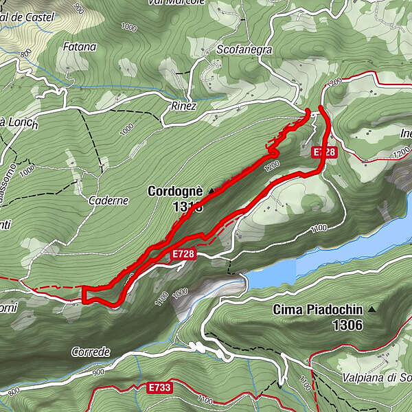
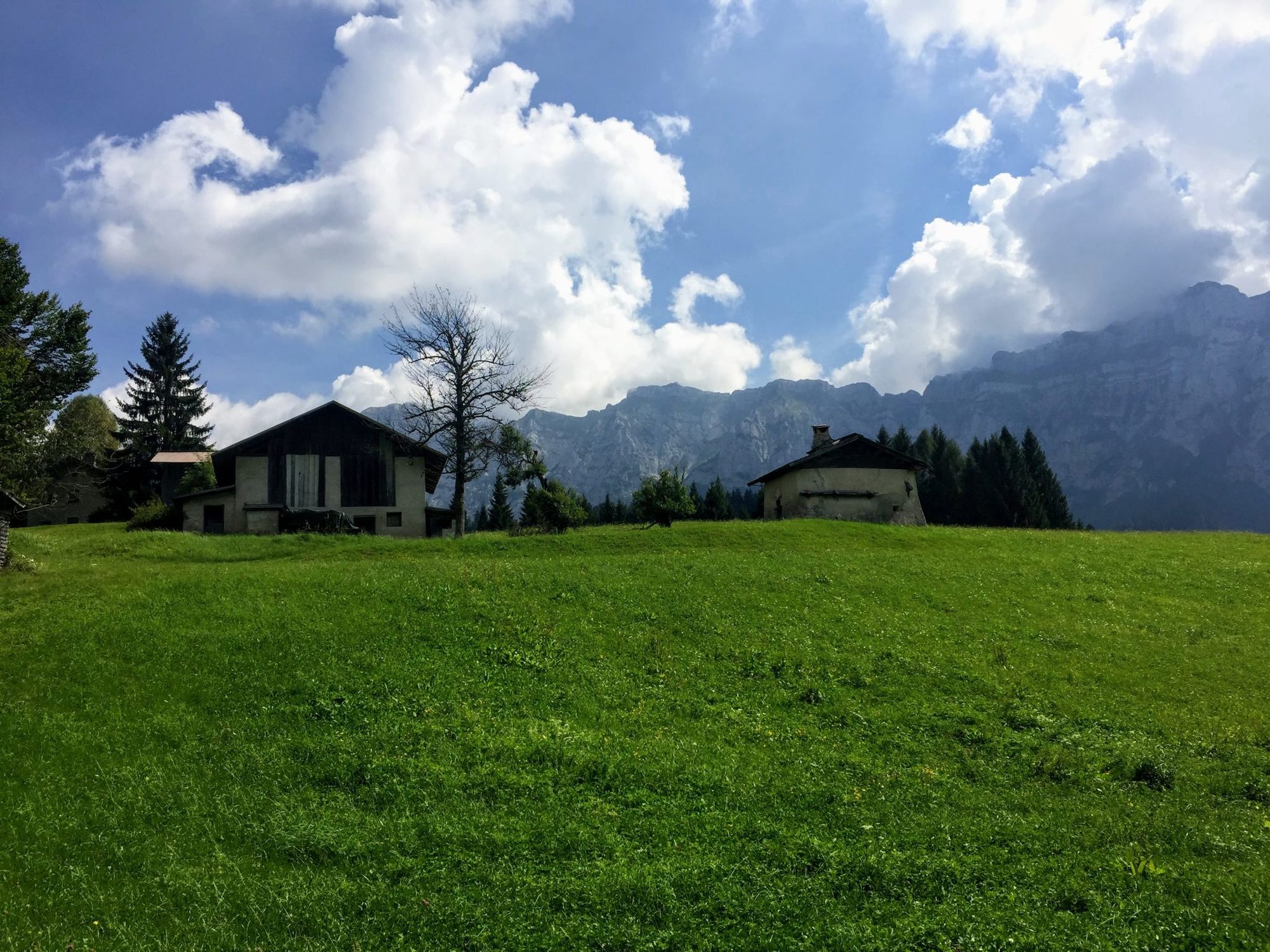
This hike is an easy and well-marked loop around San Giovanni above the built-up area of Mezzano. It offers a splendid view over the Vette Feltrine and the grassy San Giovanni plateau situated behind Mount Cordognè.
- Difficulty
-
easy
- Rating
-
- Starting point
-
Poit
- Route
-
Cordognè (1,313 m)0.9 km
- Best season
-
JanFebMarAprMayJunJulAugSepOctNovDec
- Description
-
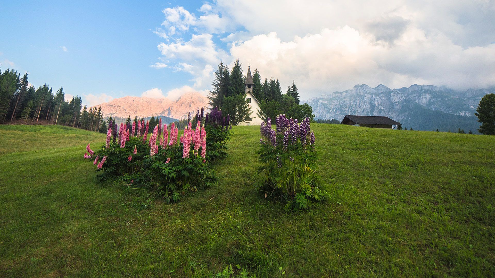
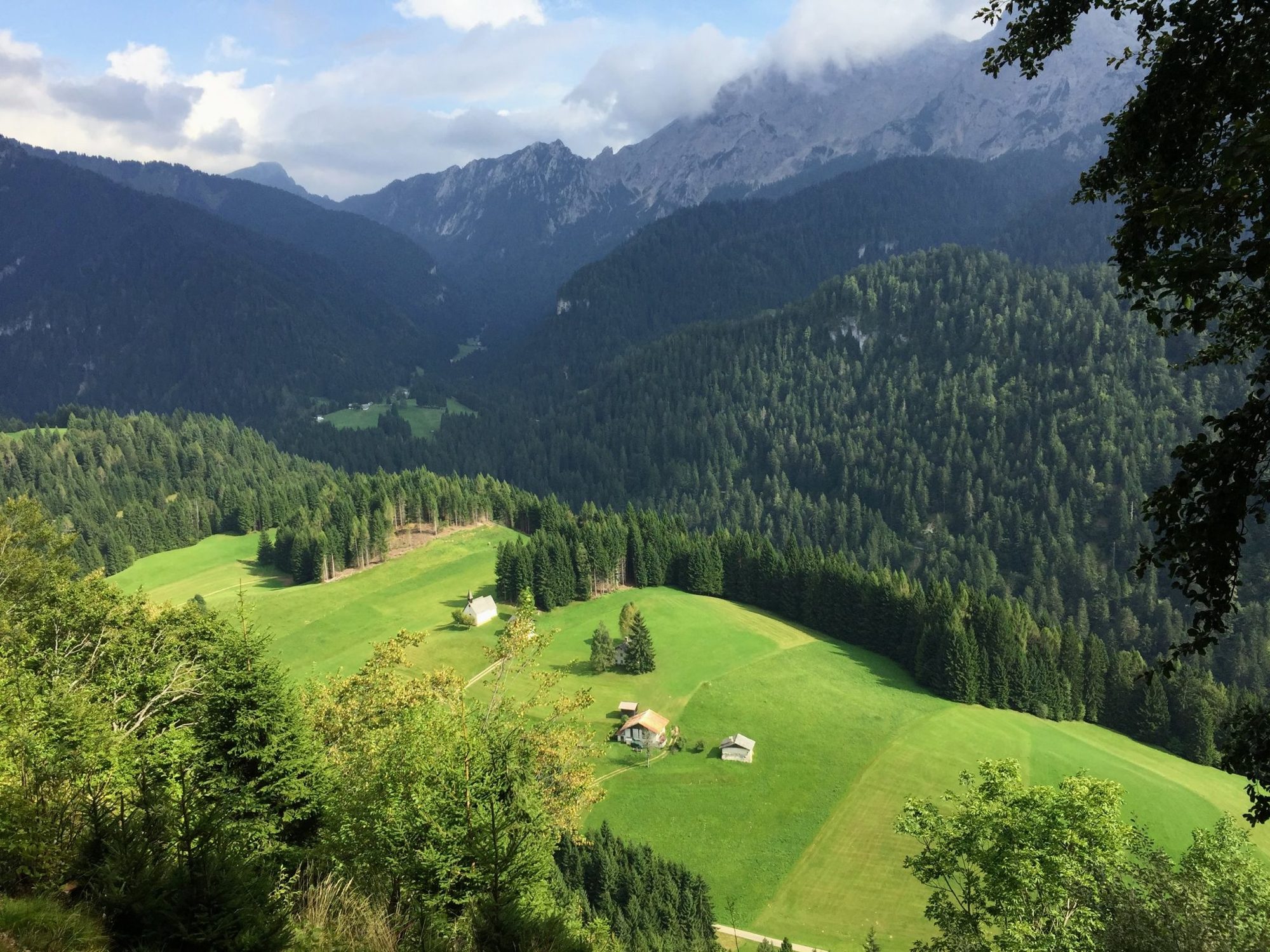
The location is idyllic and marvellous for a hike immersed in nature and its star is the hill that houses the church of San Giovanni. Built at the beginning of the sixteenth century for the Scopoli family, it remained their property until the eighteenth century, after which it was donated to the community of Mezzano. The small church was built to allow charcoal burners and farmers, who stayed for work in the town for several months, to have a convenient place of worship for Sunday mass. The church has always been the destination of a procession that moved from Mezzano the day of the patron, 24 June (still today on 24 June, San Giovanni Battista day, mass is celebrated at the end of a long procession). Once back on the paved road, continue to the junction of Falasorni 1249 m, where the homonymous and characteristic crucifix is located. From here, take the beautiful Cordognè ridge path on the right, which without great difficulty leads to the top of the ridge 1314 m, offering magnificent views over the Pale di San Martino and Vette Feltrine, as well as over the Prati di San Giovanni located right below you. The ridge path ends just below the Poit junction.
- Directions
-
The itinerary starts at the Poit pass at 1183 m, a crossroads for all the itineraries from and to the Prati di San Giovanni. Continue to the right at the next junction and past an assembly of farmhouses, you will see on the left the small church of San Giovanni placed on the top of a small hill, which you can climb to through two sett lanes. Once back on the paved road, continue on the left following the sign for path No. 728 and follow the road that, between meadows and small farmhouses, cuts slightly uphill the southern slope until the Falasorni junction. From here, take the Cordognè ridge path on the right, which leads without great difficulty to the top of the ridge. The ridge path then ends just below the Poit junction, which will be reachable with a small and short uphill effort.
- Highest point
- 1,298 m
- Endpoint
-
Poit
- Height profile
-
 © outdooractive.com
 - Equipment
-
You just need a normal pair of trainers; a rainproof windproof jacket is highly recommended given the possible meteorological changes on site.
- Safety instructions
-
Pay particular attention to the stretch in the woods along the ridge of Cordognè, which can be arduous due to the plants and roots of the terrain.
- Tips
-
We recommend a visit to the church, which offers a welcoming hall and is furnished with a wooden altar.
- Public transportation
- Parking
-
At the Poit pass there is a small clearing to park, otherwise we recommend leaving the car in the village and going up on foot; or reaching the Rifugio Caltena and from there starting your itinerary.
-

-
AuthorThe tour San Giovanni - Falasorni is used by outdooractive.com provided.


General info
-
Belluno-Dolomiti
1074
-
San Martino di Castrozza
561
-
Paesi di Primiero
144