
- Brief description
-
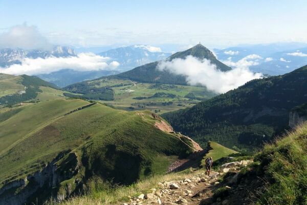
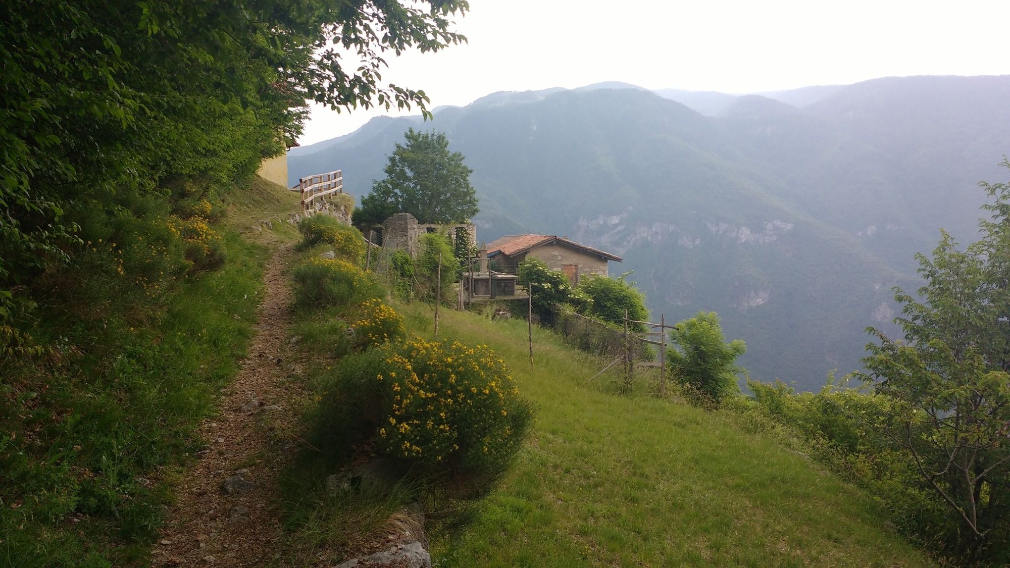
The path, also known as “Ligambega bassa”, is a very pleasant ring route that runs through the villages of Valgrande, Perini and Potrich.
- Difficulty
-
difficult
- Rating
-
- Starting point
-
Valgrande
- Route
-
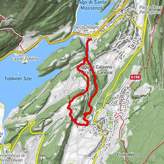
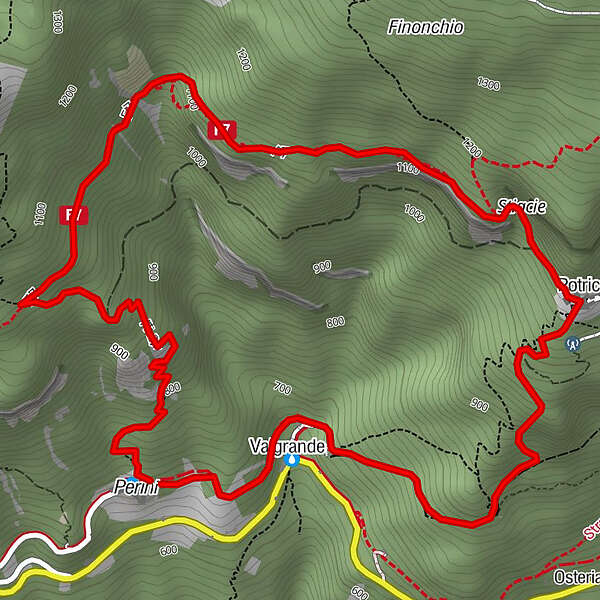
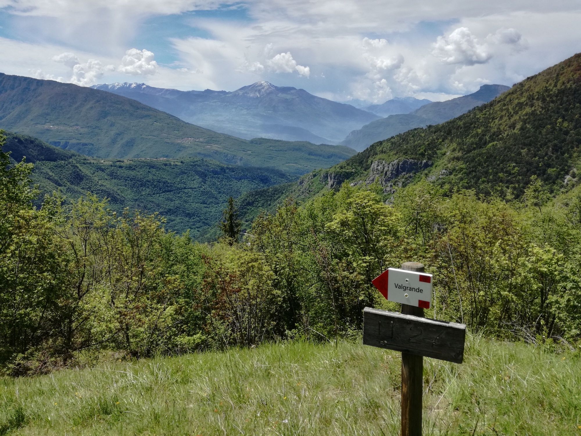
Perini (700 m)0.0 kmStiacie2.8 kmMadonna della Neve3.0 kmPotrich3.0 kmValgrande4.5 km
- Best season
-
JanFebMarAprMayJunJulAugSepOctNovDec
- Description
-
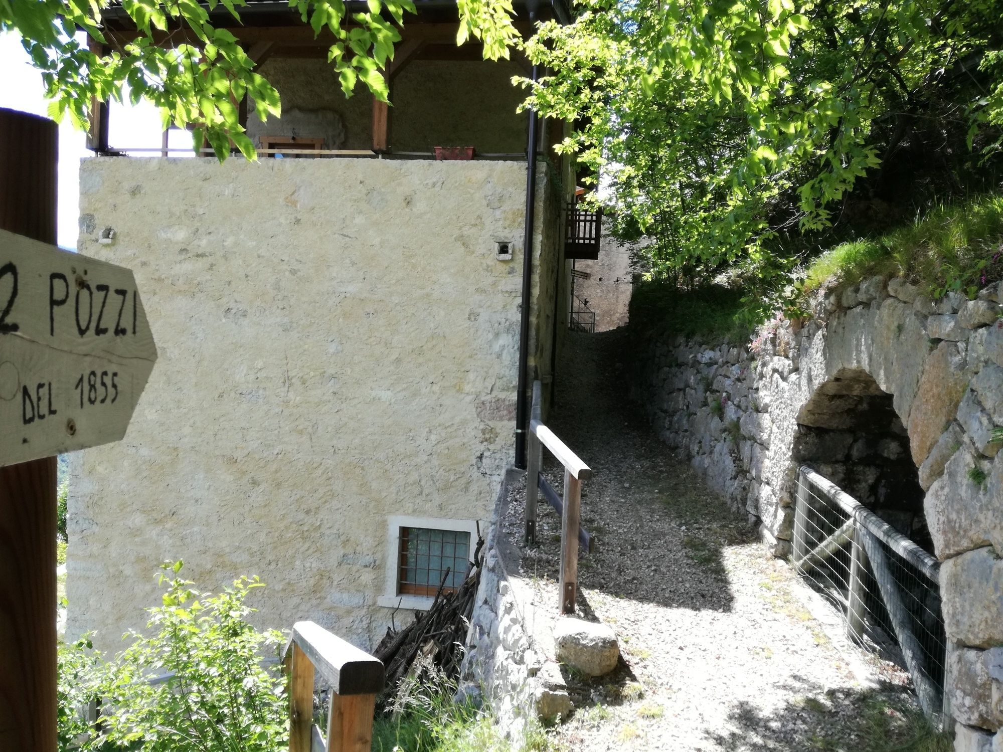
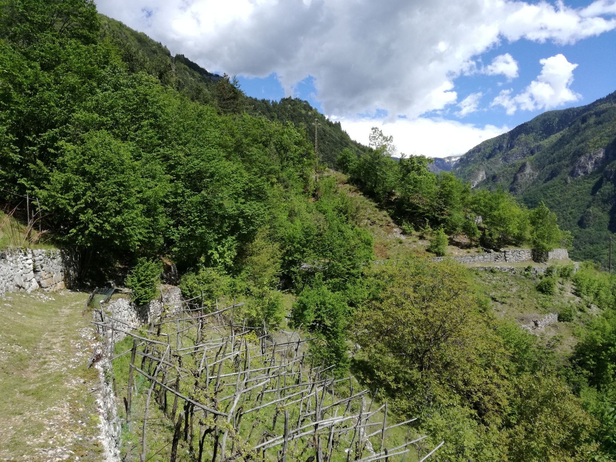
Among villages, fountains and dry stone walls: immerse yourself in the typical rural landscape of our valleys and admire the view, delicately modified by the hand of man.
The valley of Terragnolo is one of the intact natural territories in Vallagarina: here you can breathe the atmosphere of the past and fully experience ancient emotions, for a true dive into the past.Also in the Valle di Terragnolo, discover the Venetian sawmill. - Directions
-
Sometimes very steep, it is suggested to be covered in the spring and autumn months.After leaving the car in Valgrande, take the Sentiero delle Teragnole towards Rovereto. Once in Perini take the path that goes up after the fountain and that - with a difference in height of 300 meters - leads to the junction where you will find the signs for Potrich (senter de le Laste).From there, continue until you reach the village of Potrich. From the fountain, take the path that descends, keeping to the right (senter de le Pole). The path, in the initial section, is not very evident but becomes immediately easier to identify. Return to Valgrande following a very steep path.
- Highest point
- 1,142 m
- Endpoint
-
Valgrande
- Height profile
-
 © outdooractive.com
 - Safety instructions
-
Please note that the practicability of the itineraries in a mountain environment is strictly linked to the contingent conditions and is therefore influenced by natural phenomena, environmental changes and weather conditions. For this reason, the information contained in this page may have changed. Before leaving for a tour, make sure the path you will approach is still accessible by contacting the owner of the mountain hut, the alpine guides or the visitor centres of the nature parks, the info offices of the local tourist board.
- Directions
-
From the center of Rovereto, take the road that leads from Piazza Rosmini to the mountain (Viale dei Colli). Remain on the SP2 and pass the villages of Noriglio, Senter and Perini; the next village is Valgrande.
- Parking
-
Possibility to park in the two small parking lots in Valgrande along the SP 2
-

-
AuthorThe tour Valgrande-Perini-Potrich-Cengio Bianco-Valgrande is used by outdooractive.com provided.