
- Brief description
-
Easy path through beech woods
- Difficulty
-
medium
- Rating
-
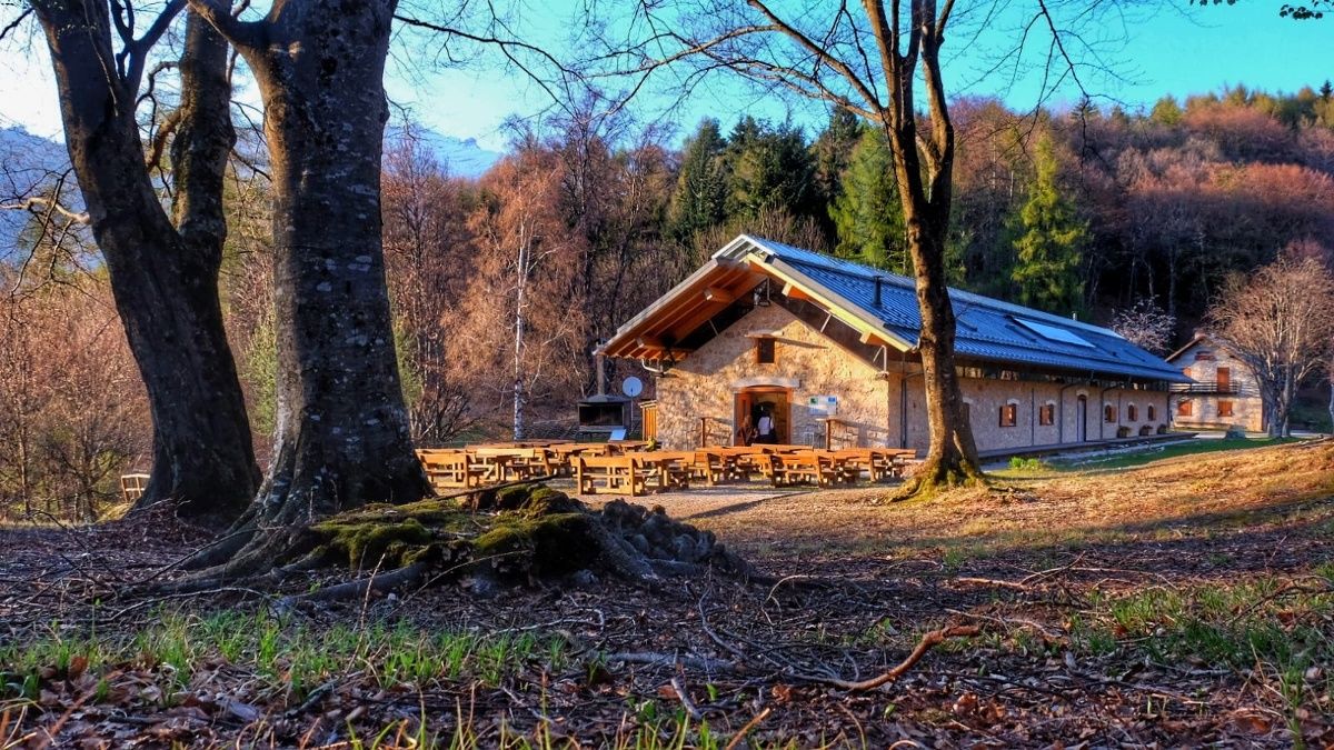
- Starting point
-
Malga Cimana dei Presani
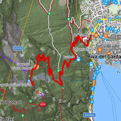
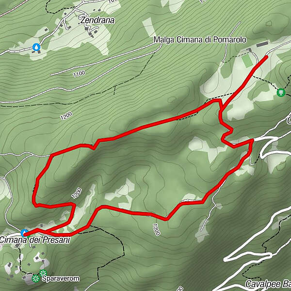
- Route
-
Malga Cimana di PedersanoVanezota (1,251 m)1.3 kmMalga Cimana di Pedersano3.8 km
- Best season
-
JanFebMarAprMayJunJulAugSepOctNovDec
- Description
-
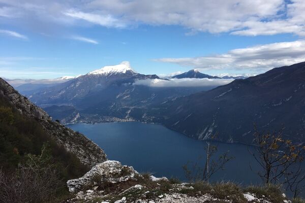
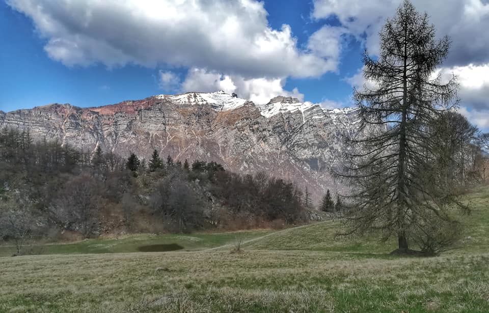
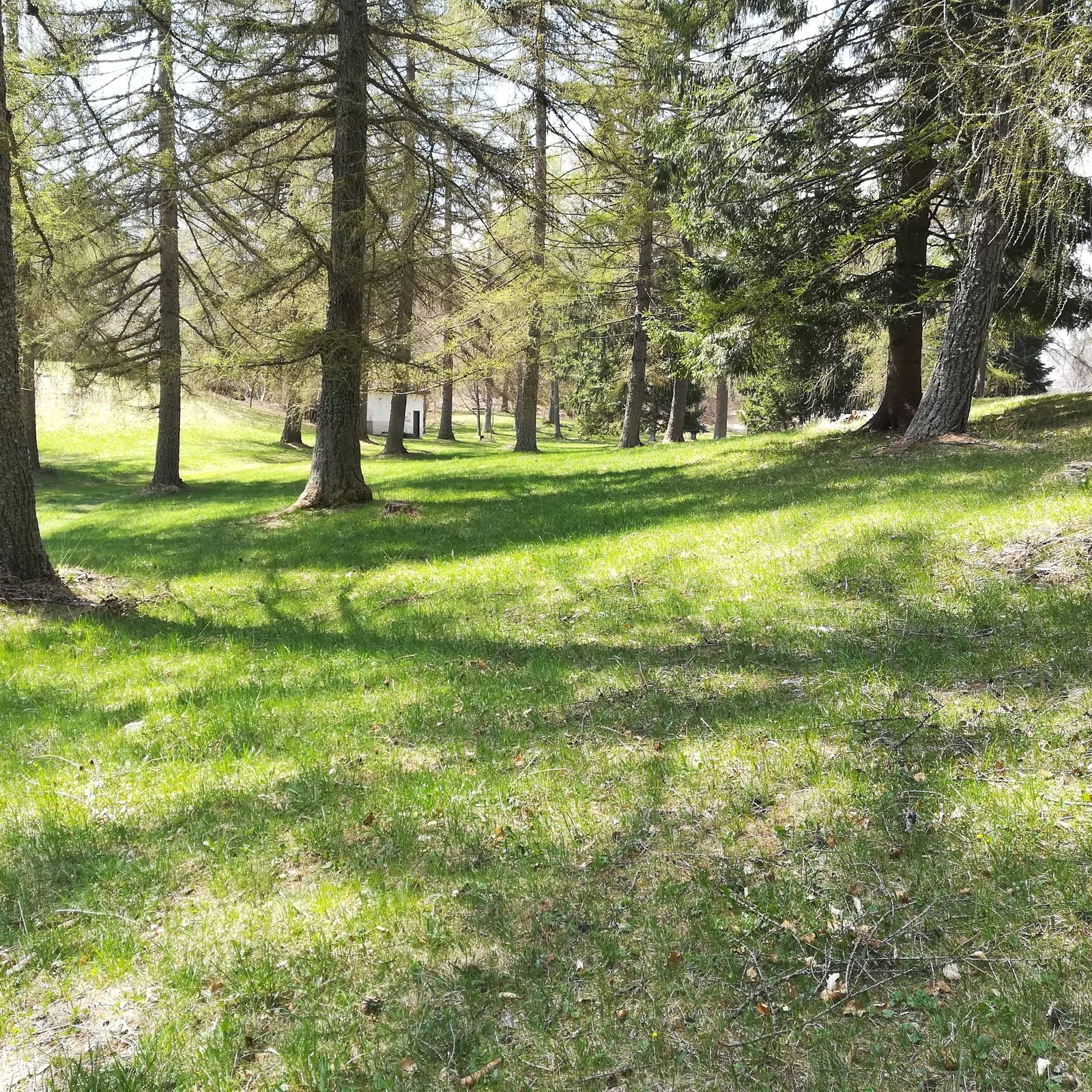
The route that connects the two huts, Cimana dei Presani and Cimana di Pomarolo, is immersed in the woods located in the area of Lake Cei. Come and enjoy the peace and tranquility of these places; immerse yourself in nature, breathe peace, enjoy the landscape that surrounds you and admire the view. La Vallagarina offers various ideas for trekking and nature walks ... even with snow! In addition to outdoor activities in Vallagarina, museums and castles, wineries and producers of delicious local products are also waiting for you. Come and discover them for a 360° vacation!
- Directions
-
From the Malga Cimana dei Presani, take the easy forest road towards Malga Cimana di Pomarolo for about 1.3 km until it intersects the paved road that goes up from Pomarolo. At the crossroads, turn left and continue to Malga Cimana di Pomarolo. From here you go back on the same road for about 300 m then turn right onto a marked path that leads down to the meadow. Shortly after the path climbs up into the woods. The last downhill section, taking a left at the fork, takes you back to Malga Cimana dei Presani.
- Highest point
- 1,274 m
- Endpoint
-
Malga Cimana dei Presani
- Height profile
-
 © outdooractive.com
 - Tips
-
Malga Cimana offers typical and characteristic dishes with ingredients from local producers. Do not miss the homemade desserts.
- Directions
-
From the A22 Rovereto Nord motorway exit, follow the directions for Lago di Cei. Shortly before the lake, near the characteristic capital in the center of the intersection, turn right towards Malga Cimana.
- Parking
-
Big parking just before the Malga.
-

-
AuthorThe tour Tour of "Cimane" is used by outdooractive.com provided.