- Brief description
-
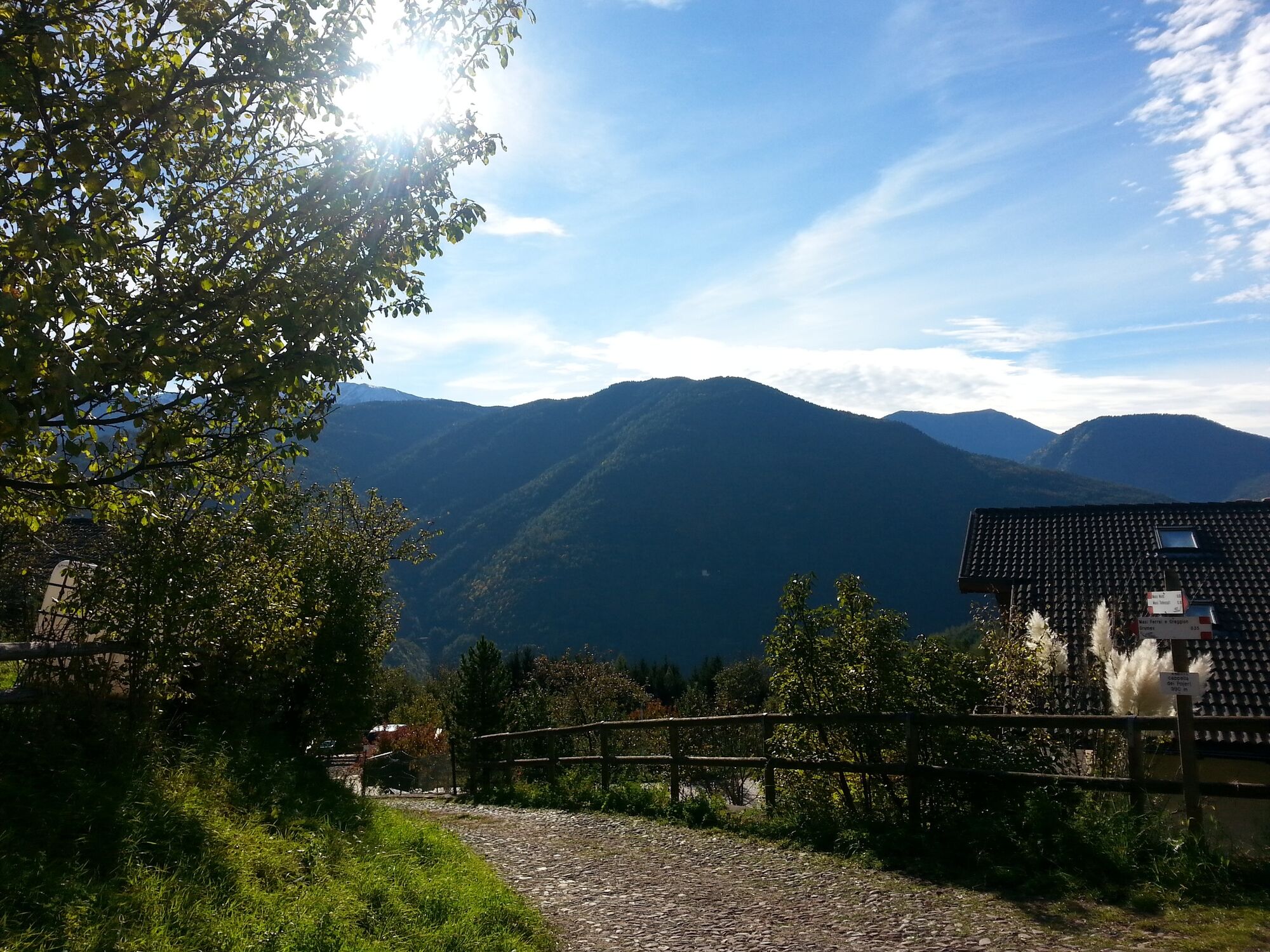
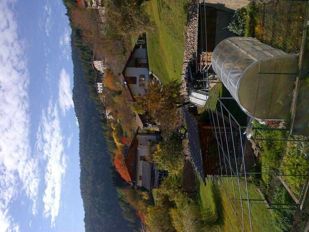
A circular route past historic country houses of German origin through meadows, crops and panoramic views.
- Difficulty
-
easy
- Rating
-
- Starting point
-
Grumes
- Route
-
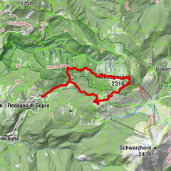
Bar risortante Stella Alpina0.1 kmGrumes0.1 kmVilla Alta (950 m)0.6 kmEl Casèl dei Masi2.4 kmVilla Alta (950 m)6.1 kmGrumes6.7 kmBar risortante Stella Alpina6.7 km
- Best season
-
JanFebMarAprMayJunJulAugSepOctNovDec
- Description
-
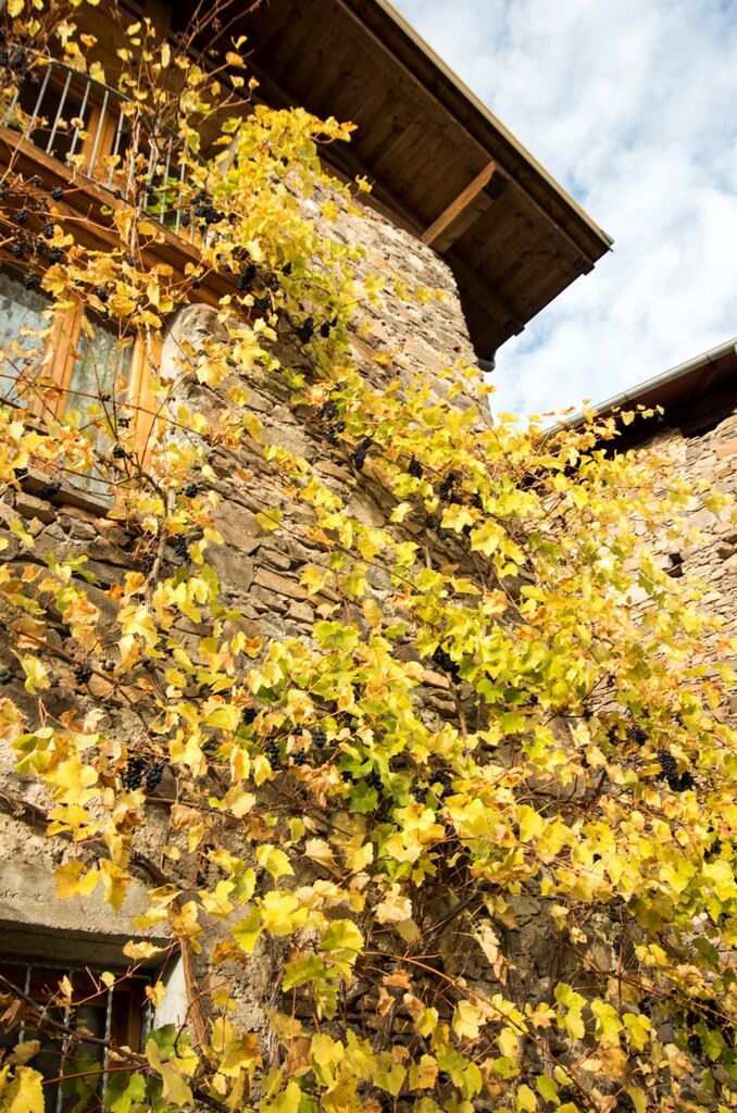
A stroll through the peace and quiet of the forests to explore the historic Masi di Grumes area, a hidden corner of the mountains which has succeeded in conserving its original atmosphere dating back to the Middle Ages. The site’s names and toponyms retrace the origins of the farmhouses to German immigration to the Trentino from the 11th to 16th centuries fostered by the Tyrolean lords of Koenigsberg and the prince Bishops of Trento to raise tithes and preside over an important road between the Tyrol and the Adige valley. For around four centuries after their arrival the German farmers of the Masi di Grumes area kept their language and customs alive and left a profound mark on local culture.
This footpath links up the Pinteri, Orion, Noldi, Gaiardi, Giovanni, Todescat, Pojeri, Ferrai and Greggion farmhouses in their amphitheatre of woods and fields.
Starting in the square in Grumes town climb up along the church to the SS 612 road near the Green Grill. Cross the road and start climbing up towards the Grumes farmhouses, passing a historic chestnut grove and continuing to Masi Alti and then descending, after Maso Giovanni, in the direction of the lower farmhouses and returning to your starting point.
The itinerary follows an asphalt road with limited traffic.
- Directions
-
Starting from the town square of Grumes go uphill next to the church to reach the main road S.S.612 close to Green Grill. Cross the street and start climbing to the farms Masi di Grumes, pass by the historical chestnut wood and reach the high farms Masi Alti to start going down, after Maso Giovanni, to the low farms Masi Bassi and back to the starting point.
- Highest point
- 1,108 m
- Endpoint
-
Grumes
- Height profile
-
 © outdooractive.com
 - Equipment
-
Trekking shoes or mountain boots
Trekking poles - Safety instructions
-
Even if this trail is not technically difficult and has no dangerous stretches, we always and in any case suggest to follow the general rules on safety for mountain hikes.
Prepare your itinerary Choose an excursion appropriate for your real ability and training level Choose the fitting equipment Check the weather forecast Hiking alone is risky Give details about your itinerary and about the approximate hour of your return Do not hesitate to entrust you to an expert Pay attention to the indication and signals you will find along your journey Do not hesitate to retrace your steps In case of accident: ask for help and call the number 112 - Tips
-
A stop that deserves a visit either on the way to or back is Green Grill - Info e sapori (information and taste), la Casa della Rete di Riserve (the house of the Reserves Network), which you can find along the main road S.S. 612. Here you can taste or buy some local product, receive information on the area, enjoy the valley from its impressing panoramic terrace.
- Additional information
- Directions
-
To drive here from Trento, you need to follow the main road S.S. 612 north to Grumes. The parking place is near the mixed-use building “Le Fontanelle”.
To drive here from the valley Val di Fiemme, you need to follow the main road S.S. 612 south to Grumes. The parking place is near the mixed-use building “Le Fontanelle”.
- Public transportation
-
Reachable by public transport
Trentino trasporti esercizio S.p.A.
Line B102 stop Grumes
Info, costs and timetables on:
www.trentinotrasporti.it
- Parking
-
Free parking at the multipurpose center “Le Fontanelle” near the theater of Grumes.


-

-
AuthorThe tour The “Masi di Grumes” circuit is used by outdooractive.com provided.