
- Brief description
-
A pleasant and relaxing walk on comfortable forest roads through the woods toward the mountain hut
- Difficulty
-
easy
- Rating
-
- Starting point
-
hamlet Ponciach (Faver-Altavalle)
- Route
-
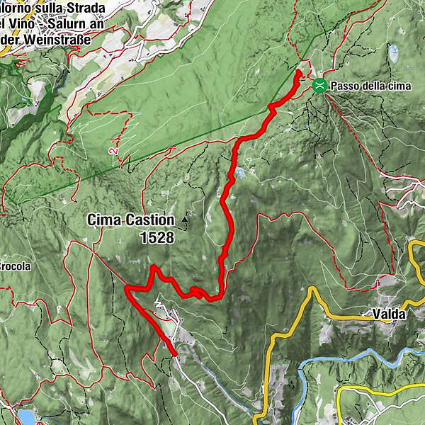
Rifugio Potzmauer6.5 km
- Best season
-
JanFebMarAprMayJunJulAugSepOctNovDec
- Description
-
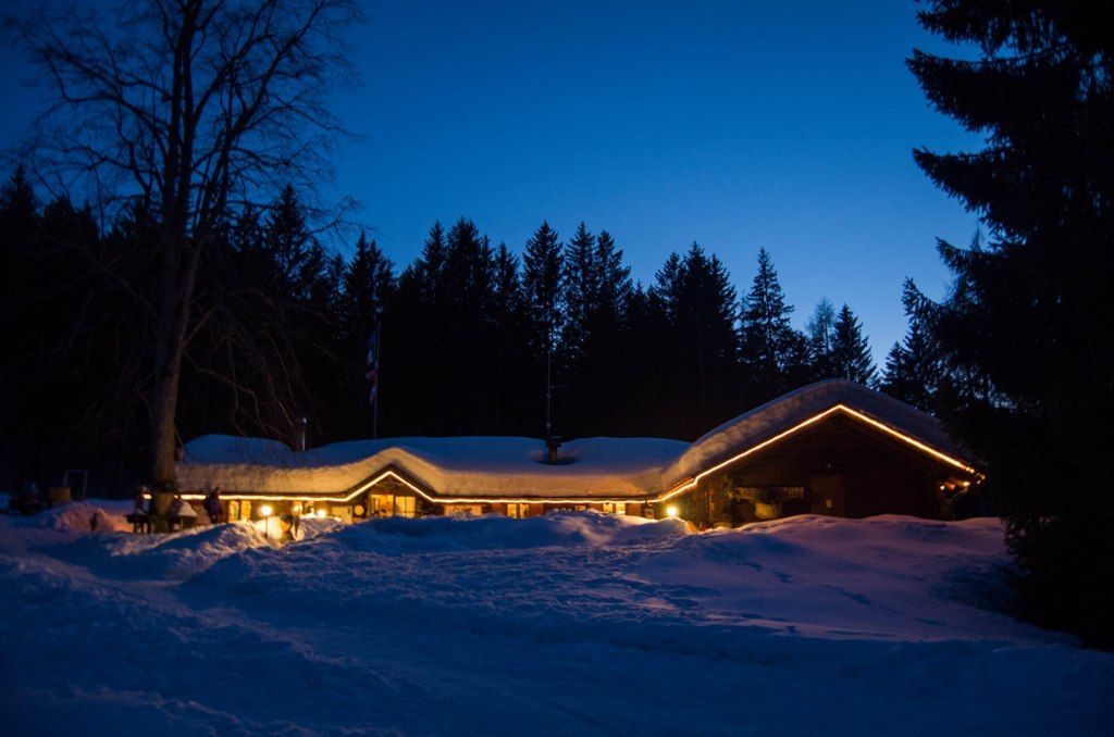
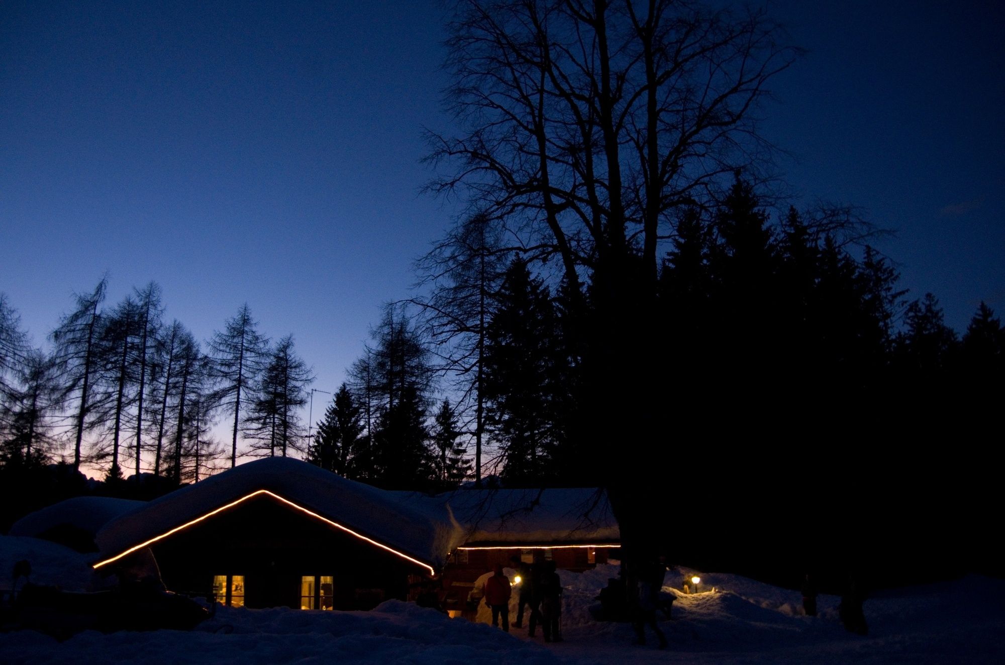
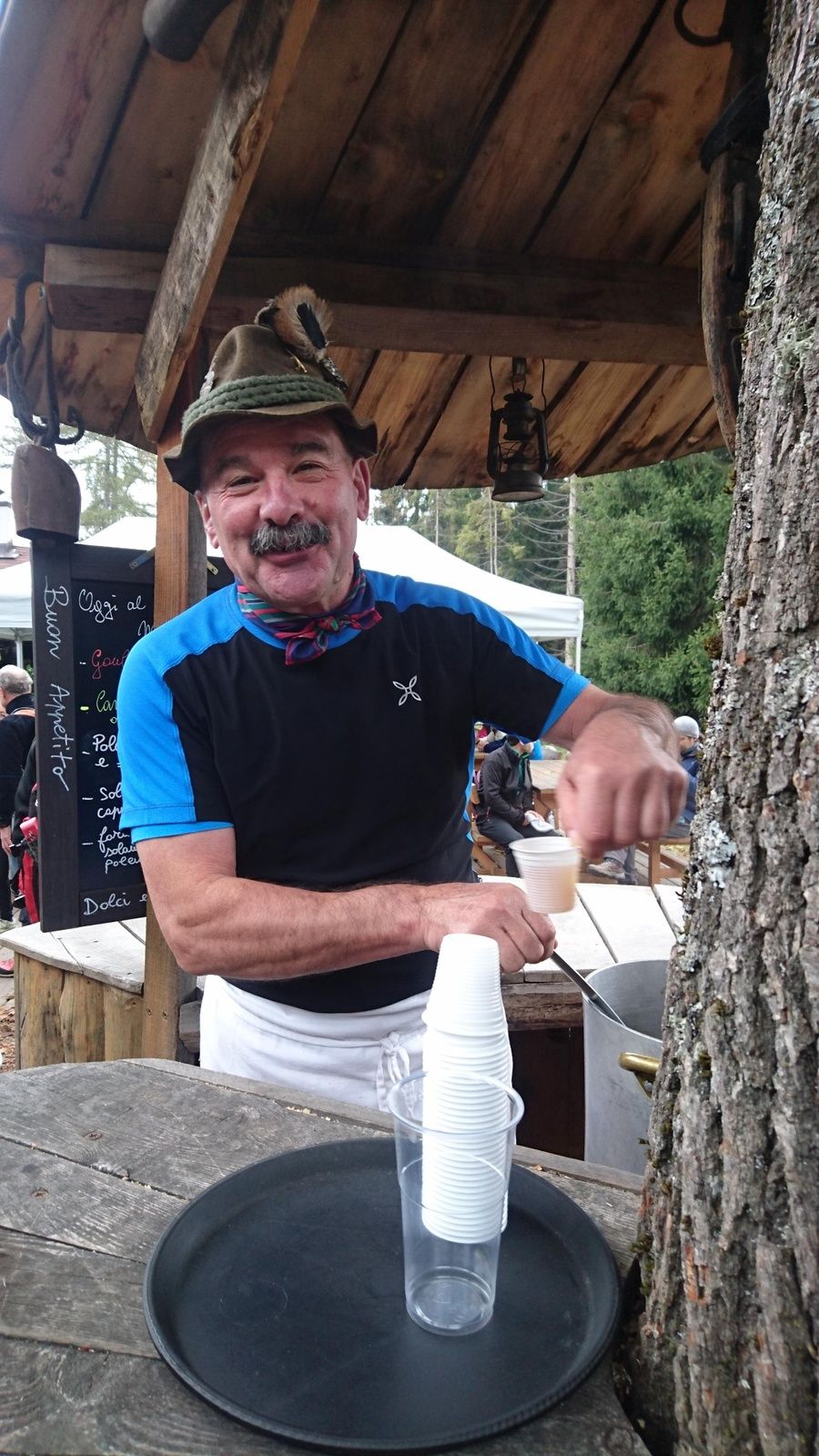
This itinerary takes us up to the mountain hut Potzmauer, located in a lawns hollow surrounded by fir woods. This hut was once an alpine cottage and was abandoned after the farm breeding disappeared in the valley. It was bought and rebuilt by the Municipality of Grumes (now Altavalle), which entrusted Roberto Leonardi for its management.
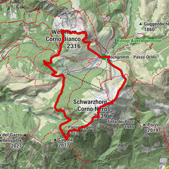
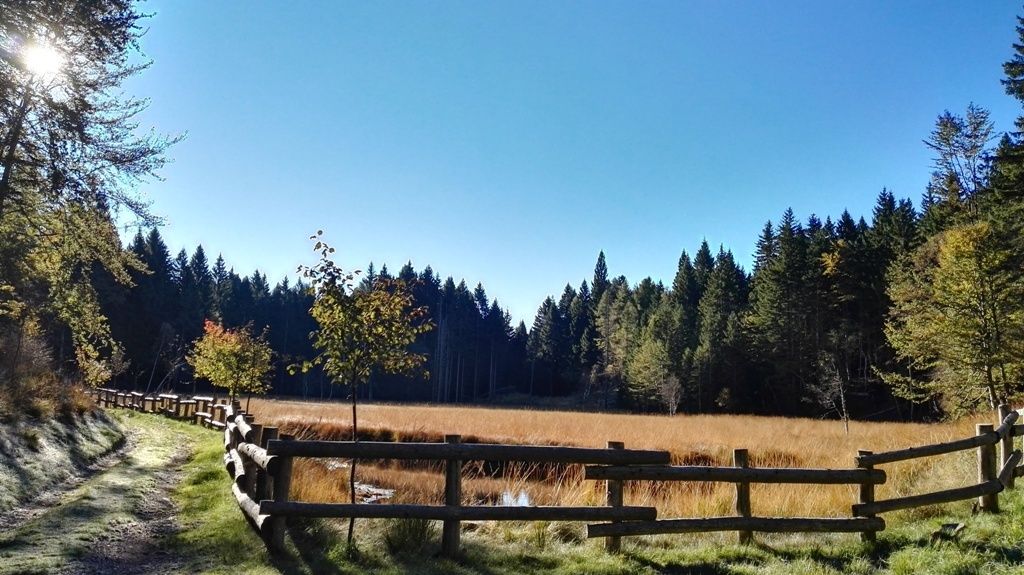
On this way the peat bog of the lake Lago di Valda deserves a stop. It is an ancient lake which naturally aged and became the habitat of rare plants and animals.
The way back can be the same as the way to or on a circle trail on the opposite side of the mountain going along the steep slope overlooking the valley Valle dell’Adige.
- Directions
-
From the parking place next to the little lakes of Ponciach, at the entrance of hamlet, follow path 415A. It is the paved (after cobbled) road going up by the house in front of the parking place. Continue to the crossroads just above the little wooden fountain. From here follow the gravel road on the right going flat into the wood and the road signs to the lake Lago di Valda. From the peat bog of the lake Lago di Valda continue toward the mountain hut Potzmauer, which can be reached with more 45 minutes walk.
- Highest point
- 1,414 m
- Endpoint
-
Rifugio Potzmauer (mountain hut)
- Height profile
-
 © outdooractive.com
 - Equipment
-
Trekking shoes or mountain boots
Trekking poles
- Safety instructions
-
Even if this trail is not technically difficult and has no dangerous stretches, we always and in any case suggest to follow the general rules on safety for mountain hikes.
Prepare your itinerary Choose an excursion appropriate for your real ability and training level Choose the fitting equipment Check the weather forecast Hiking alone is risky Give details about your itinerary and about the approximate hour of your return Do not hesitate to entrust you to an expert Pay attention to the indication and signals you will find along your journey Do not hesitate to retrace your steps In case of accident: ask for help and call the number 112 - Tips
-
Stopping at the mountain hut for lunch or just a piece of cake and then relax on its lawn is almost a must.
- Additional information
- Arrival
-
To drive here from Trento, you need to follow the main road S.S. 612 north to Faver. At the entrance of the town follow the signs toward Ponciach that you will reach in about 3,5 km from there.
To drive here from the valley Val di Fiemme, you need to follow the main road S.S. 612 toward Faver. Pass the tunnel and at roundabout drive back to the town. At the entrance of the town follow the signs toward Ponciach that you will reach in about 3,5 km from there.
- Parking
-
Parking place at the entrance of the hamlet Ponciach close to the two little lakes.


-

-
AuthorThe tour From the hamlet Ponciach to the mountain hut Potzmauer is used by outdooractive.com provided.