
- Brief description
-
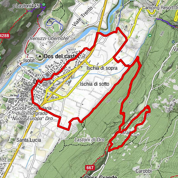
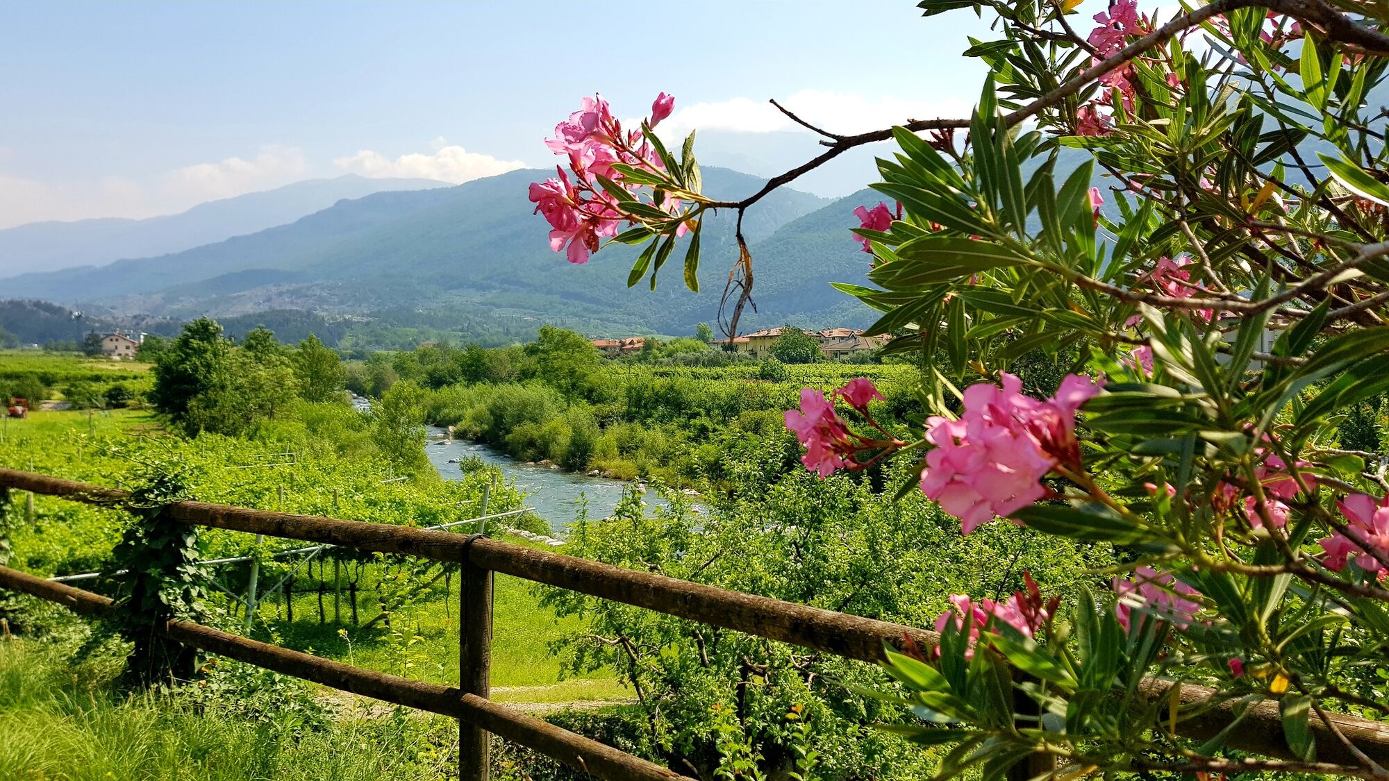
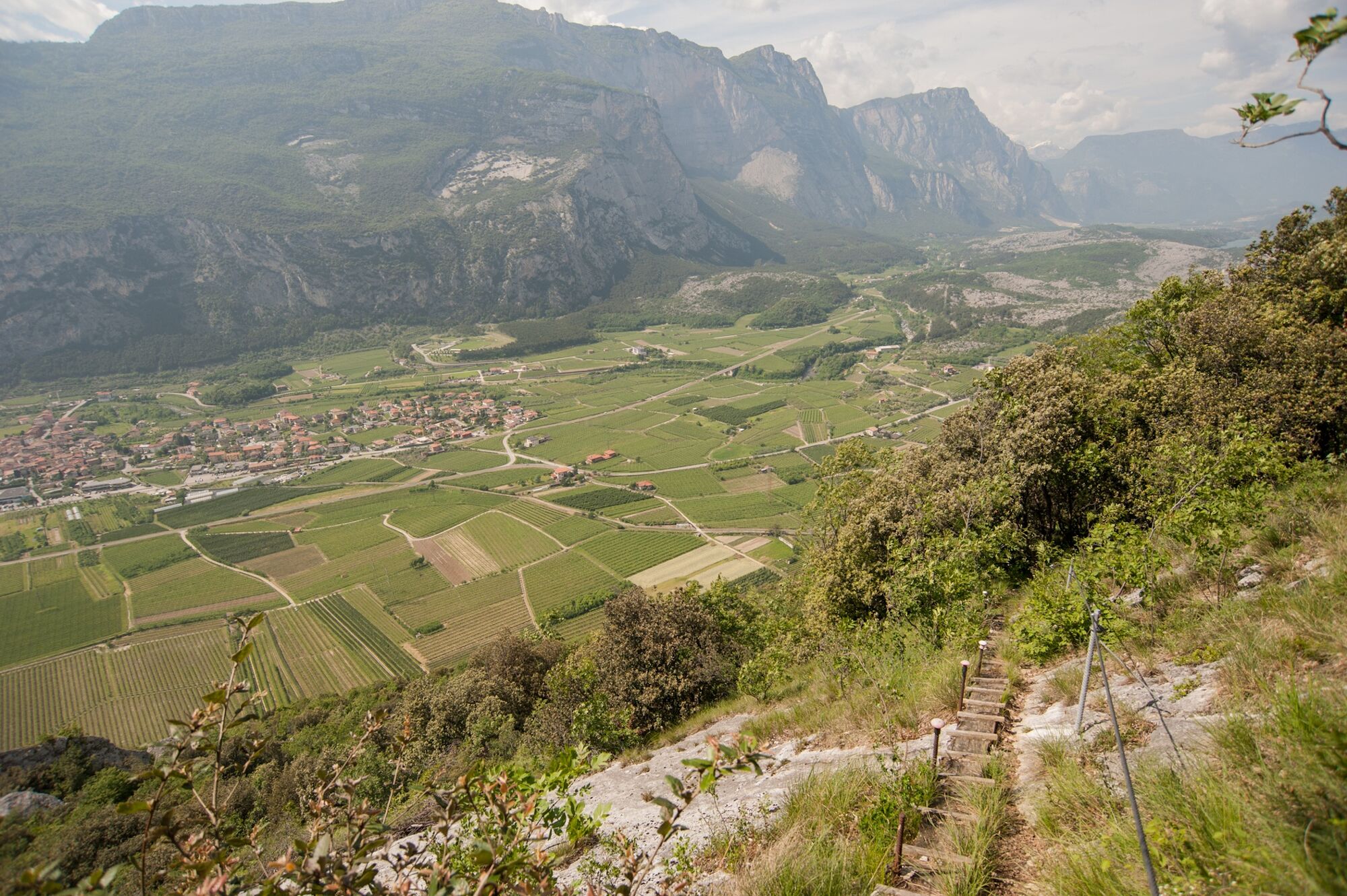
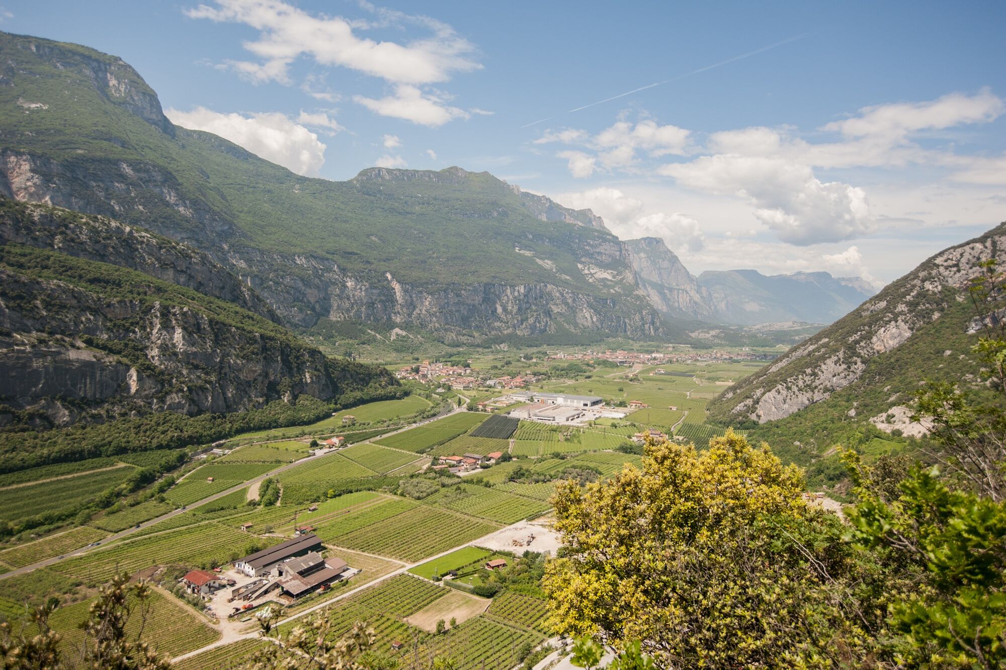
An excursion from Dro to the mountain hamlet of Braila, along the historic trail which cuts across the slopes of Monte Varino with a spectacular view over the Sarca Valley.
- Difficulty
-
medium
- Rating
-
- Route
-
Dro0.0 kmBraila5.1 kmDro10.7 km
- Best season
-
JanFebMarAprMayJunJulAugSepOctNovDec
- Description
-
In Dro everyone knows the story of the primary school teacher Ketty Bombardelli, who, in the early twentieth century, taught in the town but lived in the isolated village of Braila. The only way to get from one to the other was by the steep mountain trail up Monte Varino and the schoolteacher took that path every day to go to work. It is said that on her way back every evening her husband came to meet her to help her over the steepest part, carrying her on his shoulders in his gerla – the traditional wicker basket used for transporting goods on mountain trails.
This itinerary retraces the footsteps of the schoolteacher along the first section of the SAT 667 trail, “the Schoolteacher's Trail”, and is signposted with the usual red and white markings.
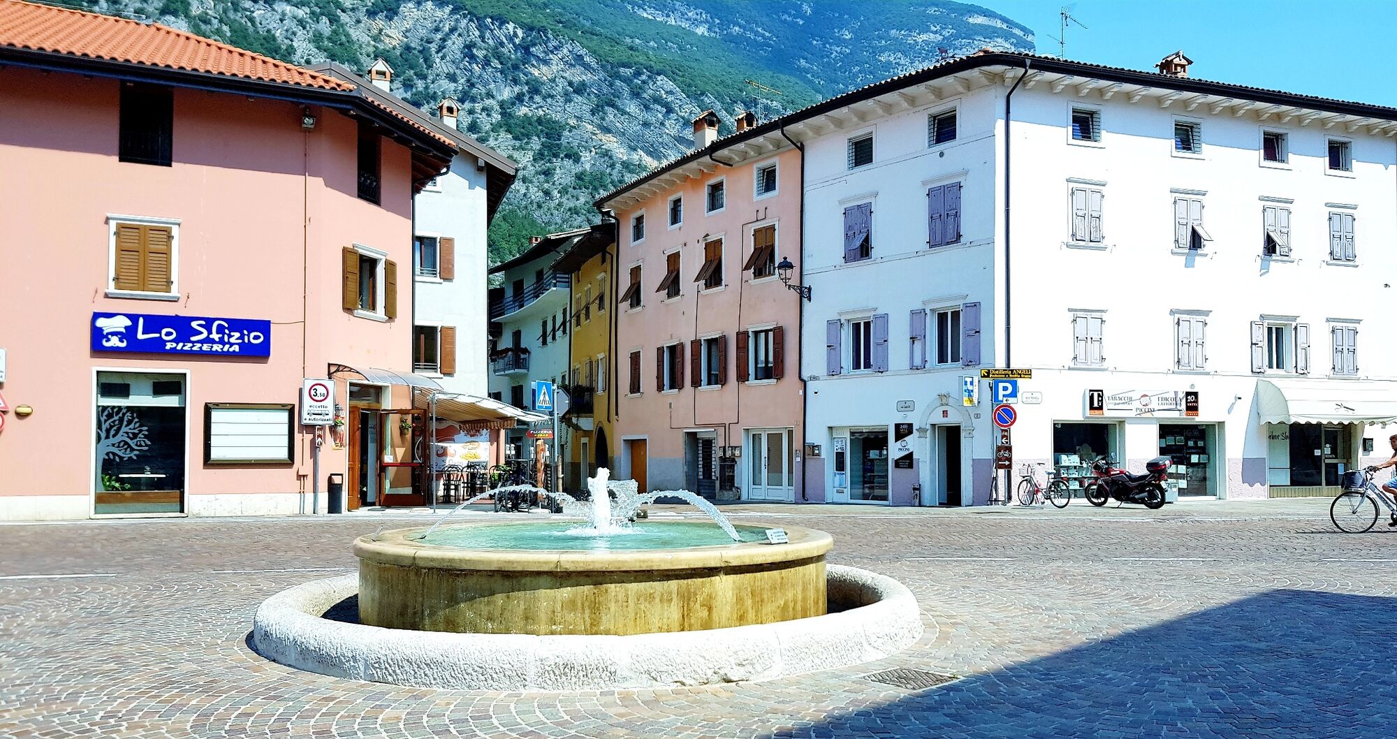
Braila retains all the atmosphere of a mountain hamlet with its stone houses huddled together surrounded by woods and the picturesque views over the Sarca Valley.
- Directions
-
From piazza Repubblica in Dro, follow directions for the Sarca cycle path towards Pietramurata (in this order. via Molini, via Degasperi, via Costa, via Gramsci), then follow it for about one kilometre until you come to the junction after the underpass under the main road near the bicigrill. Turn left here and in a few minutes you will come to the main road which connects Drena with Dro. Stay on the right-hand side of the road and head south until you come to the third side road on your left. Cross the main road carefully and follow directions for “Sentiero della Maestra” until you come to Monte Varino, where you turn onto the trailSAT 667 for what will be about a one-hour hike. Once you get past the bolted section, you will come to a paved road where you continue uphill in a northerly direction as far as the church of Braila and the hamlet itself. On the other side of the village continue downhill to the left – ignoring the signpost giving directions to continue on trail 665 to Arco – until you come to the point where you began the uphill climb. From here you can return to Dro retracing your steps on the original trail. Be careful: on the way back, use the red/white markers as reference points and not the traces of the old blue/white markers which are still visible in various points.
- Highest point
- 532 m
- Endpoint
-
Piazza della Repubblica - Dro
- Height profile
-
 © outdooractive.com
 - Equipment
-
You need to wear the right clothing and take the proper gear when you go hiking in the mountains. Even on relatively short easy outings make sure to take all you need so you don't run into trouble if things take an unexpected turn, for example a storm blows up or you have a sudden drop in energy levels.
What should you take when you go on a hike?
Your rucksack (for a day trip a 25/30L capacity should do) should contain:
water canteen (1L) snacks (e.g. mixed dried fruit or chocolate) First aid kit windproof jacket fleece change of t-shirt and socks (in a plastic bag) make sure to wear or at least bring a pair of long trousers hat sun screen sunglasses gloves whistle to attract attention in an emergencyMake sure you're wearing the right footwear for the trail and season. The going can get rough and rocky underfoot and a pair of hiking boots will protect you from sprains. When wet, a grassy slope, rocky slab or steep trail can be dangerous unless you are wearing the proper footwear.
And finally... don't forget to bring your camera! You'll need it to capture the stunning views you come across all over Garda Trentino. And if you like, you can share your memories with us at #GardaTrentino.
Emergency telephone number 112.
- Safety instructions
-
Safety Tips
Choose itineraries that suit your physical and technical abilities. Collect information about the area you are visiting and the trail’s conditions and get a detailed trekking map. Wear clothes and take equipment that suit the difficulty and length of your tour. Keep emergency gear in your rucksack, including first aid supplies. Do not go walking alone in the mountains. In any case, tell someone where you are going and report back on returning. Look at the weather forecast before setting off and always keep an eye on the weather. In case of doubt, go back. It is better to give up than risk bad weather or face difficulties beyond your strength, ability and equipment. Do not leave marked paths and do not take shortcuts. All described walks are in a natural environment and therefore their use is at your own risk.This information is subject to inevitable variations, so none of these indications are absolute. It is not entirely possible to avoid giving inexact or imprecise information, given how quickly environmental and weather conditions can change. For this reason, we decline any responsibility for changes which the user may encounter. In any case, it is advisable to check environment and weather conditions before setting out.
This trail is classified EE for Expert Hikers. It is advisable that children wear a harness and ferrata kit on the most exposed stretch.
- Tips
-
From the Schoolteacher's Trail you can enjoy spectacular views over the Sarca Valley.
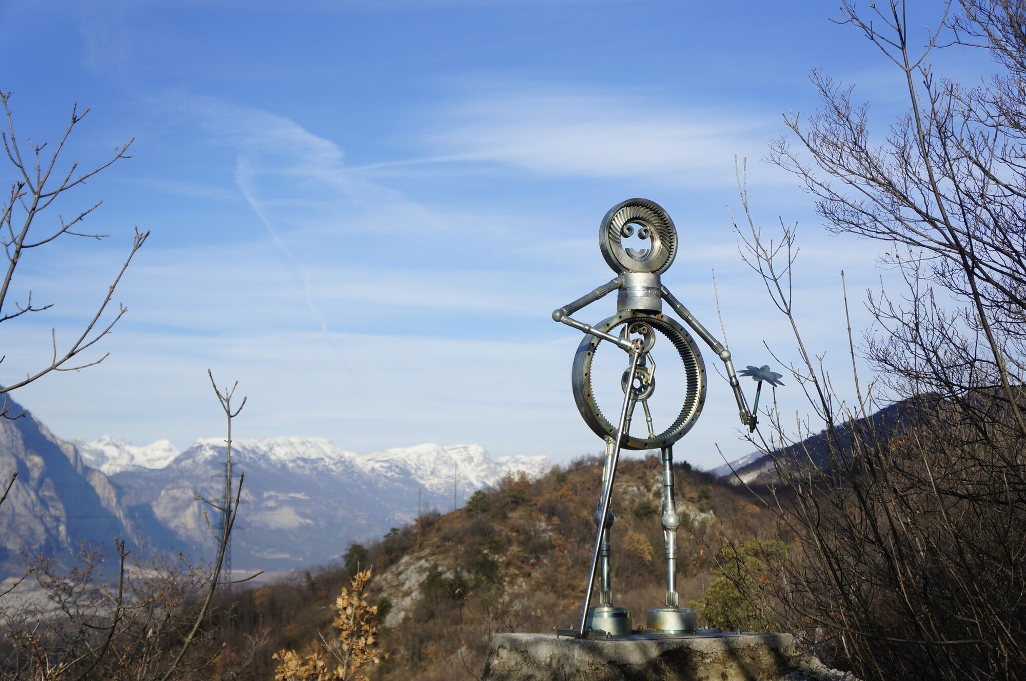
Once you get to Braila, it is only a short distance to the Open Air Gallery: a section of woodland transformed into an open air art gallery. There are a number of different installations among the rocks, trees and clearings and two different trails for visitors to enjoy them.
- Additional information
- Directions
- Public transportation
- Parking
-
Parking in via Battisti, Piazza Garibaldi und Via Capitelli (side streets of Piazza Repubblica) in Dro.
-

-
AuthorThe tour From Dro to Braila along the Teacher's Trail is used by outdooractive.com provided.