- Brief description
-
An easy walk around Dro, a small town in the Sarca Valley, from the central town square to the chapel of Sant'Abbondio on the hill of the same name
- Difficulty
-
easy
- Rating
-
- Starting point
-
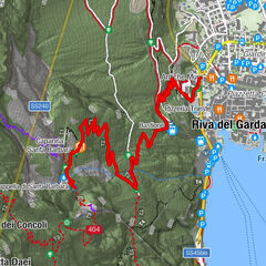
Dro - Piazza Repubblica
- Route
-
DroDro4.5 km
- Best season
-
JanFebMarAprMayJunJulAugSepOctNovDec
- Description
-
In 1630 the community of Dro survived a devastating epidemic of the plague. In order to give thanks, in 1632 the townspeople made a solemn vow to St. Sebastiano and St. Rocco to celebrate on the first Saturday of every month for the rest of the year a procession to the chapel of Sant'Abbondio and a mass in honour of the saints. Since 1993, this event has been the subject of a historical re-enactment called “the vow of Sant'Abbondio or the 12 Saturdays” which takes place in the last week of May.
The chapel of Sant'Abbondio is mentioned for the first time in 1485, but probably dates back much further. The building has a single nave and has frescos from the mid-16th century.
- Directions
-
Leave from Piazza Repubblica in Dro and continue towards the north end of the square. Leaving the Town Hall on your right, continue along via Battisti and cross the bridge. Following the SAT 425 signposting (“Molinei – Pietramurata”), turn onto a trail which continues for little under a kilometre. At the intersection for the trail “Sentiero delle cavre” turn right towards the sports field. Continue towards via Battisti and turn northwards in the direction of the hill. When you get to the car park, turn onto the trail at the information panel and follow the path as it winds uphill to the church of Sant'Abbondio. To get back to Dro, just follow via Battisti the way you came without any detours until you come to the town.
- Highest point
- 171 m
- Endpoint
-
Dro - Piazza Repubblica
- Height profile
-
 © outdooractive.com
 - Equipment
-
This excursion is quite simple and presents no particular difficulty. However, we still recommend you to wear suitable footwear, a hat, sun screen and sunglasses. And be sure to bring water!
- Safety instructions
-
The telephone number for the emergency services is 112.
The information on this chart is subject to inevitable variations, so this means that none of the indications are absolute. It is not entirely possible to avoid giving inexact or imprecise information, given how quickly environmental and weather conditions can change. For this reason we decline any responsibility for changes which the user may encounter. In any case, the hiker is advised to check the conditions of the places, environment and weather before setting out.
- Tips
-
Don't forget to take your camera. This itinerary, along with a visit to the Marocche, has some truly fascinating sights!
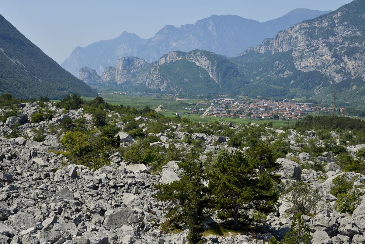
To complete your day in Dro, we recommend continuing on towards the Marocche area, the largest post-glacial rockslide in the entire Alps. Here in unique natural surroundings, you can visit the area with the Marocche itinerary, The valleys of the Moon.
- Additional information
- Directions
- Public transportation
- Parking
-
Parking in via Battisti, Piazza Garibaldi und Via Capitelli (side streets of Piazza Repubblica) in Dro.


-

-
AuthorThe tour Hidden Treasures: The Heart of Dro, in the Sarca valley is used by outdooractive.com provided.