- Brief description
-
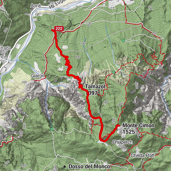
A panoramic trail, at the most exposed points equipped with handrail ropes and steps, which takes in the panoramic rocky ridge of Tamazòl and leads to the summit of Monte Cimone. A combination with the SAT 225 trail is recommended.
- Difficulty
-
difficult
- Rating
-
- Route
-
Tamazol (1,097 m)1.8 kmMonte Cimon (1,525 m)3.3 km
- Best season
-
JanFebMarAprMayJunJulAugSepOctNovDec
- Description
-
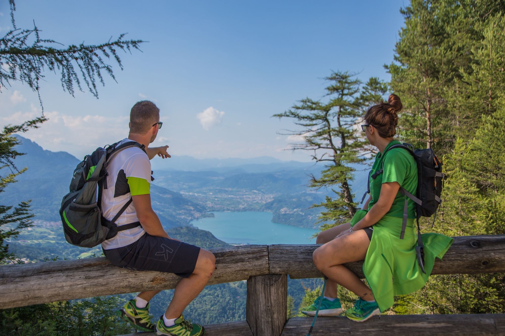
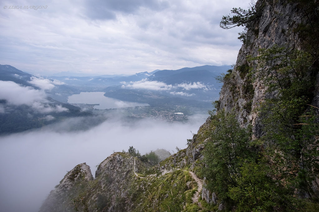
From Col delle Albarèle, which can be reached via path SAT 219, in about half an hour, from the locality of Pineta di Caldonazzo, we ascend through the mixed woodland that covers the ridge along which the route unfolds, gaining height by making numerous narrow hairpin bends. At an altitude of 1020 metres, we encounter the first equipment and, along an articulated and panoramic route, we pass a steep ledge that allows us to cross a challenging rocky drop and reach the meadow at the summit of Monte Tamazòl. Having admired the splendid view of the Alta Valsugana, we return to the forest and shortly arrive at the junction with the Sentiero della Pace (Peace Path). On the same path, we turn right and continue comfortably uphill, remaining at the edge of an escarpment that plunges into the deep Val Scura. At an altitude of 1,200 m, we abandon the "SdP" that continues towards Casare and Virti and take the path on the left that climbs the steep wood and leads to a forest road that we must follow to the right, slightly uphill, until we reach the wide clearing of Pra del Kempel. We turn left and enter a spruce forest, until we reach the large iron cross erected in the woods at the summit of Monte Cimone. SAT trails 220 and 225 also converge here. The vantage point can be reached in five minutes, following the signposts.
- Highest point
- 1,517 m
- Endpoint
-
Monte Cimone
- Height profile
-
 © outdooractive.com
 - Safety instructions
-
Please note that the practicability of the itineraries in a mountain environment is strictly linked to the contingent conditions and is therefore influenced by natural phenomena, environmental changes and weather conditions. For this reason, the information contained in this page may have changed. Before leaving for a tour, make sure the path you will approach is still accessible by contacting the owner of the mountain hut, the alpine guides or the visitor centres of the nature parks, the info offices of the local tourist board.
-

-
AuthorThe tour SAT / E222 - Il sentiero attrezzato del Tomazol is used by outdooractive.com provided.