- Brief description
-
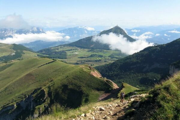
A pleasant route that leads from the centre of Gionghi, through the Belém woods, to the ridge of Mount Cimone, with panoramic views of Alta Valsugana. Combined with itinerary 224, it constitutes a beautiful circular excursion of unexpected interest.
- Difficulty
-
easy
- Rating
-
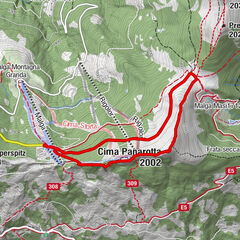
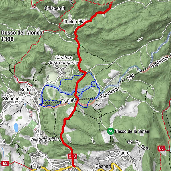
- Route
-
Gionghi0.0 kmChelda Platt2.5 kmMalga Belem3.0 km
- Best season
-
JanFebMarAprMayJunJulAugSepOctNovDec
- Description
-
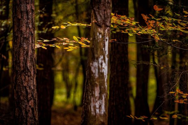
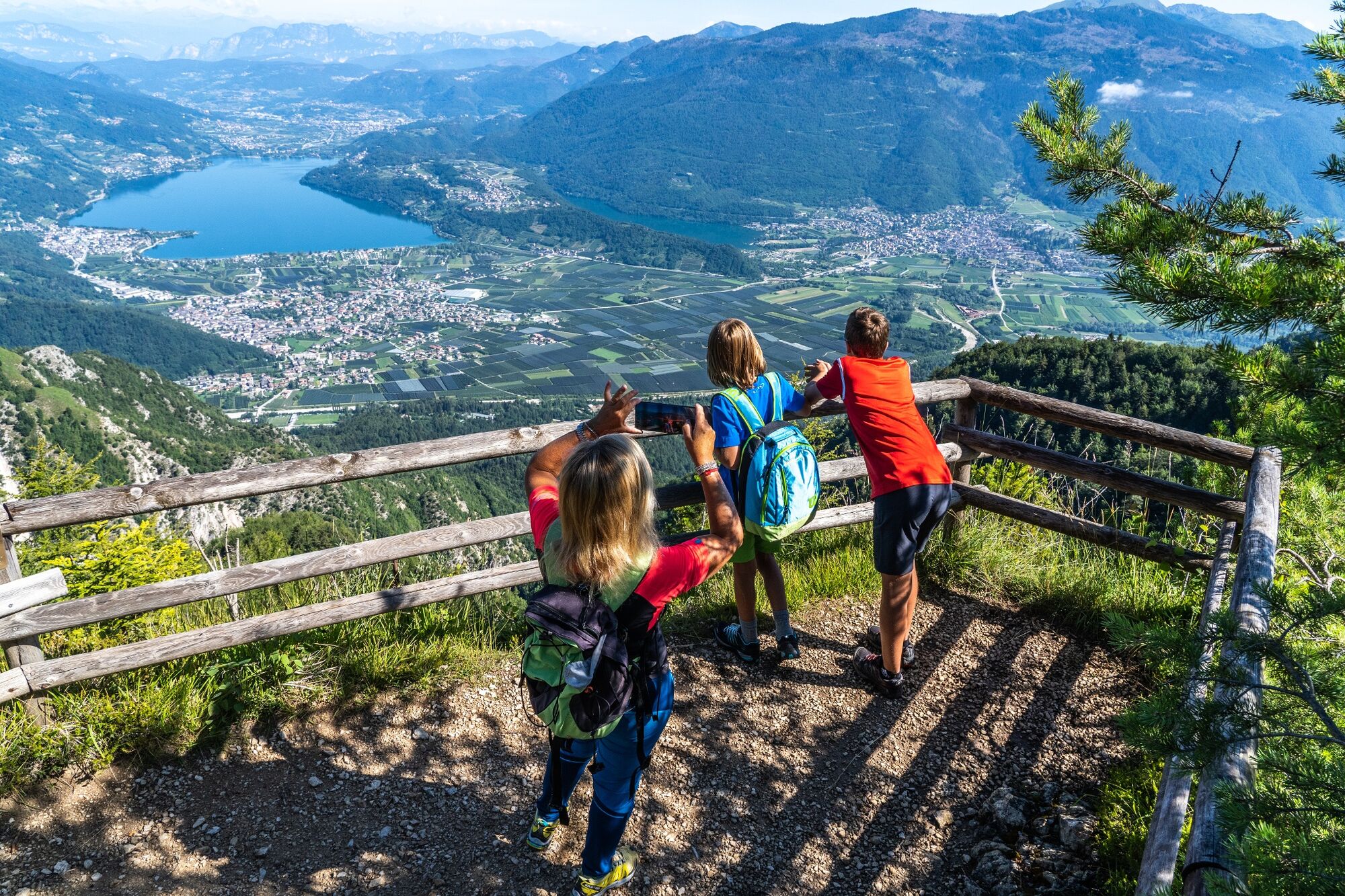
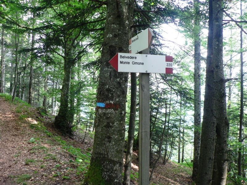
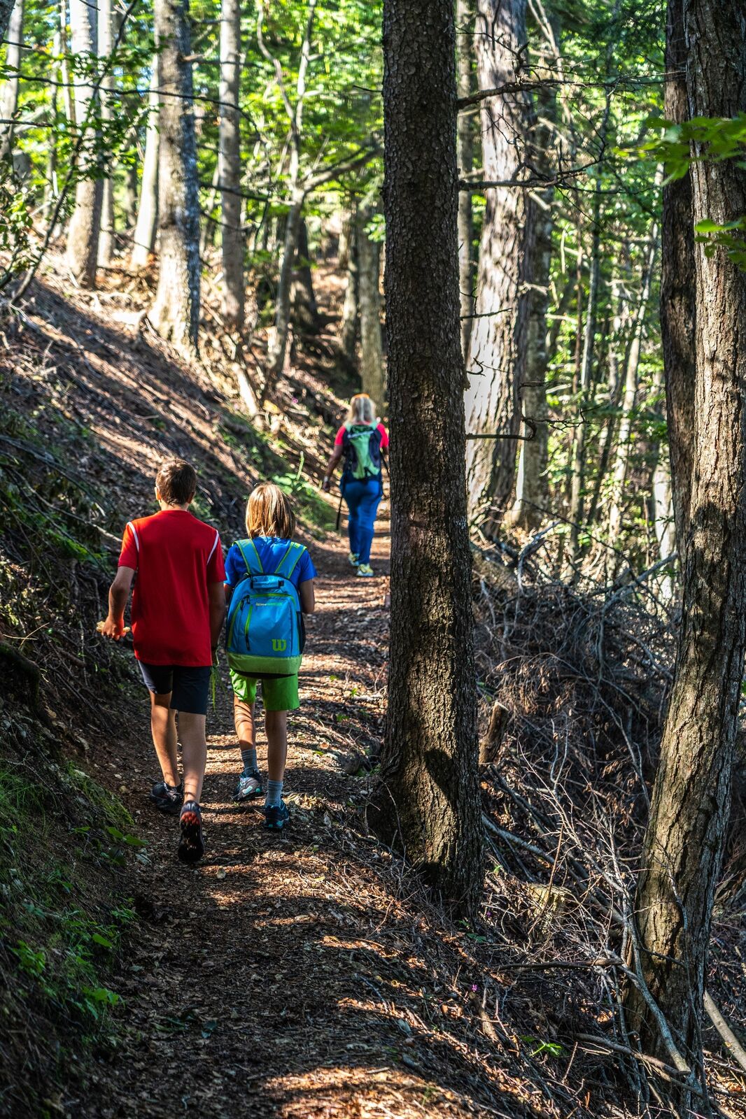
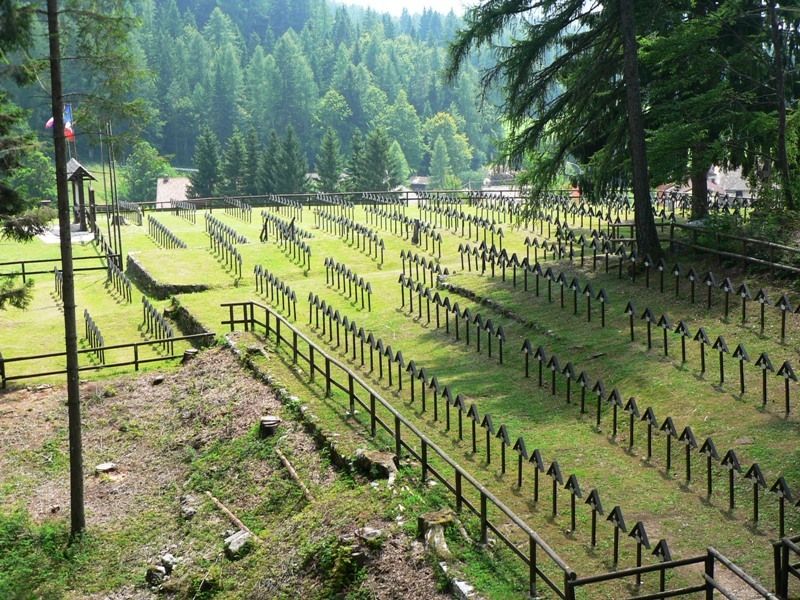
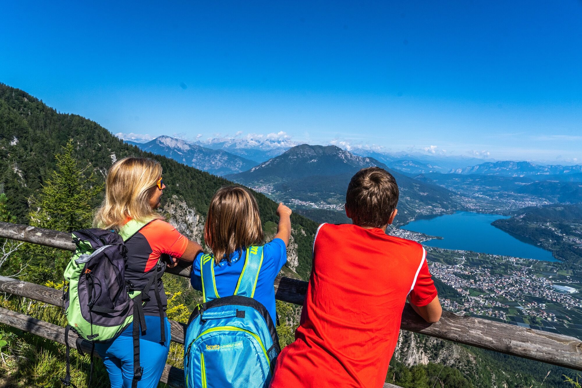
The route starts in the centre of the village of Gionghi, opposite the small church of St Rocco. We pass between the characteristic colourful houses of the settlement and along a path, accompanied by ancient dry stone walls, we cross meadows, pass through Fontanelle and enter a cool fir forest. After passing the Tablàt ski slope and a mixed forest, we cross the road that leads to the village of Slaghenaufi (and the nearby Austro-Hungarian War Cemetery). At this point we take the forest road, which is flat and continues in a northerly direction through meadows and woods to Baita Belém. After a few hundred metres, we follow a beautiful mule track on the right, which is paved in places (large calcara - lime kiln - on the right) and reach an esplanade. Here we take the previously abandoned forest road again and soon reach the clearing in which the Baita Belèm is located. We continue along a short stretch of forest road and follow a marked path that joins the sent. SAT 220 through which, turning right, we arrive in a few minutes at the Belvedere viewpoint, an exceptional balcony that opens out onto the Valsugana landscape with its lakes, villages, countryside and a vast horizon of mountains
- Highest point
- 1,425 m
- Endpoint
-
Loc. Belvedere
- Height profile
-
 © outdooractive.com
 - Safety instructions
-
Please note that the practicability of the itineraries in a mountain environment is strictly linked to the contingent conditions and is therefore influenced by natural phenomena, environmental changes and weather conditions. For this reason, the information contained in this page may have changed. Before leaving for a tour, make sure the path you will approach is still accessible by contacting the owner of the mountain hut, the alpine guides or the visitor centres of the nature parks, the info offices of the local tourist board.
- Author
-
The tour SAT / E223 - Gionghi - Malga Belem - Belvedere is used by outdooractive.com provided.