
- Brief description
-
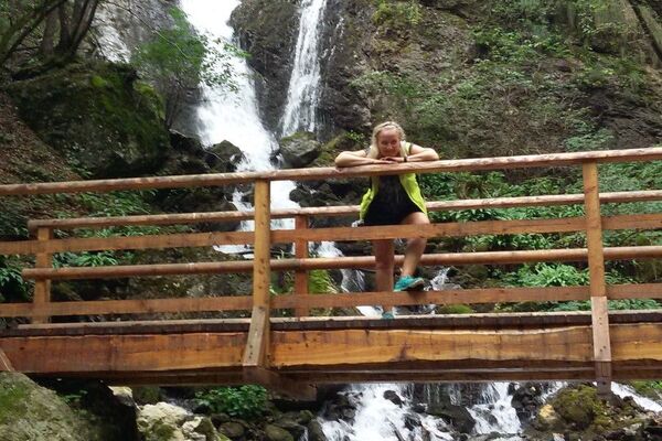
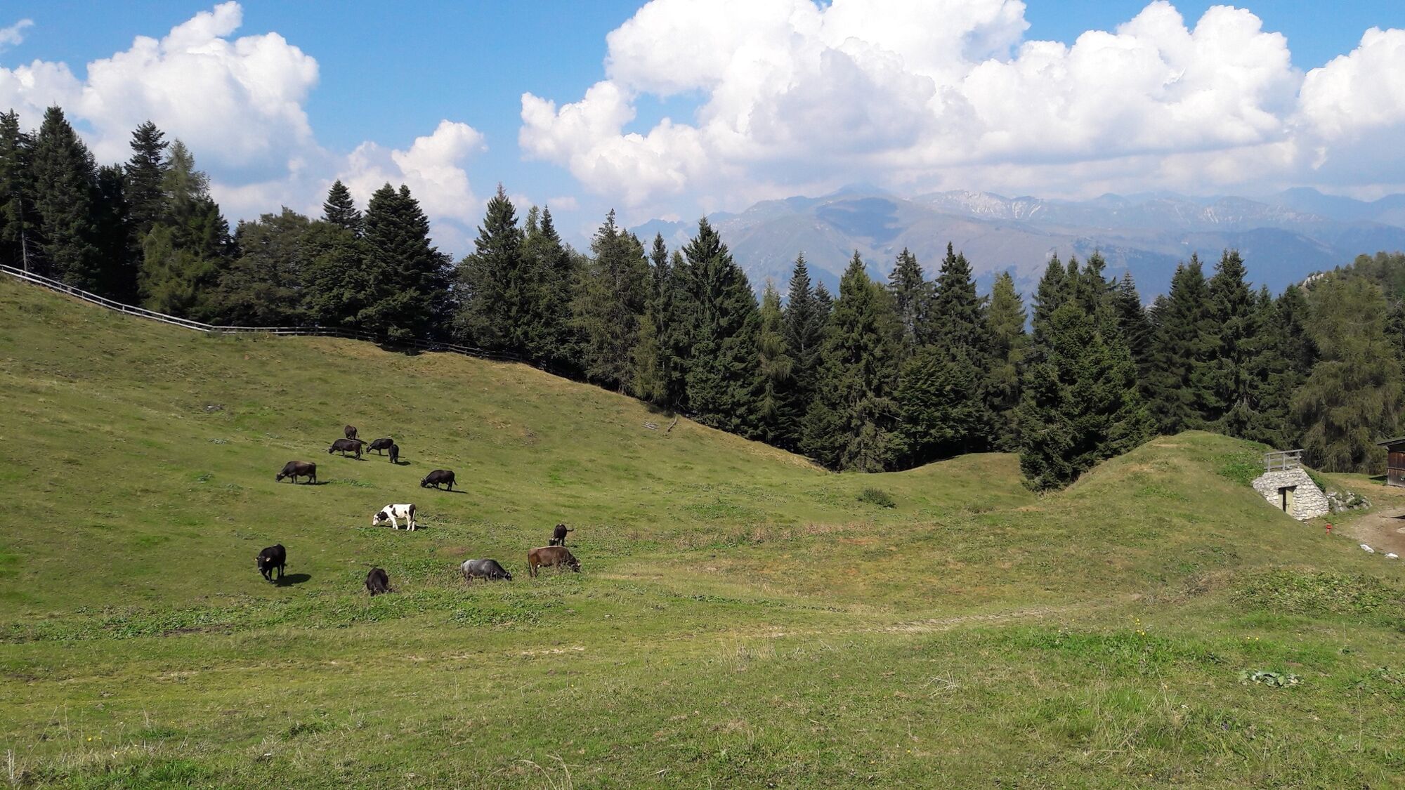
A less well-known corner of Valle di Ledro, at the border with Valle del Chiese and the Giudicarie.
- Difficulty
-
medium
- Rating
-
- Starting point
-
Tiarno di Sotto
- Route
-
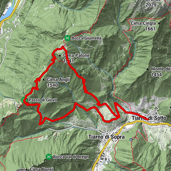
Tiarno di SottoChiesa di San Bartolomeo0.0 kmChiesa di San Giorgio1.4 kmBragugia9.7 kmChiesa di San Giorgio13.6 kmChiesa di San Bartolomeo15.1 kmTiarno di Sotto15.2 km
- Best season
-
JanFebMarAprMayJunJulAugSepOctNovDec
- Description
-
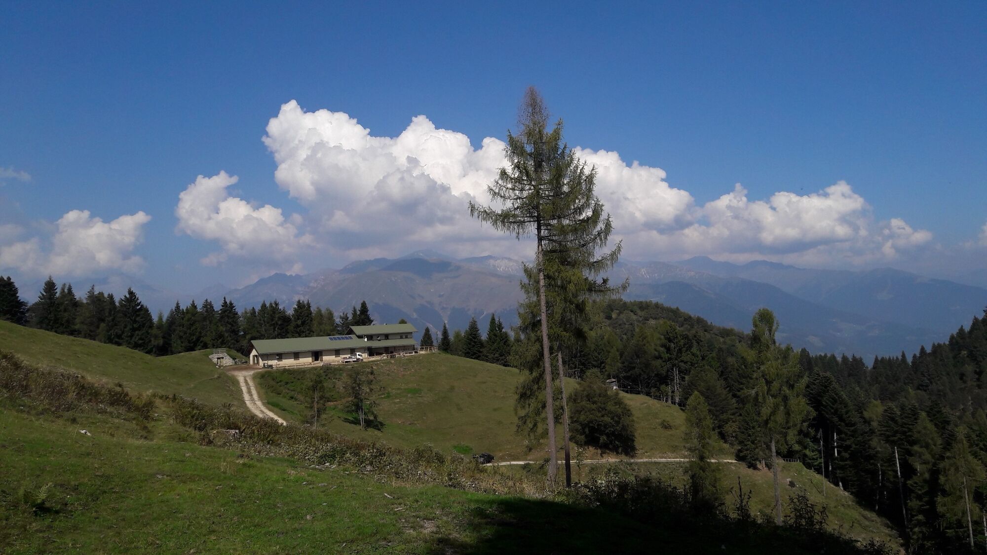
Le Tre Sorelle, the Three Sisters, three rocky pinnacles, provide a scenic backdrop to the pastures and malghe above Tiarno di Sotto.
- Directions
-
Start from the village and get to the little church of San Giorgio. Walk through the meadows and woods of Coloer towards Passo Giovo and turn into the SAT 450 path towards Malga Cap. From the malga take the path right getting downhill and leading back to the village via San Giorgio.
- Highest point
- 1,562 m
- Endpoint
-
Malga Cap
- Height profile
-
 © outdooractive.com
 - Equipment
-
You need to wear the right clothing and take the proper gear when you go hiking in the mountains. Even on relatively short easy outings make sure to take all you need so you don't run into trouble if things take an unexpected turn, for example a storm blows up or you have a sudden drop in energy levels.
What should you take when you go on a hike?
Your rucksack (for a day trip a 25/30L capacity should do) should contain:
water canteen (1L) snacks (e.g. mixed dried fruit or chocolate) First aid kit windproof jacket fleece change of t-shirt and socks (in a plastic bag) make sure to wear or at least bring a pair of long trousers hat sun screen sunglasses gloves whistle to attract attention in an emergencyMake sure you're wearing the right footwear for the trail and season. The going can get rough and rocky underfoot and a pair of hiking boots will protect you from sprains. When wet, a grassy slope, rocky slab or steep trail can be dangerous unless you are wearing the proper footwear.
And finally... don't forget to bring your camera! You'll need it to capture the stunning views you come across all over Garda Trentino. And if you like, you can share your memories with us at #GardaTrentino.
Emergency telephone number 112.
- Safety instructions
-
Safety Tips
Choose itineraries that suit your physical and technical abilities. Collect information about the area you are visiting and the trail’s conditions and get a detailed trekking map. Wear clothes and take equipment that suit the difficulty and length of your tour. Keep emergency gear in your rucksack, including first aid supplies. Do not go walking alone in the mountains. In any case, tell someone where you are going and report back on returning. Look at the weather forecast before setting off and always keep an eye on the weather. In case of doubt, go back. It is better to give up than risk bad weather or face difficulties beyond your strength, ability and equipment. Do not leave marked paths and do not take shortcuts. All described walks are in a natural environment and therefore their use is at your own risk.This information is subject to inevitable variations, so none of these indications are absolute. It is not entirely possible to avoid giving inexact or imprecise information, given how quickly environmental and weather conditions can change. For this reason, we decline any responsibility for changes which the user may encounter. In any case, it is advisable to check environment and weather conditions before setting out.
- Additional information
- Directions
- Public transportation
- Parking
-
Car Park in Piazza San Giovanni Bosco, next to the church.
-

-
AuthorThe tour Le Tre Sorelle: the Three Sisters is used by outdooractive.com provided.