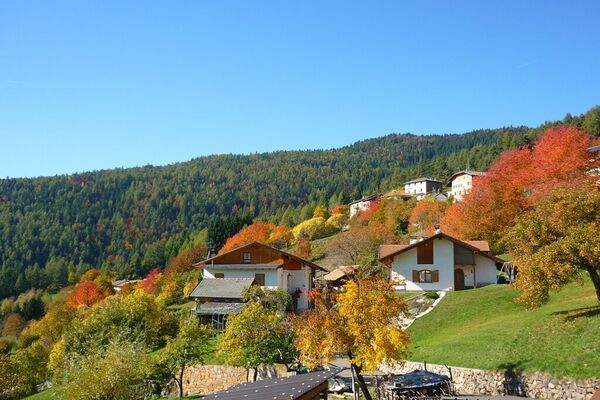
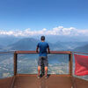
© APT - Valsugana e Lagorai - Omar Ropelato

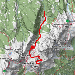
© APT - Valsugana e Lagorai - Omar Ropelato

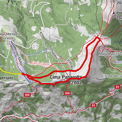
© APT - Valsugana e Lagorai - Omar Ropelato

© APT - Valsugana e Lagorai - Omar Ropelato

- Brief description
-
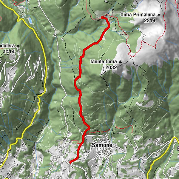
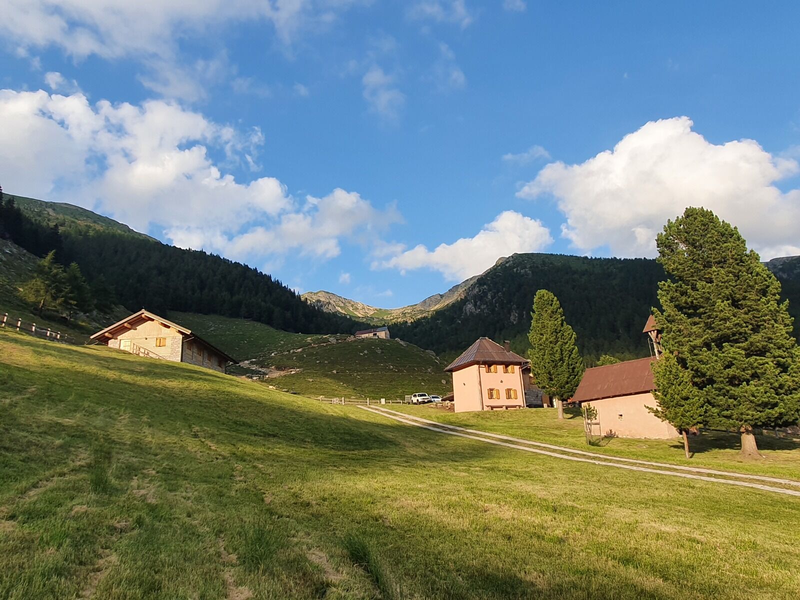
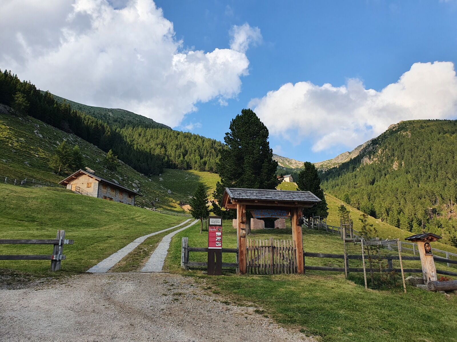
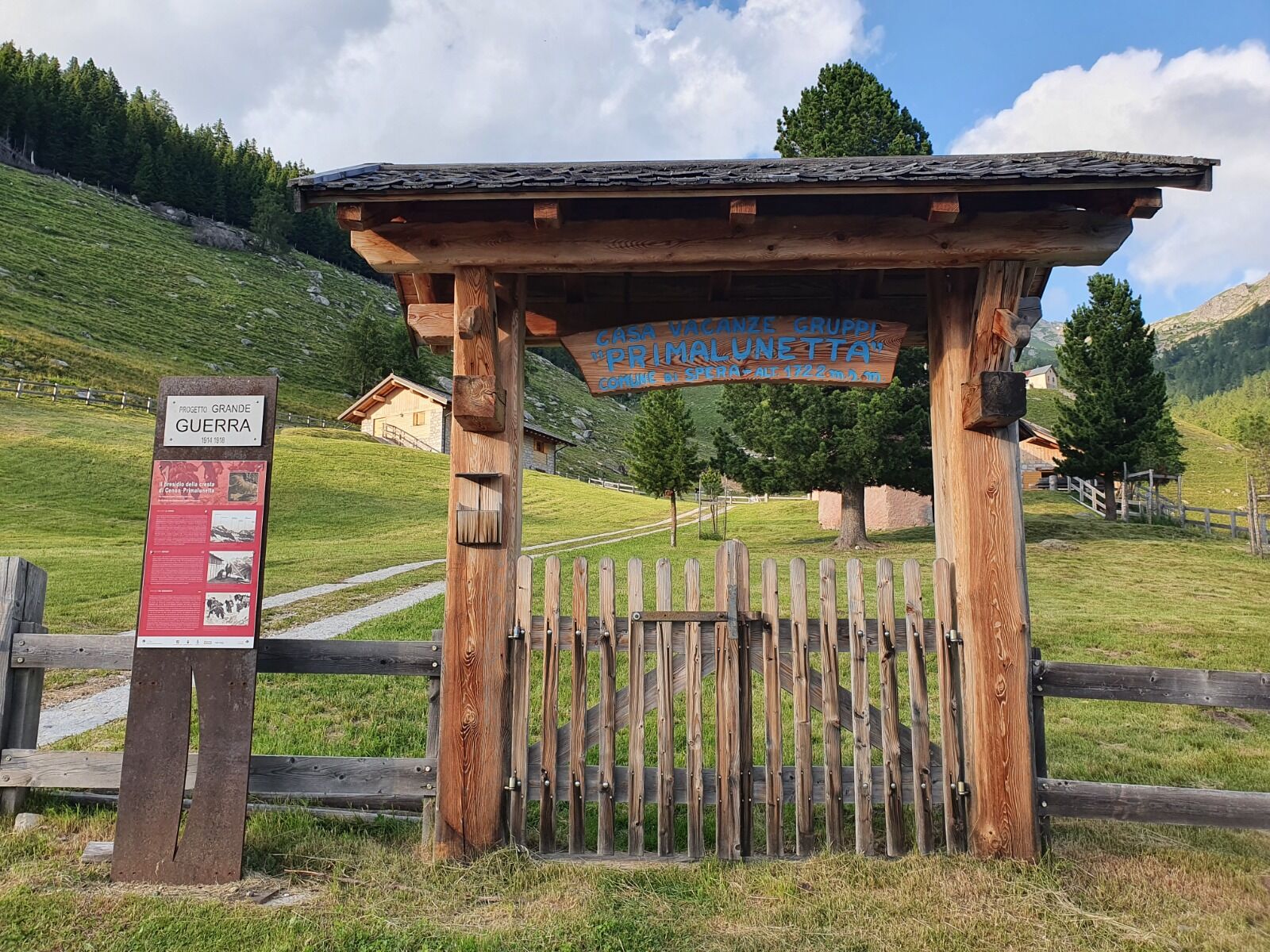
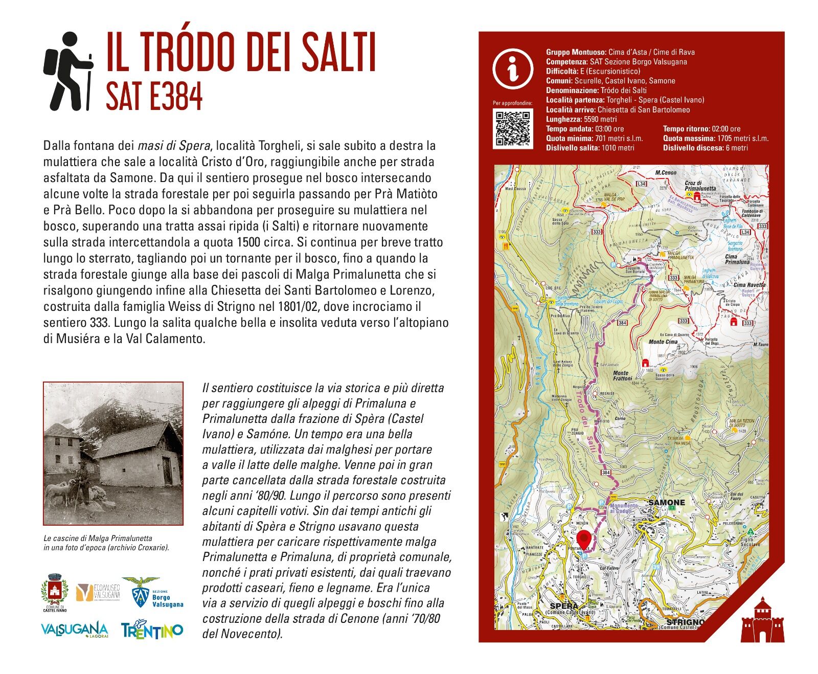
L'itinerario costituisce la via più diretta per raggiungere gli alpeggi di Primaluna e Primalunetta dai paesi di Spèra e Samóne. Un tempo era una bella mulattiera, utilizzata dai malghesi per portare a valle il latte delle malghe; venne poi in gran parte cancellata dalla strada forestale costruita negli anni '80-90. Lungo il percorso sono presenti alcuni capitelli votivi.
- Difficulty
-
medium
- Rating
-
- Route
-
Fontanelle0.0 kmPaluati0.2 kmNoslè0.6 kmchiesa dei Santi Bartolomeo e Lorenzo5.7 kmNoslè10.8 kmPaluati11.2 kmFontanelle11.4 km
- Best season
-
JanFebMarAprMayJunJulAugSepOctNovDec
- Highest point
- 1,699 m
- Endpoint
-
Località Primalunetta, Chiesetta di San Bortolo
- Height profile
-
 © outdooractive.com
-
-
AuthorThe tour Trodo dei Salti is used by outdooractive.com provided.
GPS Downloads


General info
Cultural/Historical
Insider tip
Flora
A lot of view
Other tours in the regions