
- Brief description
-
The route passes through the heart of Mount Baldo Nature Park, which encompasses the multifaceted landscapes characteristic of the midlands.
- Difficulty
-
medium
- Rating
-
- Starting point
-
Villaggio S. Valentino
- Route
-
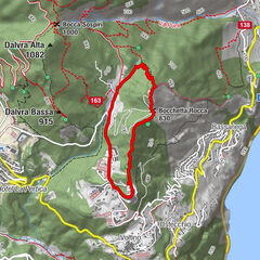
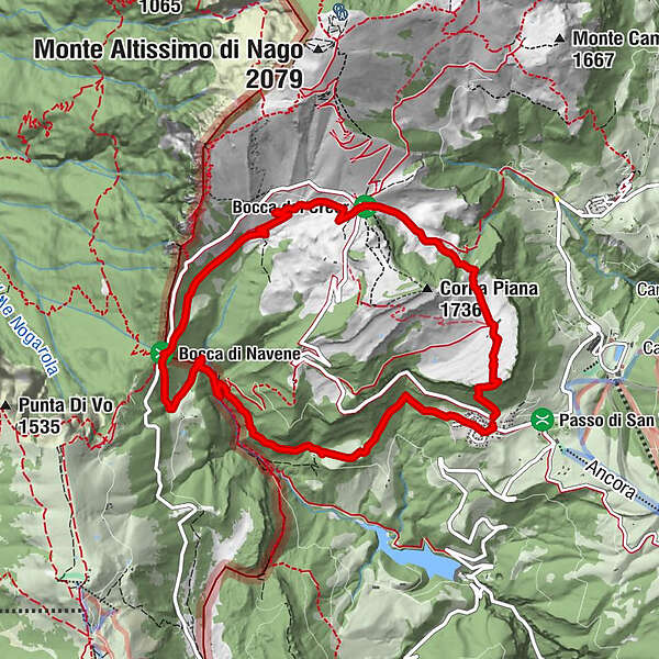
San ValentinoCrone di Bes (1,540 m)0.6 kmPrati di Pesna (1,530 m)2.2 kmPianaz (1,198 m)9.1 kmSan Valentino10.8 km
- Best season
-
JanFebMarAprMayJunJulAugSepOctNovDec
- Description
-
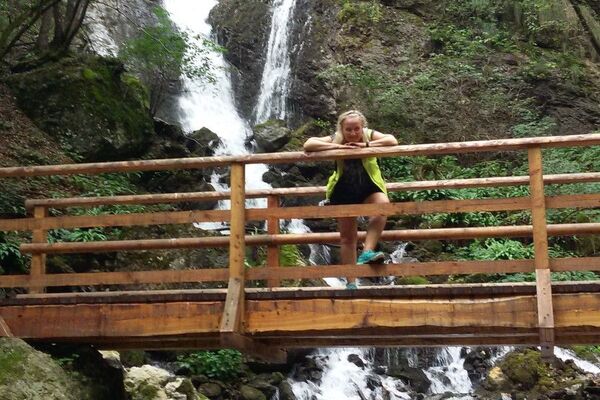
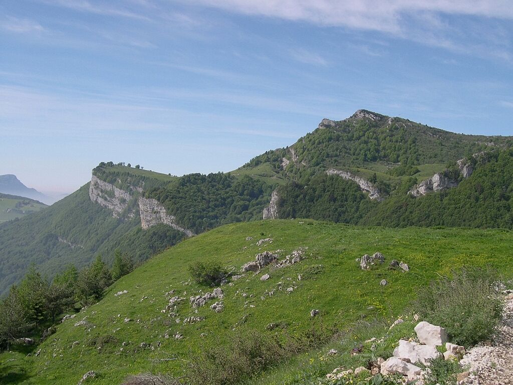
Passing through the pastures of Malga Bes and Malga Tolghe, to the terrace on the lake of Bocca Navene you can admire the views from Vallagarina to Lake Garda. From here you can head into the area known as the Green Lands, where pigments were once extracted for color production. Along the way, with any luck, you may encounter the friendly marmots that inhabit the vast meadows.
WARNING: in summer 2023 and until construction is completed, part of the trail falls within an area closed to transit-a change during the trail will cause the closed section to be avoided; follow the new signs.
- Directions
-
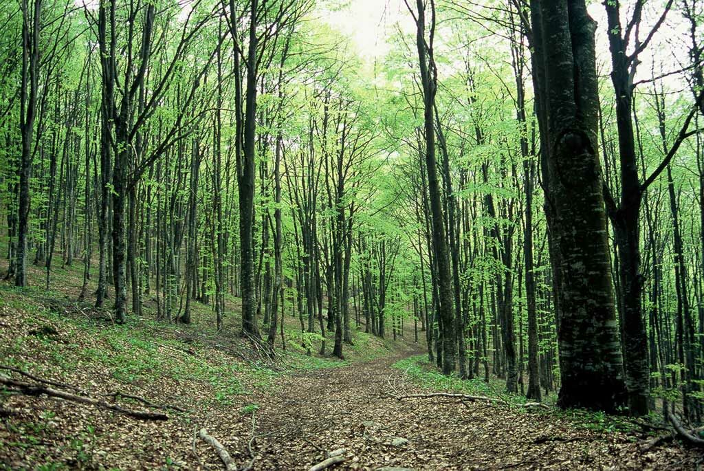
Coming from Brentonico, from the parking lot along SP3 just after the village of San Valentino, take path 650 "delle Vipere" on the right. After the first stretch of meadow, the ascent enters a beech forest until below the cliffs of Crona di Bes, which you pass thanks to a short equipped section, beyond which you will reach the vast plain of the malga. From here along a comfortable mule track you will cross the Bocca del Creer and then descend to Malga Tolghe (Sent. SAT O653). This area is characterized by the presence of numerous marmot burrows and it is therefore easy to encounter these cute rodents. When you reach Bocca Navene, a view of the panorama of Lake Garda is a must. From here descend further still following SAT signs O653 until you cross the stream at the bottom of the valley. Climbing up a little, taking the left, you will be able to trace SAT Path O654, which, with a constant slope passing through the Pianaz locality, will bring you back to the starting point.
- Highest point
- 1,616 m
- Endpoint
-
Villaggio S. Valentino
- Height profile
-
 © outdooractive.com
 - Equipment
-
We recommend that you wear appropriate clothing and, most importantly, appropriate footwear.
- Safety instructions
-
As with all mountain hikes, you should consult the weather forecast before embarking on the hike.
Please note that the under-rock section of Viper Trail 0650 is not suitable for young children or those suffering from vertigo.
- Directions
-
From the A22 freeway exit Rovereto Sud follow the signs for Brentonico and then continue in the direction of San Giacomo - San Valentino.
- Public transportation
-
Brentonico can be reached by public transport; for timetable information see the portal www.trentinotrasporti.it.
- Parking
-
Along SP3, both before and after the village, you will be able to find numerous parking options.
-

-
AuthorThe tour Ring trail from Villaggio San Valentino is used by outdooractive.com provided.