
- Brief description
-
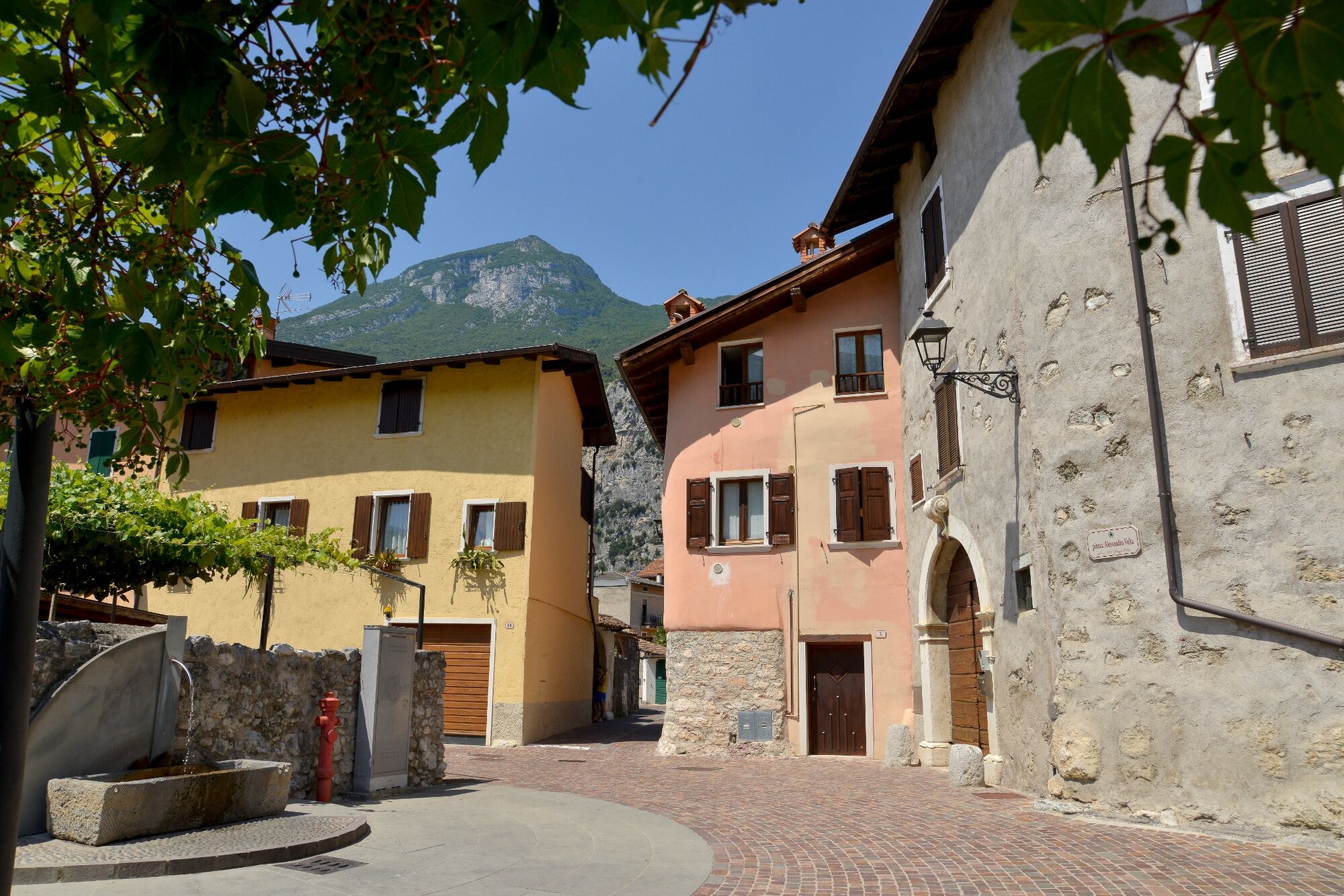
Between the Sarca Valley and the slopes of Monte Stivo, this stage of GardaTrek Medium Loop crosses some of the lesser known but equally charming areas of Garda Trentino
- Difficulty
-
difficult
- Rating
-
- Starting point
-
Ceniga
- Route
-
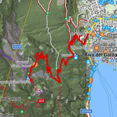
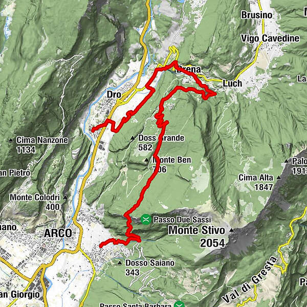
Ceniga0.0 kmCoste di Varino2.0 kmDrena (398 m)6.4 kmCasina8.2 kmLa Casina8.3 kmBanale9.2 kmBraila11.0 kmCarobbi13.0 kmTroiana13.7 kmCapitello delle Quattro Facce19.2 kmChiesa di San Floriano19.6 kmArco19.8 kmPizzeria Ristorante "Da Marosi"19.9 kmBolognano19.9 km
- Best season
-
JanFebMarAprMayJunJulAugSepOctNovDec
- Description
-
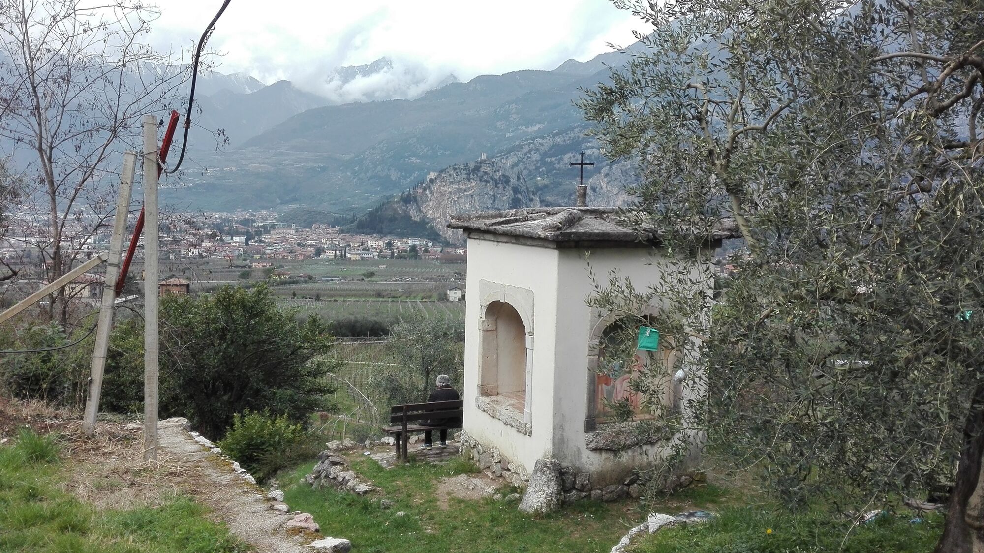
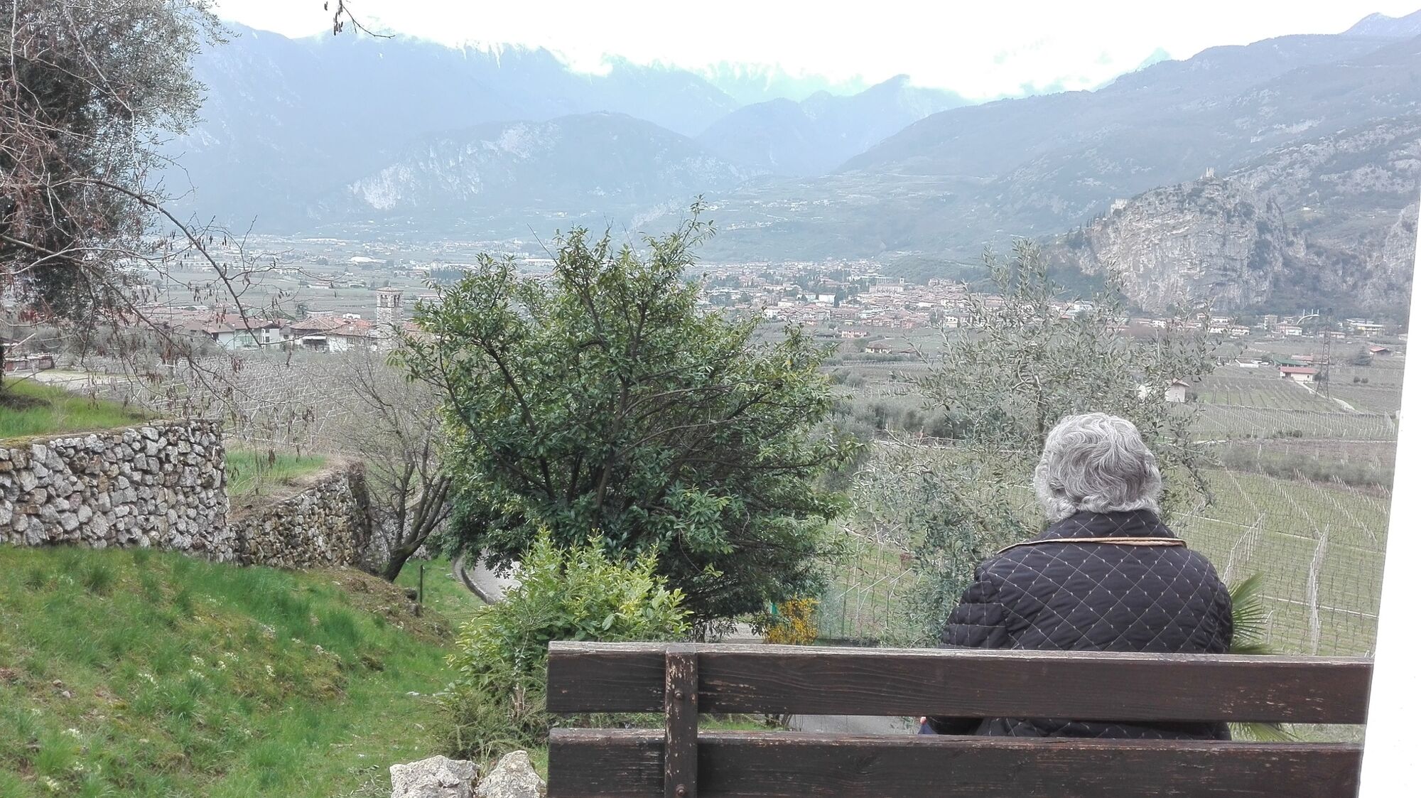
Ceniga and Bolognano are only a few kilometres apart as the crow flies: the Medium Loop trail takes you on a detour to discover the most interesting features of this area, especially on the slopes of Monte Stivo.
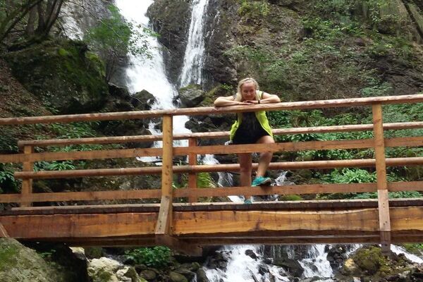
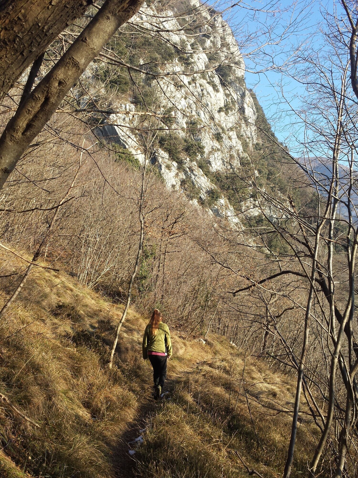
Before you head up towards Drena and the Castle which overlooks the rocky wasteland of the Marocche, the trail passes near the ravine of the Rio Sallagoni river where there is one of the most spectacular via ferratas in all of Garda Trentino.
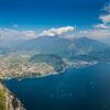
Shortly before Braila, the trail passes through the Open Air Gallery, an art project which turns the woods into an open air exhibition. Here you will see many installations made with all sorts of recycled materials bringing to life a wonderful world of colour.From Troiana, a path leads across the mountainside and as far as the ridge running down from the summit of Monte Stivo, where you have wonderful views of the towns of Massone and Bolognano and over the plain as far as Torbole and Lake Garda.
- Directions
-
From Ceniga you cross the Sarca Valley and head along country lanes to the hillside of Varino on the lower slopes of Monte Stivo. After Maso Trenti the road starts to rise as you go towards Drena with its imposing castle on the rock above; go through the centre and then head for Casina, then follow signposts which take you back in the direction of Braila. Now go uphill towards Carobbi and Troiana which you pass and then take a trail along the hillside to the ridge running down from Monte Stivo. A steep trail takes you to the Ir Valley just above Bolognano which you reach along backroads through the olive groves.
- Highest point
- 805 m
- Endpoint
-
Bolognano
- Height profile
-
 © outdooractive.com
 - Equipment
-
You need to wear the right clothing and take the proper gear when you go hiking in the mountains. Even on relatively short easy outings make sure to take all you need so you don't run into trouble if things take an unexpected turn, for example a storm blows up or you have a sudden drop in energy levels.
What should you take when you go on a hike?
Your rucksack (for a day trip a 25/30L capacity should do) should contain:
water canteen (1L) snacks (e.g. mixed dried fruit or chocolate) First aid kit windproof jacket fleece change of t-shirt and socks (in a plastic bag) make sure to wear or at least bring a pair of long trousers hat sun screen sunglasses gloves whistle to attract attention in an emergencyMake sure you're wearing the right footwear for the trail and season. The going can get rough and rocky underfoot and a pair of hiking boots will protect you from sprains. When wet, a grassy slope, rocky slab or steep trail can be dangerous unless you are wearing the proper footwear.
And finally... don't forget to bring your camera! You'll need it to capture the stunning views you come across all over Garda Trentino. And if you like, you can share your memories with us at #GardaTrentino.
Emergency telephone number 112.
- Safety instructions
-
Safety Tips
Choose itineraries that suit your physical and technical abilities. Collect information about the area you are visiting and the trail’s conditions and get a detailed trekking map. Wear clothes and take equipment that suit the difficulty and length of your tour. Keep emergency gear in your rucksack, including first aid supplies. Do not go walking alone in the mountains. In any case, tell someone where you are going and report back on returning. Look at the weather forecast before setting off and always keep an eye on the weather. In case of doubt, go back. It is better to give up than risk bad weather or face difficulties beyond your strength, ability and equipment. Do not leave marked paths and do not take shortcuts. All described walks are in a natural environment and therefore their use is at your own risk.This information is subject to inevitable variations, so none of these indications are absolute. It is not entirely possible to avoid giving inexact or imprecise information, given how quickly environmental and weather conditions can change. For this reason, we decline any responsibility for changes which the user may encounter. In any case, it is advisable to check environment and weather conditions before setting out.
- Tips
-
Along the way you'll cross numerous chestnut woods. These trees, cultivated for centuries, represented an primary source of livelihood for the locals
- Additional information
-
This trek can normally be done all year round, but in the winter months you might come across some snow on the way. For this reason you should check the conditions of the trail if you are thinking of doing it from November to March. In this period it's advisable to check in advance the opening of mountain huts and accommodation, as they might be closed. Click here for information on accommodation, vacancies and prices at Garda Trentino.
For more information on routes, services (guides, mountain huts, shops etc.) and hiking friendly accommodation: Garda Trentino - +39 0464 554444
- Directions
- Public transportation
- Parking
-
Free parking in Via Arco.

-
-
AuthorThe tour GardaTrek - Medium Loop 3: from Ceniga to Bolognano is used by outdooractive.com provided.


General info
-
Garda Trentino
666
-
Dro - Garda Trentino
248