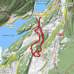
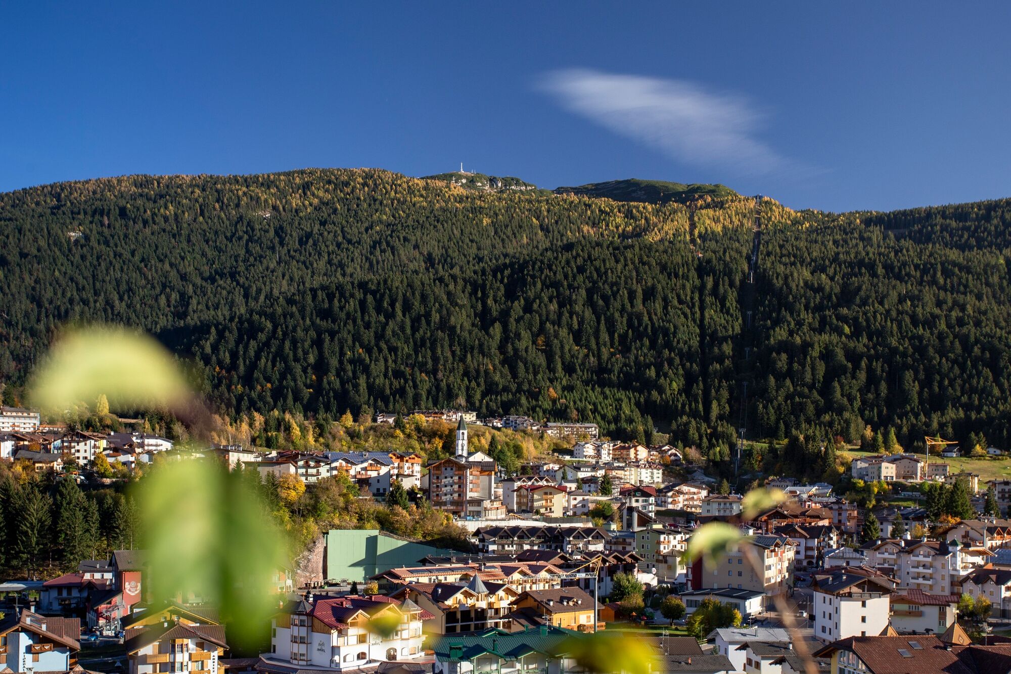
- Brief description
-
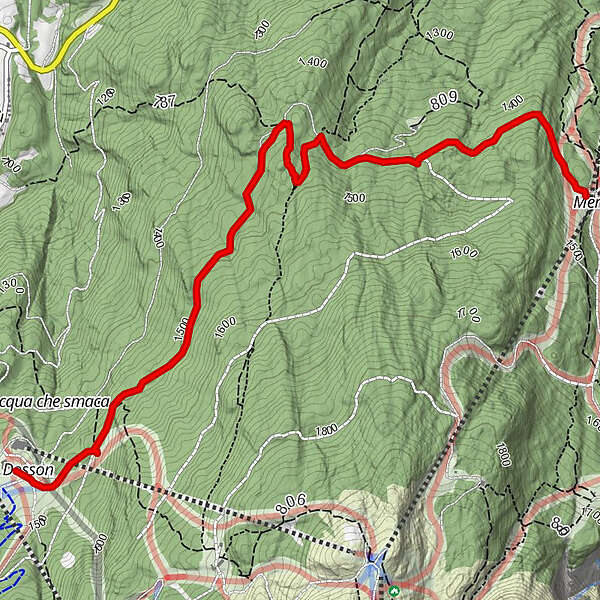
Through the Paganella forest.
- Difficulty
-
easy
- Rating
-
- Starting point
-
Dosson
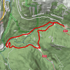
- Route
-
Pian Dosson
- Best season
-
JanFebMarAprMayJunJulAugSepOctNovDec
- Description
-
Easy path on a dirt road through the darkness of the Paganella forest.
- Directions
-
Easy path on a dirt road.
From locality Dosson (intermediate cablecar stop Andalo-Doss Pelà) along the forest road at foot of the famous "track of champions" Olimpionica-2 of Paganella
This is a path in the woods and it is long about 4,300 meters in both directions from locations Dosson or Meriz.
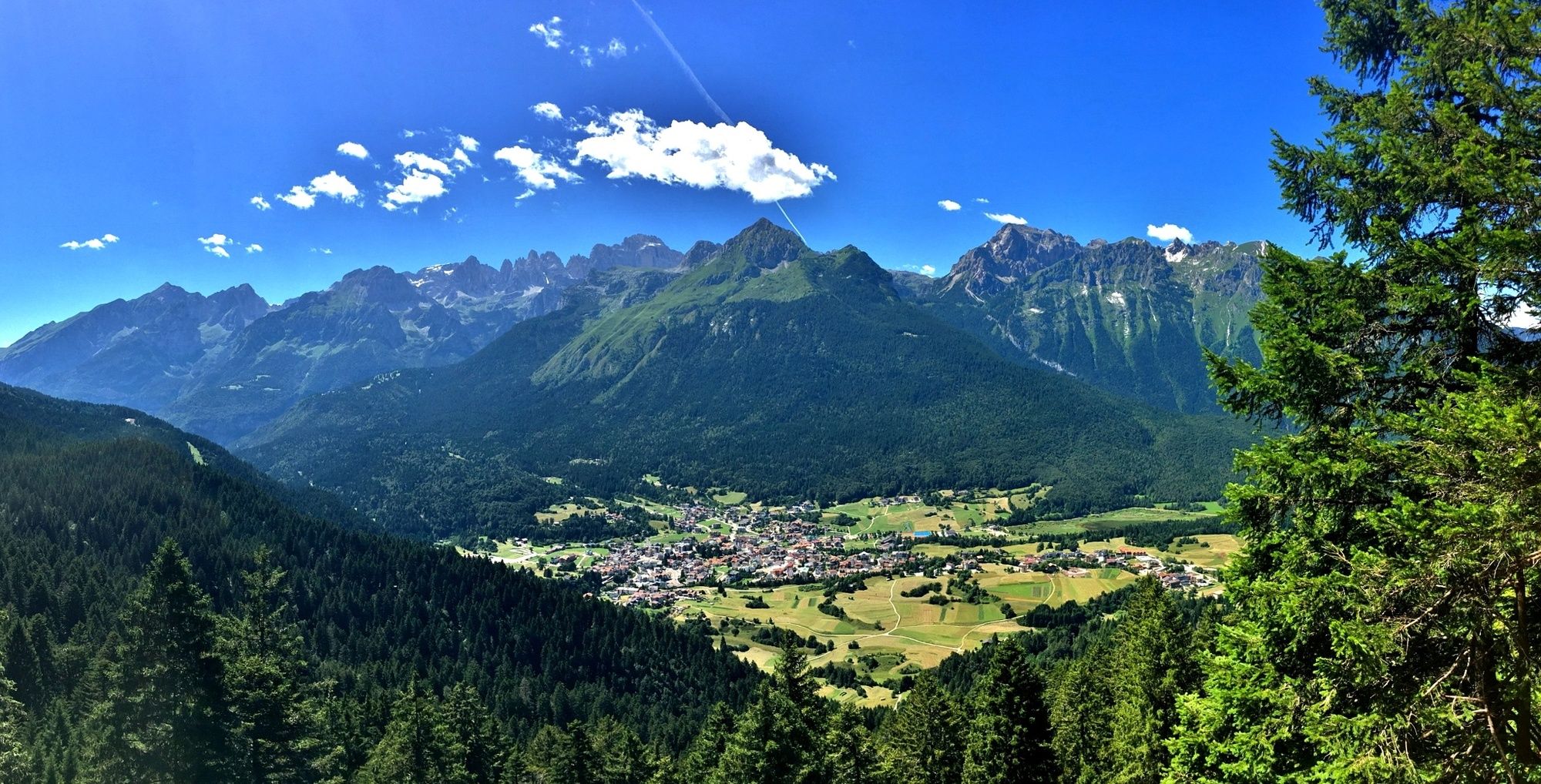
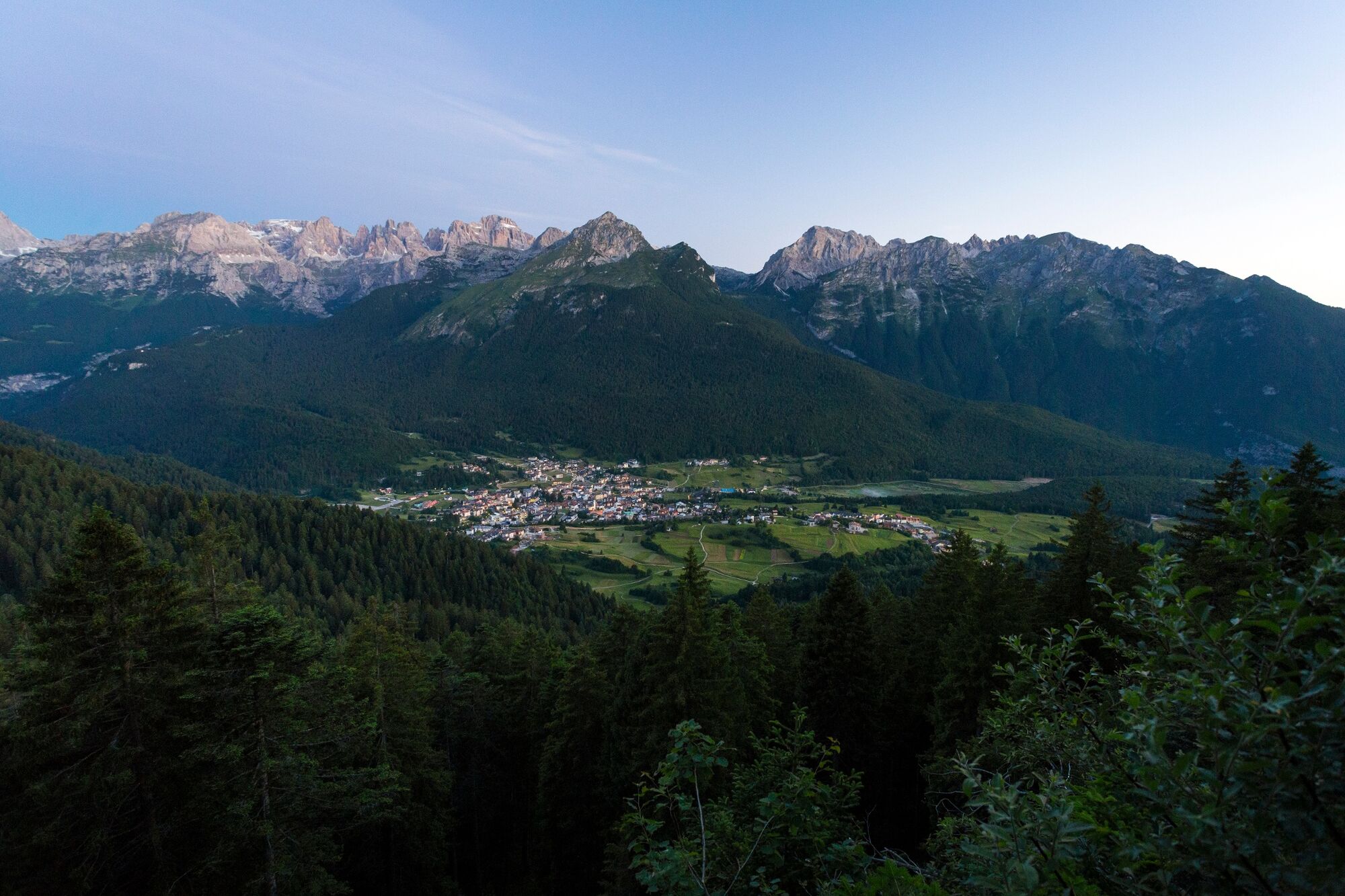
About halfway there is a point view “Croz del Rasar” from which you can observe Andalo from the high and enjoy a unique view of the Brenta Dolomites. At the hut Meriz we suggest you to walk along the short Sentiero dell'Amore.
Return along the same track; otherwise down to Fai della Paganella using the chairlift and then you reach Andalo by bus.
- Highest point
- 1,513 m
- Endpoint
-
Meriz
- Height profile
-
 © outdooractive.com
 - Equipment
-
Gym oder trekkingshoes, rucksack with water, snacks and rain jacket.
- Safety instructions
-
#TakeCareInTheMountains
Before leaving, prepare your itinerary well
Take note of the correct trails to take near crossroads and any refreshment points along the way, where you can stop for a break. If you can, download the track to consult it even offline.
Respect the environment and choose a trail suitable for your physical preparation
When hiking in the mountains, remember to leave the sites you visit clean. In addition, take into account length, height variance and any technical difficulties of the trail you have chosen.
Choose suitable equipment and gear
If you go trekking, you must have technical boots, water bottle, rain jacket, food, a headlight battery, any spare parts and a first-aid kit. If you hike over via ferratas or practice climbing, don’t forget the appropriate technical equipment.
Consult the weather reports, …
… especially local ones, that give more specific information. This advice is especially important if you are tackling a via ferrata: before setting off, make sure the weather is stable.
It is always better to complete your adventure in company
This way, you can always count on mutual help in case of difficulty. In the mountains, even a simple sprain can become a problem if you are alone.
Share information about your itinerary with somebody
Tell friends, family or mountain hut managers which itinerary you intend to take and the estimated time of your return. This information can be essential in case of emergency.
Rely on a mountain professional
Alpine guides, mountain hut managers or mid-mountain guides are excellent sources for obtaining useful information on the environmental conditions of mountain routes.
Pay attention to the signage along the way
Follow the signage bearing information on trails (number and destination), and the indications you find along the path, namely the white and red trail signs. Always remember to bring a map of the route (paper or digital) with you.
Don’t hesitate to go back on your steps
If tiredness arises, if you have doubts about the route or if the weather turns bad, it is better to go back along the trail you already completed rather than risk continuing.
In the event of an accident, call 112
When you call, remember to provide information on the exact location of the accident, the activity you were conducting, the number of people involved and their conditions, the weather conditions and the telephone number from which you are calling.
- Tips
-
Le porte sul bosco, the didactical way from Dosson to Meriz Croz del Rasar viewpoint Sentiero dell'Amore
- Additional information
- Directions
-
If you come from the North side: At the roundabout near motorway exit you turn right on Mezzolombardo. After travel across the village, following the driving direction for Fai della Paganella - Andalo - Molveno
If you come from the South side: From the motorway exit of Trento Nord you proceed on Val di Non e Altopiano della Paganella, at the exit of Mezzolombardo tunnel you turn on the right on SP 64. You proceed on Fai della paganella - Andalo direction.
- Public transportation
-
Trentino Trasporti - line 611 - Local train from Trento to Mezzolombardo (line Trento - Malé). From Mezzolombardo to Andalo take the bus.
- Parking
-
In the centre of Andalo or near the swimming pool (payment parking), near the sportscentre (free parking).


-

-
AuthorThe tour Dosson - Croz del Rasar - Meriz - Sentiero dell'Amore is used by outdooractive.com provided.