- Brief description
-
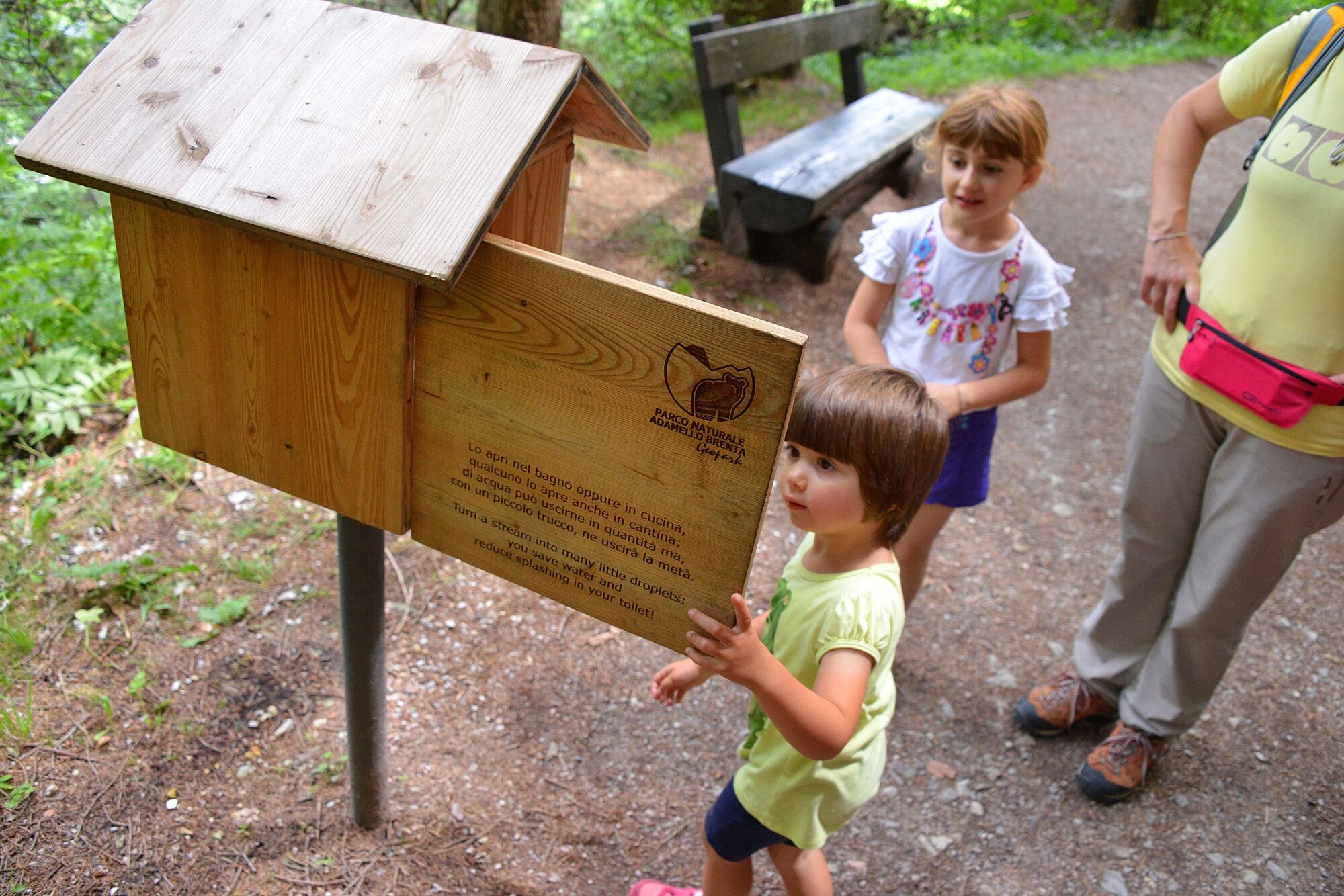
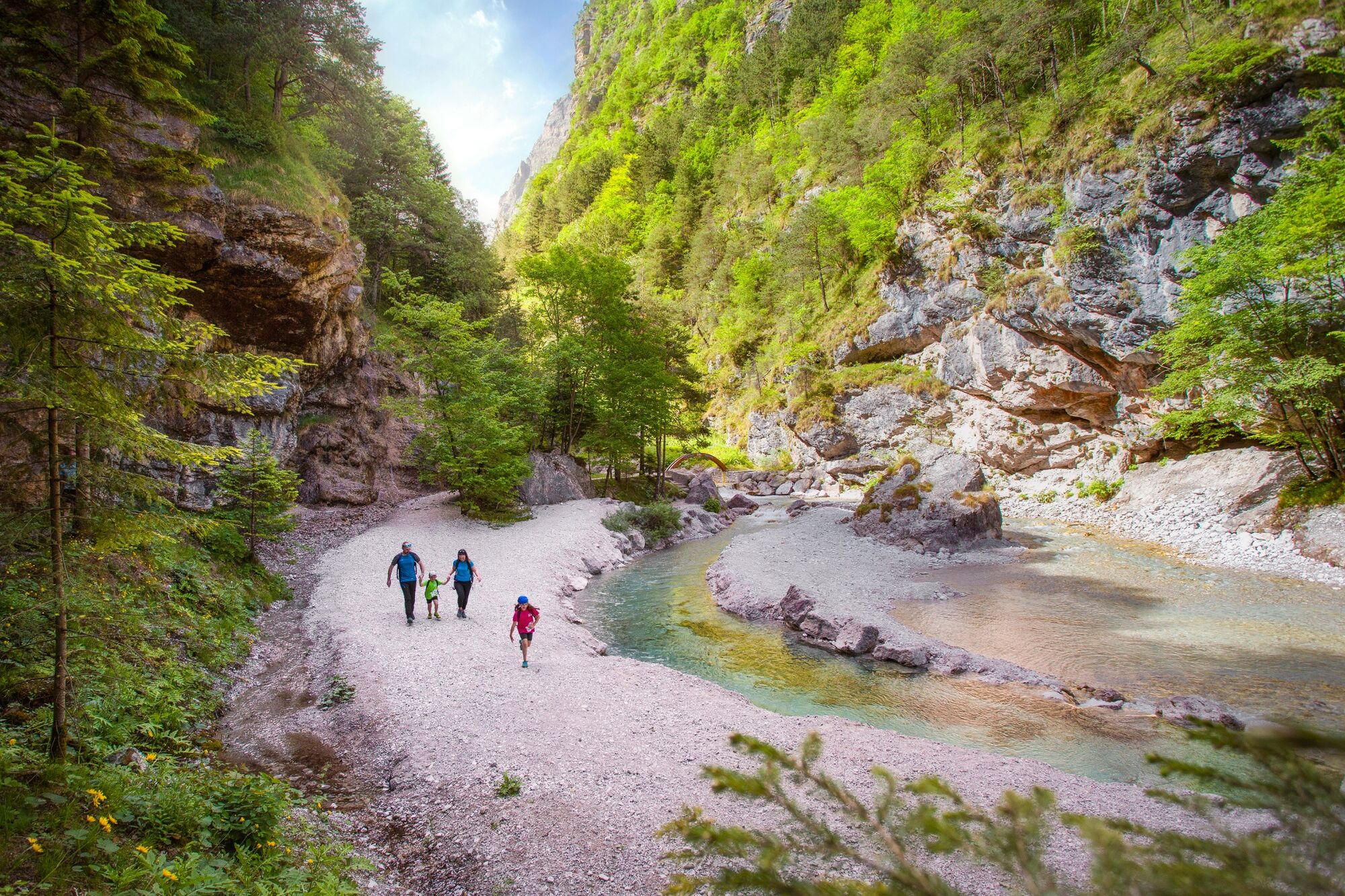
In the heart of the forest
- Difficulty
-
easy
- Rating
-
- Starting point
-
Molveno - Via Dolomiti
- Route
-
MolvenoCascate tra le rocce1.8 kmTavoli e panchine2.2 km
- Best season
-
JanFebMarAprMayJunJulAugSepOctNovDec
- Description
-
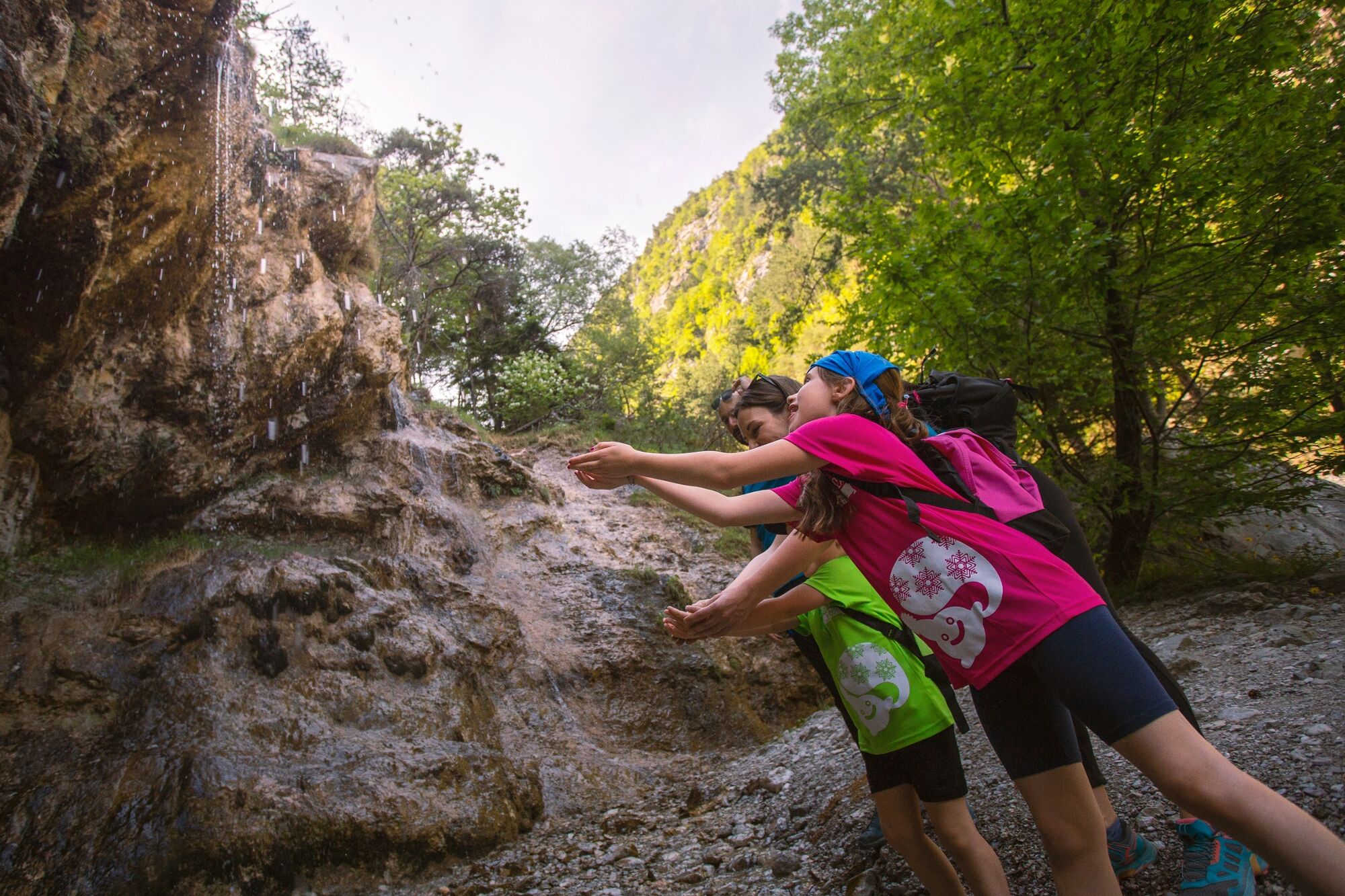
A medium level route through the forest you could enjoy the lovely shade of trees.
- Directions
-
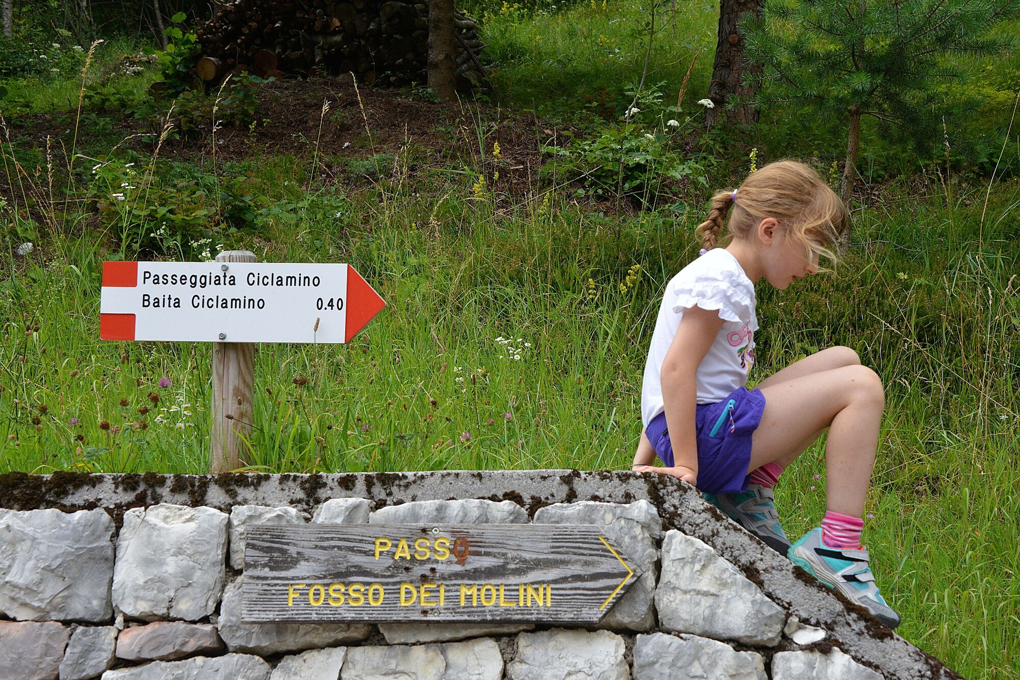
You take via Dolomiti, and you go on following the path 319 that leads to the Baita Ciclamino (950 m) along an asphalt road almost flat
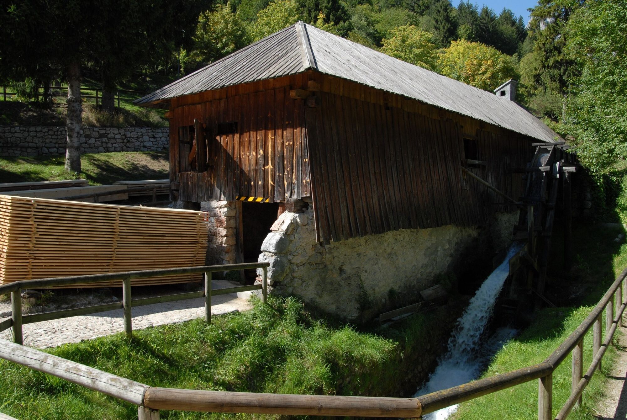
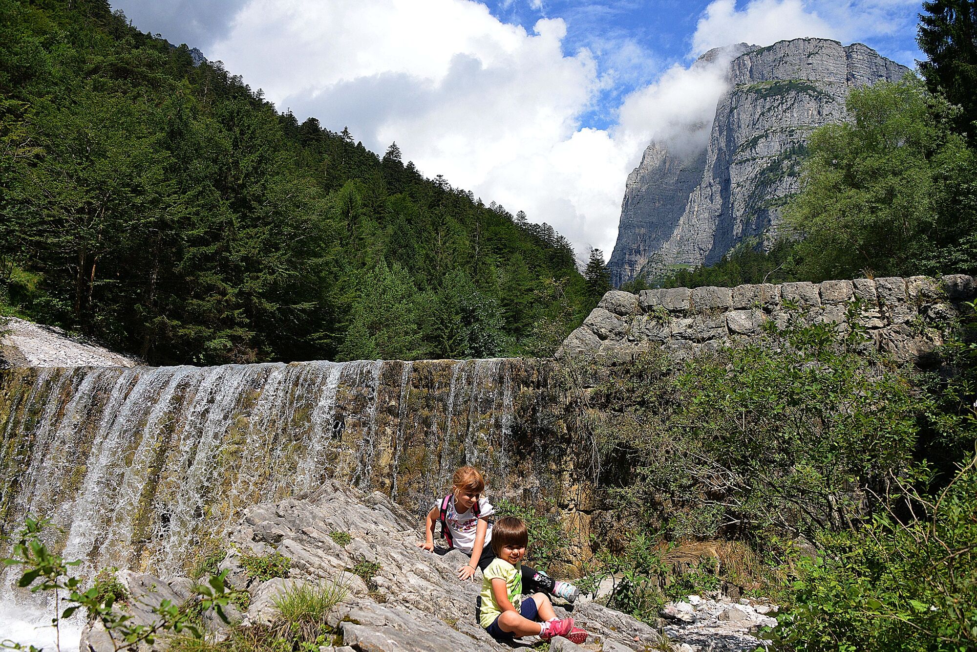
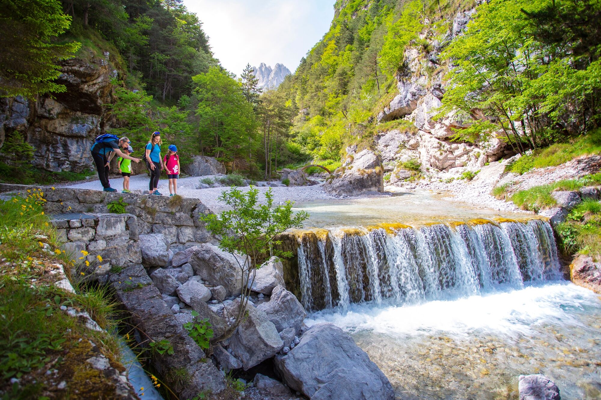
The return can be made on the opposite side of the alpine hut, along the Rio Massò, until votive dedicated to St Anthony, built by the family sawmill which miraculous rescue Thanksgiving Donini family for a large landslide (near the capital you can get in the bed of the stream to visit the remains of Molin dei Mori and waterfalls).
Continue keeping to the right, following the mountainside until the campsite near which rises the ancient Venetian sawmill Taialacqua (16th century).
- Highest point
- 954 m
- Endpoint
-
Molveno - Via Dolomiti
- Height profile
-
 © outdooractive.com
 - Safety instructions
-
Please note that the practicability of the itineraries in a mountain environment is strictly linked to the contingent conditions and is therefore influenced by natural phenomena, environmental changes and weather conditions. For this reason, the information contained in this page may have changed. Before leaving for a tour, make sure the path you will approach is still accessible by contacting the owner of the mountain hut, the alpine guides or the visitor centres of the nature parks, the info offices of the local tourist board.
- Tips
-
the ancient Venetian sawmill Taialacqua (16th century).
- Additional information
- Directions
-
If you come from the North side: At the roundabout near motorway exit you turn right on Mezzolombardo. After travel across the village, following the driving direction for Fai della Paganella - Andalo - Molveno
If you come from the South side: From the motorway exit of Trento Nord you proceed on Val di Non e Altopiano della Paganella, at the exit of Mezzolombardo tunnel you turn on the right on SP 64. You proceed on Fai della paganella - Andalo direction.
- Public transportation
-
Trentino Trasporti - line 611 - Local train from Trento to Mezzolombardo (line Trento - Malé). From Mezzolombardo to Andalo take the bus.
- Parking
-
In the centre of Andalo or near the swimming pool (payment parking), near the sportscentre (free parking).

-

-
AuthorThe tour Molveno - Ciclamino alpine hut is used by outdooractive.com provided.